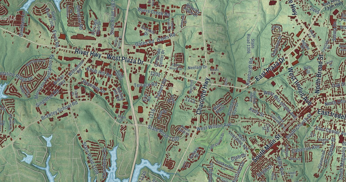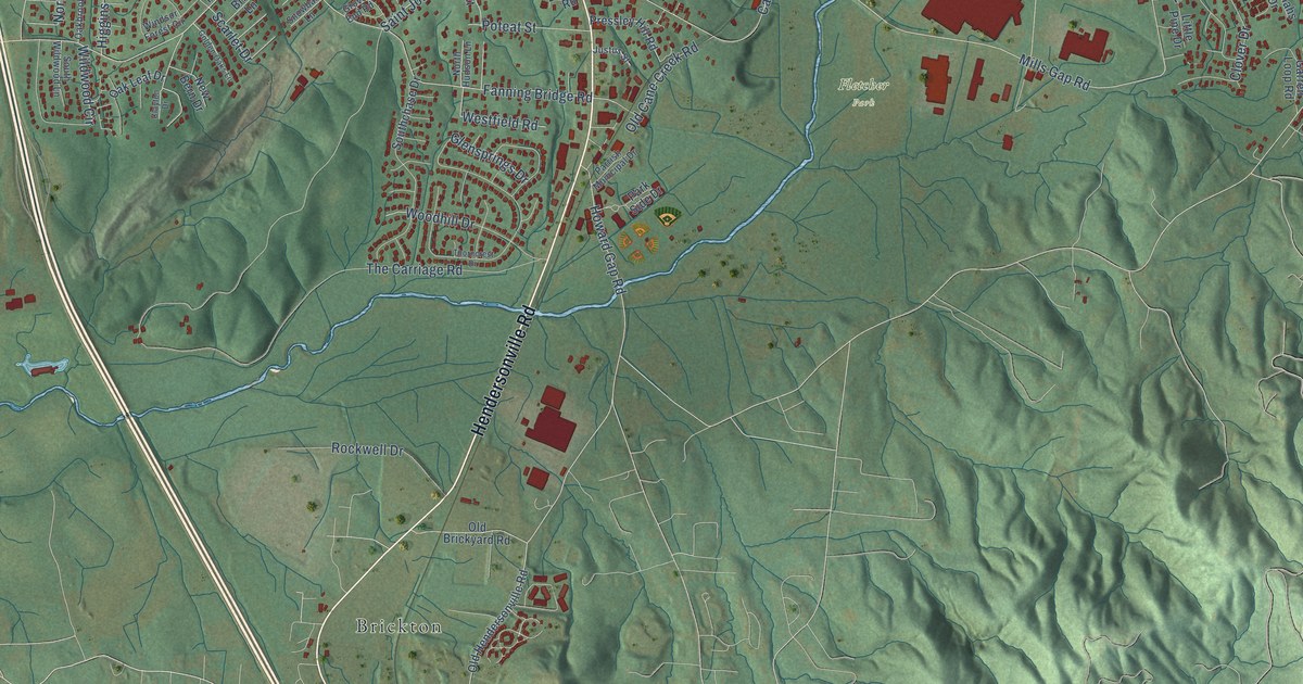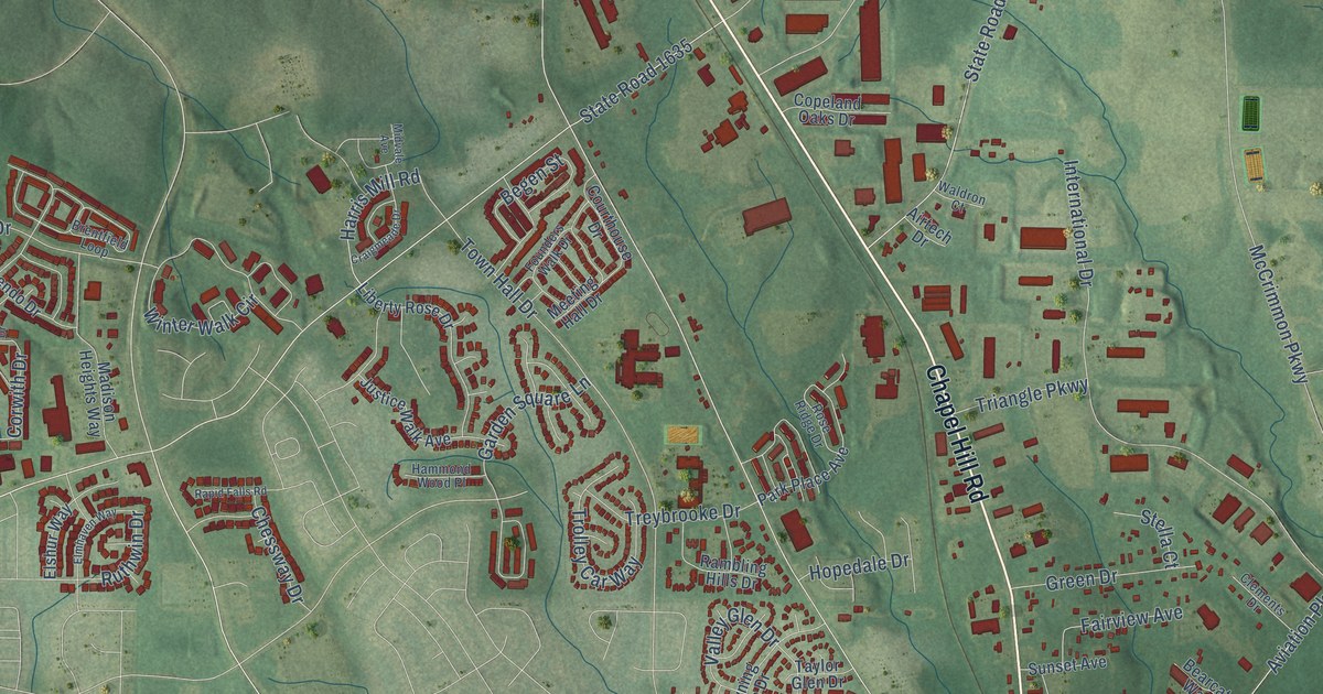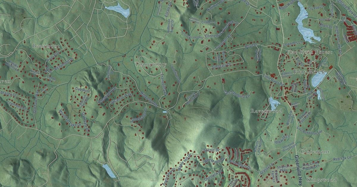
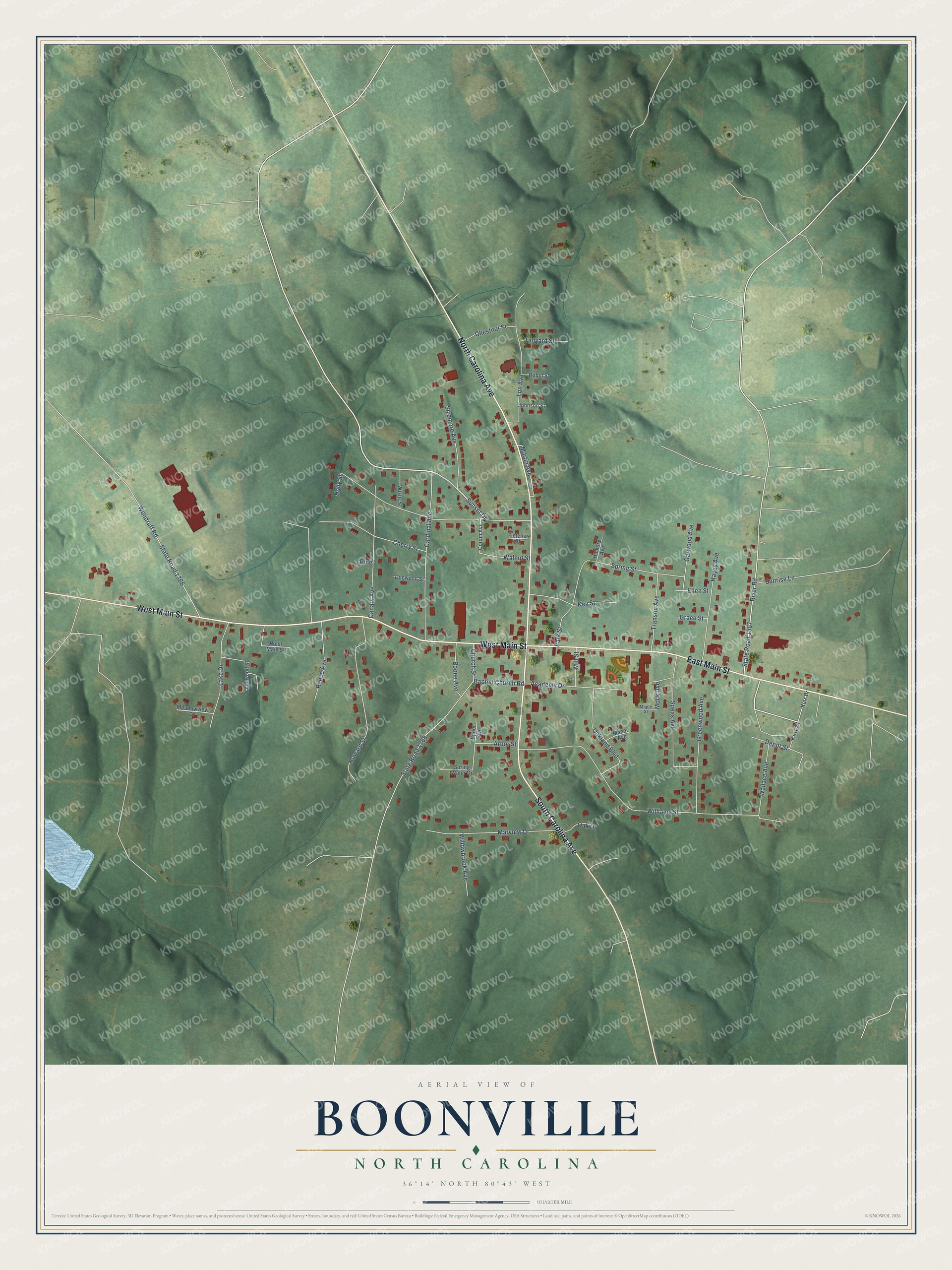
This beautifully detailed map of Boonville, North Carolina was created in 2026 using aerial imagery combined with modern topographical, census, street and landmark data. It's a modern aerial view of Boonville in Yadkin County, North Carolina, that combines modern data with a vintage aesthetic. The roads feature printed names, and if you look closely you can find your exact house accurately shown in its correct location.
Explore an aerial view of Boonville, North Carolina
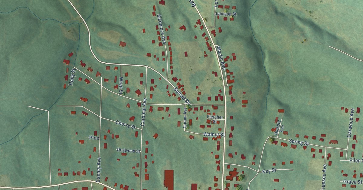
On this map you'll find West Main Street, North Carolina Avenue, East Main Street, South Carolina Avenue, Sunset Drive, State Road 1367, Williams Street, Baptist Church Road, State Road 1368, Speas Avenue, Holly Street, Cardinal Avenue, and more. Each red shape is a building, so zoom in on the preview and look for yours.
Boonville has a story worth telling. The North Carolina Gazetteer puts it this way: "Boonville town in N Yadkin County. Inc. 1895. Named for Daniel Boone (1734-1820), who is said to have camped at the site. Produces textiles and processed grain."
Boonville is a town in Yadkin County. The Census Bureau counted 1,185 people here in 2020.
Take a closer look at the Boonville map
Names on this map
These names are printed on this map.
Streets and roads: West Main Street, North Carolina Avenue, East Main Street, South Carolina Avenue, Sunset Drive, State Road 1367, Williams Street, Baptist Church Road, State Road 1368, Speas Avenue, Holly Street, Cardinal Avenue.
More street names, A to Z
Academy Drive, Arbor Street, Boone Avenue, Canary Avenue, Cherry Street, Chestnut Street, Church Street, Coram Avenue, Depot Street, Dogwood Street, Ellen Street, Fletcher Street, Garwood Avenue, Grace Street, Greenwood Avenue, Hayes Avenue, Hickory Avenue, Howard Street, Johnson Street, Kerr Drive, Kerr Street, Key Street, Knollwood Street, Lake Drive, Lon Avenue, Manor Avenue, Maple Street, Martin Avenue, Marview Drive, Meadowview Drive, Mill Street, Mock Avenue, Oak Drive, Oakland Boulevard, Park Street, Pine, Reece Avenue, River Road, Robin Street, Sizemore Avenue, Speer Avenue, Spring Street, Spring Water Drive, State Road 1366, Sunrise Lane, Tanyard Street, Transou Avenue, Wallace Avenue, Walnut Street, Willowbrook Avenue, Woodruff Road, Wren Street.
Created by KNOWOL in 2026. The buildings are small red shapes, the roads carry their printed names, and shaded relief shows the shape of the land. The title panel reads "AERIAL VIEW OF BOONVILLE NORTH CAROLINA" with 36°14' NORTH 80°43' WEST.
It looks right in a kitchen, an office or a den, and it's a gift for anyone who grew up in Boonville or moved away. Open the preview and find your street. See sizes and frames for the Boonville map.