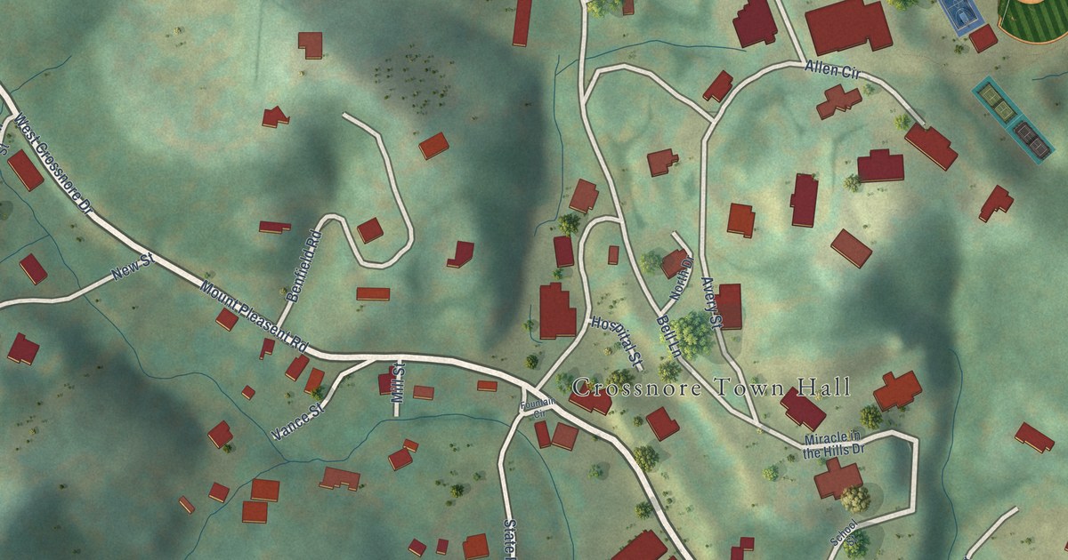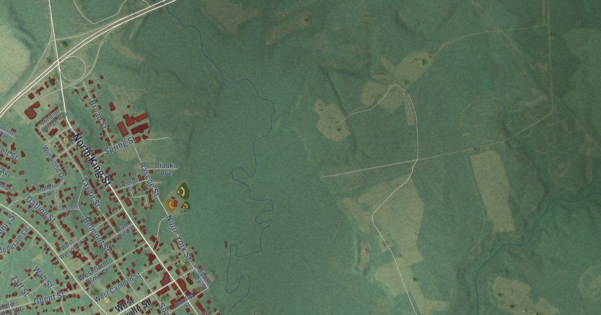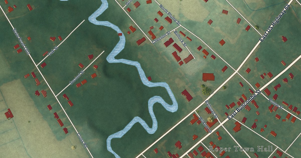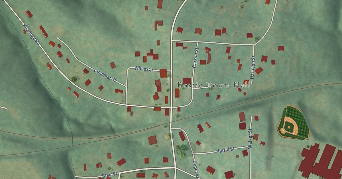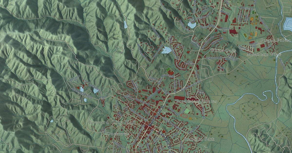
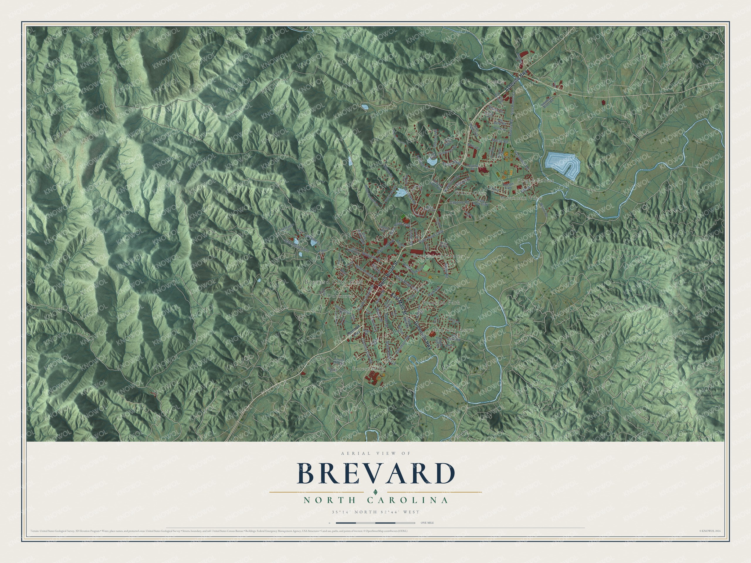
This beautifully detailed map of Brevard, North Carolina was created in 2026 using aerial imagery combined with modern topographical, census, street and landmark data. It's a modern aerial view of Brevard in Transylvania County, North Carolina, that combines modern data with a vintage aesthetic. The roads feature printed names, and if you look closely you can find your exact house accurately shown in its correct location.
Explore an aerial view of Brevard, North Carolina
On this map you'll find Brevard City Hall, Broadview Estates, Ducktown, Ecusta, Forest Hills, Franklin Park, McCrary Acres, Mountain View, Pisgah Forest, White Oaks, Asheville Highway, North Broad Street, and more. Each red shape is a building, so zoom in on the preview and look for yours.
Every town has a first chapter, and Brevard is no exception. The North Carolina Gazetteer puts it this way: "Brevard town and county seat, central Transylvania County. Est. as county seat 1861 or 1862; inc. 1889. Named for Ephriam Brevard (1744-81), teacher, secretary of the convention that drew up the Mecklenburg Resolves of May 31, 1775, and Revolutionary surgeon. Home of Brevard College, founded 1853 as Rutherford College, which see; merged in 1934 with Weaver College and took its present name. Summer music camp, begun in 1936, is there."
Brevard is a city in Transylvania County. The Census Bureau counted 7,744 people here in 2020.
Take a closer look at the Brevard map
Names on this map
These names are printed on this map.
Places: Brevard City Hall, Broadview Estates, Ducktown, Ecusta, Forest Hills, Franklin Park, McCrary Acres, Mountain View, Pisgah Forest and White Oaks.
Streets and roads: Asheville Highway, North Broad Street, East Main Street, Greenville Highway, Straus Parkway, Country Club Road, Whitmire Street, West Probart Street, State Road 1350, Gaston Street, Neely Road, Vanderbilt Road.
More street names, A to Z
Aiken Street, Allison Road, Andante Lane, Big Bend Road, Cambridge Drive, Camptown Road, Carolina Avenue, Cherry Street, Chestnut Street, Davidson River Road, Deavor Road, Deerlake Road, Deer Lake Road, Delphia Drive, Dodson Flats, Eagle Point Drive, Eastview Drive, Ecusta Road, Ecusta Vw, Elm Bend Road, Fisher Road, Forest Hill Circle, Fortune Cove Road, Fortune Cv, Fox Cross Drive, Gallimore Road, Glazener Road, Grove Street, Hawthorne Drive, Hays Street, High Vista Way, Hillside Heights, Hilt Street, Hospital Road, Kimzey Circle, Kings Creek Loop, King Street, Laurel Lane, Mamas Place, Maple Street, McLean Road, Mc Minn Avenue, Morris Road, North Oak Street, Old 64, Osborne Road, Owen Street, Park Avenue, Parkview Drive, Patton Lane, Pender Lane, Pine Mountain Trail, Pine Street, Pisgah Drive, Probart Street, Railroad Avenue, Rosenwald Lane, Rosman Highway, Rustling Woods Drive, Silversteen Drive, South Caldwell Street, South Rice Street, State Road 1119, State Road 1351, State Road 1353, State Road 1356, State Road 1357, State Road 1504, State Road 1512, State Road 1516, State Road 1544, State Road 1556, State Road 1569, Stone Drive, Stone Trail, Thomas Street, Tinsley Road, Top Hat Lane, Trail Side, Turnpike Road, Unity Drive, Varsity Street, Warren Lane, Welcome Street, West Lane, White Squirrel Lane, Whittington Road, Whitt Lane, Wilson Drive, Wilson Road.
Created by KNOWOL in 2026. The buildings are small red shapes, the roads carry their printed names, and shaded relief shows the shape of the land. The title panel reads "AERIAL VIEW OF BREVARD NORTH CAROLINA" with 35°14' NORTH 82°44' WEST.
Hang it in the hallway, the office or the cabin, or give it to someone who left Brevard and still calls it home. Open the preview and look for a street you know. See sizes and frames for the Brevard map.