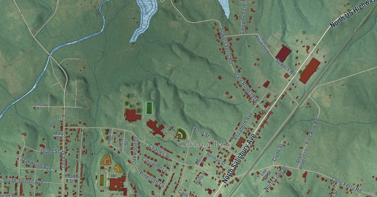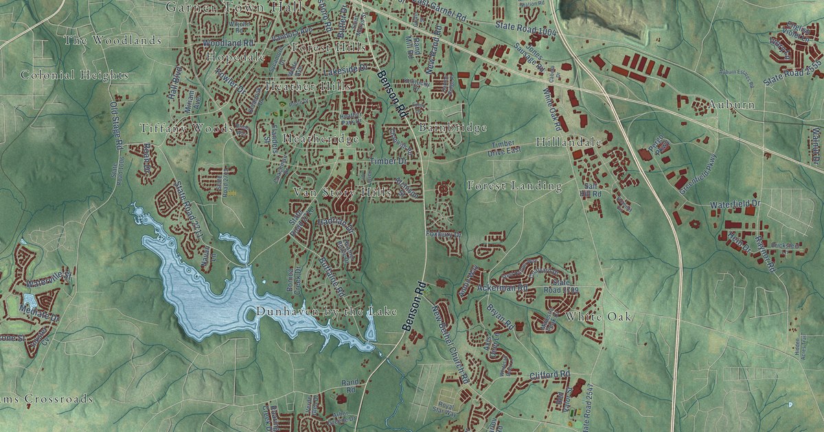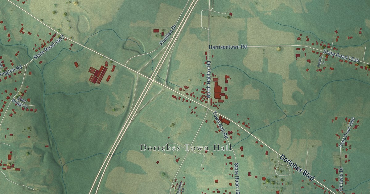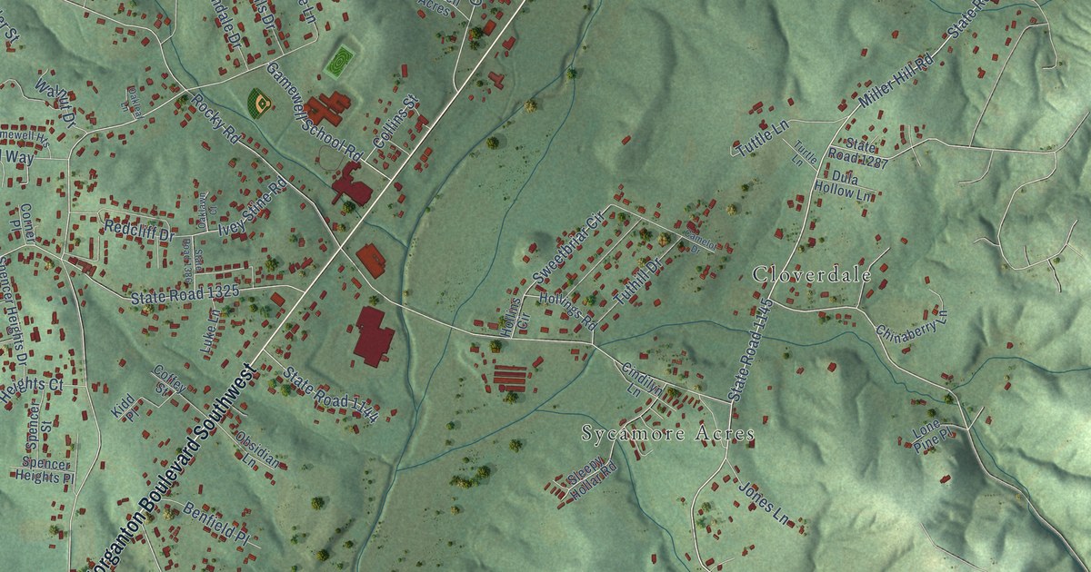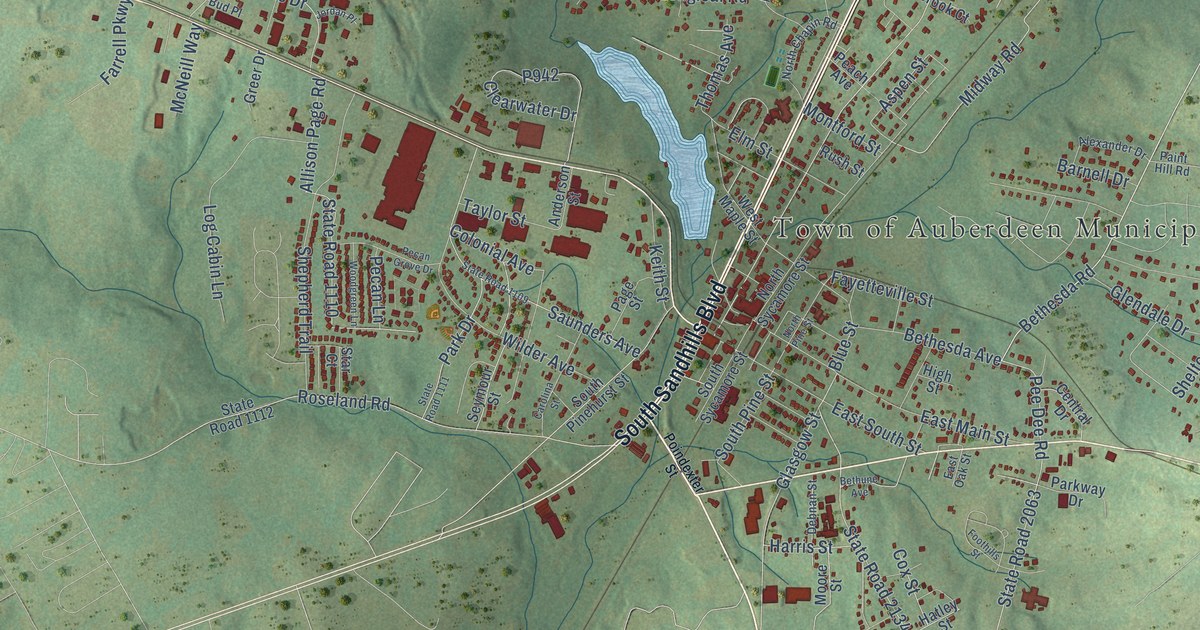
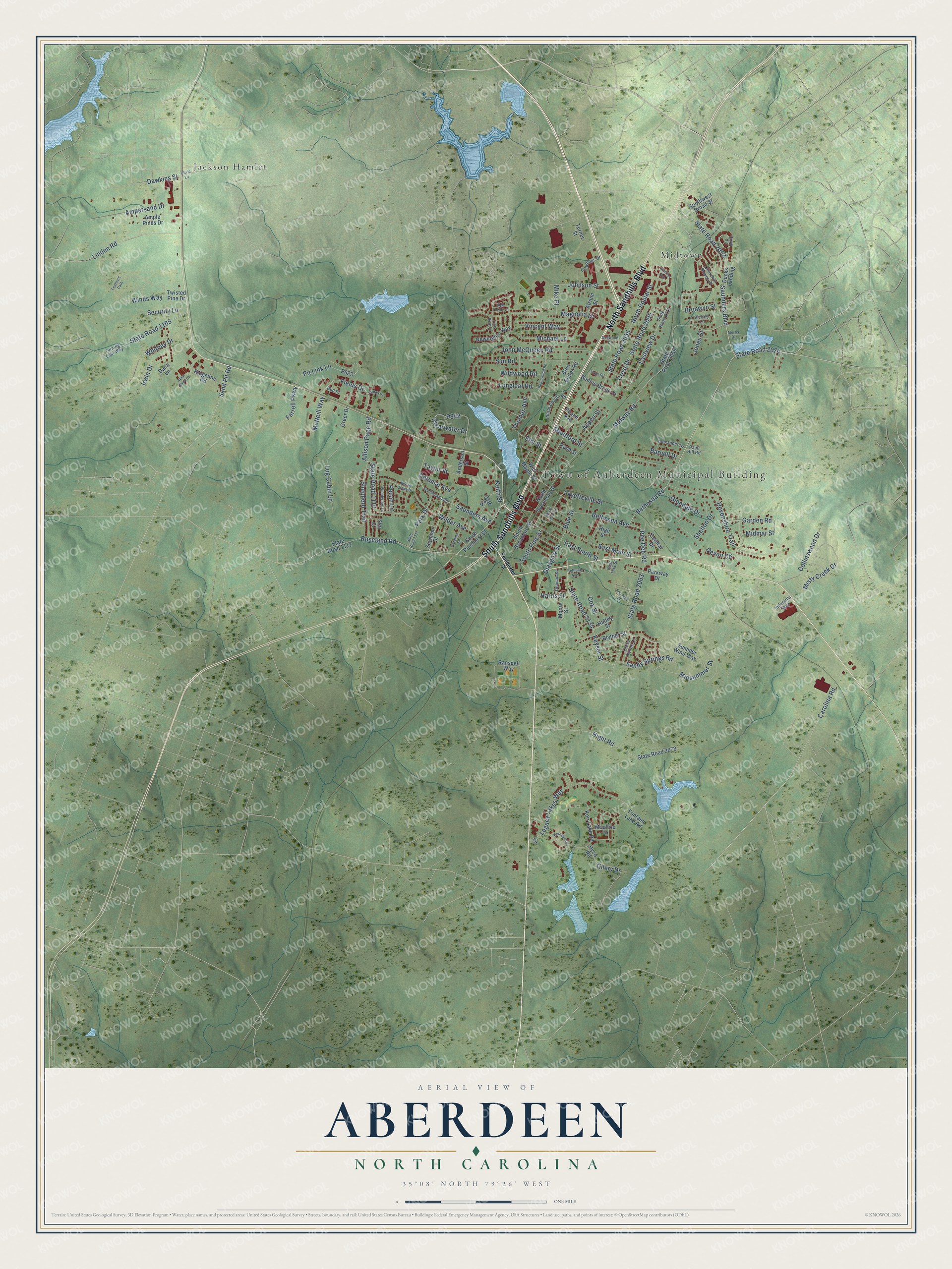
This beautifully detailed map of Aberdeen, North Carolina was created in 2026 using aerial imagery combined with modern topographical, census, street and landmark data. It's a modern aerial view of Aberdeen in Moore County, North Carolina, that combines modern data with a vintage aesthetic. The roads feature printed names, and if you look closely you can find your exact house accurately shown in its correct location.
Explore an aerial view of Aberdeen, North Carolina
On this map you'll find Town of Auberdeen Municipal Building, Jackson Hamlet, Midtown, North Sandhills Boulevard, South Sandhills Boulevard, Saunders Boulevard, State Road 2074, Bethesda Road, Colonial Avenue, Aspen Street, Shelton Drive, Bronwyn Street, and more. Each red shape is a building, so zoom in on the preview and look for yours.
Here is a piece of Aberdeen history, in the words of the record. The record at ncpedia.org puts it this way: "In 1889 the Aberdeen & West End Railroad was chartered to build a line from Aberdeen to Star, while the Asheboro & Montgomery built a line from Asheboro to Star from the other direction in 1896."
Aberdeen is a town in Moore County. The Census Bureau counted 8,516 people here in 2020.
Take a closer look at the Aberdeen map
Names on this map
These names are printed on this map.
Places: Town of Auberdeen Municipal Building, Jackson Hamlet and Midtown.
Streets and roads: North Sandhills Boulevard, South Sandhills Boulevard, Saunders Boulevard, State Road 2074, Bethesda Road, Colonial Avenue, Aspen Street, Shelton Drive, Bronwyn Street, Sand Pit Road, State Road 2055, North Poplar Street.
More street names, A to Z
Alexander Drive, Allison Page Road, Ampersand Drive, Ample Pines Drive, Anderson Street, Aqua Shed Court, Atrium Street, Barnell Drive, Bethesda Avenue, Bethune Avenue, Bion Butler Road, Blue Street, Blyther Street, Bonnie Brook Court, Buckler Avenue, Bud Place, Carolina Road, Carolina Street, Central Drive, Churchill Downs Drive, Circle, Clearwater Drive, Collinswood Drive, Columbus Drive, Cove Circle, Cox Street, Crest Drive, Cross Pointe Lane, Dana Lane, Dawkins Street, Debnan Street, Devon Circle, Devonshire Trail, Dogwood Drive, Ducks Landing, East Main Street, East Oak Street, East South Street, Eastview Drive, Elm Street, Farrell Parkway, Fayetteville Street, Feathers Path, Fields Drive, Fontana Lake Road, Foothills Street, Garden Road, Glasgow Street, Glendale Drive, Greer Drive, Harris Street, Hatley Street, High Street, High Tower Lane, Hight Road, Hyco Road, Industrial Way, Irwin Drive, John McQueen Road, Johnson Street, Jones Street, Jordan Place, Keith Street, Kerr Lake Road, Keyser Street, Legacy Lakes Way, Linden Road, Log Cabin Lane, Longleaf Road, Magnolia Drive, McNeill Way, Michael Lane, Midmar Street, Midsummer Street, Midway Road, Mike Place, Misty Creek Drive, Montford Street, Moore Street, Morris Drive, Moultrie Lane, Newington Way, Norman Circle, North Chapin Road, North Pine Street, North Sycamore Street, Olivia Lane, Page Road, Page Street, Paint Hill Road, Park Drive, Parkway Drive, Peach Avenue, Pecan Grove Drive, Pecan Lane, Pee Dee Road, Pine Brae Lane, Pit Link Lane, Poindexter Street, Ransdell Way, Ridgeline Road, Robinwood Road, Roseland Road, Rush Street, Sandy Springs Road, Saunders Avenue, Security Lane, Seymour Street, Shepherd Trail, South Pinehurst Street, South Pine Street, South Sycamore Street, Southwest Broad Street, Star Court, State Road 1109, State Road 1110, State Road 1111, State Road 1112, State Road 1165, State Road 2053, State Road 2059, State Road 2063, State Road 2078, State Road 2095, State Road 2114, State Road 2134, Summer Wind Way, Sun Road, Taylor Street, Thomas Avenue, Tillery Drive, Turner Street, Turning Leaf Way, Twisted Pine Drive, Victory Lane, Vincent Way, West Maple Street, Whitney Drive, Wilder Avenue, Wildwood Road, Winds Way, Woodgreen Lane.
Created by KNOWOL in 2026. The buildings are small red shapes, the roads carry their printed names, and shaded relief shows the shape of the land. The title panel reads "AERIAL VIEW OF ABERDEEN NORTH CAROLINA" with 35°08' NORTH 79°26' WEST.
It suits a den, a classroom or a front hall, and it makes a gift for anyone with Aberdeen roots. Open the preview and find the block you know. See sizes and frames for the Aberdeen map.