
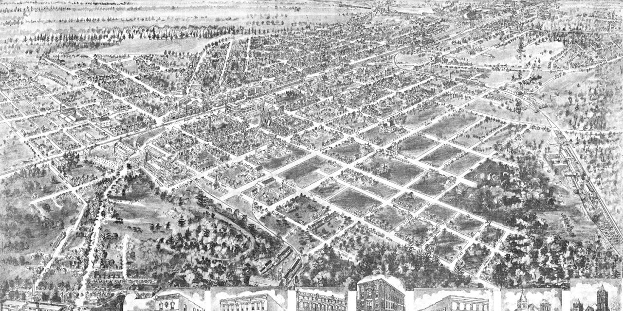
This map of Rocky Mount, North Carolina was first published by Thaddeus Mortimer Fowler in 1907. T.M. Fowler (1842 – 1922) was an American cartographer who spent much of his life creating beautiful hand drawn maps of American towns.
This map shows a bird’s eye view of Rocky Mount, NC as it looked at the beginning of the 20th century. Notable landmarks on the map include Tar River, Rocky Mount Lumber Company, The Planters Bank, Rocky Mount Schools, and multiple churches. There’s also a scene of people playing baseball in a field at the end of Bunn Street.
Click here to see the map of Rocky Mount, NC in 1907.
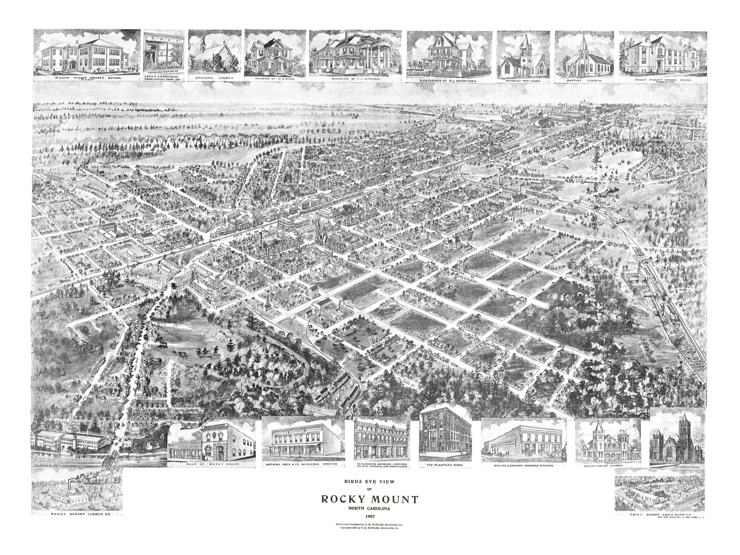
This map of Rocky Mount, NC has been lovingly restored by the team at KNOWOL. Reproductions of the restored map are available on museum quality, archival paper to ensure that this piece of Rocky Mount history can be passed on to the next generation. Click here to get yours.


