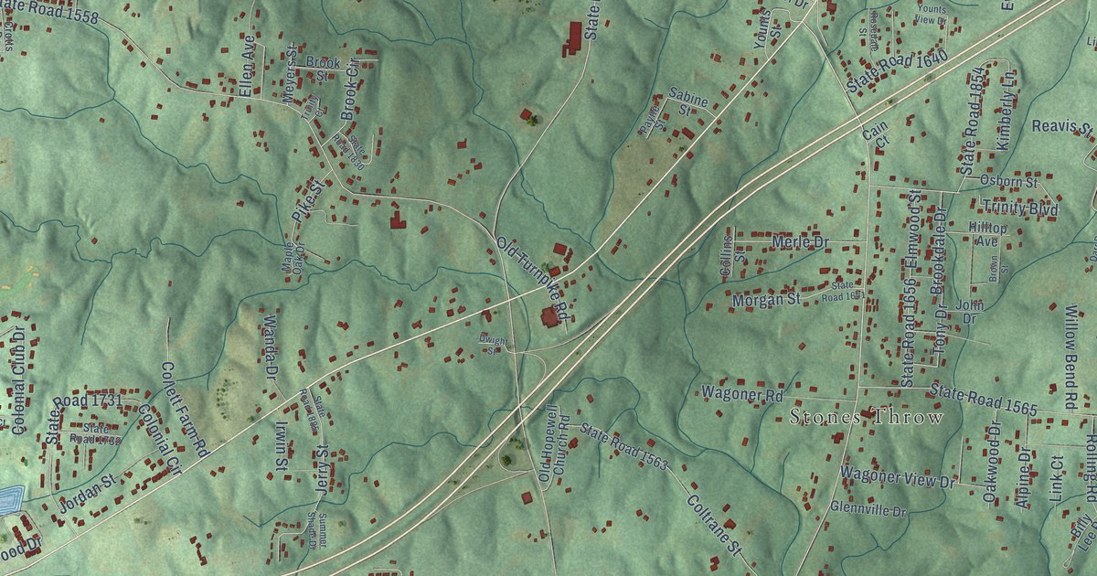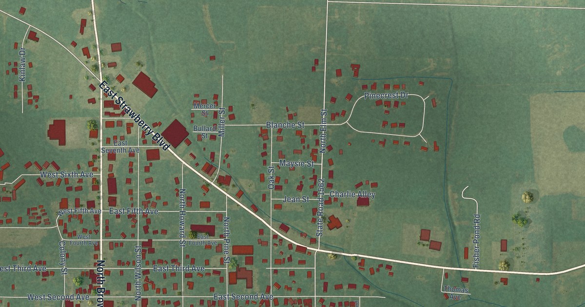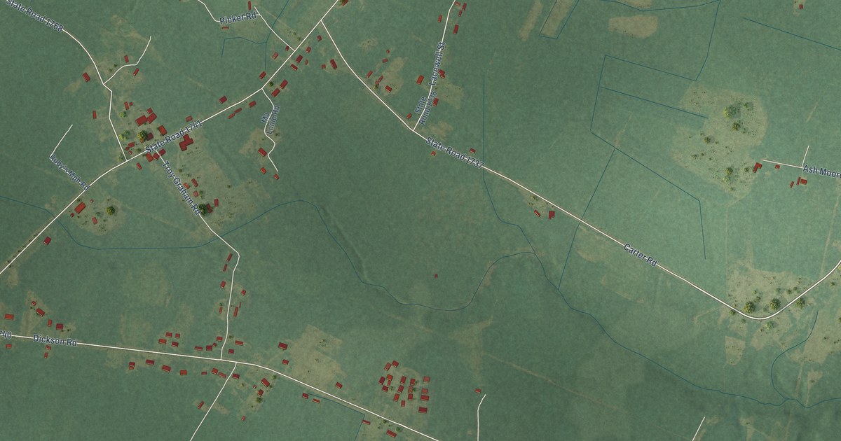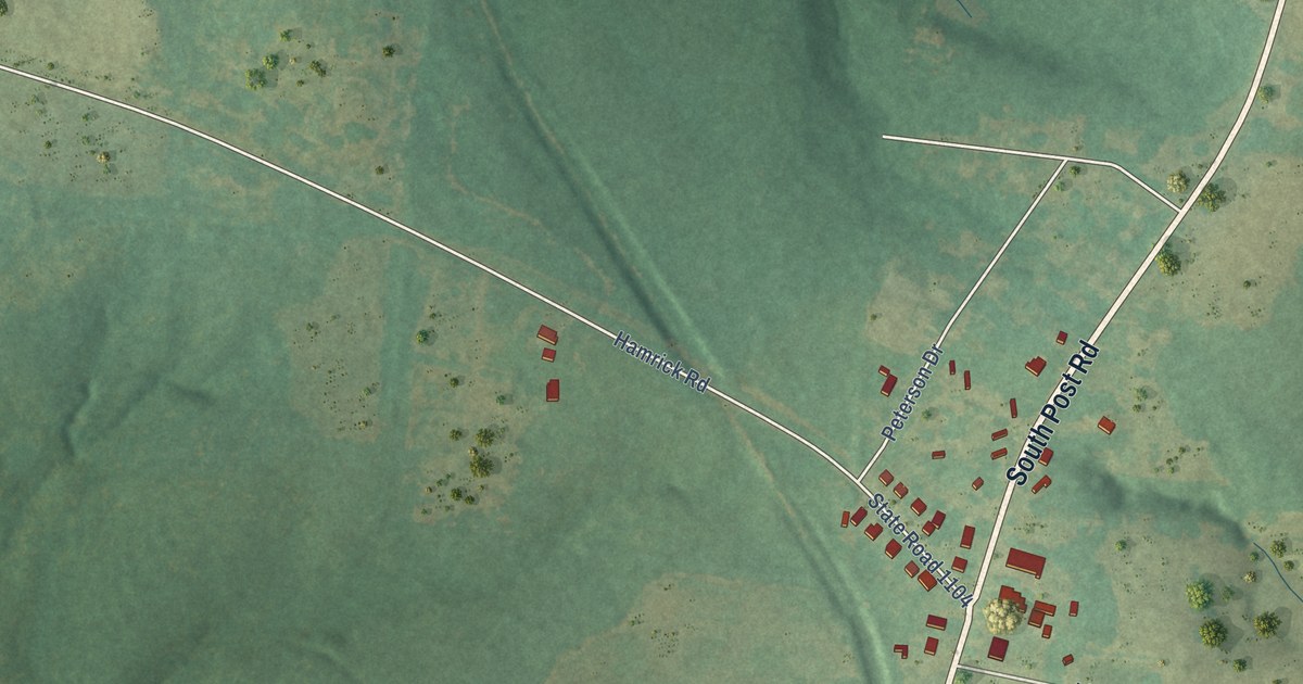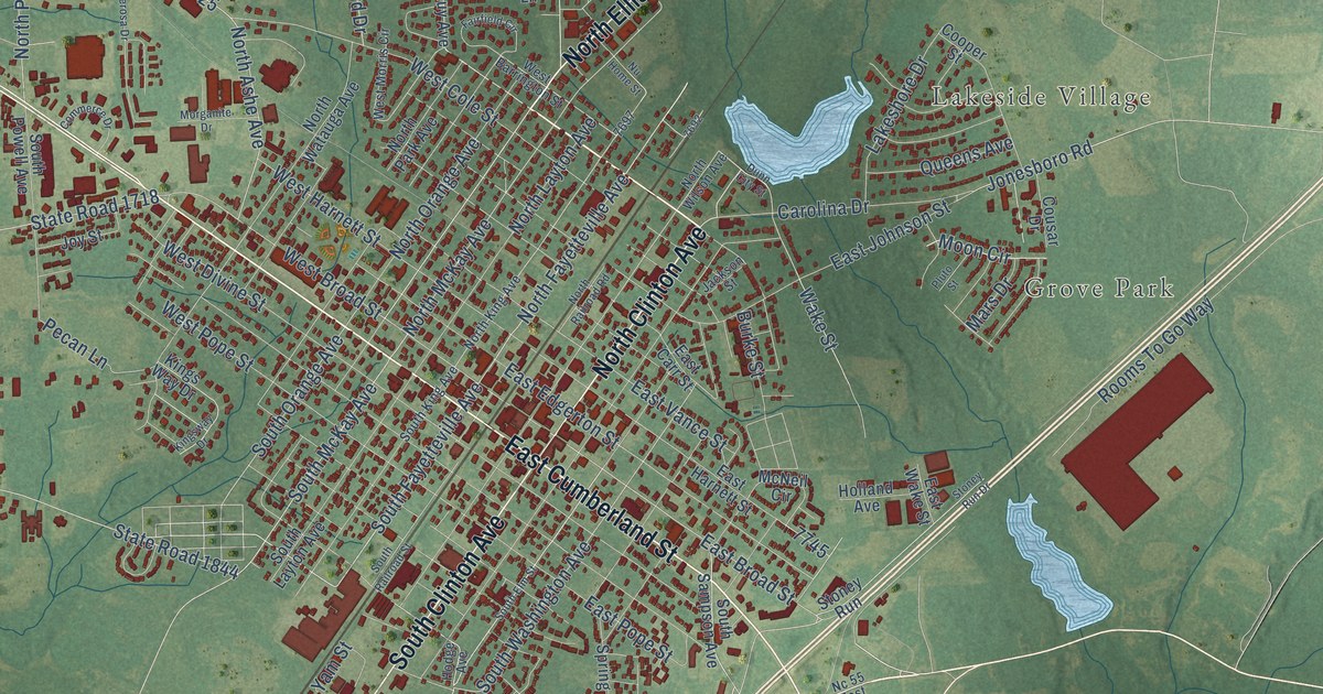
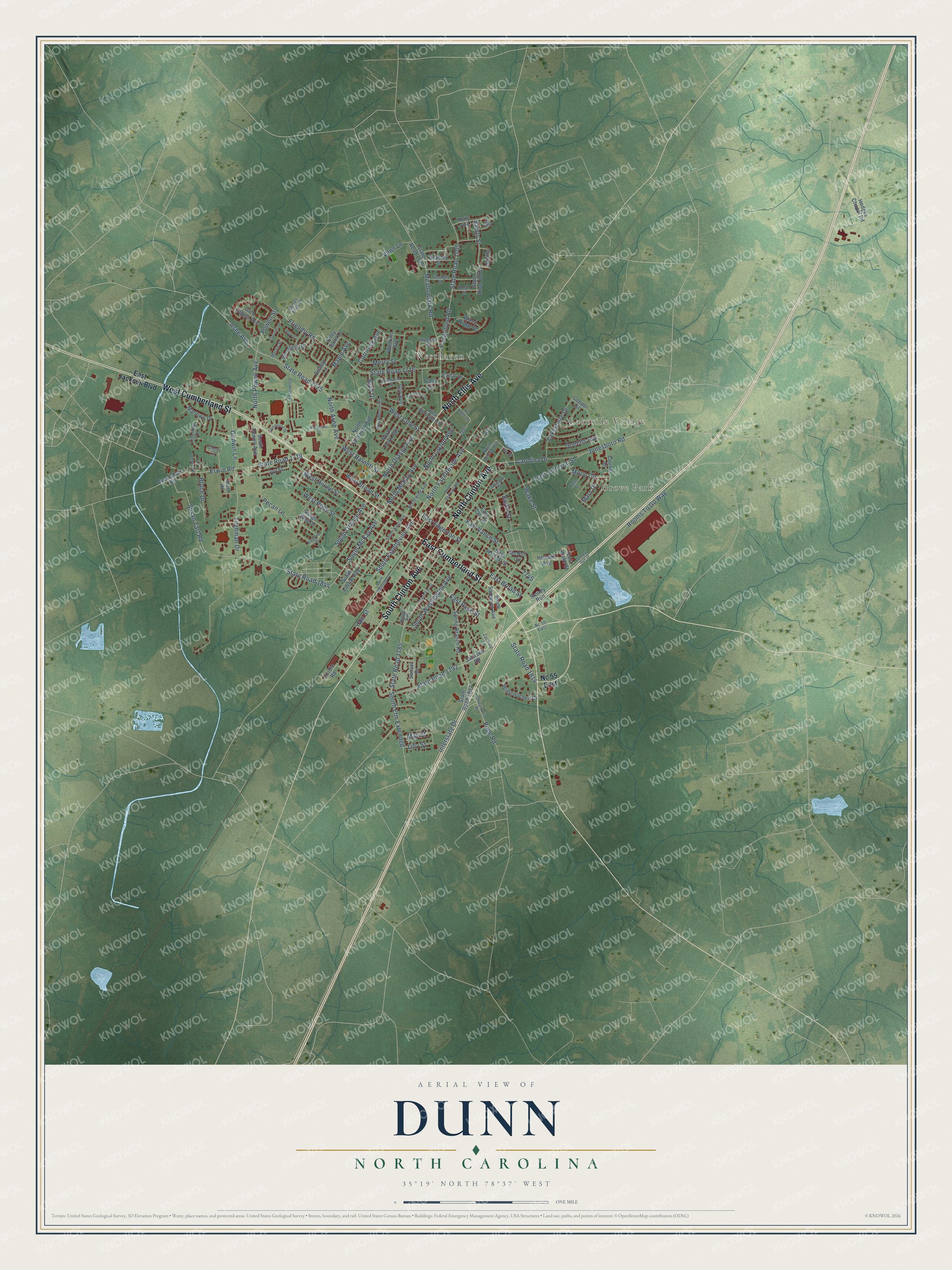
This beautifully detailed map of Dunn, North Carolina was created in 2026 using aerial imagery combined with modern topographical, census, street and landmark data. It's a modern aerial view of Dunn in Harnett County, North Carolina, that combines modern data with a vintage aesthetic. The roads feature printed names, and if you look closely you can find your exact house accurately shown in its correct location.
Explore an aerial view of Dunn, North Carolina
On this map you'll find Grove Park, Lakeside Village, Westhaven, North Ellis Avenue, North Clinton Avenue, West Cumberland Street, South Clinton Avenue, East Cumberland Street, South Fayetteville Avenue, North Fayetteville Avenue, State Road 1792, East Broad Street, and more. Each red shape is a building, so zoom in on the preview and look for yours.
Here is a piece of Dunn history, in the words of the record. The record at dncr.nc.gov puts it this way: "By 1917, the Maple Grove Indian community that had formed near Dunn was large enough to begin petitioning for a school of their own."
Dunn is a city in Harnett County. The Census Bureau counted 8,446 people here in 2020.
Take a closer look at the Dunn map
Names on this map
These names are printed on this map.
Places: Grove Park, Lakeside Village and Westhaven.
Streets and roads: North Ellis Avenue, North Clinton Avenue, West Cumberland Street, South Clinton Avenue, East Cumberland Street, South Fayetteville Avenue, North Fayetteville Avenue, State Road 1792, East Broad Street, Wake Street, South Washington Avenue, North McKay Avenue.
More street names, A to Z
Ashe Avenue, Averasboro Road, Basin Street, Beasley Street, Bishop Lane, Bruce Drive, Burke Street, Byrd Drive, Canal Drive, Carolina Drive, Cherry Lane, Coleridge Drive, Col Johnson Drive, Commerce Drive, Cooper Street, Cousar Drive, Crescent Drive, Currituck Avenue, Dunn City Street, East Carr Street, East Edgerton Street, East Harnett Street, East Jackson Boulevard, East Johnson Street, East Pope Street, East Vance Street, East Wake Street, Erwin Road, Fairfield Circle, Fairground Road, Friendly Road, George Street, Glen Eagles Avenue, Godwin Lane, Gulf Drive, Gum Street, Guy Avenue, Hodge Avenue, Hodges Chapel Road, Holland Avenue, Holly Avenue, Hunt Drive, Interstate Drive, Jackson Road, Jackson Street, Jonesboro Road, Joy Street, Kings Way Drive, Kingsway Drive, Lakeshore Drive, Lilly Street, Maple Avenue, Marlowe Drive, Mars Drive, Martin Street, May Street, McNeil Circle, Meadowlark Road, Merry Street, Moon Circle, Morganite Drive, Moses Tripp Lane, Nc 55 East, North Ashe Avenue, North King Avenue, North Layton Avenue, North Orange Avenue, North Park Avenue, North Powell Avenue, North Railroad Road, North Watauga Avenue, North Wilson Avenue, Nu Home Street, Pecan Lane, Pluto Street, Ponderosa Drive, Pope Road, Powell Street, Purdie Road, Queens Avenue, Riley Vann Lane, Rooms To Go Way, Rose Circle, Saints Street, South Elm Extended, South Elm Street, South King Avenue, South Layton Avenue, South McKay Avenue, South Orange Avenue, South Powell Avenue, South Railroad Street, South Sampson Avenue, Spring Branch Road, Springbranch Road, State Road 1705, State Road 1715, State Road 1716, State Road 1718, State Road 1725, State Road 1785, State Road 1814, State Road 1837, State Road 1844, State Road 1874, Stoney Run, Stoney Run Drive, Sunset Drive, Susan Tart Road, Tilghman Drive, Tracy Lane, Vann Lane, Webster Drive, Wellons Avenue, West Barrington Street, West Broad Street, West Cole Street, West Divine Street, Westfield Drive, West Harnett Street, Westhaven Street, West Morris Circle, West Pope Street, Winterlochen Drive, Wood Ridge Drive, Yam Street, Zachary Lane.
Created by KNOWOL in 2026. The buildings are small red shapes, the roads carry their printed names, and shaded relief shows the shape of the land. The title panel reads "AERIAL VIEW OF DUNN NORTH CAROLINA" with 35°19' NORTH 78°37' WEST.
It suits a den, a classroom or a front hall, and it makes a gift for anyone with Dunn roots. Open the preview and find the block you know. See sizes and frames for the Dunn map.