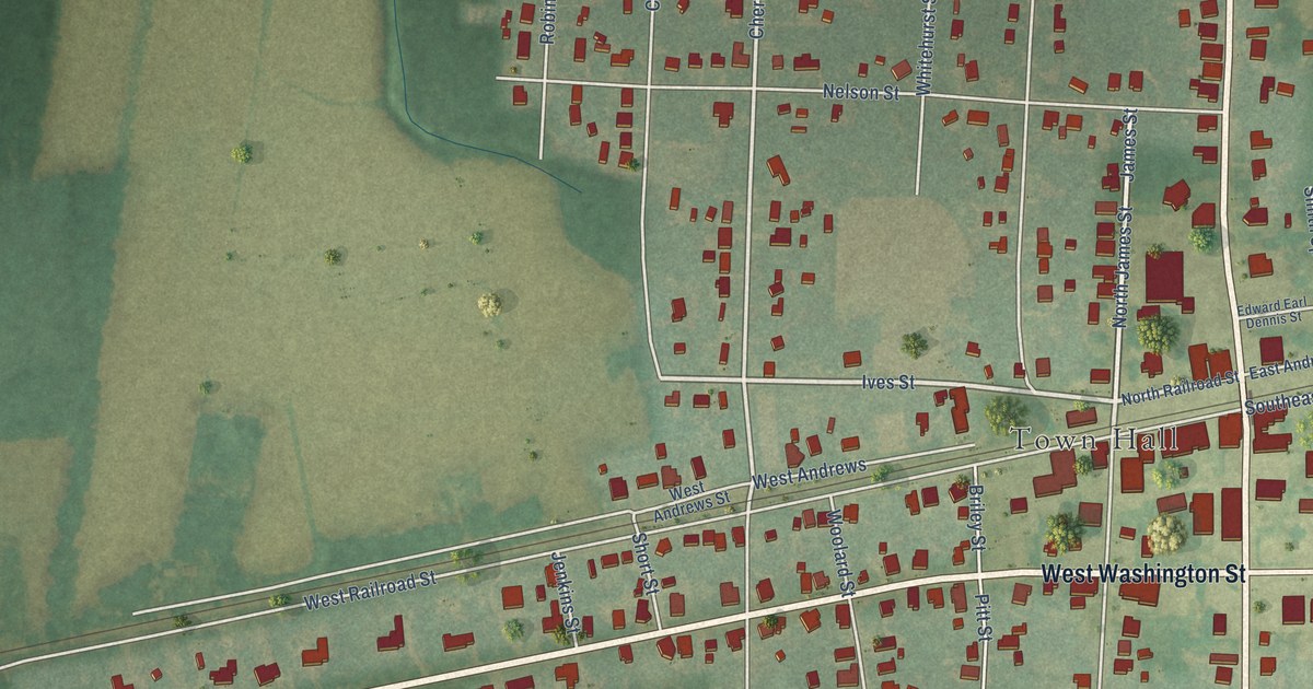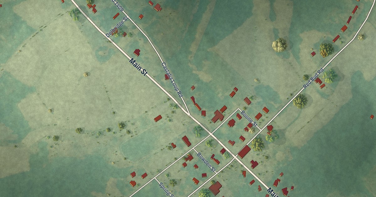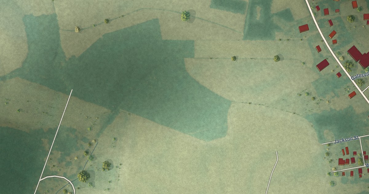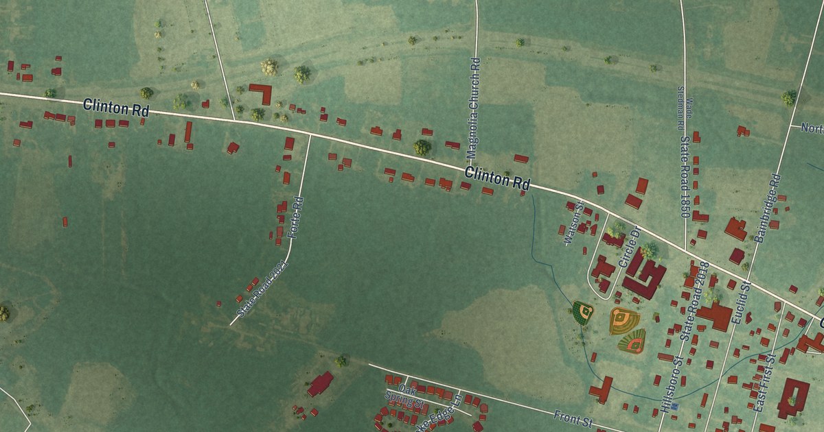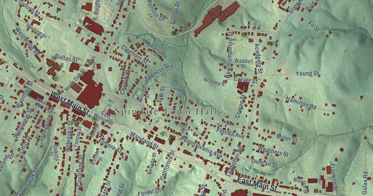
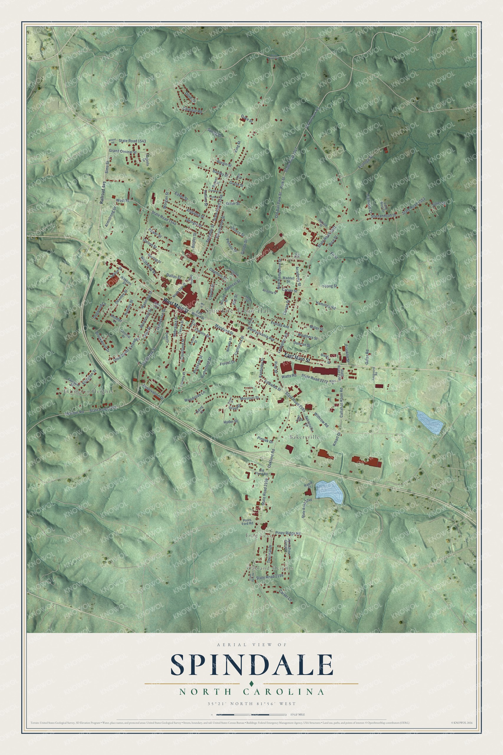
This beautifully detailed map of Spindale, North Carolina was created in 2026 using aerial imagery combined with modern topographical, census, street and landmark data. It's a modern aerial view of Spindale in Rutherford County, North Carolina, that combines modern data with a vintage aesthetic. The roads feature printed names, and if you look closely you can find your exact house accurately shown in its correct location.
Explore an aerial view of Spindale, North Carolina
On this map you'll find Spindale Town Hall, Oakland Heights, Frog Level, Bakersville, Ellington Heights, East Main Street, West Main Street, State Road 1547, New Hampshire Street, Florida Avenue, Huntley Street, Courtland Street, and more. Each red shape is a building, so zoom in on the preview and look for yours.
Every town has a first chapter, and Spindale is no exception. The North Carolina Gazetteer puts it this way: "Spindale town in central Rutherford County. Est. 1916 by K. S. Tanner and named by him for its location in a valley where cotton mills were est. Inc. 1923. Isothermal Community College, est. 1966, is located there."
Spindale is a town in Rutherford County. The Census Bureau counted 4,225 people here in 2020.
Take a closer look at the Spindale map
Names on this map
These names are printed on this map.
Places: Spindale Town Hall, Oakland Heights, Frog Level, Bakersville and Ellington Heights.
Streets and roads: East Main Street, West Main Street, State Road 1547, New Hampshire Street, Florida Avenue, Huntley Street, Courtland Street, Spindale Street, State Road 1546, Ledbetter Road, State Road 1591, Oakland Road.
More street names, A to Z
Academy Street, Alabama Street, Arizona Street, Armstrong Drive, Augusta Drive, Bakersville Street, Bartley Street, Blanton Street, Border Street, Brookwood Drive, Burgin Street, Burwell Street, California Street, Callahan Koon Road, Campbell Street, Cardinal Road, Carver Lane, Carver Street, Cedar Street, Center Street, Church Street, Cleghorn Street, Clyde Avenue, Colonial Drive, Country Place, Cowan Street, Crowe Dairy Road, Dakota Street, Dallas Street, Deviney Street, Dogwood Lane, Dove Lane, Duke Street, Duncan Street, East Street, East Wilson Street, Eastwood Street, Eaves Street, Ecology Street, Edwards Street, Ellington Street, Elmore Street, Elm Street, Fairground Road, Fairmont Street, Fir Street, Forest Drive, Franklin Street, Galax Road, Georgia Street, Godfrey Street, Goode Street, Grand Central Street, Grant Street, Greer Street, Grose Street, Hamilton Road, Hawkins Street, Hayden Street, Highland Court, Hillside Street, Hollins Street, Hyder Street, Indiana Street, Iowa Street, Kentucky Street, King Street, Kmart Drive, Little West Drive, Maryland Street, Miller Street, Mill Street, Missouri Street, Morgan Street, Nebraska Street, Nevada Street, North Oak Street, Oakland Heights Road, Ohio Street, Ohio Street Extended, Old Ball Park Road, Old Ball Park Street, Old Flynn Road, Oxford Street, Park Street, Pennsylvania Avenue, Penson Drive, Pine Street, Piney Ridge Road, Pinoak Drive, Pleasant Street, Poors Ford Road, Power Street, Prince Street, Railroad Avenue, Rapid Court, Reservation Drive, Revely Street, Rice Street, Riding Street, Rutherford Street, Setzer Street, Shenandoah Drive, Silver Street, Sims Street, South Oak Street, Spencer Street, Spring Drive, Spruce Street, State Road 1543, State Road 1544, State Road 1548, State Road 1553, State Road 2169, State Road 2185, State Road 2188, State Road 2199, State Road 2201, State Road 2246, State Road 2272, Sterling Street, Stonecutter Street, Sunset Street, Tanner Street, Tennessee Street, Thermal Drive, Thunder Road, Waddell Street, Watts Road, Watts Street, Weathers Street, West Street, Westwood Street, Wilson Road, Wisconsin Street, Withrow Road, Woodcove Lane, Woodlyn Lane, Wyoming Street, Yelton Street, Young Street.
Created by KNOWOL in 2026. The buildings are small red shapes, the roads carry their printed names, and shaded relief shows the shape of the land. The title panel reads "AERIAL VIEW OF SPINDALE NORTH CAROLINA" with 35°21' NORTH 81°56' WEST.
Hang it in the hallway, the office or the cabin, or give it to someone who left Spindale and still calls it home. Open the preview and look for a street you know. See sizes and frames for the Spindale map.