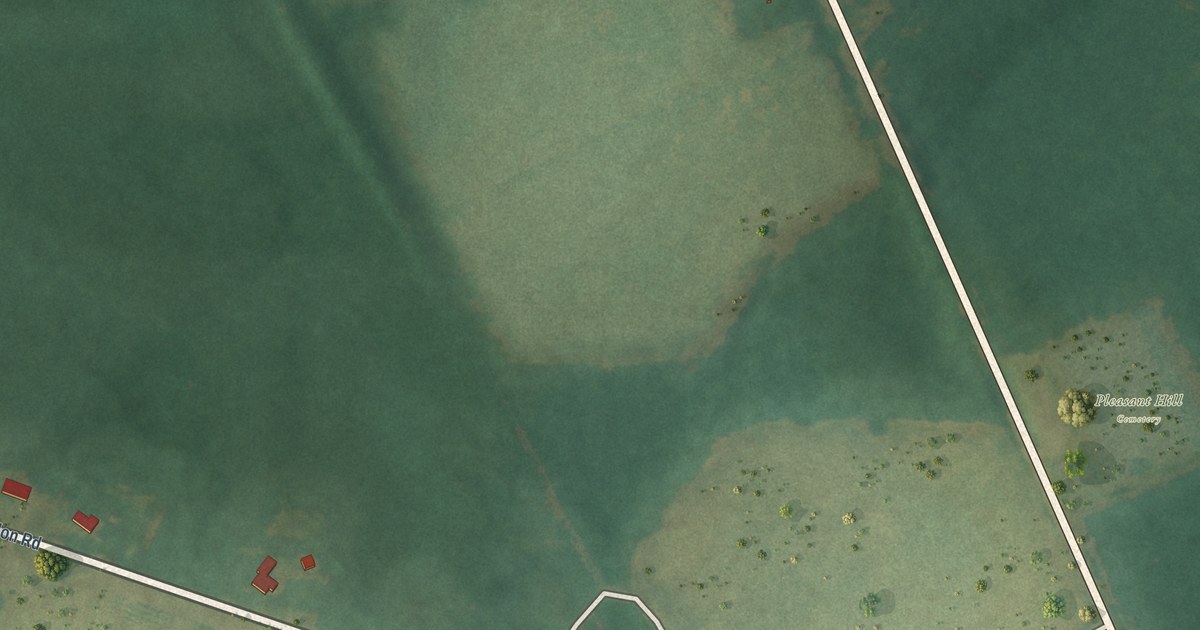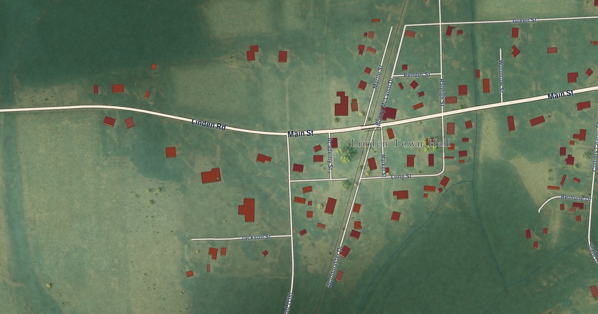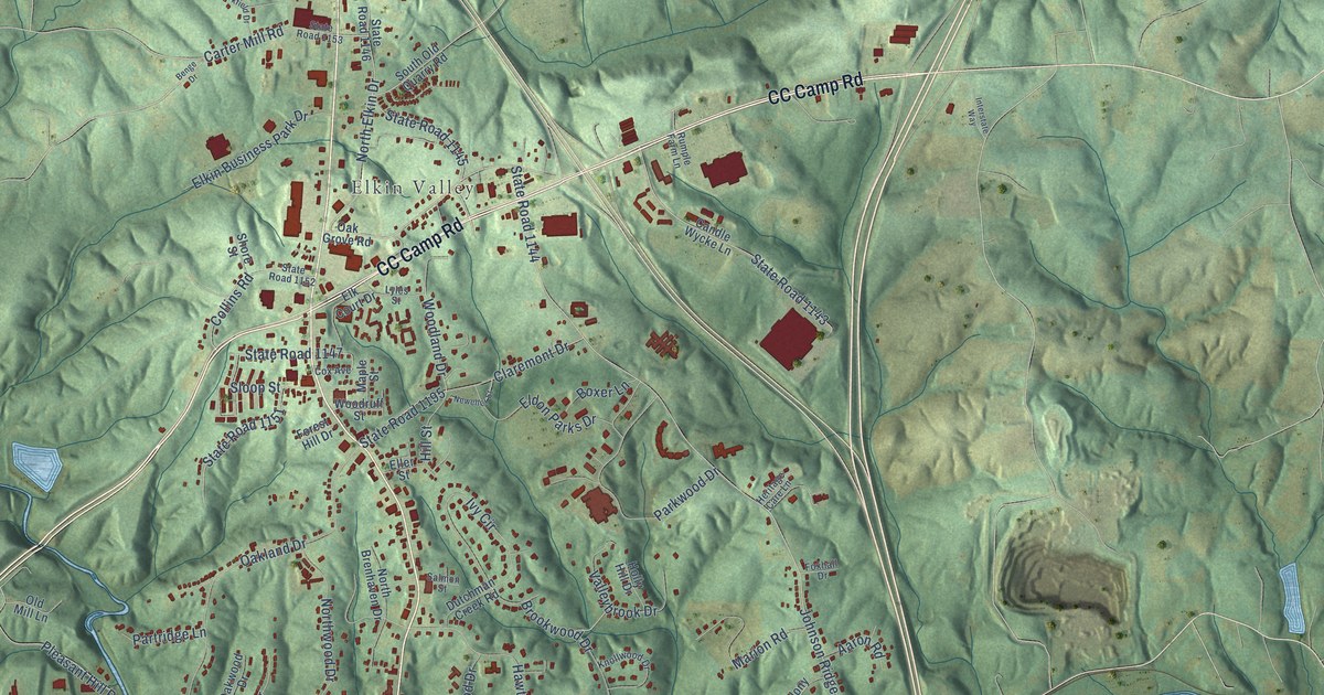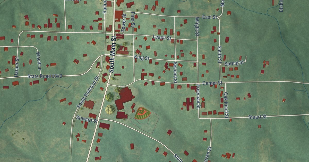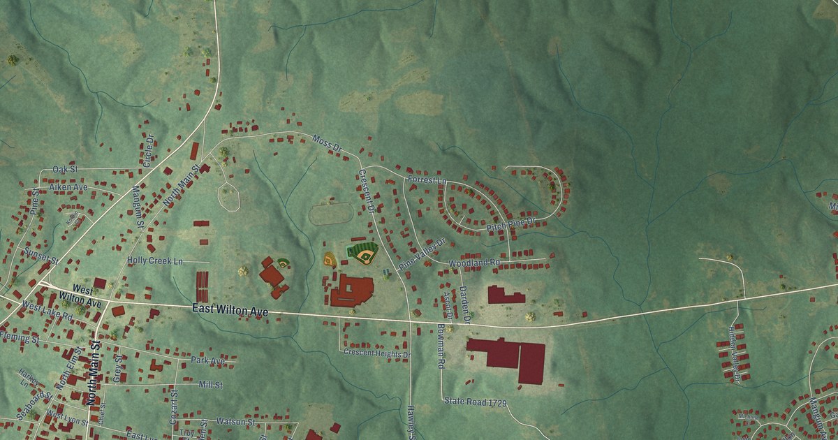
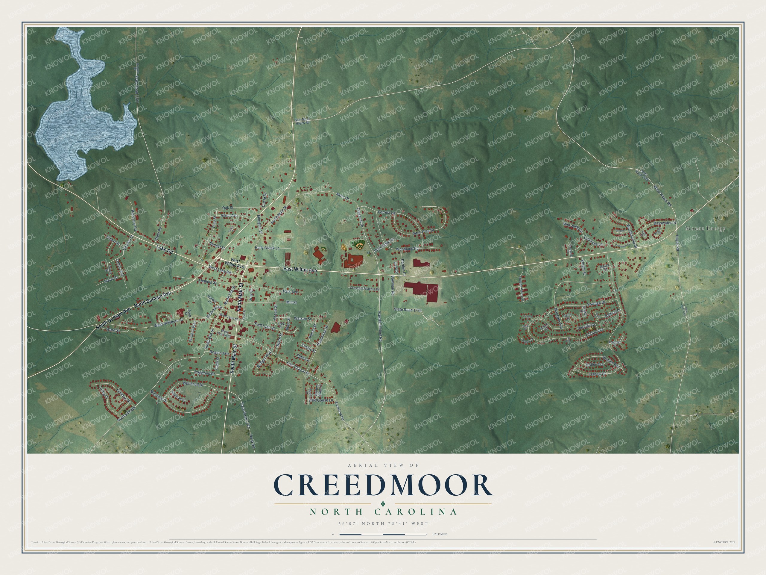
This beautifully detailed map of Creedmoor, North Carolina was created in 2026 using aerial imagery combined with modern topographical, census, street and landmark data. It's a modern aerial view of Creedmoor in Granville County, North Carolina, that combines modern data with a vintage aesthetic. The roads feature printed names, and if you look closely you can find your exact house accurately shown in its correct location.
Explore an aerial view of Creedmoor, North Carolina
On this map you'll find Mount Energy, North Main Street, North Durham Avenue, East Wilton Avenue, Lake Road, South Main Street, South Durham Avenue, Crescent Drive, Charles Street, Hawley School Road, South Elm Street, East Church Street, and more. Each red shape is a building, so zoom in on the preview and look for yours.
Creedmoor has a story worth telling. The North Carolina Gazetteer puts it this way: "Creedmoor town in SW Granville County. Founded about 1840 by Thomas Lyon. Inc. 1895 as Creedmore; reincorporated 1905 as Creedmoor. Appears as Creedmoor in an 1887 atlas."
Creedmoor is a city in Granville County. The Census Bureau counted 4,866 people here in 2020.
Take a closer look at the Creedmoor map
Names on this map
These names are printed on this map.
Places: Mount Energy.
Streets and roads: North Main Street, North Durham Avenue, East Wilton Avenue, Lake Road, South Main Street, South Durham Avenue, Crescent Drive, Charles Street, Hawley School Road, South Elm Street, East Church Street, Moss Hayes Road.
More street names, A to Z
Aiken Avenue, Allen Street, Andrea Drive, Apple Street, Ascot Drive, Bailey Court, Barry Court, Bayswater Drive, Bowden Drive, Bowles Avenue, Bowman Road, Brassfield Road, Bridget Way, Brogden Road, Cash Street, Cherry Street, Chief Street, Circle Drive, Clifton Avenue, Cotton Avenue, Cozart Street, Crescent Heights Drive, Darden Drive, Dillon Court, Dogwood Drive, Dorothy Court, Dove Road, East Lyon Street, Elbert Street, Ferbow Street, Fillmore Drive, Fleming Street, Forrest Lane, Frances Court, Garry Court, Gregory Court, Grey Street, Harkey Lane, Hayes Road, Helen Street, Hidden Valley Drive, Holly Creek Lane, Howland Court, Hunters Ridge Drive, Hyde Court, Irving Place, Josie Court, Joyce Court, Knight Street, Korbin Court, Mangum Avenue, Mangum Street, Mayview Drive, Michelle Court, Mill Street, Mint Julep Drive, Moss Drive, North Elm Street, Northside Road, North Street, Oak Street, Orchard Court, Park Avenue, Peachtree Street, Pecan Street, Pine Street, Pine Valley Drive, Pitch Pine Drive, Primrose Lane, Quail Court, Queensway Court, Recovery Road, Regent Court, Rogers Avenue, Sadler Avenue, Sam Moss Hayes Road, Scott Street, Seaboard Street, Shipley Court, Southerby Road, State Road 1127, State Road 1636, State Road 1702, State Road 1721, State Road 1729, Stem Road, Sunset Street, Troy Street, Ward Street, Watson Street, Westbourne Drive, West Church Street, West Hillsboro Street, West Lake Road, West Lyon Street, West Wilton Avenue, Whitehall Drive, Wild Goose Lane, Wilsons Way, Woodland Road, Young Street.
Created by KNOWOL in 2026. The buildings are small red shapes, the roads carry their printed names, and shaded relief shows the shape of the land. The title panel reads "AERIAL VIEW OF CREEDMOOR NORTH CAROLINA" with 36°07' NORTH 78°41' WEST.
It looks right in a kitchen, an office or a den, and it's a gift for anyone who grew up in Creedmoor or moved away. Open the preview and find your street. See sizes and frames for the Creedmoor map.