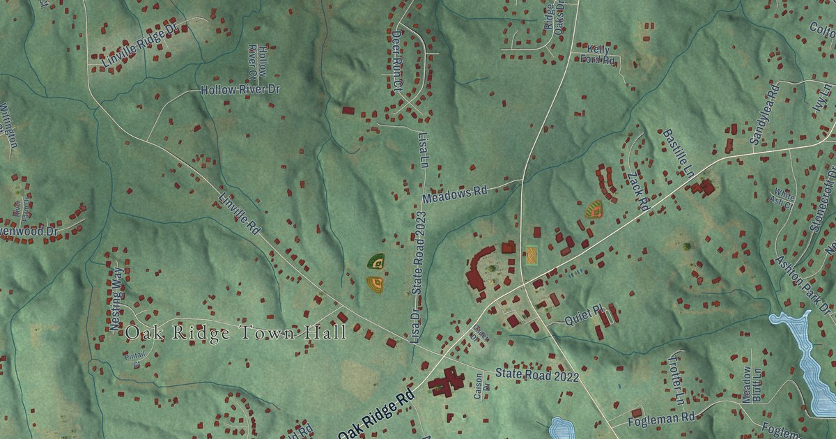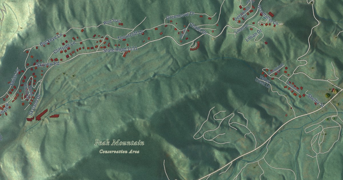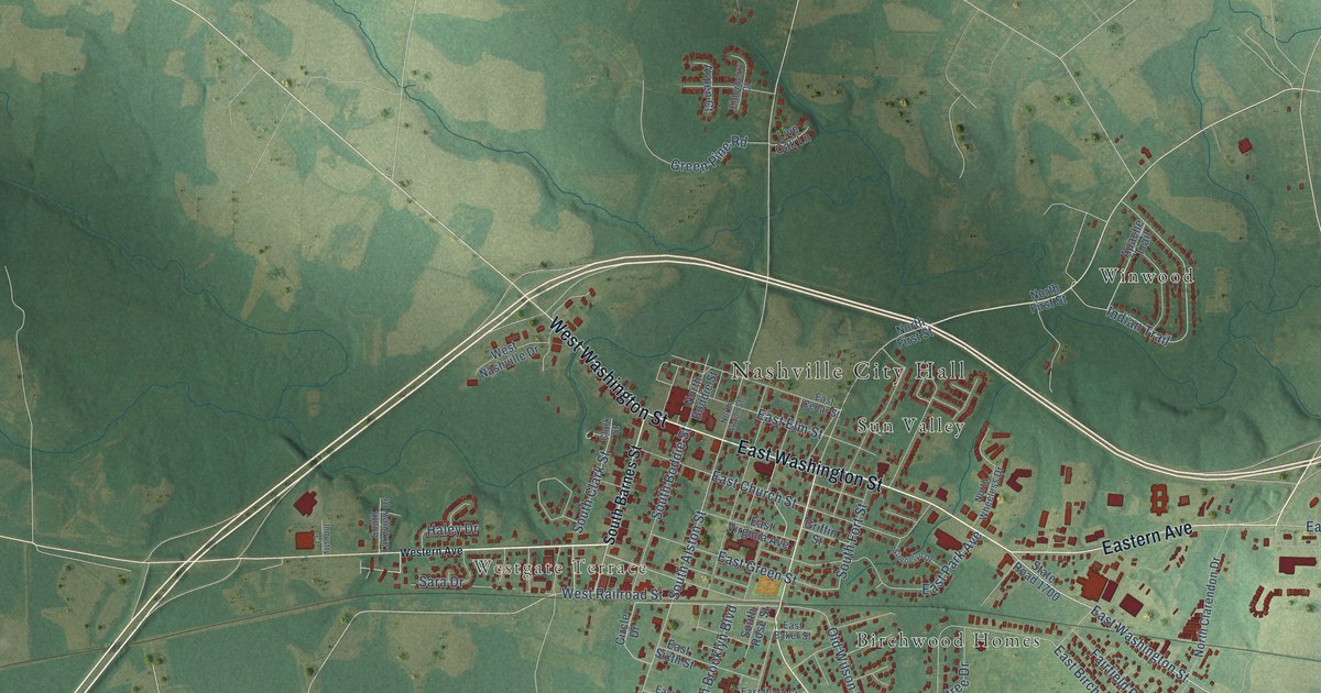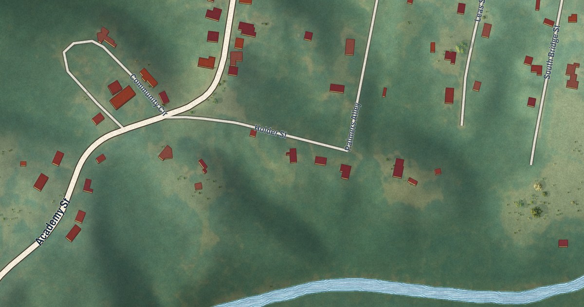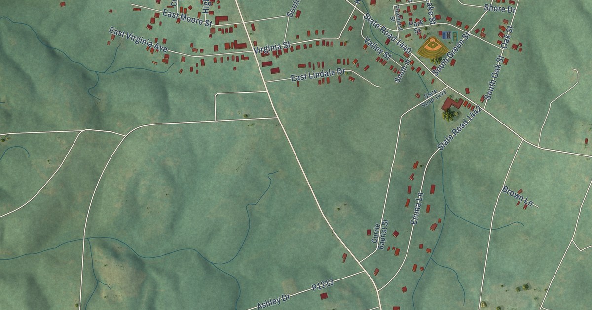
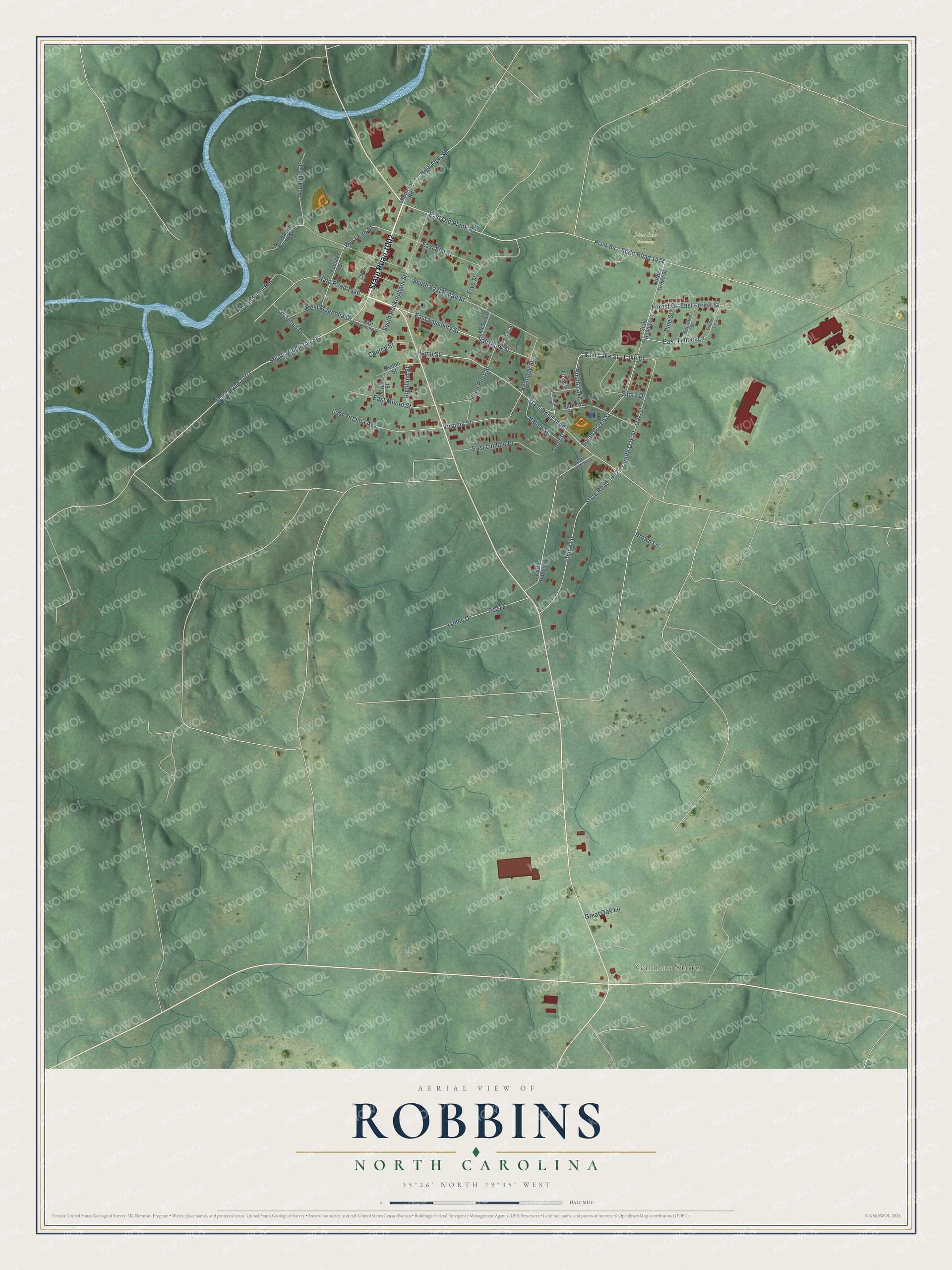
This beautifully detailed map of Robbins, North Carolina was created in 2026 using aerial imagery combined with modern topographical, census, street and landmark data. It's a modern aerial view of Robbins in Moore County, North Carolina, that combines modern data with a vintage aesthetic. The roads feature printed names, and if you look closely you can find your exact house accurately shown in its correct location.
Explore an aerial view of Robbins, North Carolina
On this map you'll find Garners Store, Pine Rest Cemetery, State Road 1002, South Middleton Street, East Old Plank Road, East Salisbury Street, East Lake Street, South Lake Street, High Falls Road, State Road 1440, Lake Drive, South Green Street, and more. Each red shape is a building, so zoom in on the preview and look for yours.
Robbins has a story worth telling. The record at dncr.nc.gov puts it this way: "Site of extensive gunsmithing operations in 18th and 19th centuries. The Kennedy family led in producing long rifles."
Robbins is a town in Moore County. The Census Bureau counted 1,168 people here in 2020.
Take a closer look at the Robbins map
Names on this map
These names are printed on this map.
Places: Garners Store and Pine Rest Cemetery.
Streets and roads: State Road 1002, South Middleton Street, East Old Plank Road, East Salisbury Street, East Lake Street, South Lake Street, High Falls Road, State Road 1440, Lake Drive, South Green Street, South Rockingham Street, Hemp Street.
More street names, A to Z
Ashley Drive, Branson Circle, Brown Lane, Church Street, Cornelius Drive, Cross Street, Currie Baptist Street, Dogwood Street, East Elm Street, East Forest Street, East Lindale Drive, East Magnolia Drive, East Moore Street, East Timber Lane, East Virginia Avenue, Emma Lane, Forest Drive, Fousher Street, Front Street, Frye Street, Great Oak Lane, Highland Street, Kennedy Street, McSwain Street, Melton Street, Middleton Road, Needham Drive, North Green Street, Northwest Broad Street, Oak Street, Park Street, Pinehurst Street, Pine Street, Plank Road, Ross Street, Salisbury Street, Shore Drive, Smith Street, South East Broad Street, South Oak Street, South Ross Street, State Road 1442, State Road 1443, State Road 1444, State Road 1446, State Road 1477, Timber Lane, Valley Street, Virginia Street, Water Plant Road, West Elm Street, West Magnolia Drive.
Created by KNOWOL in 2026. The buildings are small red shapes, the roads carry their printed names, and shaded relief shows the shape of the land. The title panel reads "AERIAL VIEW OF ROBBINS NORTH CAROLINA" with 35°26' NORTH 79°35' WEST.
It looks right in a kitchen, an office or a den, and it's a gift for anyone who grew up in Robbins or moved away. Open the preview and find your street. See sizes and frames for the Robbins map.