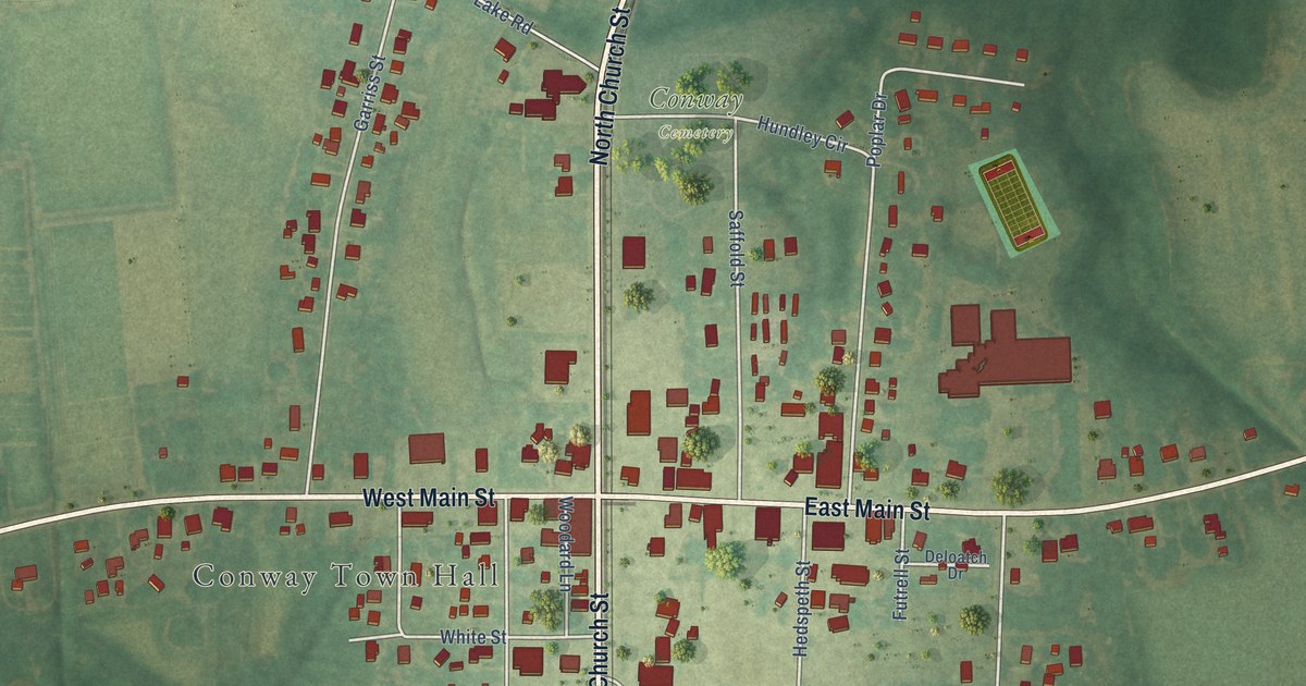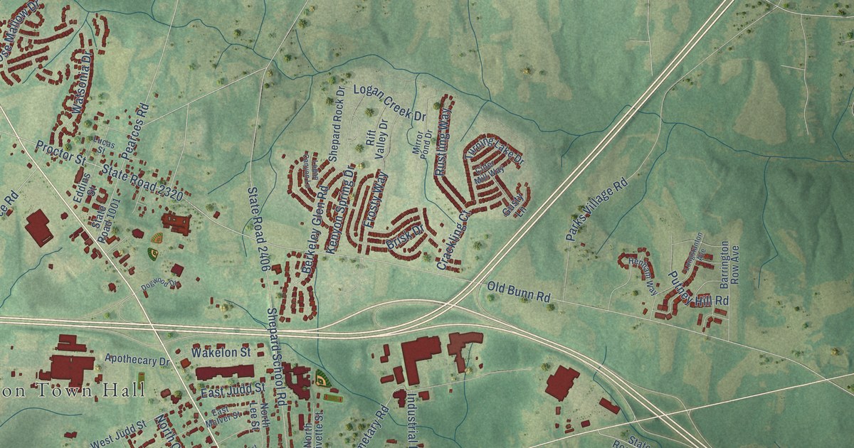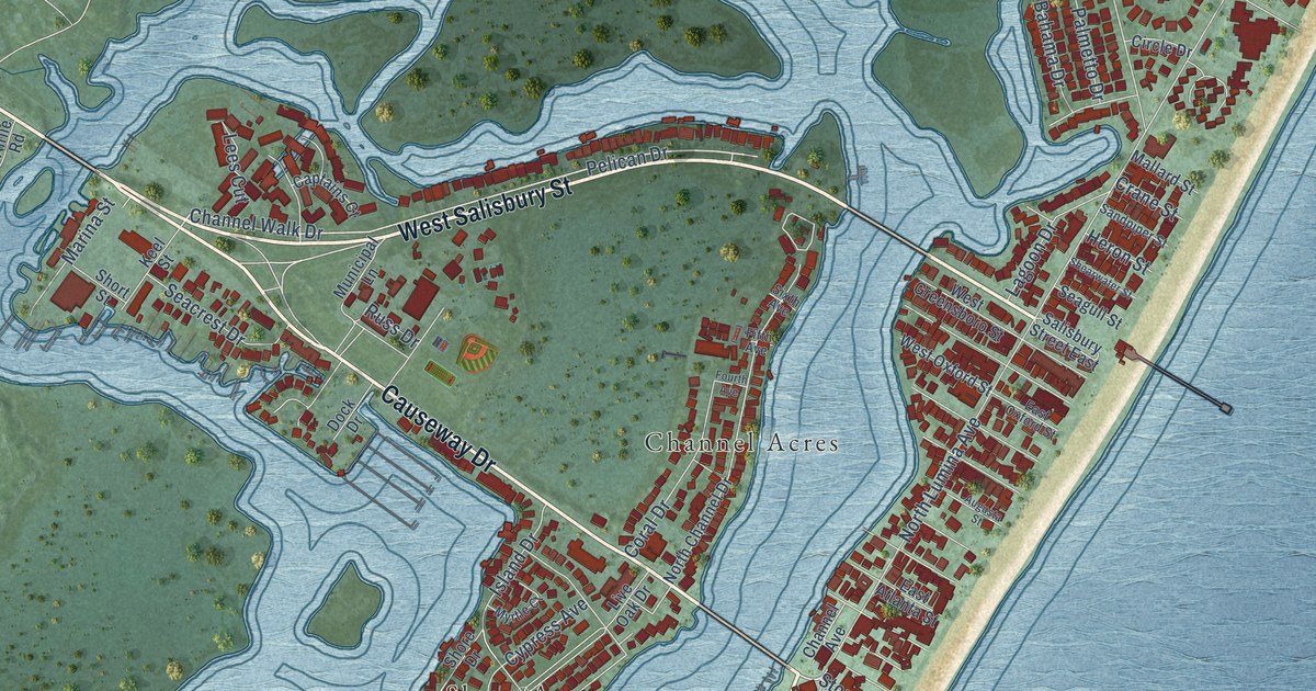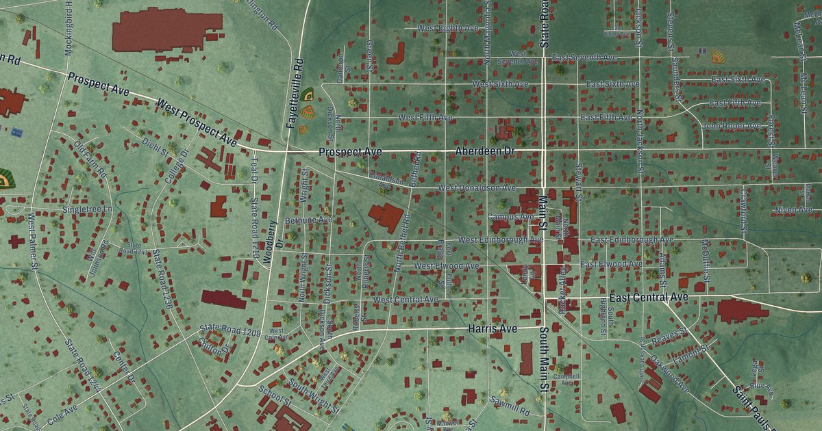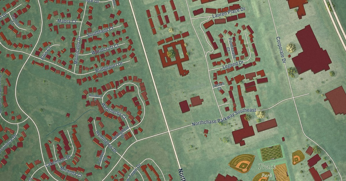
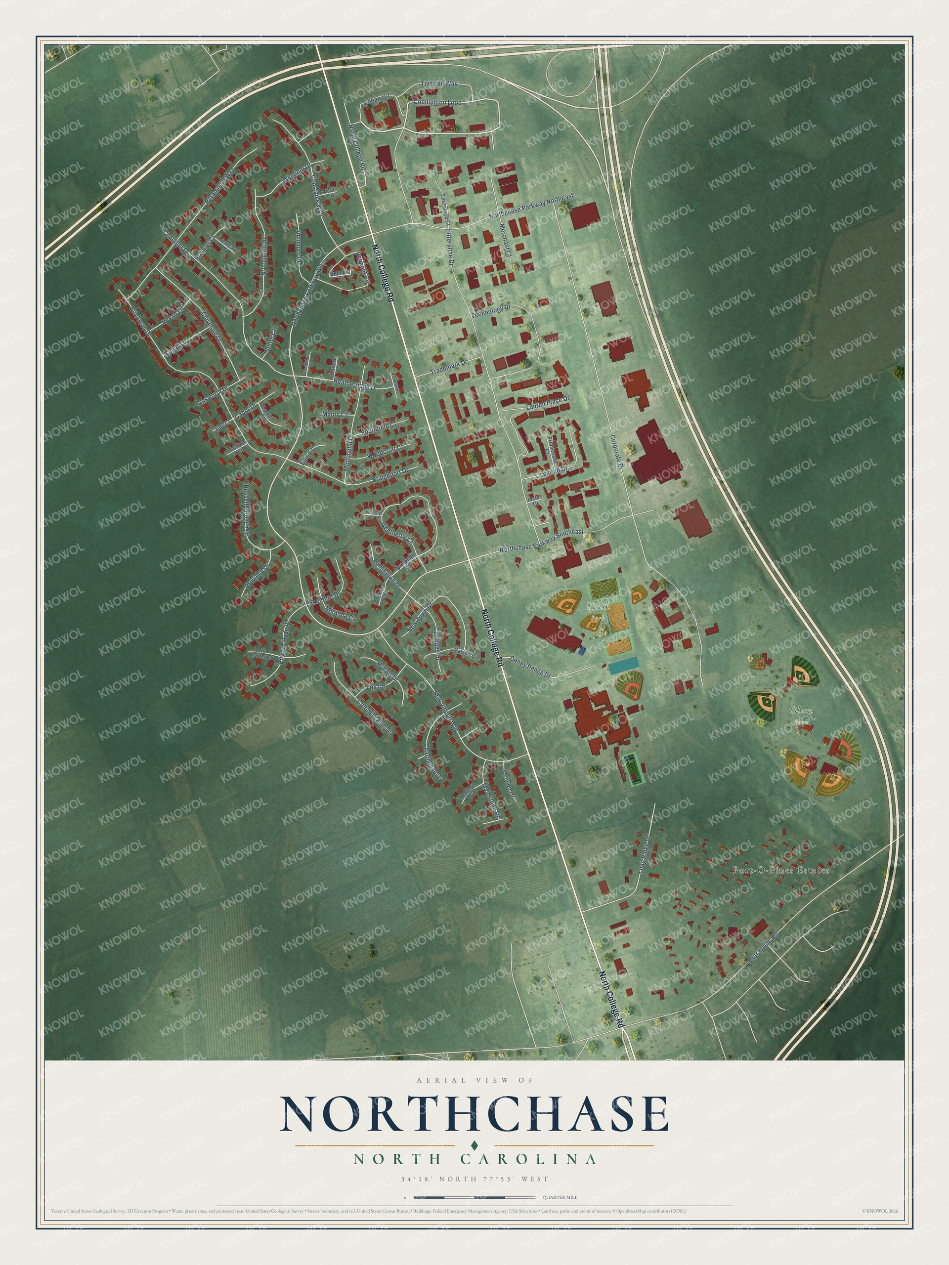
This beautifully detailed map of Northchase, North Carolina was created in 2026 using aerial imagery combined with modern topographical, census, street and landmark data. It's a modern aerial view of Northchase in New Hanover County, North Carolina, that combines modern data with a vintage aesthetic. The roads feature printed names, and if you look closely you can find your exact house accurately shown in its correct location.
Explore an aerial view of Northchase, North Carolina
On this map you'll find Port-O-Pines Estates, Olsen Park, Trask Park, North College Road, Cohan Circle, Coddington Loop, Northchase Parkway West, Corporate Drive, Murrayville Road, Enterprise Drive, Brinkman Drive, New Village Way, and more. Each red shape is a building, so zoom in on the preview and look for yours.
Northchase is a community in New Hanover County. The Census Bureau counted 3,842 people here in 2020. Northchase sits about 2 miles northwest of Murraysville, 2 miles southeast of Skippers Corner and 3 miles north of Kings Grant. The map prints the town name in its title panel, with the coordinates below it.
Take a closer look at the Northchase map
Names on this map
These names are printed on this map.
Places: Port-O-Pines Estates, Olsen Park and Trask Park.
Streets and roads: North College Road, Cohan Circle, Coddington Loop, Northchase Parkway West, Corporate Drive, Murrayville Road, Enterprise Drive, Brinkman Drive, New Village Way, Northchase Parkway Northeast, Chandler Drive, Paramount Way.
More street names, A to Z
Ammons Drive, Answorth Drive, Ashbourne Court, Belmont Circle, Belmont Court, Binford Court, Bridgeport Drive, Brucemont Drive, Cabot Court, Cabot Drive, Caesar Court, Caliber Court, Carthage Drive, Charthouse Drive, Claymore Drive, Colonel Lamb Drive, Constable Way, Dalton Court, Damon Court, Danny Pence Drive, Edward Hyde Place, Ellis Court, Enterprise Court, Hargate Court, Heatherridge Drive, Henson Drive, Hobart Drive, John Yeamen Drive, Justus Court, Lagar Lane, Lakemoor Drive, Lauren Place Drive, Legend Drive, Long Ridge Drive, Mabry Court, Maidstone Drive, Merchant Court, Miranda Court, Monticello Drive, Mossberg Court, Nevan Lane, New Town Drive, Northchase Parkway Southeast, O'Neal Place, Premier Court, Promenade Court, Province Drive, Queensbury Court, Remington Drive, Russellborough Drive, Southfield Court, Springfield Drive, Tandem Court, Technology Drive, Tiverton Way, Trademark Drive, Vicar Court, Watson Drive, Weatherby Court, Woodcroft Court, Wynfield Drive.
See it on a wall
The Northchase map as a framed print. Swipe for more.


Created by KNOWOL in 2026. The buildings are small red shapes, the roads carry their printed names, and shaded relief shows the shape of the land. The title panel reads "AERIAL VIEW OF NORTHCHASE, NORTH CAROLINA" with 34°18' NORTH 77°53' WEST.
Hang it in the hallway, the office or the cabin, or give it to someone who left Northchase and still calls it home. Open the preview and look for a street you know. See sizes and frames for the Northchase map.