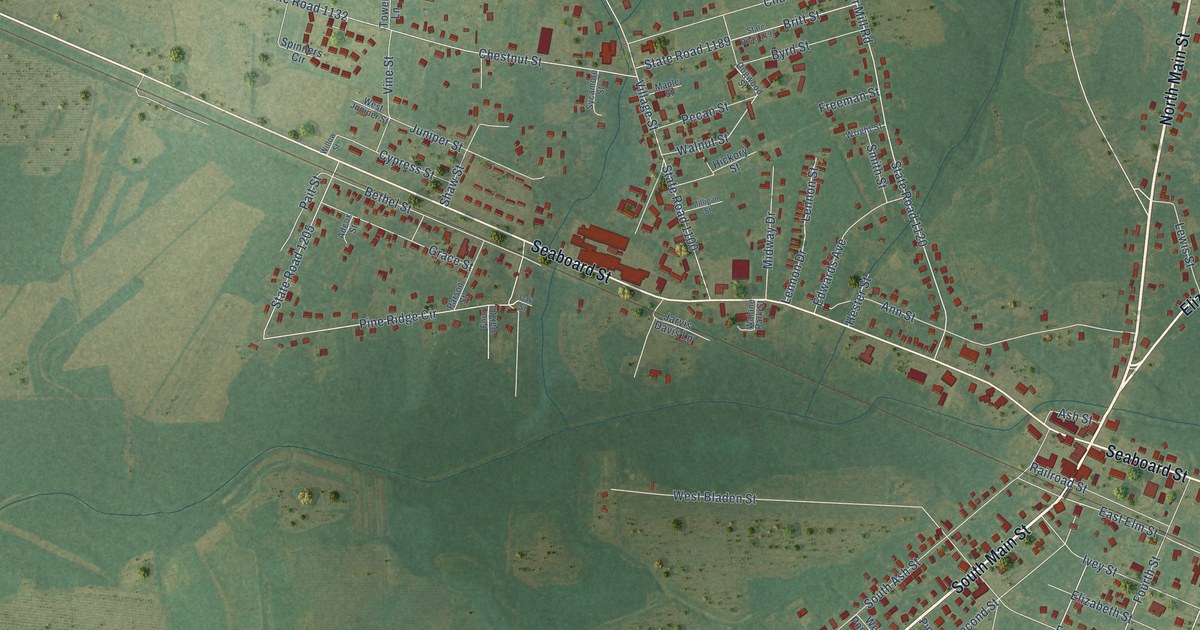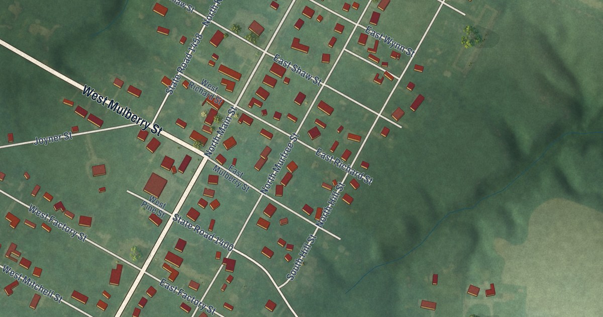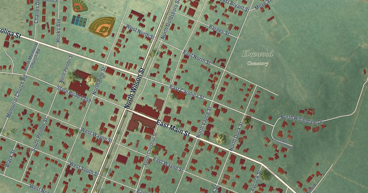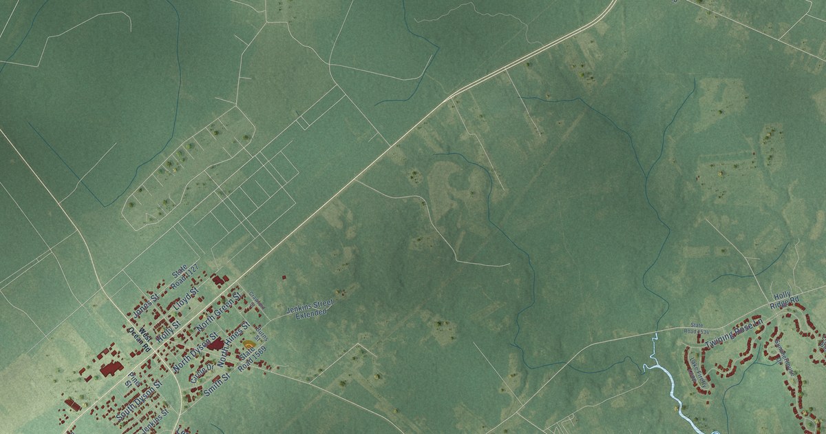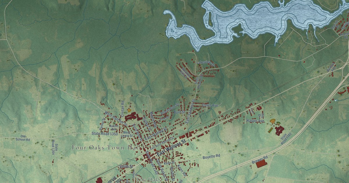
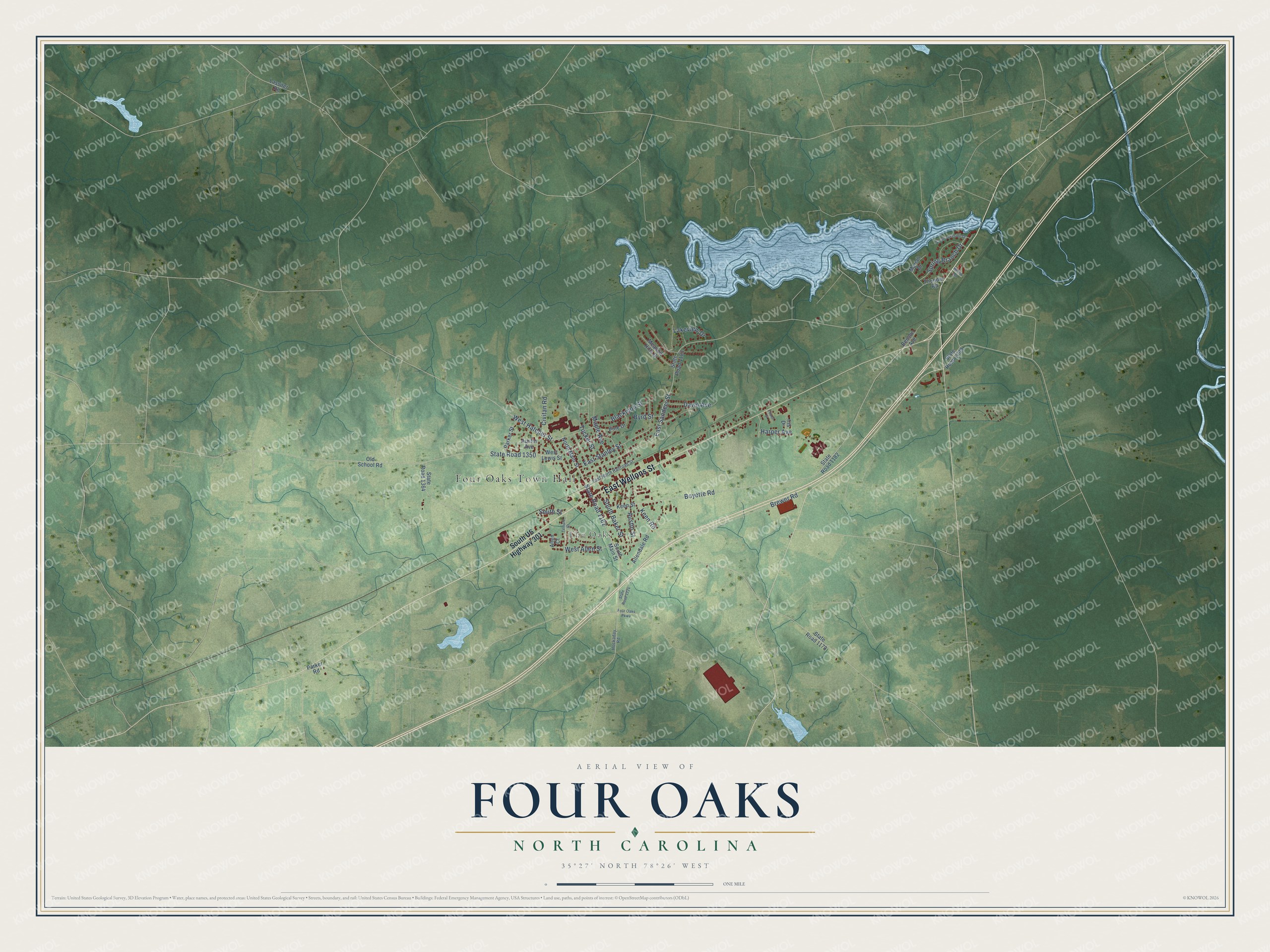
This beautifully detailed map of Four Oaks, North Carolina was created in 2026 using aerial imagery combined with modern topographical, census, street and landmark data. It's a modern aerial view of Four Oaks in Johnston County, North Carolina, that combines modern data with a vintage aesthetic. The roads feature printed names, and if you look closely you can find your exact house accurately shown in its correct location.
Explore an aerial view of Four Oaks, North Carolina
On this map you'll find Four Oaks Town Hall, The Oaks, East Wellons Street, West Hatcher Street, Smith Street, West Allen Street, East Stanley Street, Boyette Road, East Sanders Street, State Road 1162, Keen Road, State Road 1350, and more. Each red shape is a building, so zoom in on the preview and look for yours.
Here is a piece of Four Oaks history, in the words of the record. The North Carolina Gazetteer puts it this way: "Four Oaks town in W Johnston County. Settled about 1885; inc. 1889. Named for four oaks growing from the stump of a tree that had been cut down in an opossum hunt in the yard of K. L. Barbour, first to build a house there."
Four Oaks is a town in Johnston County. The Census Bureau counted 2,158 people here in 2020.
Take a closer look at the Four Oaks map
Names on this map
These names are printed on this map.
Places: Four Oaks Town Hall and The Oaks.
Streets and roads: East Wellons Street, West Hatcher Street, Smith Street, West Allen Street, East Stanley Street, Boyette Road, East Sanders Street, State Road 1162, Keen Road, State Road 1350, Brewer Road, Tucker Street.
More street names, A to Z
Allen Court, Allendale Road, Austin Avenue, Austin Street, Benson Avenue, Blackmon Street, Byrd Street, Civitan Road, Dawn Avenue, East North Railroad Street, Evans Street, Four Oaks Parkway, Harper Avenue, Hockaday Road, Iris Drive, Keen Street, Lakeview Drive, Lassiter Road, Maple Avenue, Mariah Drive, Meadow Hills Drive, North Main Street, Old School Road, Parker Road, Parker Street, Pine Drive, South Baker Street, South Lakeside Drive, South Main Street, South US Highway 301, Spring Branch Drive, State Road 1009, State Road 1178, State Road 1182, State Road 1183, State Road 1224, State Road 1364, Temple Street, Thunder Road, West Lewis Street, Willow Road.
Created by KNOWOL in 2026. The buildings are small red shapes, the roads carry their printed names, and shaded relief shows the shape of the land. The title panel reads "AERIAL VIEW OF FOUR OAKS NORTH CAROLINA" with 35°27' NORTH 78°26' WEST.
It suits a den, a classroom or a front hall, and it makes a gift for anyone with Four Oaks roots. Open the preview and find the block you know. See sizes and frames for the Four Oaks map.