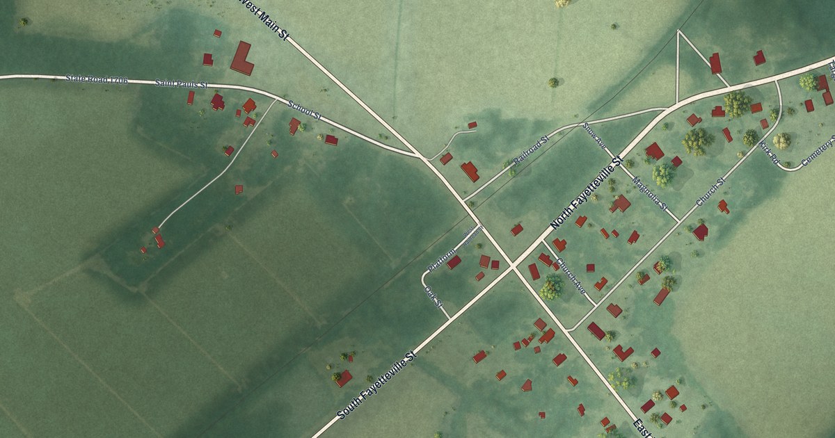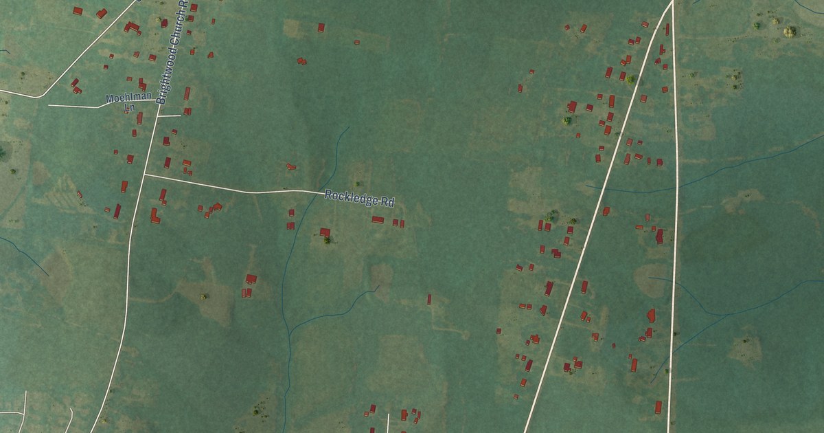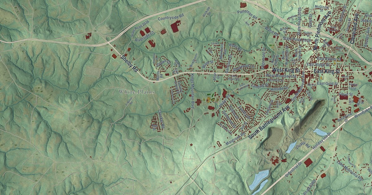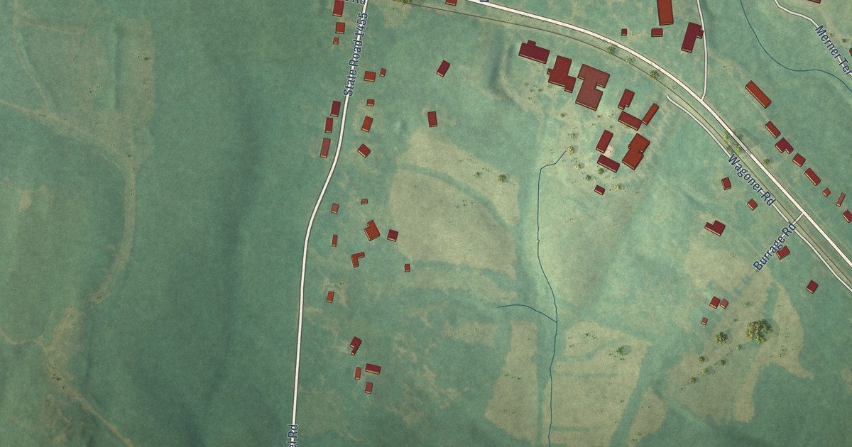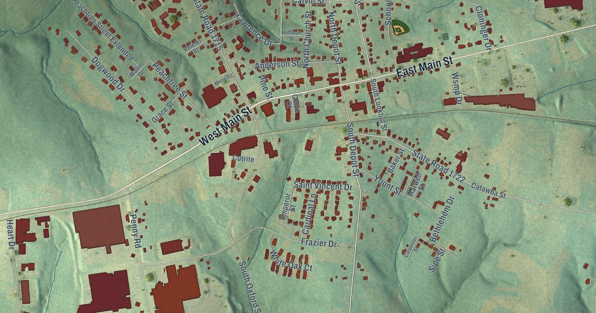
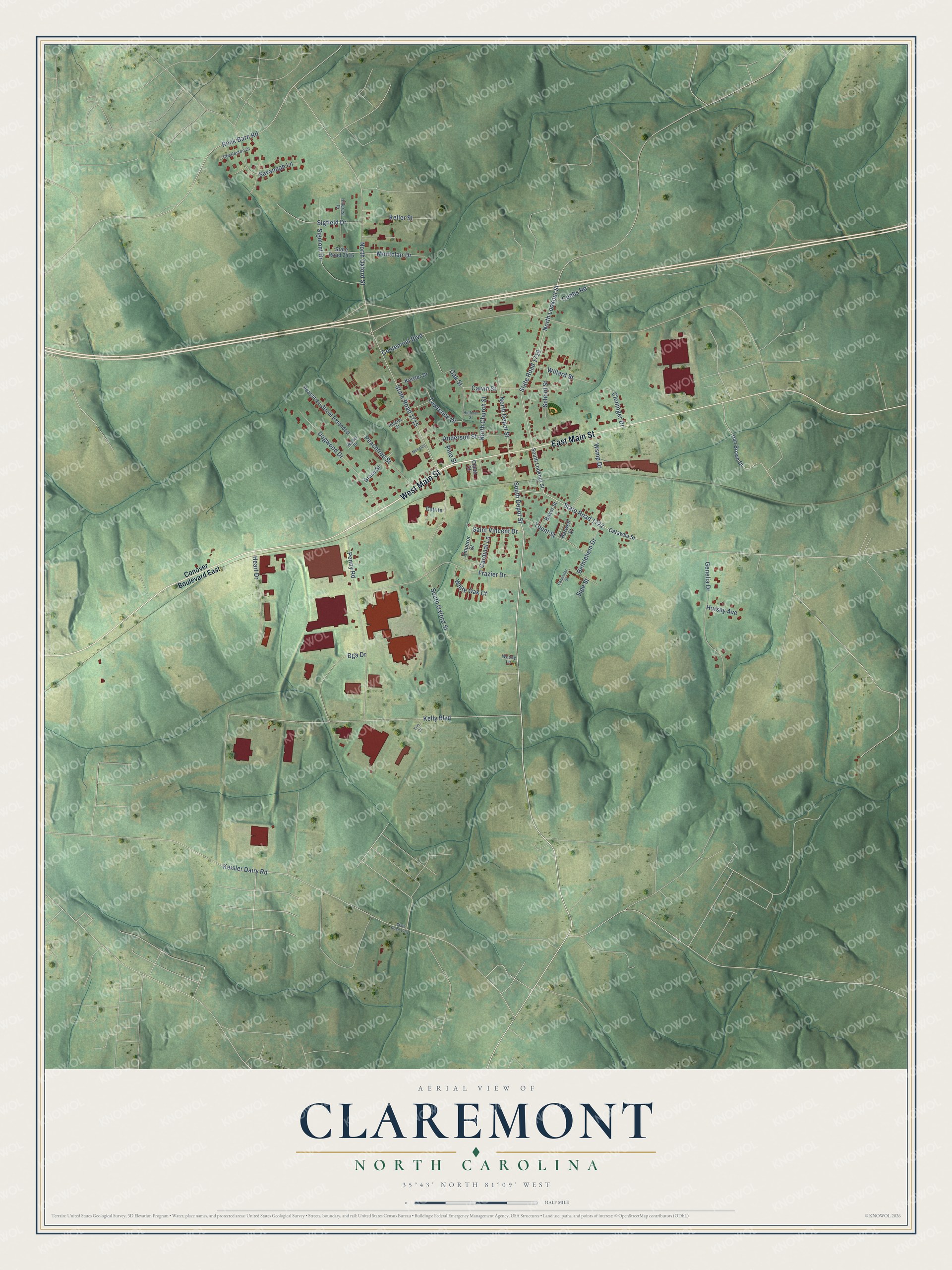
This beautifully detailed map of Claremont, North Carolina was created in 2026 using aerial imagery combined with modern topographical, census, street and landmark data. It's a modern aerial view of Claremont in Catawba County, North Carolina, that combines modern data with a vintage aesthetic. The roads feature printed names, and if you look closely you can find your exact house accurately shown in its correct location.
Explore an aerial view of Claremont, North Carolina
On this map you'll find West Main Street, East Main Street, State Road 1722, South Depot Street, Oak Street, North Lookout Street, Centennial Boulevard, North Oxford Street, State Road 1715, Kelly Boulevard, State Road 1716, Penny Road, and more. Each red shape is a building, so zoom in on the preview and look for yours.
Every town has a first chapter, and Claremont is no exception. The North Carolina Gazetteer puts it this way: "Claremont town in NE Catawba County. The earliest name was Charlotte Crossing; later Setzer's Depot. Changed to Claremont in 1892. Inc. 1893. Alt. 969. Named for Clare Sigmon, daughter of Jones Sigmon, an early settler."
Claremont is a city in Catawba County. The Census Bureau counted 1,692 people here in 2020.
Take a closer look at the Claremont map
Names on this map
These names are printed on this map.
Streets and roads: West Main Street, East Main Street, State Road 1722, South Depot Street, Oak Street, North Lookout Street, Centennial Boulevard, North Oxford Street, State Road 1715, Kelly Boulevard, State Road 1716, Penny Road.
More street names, A to Z
Anderson Street, Baker Street, Bethlehem Drive, Bga Drive, Calvin Street, Cardinal Lane, Carpenter Street, Catawba Street, Charleston Court, Chloe Court, Cloninger Drive, Cobbs Road, Conover Boulevard East, Cutrite, Dan Brown Drive, Dogwood Drive, Emperor Street, Frazier Drive, Genelia Drive, Grace Street, Harwell Street, Heart Drive, Hillcrest Drive, Huffman Street, Hursey Avenue, Keisler Dairy Road, Keisler Drive, Keller Street, Lawrence Drive, Monclair, Montclair Drive, North Church Street, North Depot Street, Peachtree Street, Peachtree Street Extended, Phiefer Street, Pine Street, Rock Barn Road, Saint Vincent Drive, Savannah Lane, School Street, Sigfield Drive, Sigmont Drive, Sipe Street, South Lookout Street, South Oxford Street, State Road 1731, State Road 2416, Trio Court, Walter Drive, White Oak Court, Willard Street, Woody Lane, Wsmp Drive, Yount Street.
Created by KNOWOL in 2026. The buildings are small red shapes, the roads carry their printed names, and shaded relief shows the shape of the land. The title panel reads "AERIAL VIEW OF CLAREMONT NORTH CAROLINA" with 35°43' NORTH 81°09' WEST.
Hang it in the hallway, the office or the cabin, or give it to someone who left Claremont and still calls it home. Open the preview and look for a street you know. See sizes and frames for the Claremont map.