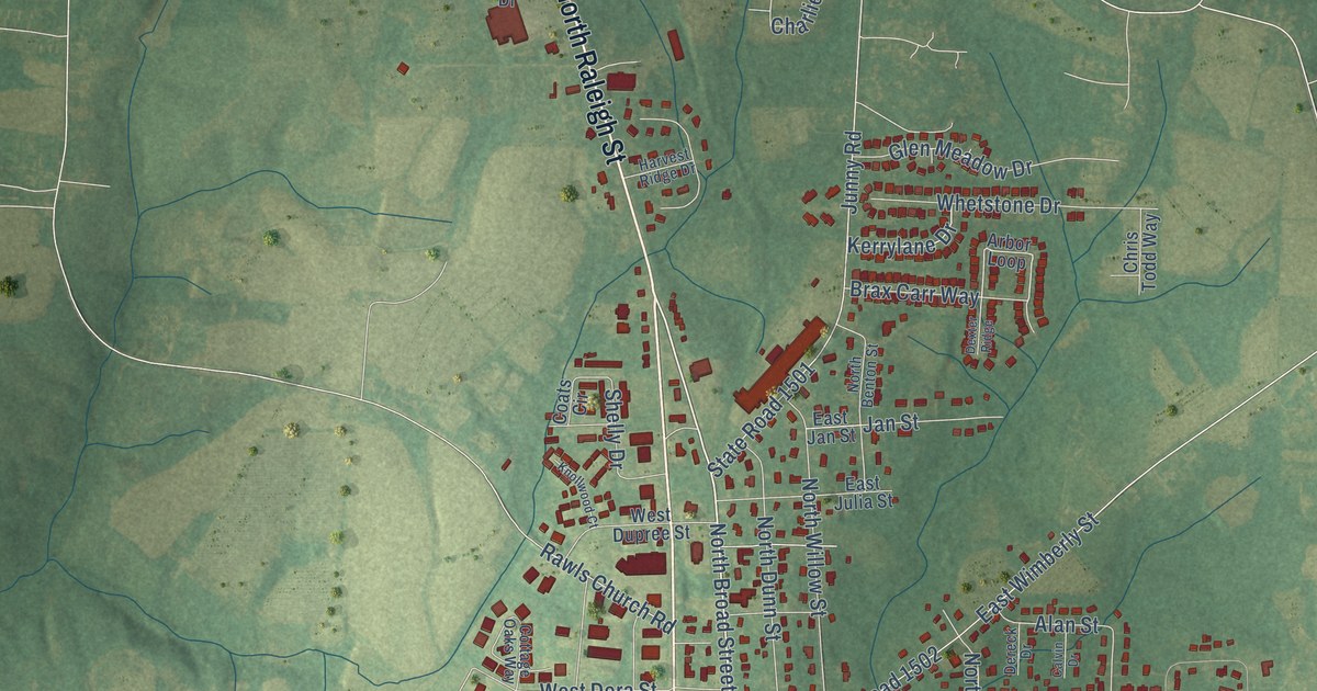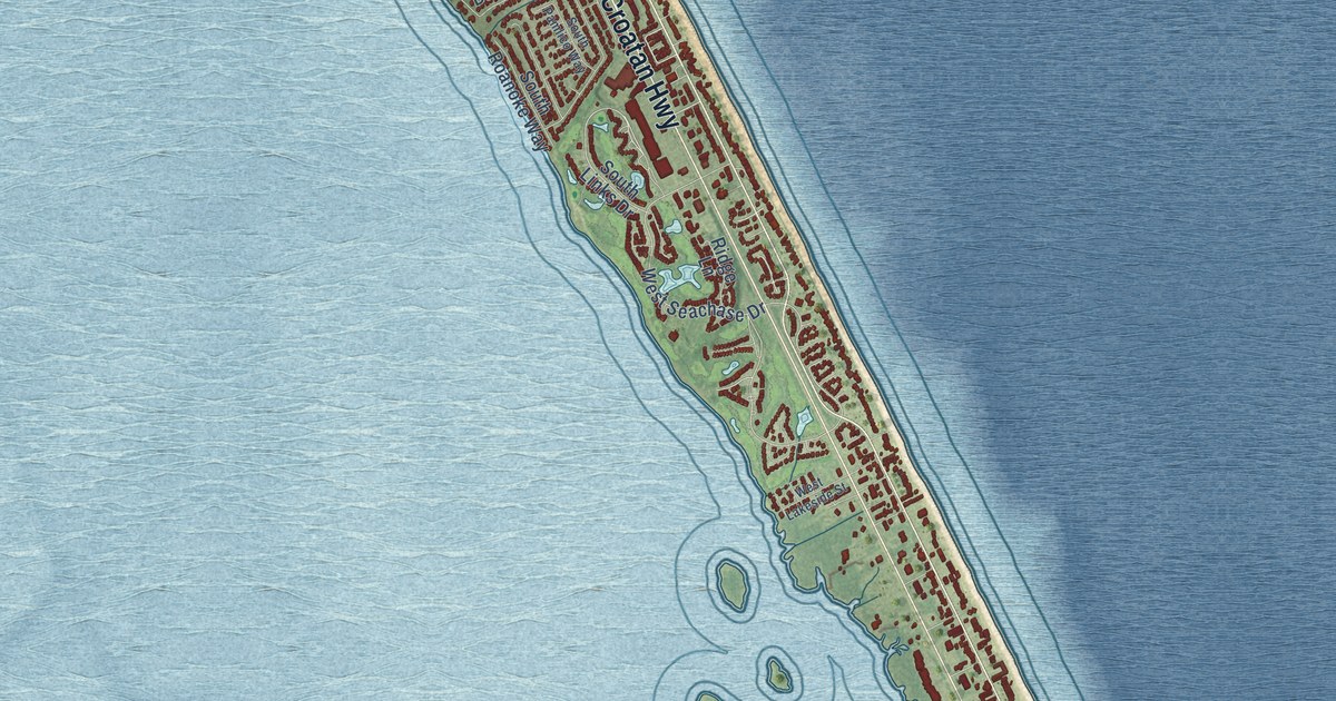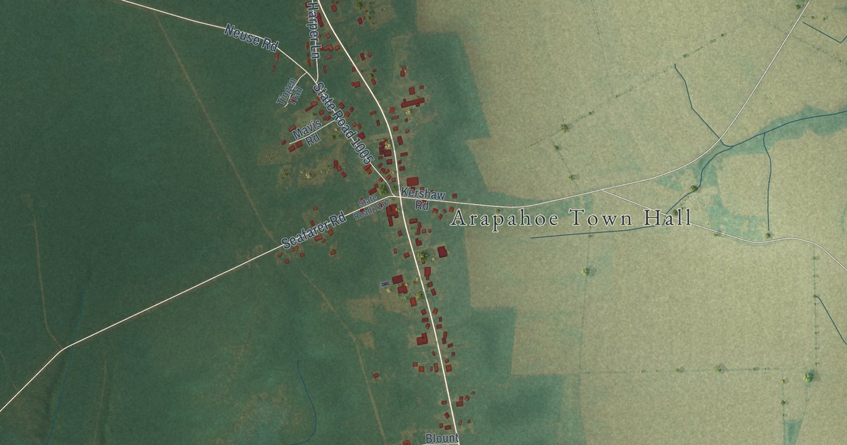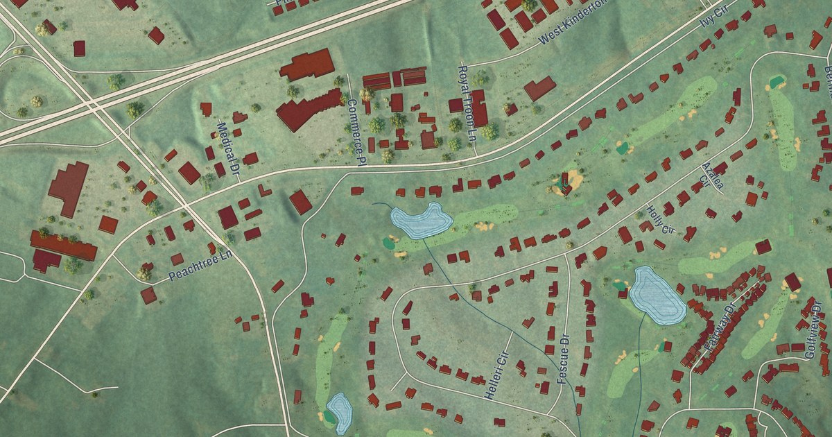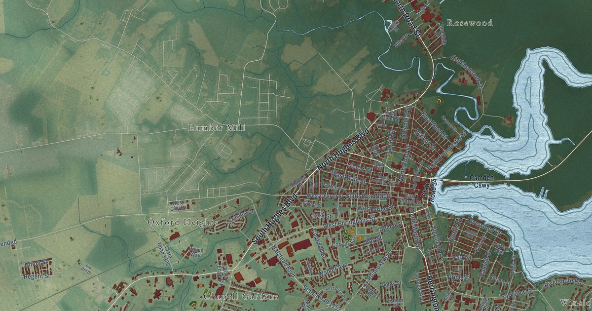
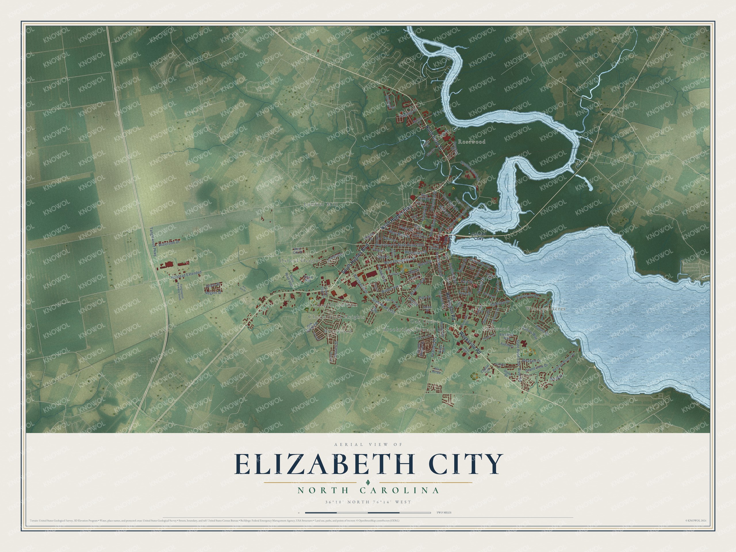
This beautifully detailed map of Elizabeth City, North Carolina was created in 2026 using aerial imagery combined with modern topographical, census, street and landmark data. It's a modern aerial view of Elizabeth City in Pasquotank County, North Carolina, that combines modern data with a vintage aesthetic. The roads feature printed names, and if you look closely you can find your exact house accurately shown in its correct location.
Explore an aerial view of Elizabeth City, North Carolina
On this map you'll find Winslow Acres, Rosewood, Edgewood, Briarwood, Brookridge Terrace, Chapell Gardens, Chesterfield Heights, Lumber Mill, Oak Grove, Oxford Heights, South Hughes Boulevard, Herrington Road, and more. Each red shape is a building, so zoom in on the preview and look for yours.
Every town has a first chapter, and Elizabeth City is no exception. The record at ncpedia.org puts it this way: "Elizabeth City State University in Elizabeth City was founded in 1891 as the Normal and Industrial School when the General Assembly passed a bill introduced by Hugh Cale, an African American legislator from Pasquotank County ."
Elizabeth City is a city in Pasquotank County. The Census Bureau counted 18,631 people here in 2020.
Take a closer look at the Elizabeth City map
Names on this map
These names are printed on this map.
Places: Winslow Acres, Rosewood, Edgewood, Briarwood, Brookridge Terrace, Chapell Gardens, Chesterfield Heights, Lumber Mill, Oak Grove and Oxford Heights.
Streets and roads: South Hughes Boulevard, Herrington Road, Weeksville Road, North Road Street, North Hughes Boulevard, Halstead Extended, Halstead Boulevard, State Road 1152, West Ehringhaus Street, Jessica Street, Walker Avenue, Parkview Drive.
More street names, A to Z
Asbury Drive, Aydlett Drive, Barney Lane, Baxter Street, Bell Street, Bias Street, Brookridge Drive, Byrd Street, Camden Causeway, Capital Trce, Cardwell Street, Cedar Street, Charles Street, Coa Drive, College Street, Corsair Circle, Crescent Drive, Debry Street, East Church Street, East Rich Boulevard, East Ward Street, Eastway Drive, Eleuthera Way, Emily Street, Fairfax Avenue, Flora Street, Forrest Skipper Drive, Golfclub Drive, Gosnold Avenue, Grand View Drive, Greenleaf Street, Grice Street, Harding Street, Harney Street, Harrell Street, Hastings Lane, Hines Avenue, Hoffler Street, Hopkins Drive, Horner Street, Hull Drive, Hunter Street, Ibis Way, Ida Acres, Jones Avenue, Kitty Hawk Lane, Knobbs Creek Drive, Kramer Street, Kristin Street, Laurel Avenue, Lexington Drive, Mac Drive, Maple Street, North Martin Street, North Poindexter Street, Oak Grove Avenue, Oak Stump Road, Park Drive, Park Street, Peartree Road, Pelican Pointe Drive, Penny Drive, Pleasant Drive, Price Street, Pro Gro Drive, Raleigh Street, Raven Way, Ray Street, Regent Street, River Road, Rivers Edge Circle, Rivershore Road, Riverside Avenue, Roanoke Avenue, Rosedale Drive, Roundtree Drive, Sailors Way, Salem Drive, Southern Avenue, South Griffin Street, South Martin Street, Speed Street, Springvale Street, State Road 34, State Road 1164, State Road 1306, State Road 1308, Stone Street, Tanglewood Parkway, Tanglewood Parkway South, Union Street, University Drive, Villa Drive, Walnut Street, Walston Street, Waterside Drive, West Broad Street, West Church Street, West City Drive, West Colonial Avenue, West Grice Street, West Main Street, Wood Street, York Street.
Created by KNOWOL in 2026. The buildings are small red shapes, the roads carry their printed names, and shaded relief shows the shape of the land. The title panel reads "AERIAL VIEW OF ELIZABETH CITY NORTH CAROLINA" with 36°18' NORTH 76°14' WEST.
Hang it in the hallway, the office or the cabin, or give it to someone who left Elizabeth City and still calls it home. Open the preview and look for a street you know. See sizes and frames for the Elizabeth City map.