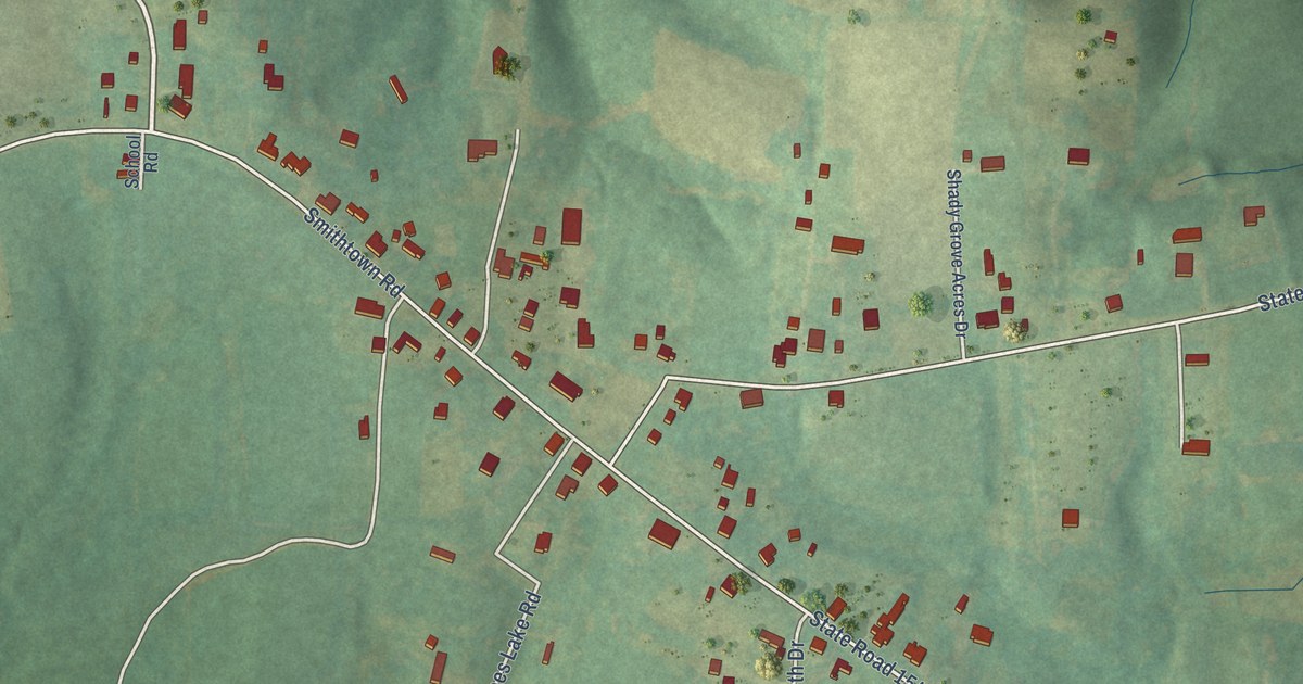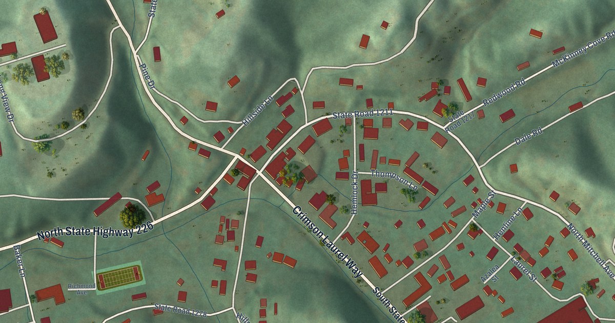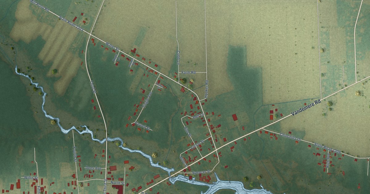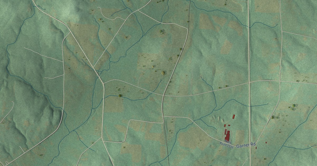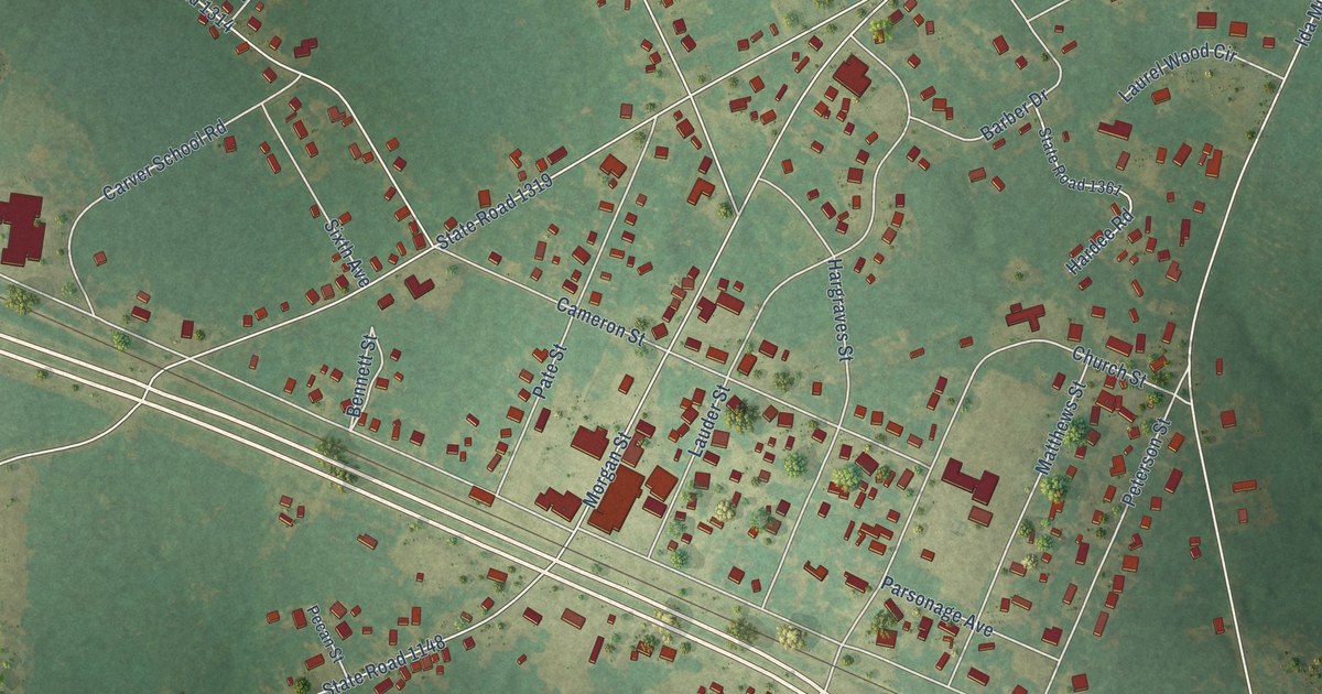
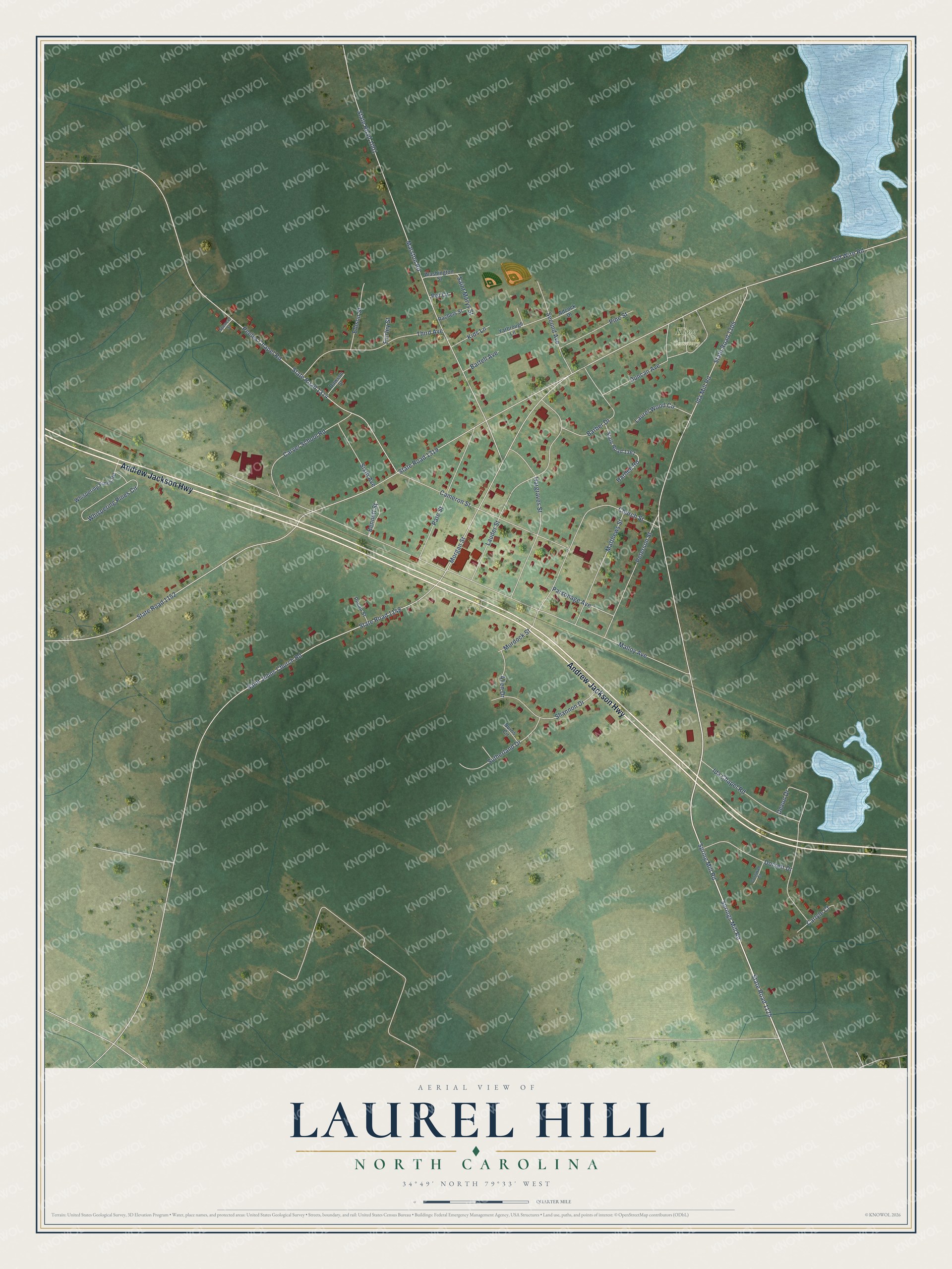
This beautifully detailed map of Laurel Hill, North Carolina was created in 2026 using aerial imagery combined with modern topographical, census, street and landmark data. It's a modern aerial view of Laurel Hill in Scotland County, North Carolina, that combines modern data with a vintage aesthetic. The roads feature printed names, and if you look closely you can find your exact house accurately shown in its correct location.
Explore an aerial view of Laurel Hill, North Carolina
On this map you'll find King Cemetery, Andrew Jackson Highway, State Road 1125, Springs Mill Road, Spring Mill Road, Old Wire Road, State Road 1319, State Road 1148, Ida Mill Road, Malloy Avenue, State Road 1305, Marston Road, and more. Each red shape is a building, so zoom in on the preview and look for yours.
Laurel Hill is a community in Scotland County. The Census Bureau counted 1,121 people here in 2020. Laurel Hill sits about 3 miles east of Old Hundred, 5 miles northeast of Gibson and 5 miles northwest of Laurinburg. The map prints the town name in its title panel, with the coordinates below it.
Take a closer look at the Laurel Hill map
Names on this map
These names are printed on this map.
Places: King Cemetery.
Streets and roads: Andrew Jackson Highway, State Road 1125, Springs Mill Road, Spring Mill Road, Old Wire Road, State Road 1319, State Road 1148, Ida Mill Road, Malloy Avenue, State Road 1305, Marston Road, State Road 1001.
More street names, A to Z
Adcock Drive, Allen Drive, Barber Drive, Bartell Avenue, Bennett Street, Burns Circle, Cameron Street, Carlyle Court, Carver School Road, Church Street, Cornwall Court, Dawson Street, Devon Drive, Dorsett Drive, Duncan Avenue, Ellison Street, Fairley Street, Hardee Road, Hargraves Street, Ida Chapel Road, Kids Lane, Lauder Street, Laurel Wood Circle, Matthews Street, Morgan Street, Murdock Street, Parsonage Avenue, Pate Street, Pecan Street, Peeles Chapel Road, Peterson Street, Pet Lane, Pine Street, Rachels Street, Saint Johns Church Road, Saint Marys Street, Second Avenue, Shannon Drive, Sixth Avenue, Spencer Street, State Road 1152, State Road 1314, State Road 1361, Sutherland Drive, Third Avenue, Washington Street, Whispering Pines Circle, Whispering Pines Road, Yarbrough Lane.
See it on a wall
The Laurel Hill map as a framed print. Swipe for more.


Created by KNOWOL in 2026. The buildings are small red shapes, the roads carry their printed names, and shaded relief shows the shape of the land. The title panel reads "AERIAL VIEW OF LAUREL HILL, NORTH CAROLINA" with 34°49' NORTH 79°33' WEST.
Hang it in the hallway, the office or the cabin, or give it to someone who left Laurel Hill and still calls it home. Open the preview and look for a street you know. See sizes and frames for the Laurel Hill map.