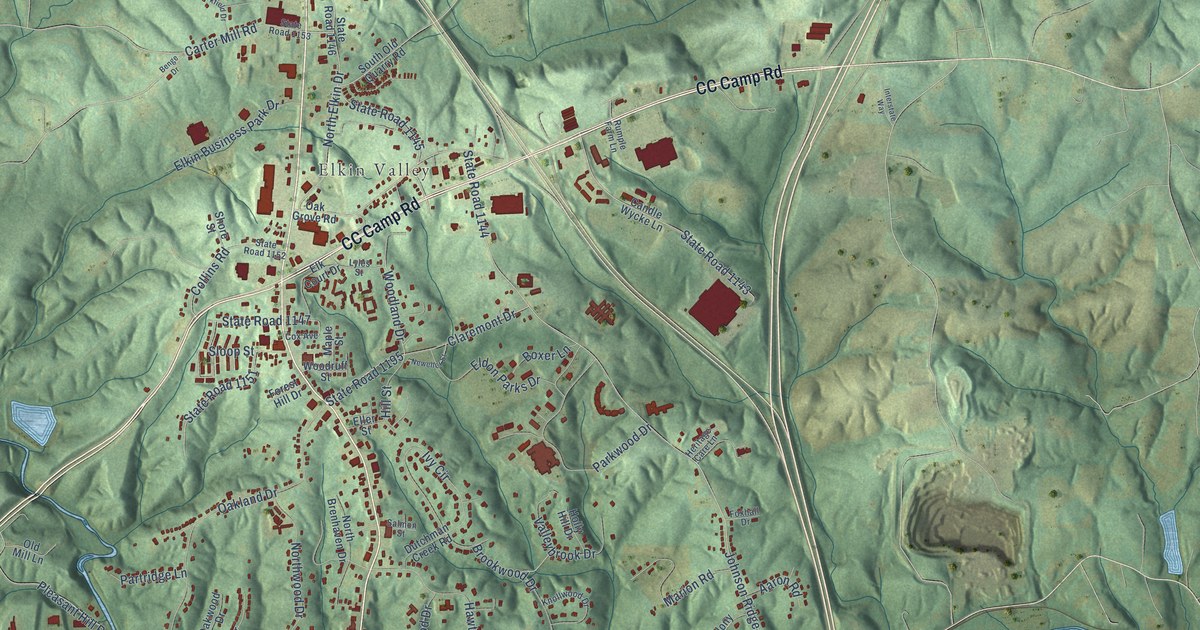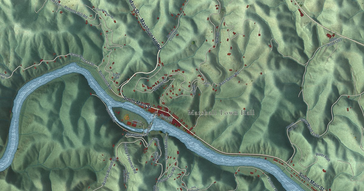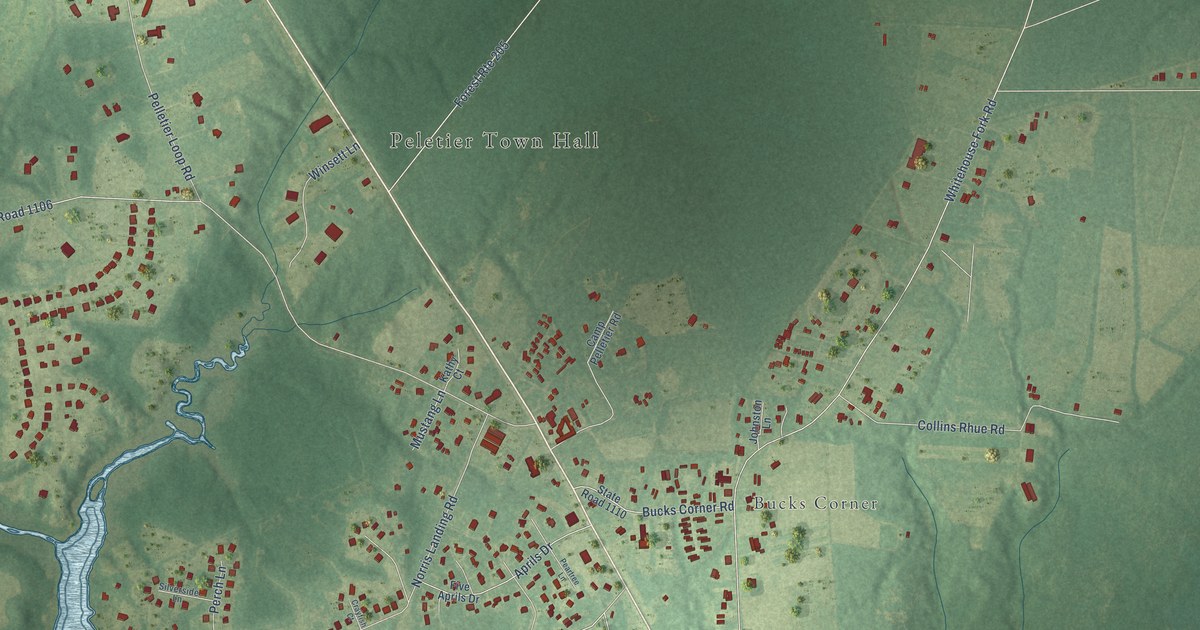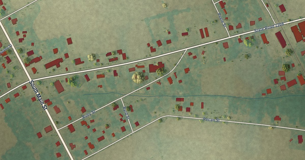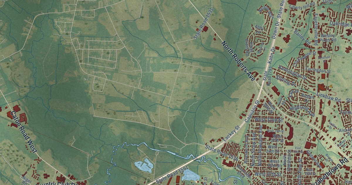
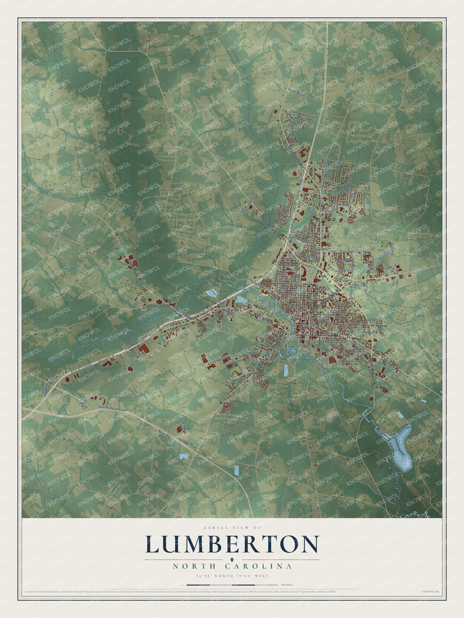
This beautifully detailed map of Lumberton, North Carolina was created in 2026 using aerial imagery combined with modern topographical, census, street and landmark data. It's a modern aerial view of Lumberton in Robeson County, North Carolina, that combines modern data with a vintage aesthetic. The roads feature printed names, and if you look closely you can find your exact house accurately shown in its correct location.
Explore an aerial view of Lumberton, North Carolina
On this map you'll find East Lumberton, East Elizabethtown Road, West Fifth Street, East Second Street, East Fifth Street, Fayetteville Road, North Roberts Avenue, Martin Luther King Junior Drive, South Roberts Avenue, Caton Road West, Country Club Drive, State Road 2499, and more. Each red shape is a building, so zoom in on the preview and look for yours.
Every town has a first chapter, and Lumberton is no exception. The record at dncr.nc.gov puts it this way: "Four years later the group had laid the groundwork for the school in Lumberton with the aim to teach reading, writing, and knowledge of the arts."
Lumberton is a city in Robeson County. The Census Bureau counted 19,025 people here in 2020.
Take a closer look at the Lumberton map
Names on this map
These names are printed on this map.
Places: East Lumberton.
Streets and roads: East Elizabethtown Road, West Fifth Street, East Second Street, East Fifth Street, Fayetteville Road, North Roberts Avenue, Martin Luther King Junior Drive, South Roberts Avenue, Caton Road West, Country Club Drive, State Road 2499, East Tenth Street.
More street names, A to Z
Abby Lane, Airport Boulevard, Alexander Street, Allen Street, Amberleaf Drive, Arnette Street, Asbury Drive, Azalea Drive, Bailey Road, Bee Gee Road, Berkley Lane, Birch Street, Booker Street, Branch Street, Bullard Street, Camellia Lane, Canal Street, Capuano Street, Carthage Road, Carver Street, Case Street, Caton Road, Chavis Street, Commerce Avenue, Constantine Drive, Contempora Drive, Coree Street, Cox Road, Crandlemire Road, Cricklewood Street, Dawn Drive, Dresden Avenue, Dunn Road, East 13th Street, East 18th Street, East 24th Street, East Avenue, East Ninth Street, East Seventh Street, East Sixth Street, Emery Road, Farringdon Street, French Avenue, Fuller Avenue, Furman Drive, Gavintown Road, Godwin Avenue, Griffin Street, Halsey Street, Hardin Road, Harrill Road, Hester Drive, Highland Avenue, Hornetts Road, Inman Street, Jonathan Drive, Kahn Drive, Kale Drive, Kenny Biggs Road, Kenric Road, Kensington Street, Kings Cross Road, King Street, Lackey Street, Lakeside Drive, Lambeth Street, Legend Road, Liberty Hill Road, Linkhaw Road, Linwood Avenue, Live Oak Lane, Londonderry Drive, Lovette Road, Lowery Street, Main Street, Marion Road, McPhail Road, Meadow Road, Meadow View Road, Middle Street, Mimosa Street, Morgan Street, Mount Moriah Ch Road, Nelson Way, Nigel Road, Noir Street, North Chestnut Street, North Elm Street, North Pine Street, North Rowland Avenue, North Shaw Avenue, North Walnut Street, North Water Street, Oakridge Boulevard, Oak Street, Old Whiteville Road, Oxford Road, Page Street, Paris Street, Pate Street, Patton Street, Paul Street, Pearl Street, Peterson Drive, Pineview Road, Pin Oak Drive, Pruitt Street, Riverside Boulevard, Riverside Drive, Riverwood Avenue, Roslyn Drive, Sanchez Road, Sanchez Road North, School Street, Selma Road, Side Street, Simmons Drive, Sinclair Street, South Caton Road, South Cedar Street, South Chestnut Street, Spruce Street, Starlite Drive, State Road 1005, State Road 1207, State Road 1531, State Road 1536, State Road 1545, State Road 1589, State Road 1591, State Road 1791, State Road 1792, State Road 1945, State Road 1948, State Road 2104, State Road 2115, State Road 2202, State Road 2289, State Road 2413, State Road 2513, Steele Street, Stirling Drive, Trinity Drive, Warwick Mill Road, Wesley Pines Road, West 17th Street, West 20th Street, West 24th Street, West 27th Street, West 29th Street, West 32nd Street, West 36th Street, West Drive, White Oak Drive, Wintergreen Drive, Wisteria Drive.
Created by KNOWOL in 2026. The buildings are small red shapes, the roads carry their printed names, and shaded relief shows the shape of the land. The title panel reads "AERIAL VIEW OF LUMBERTON NORTH CAROLINA" with 34°38' NORTH 79°00' WEST.
Hang it in the hallway, the office or the cabin, or give it to someone who left Lumberton and still calls it home. Open the preview and look for a street you know. See sizes and frames for the Lumberton map.