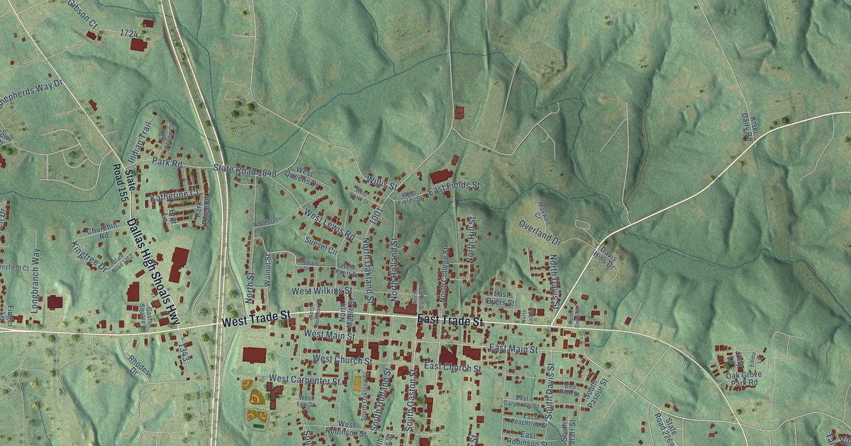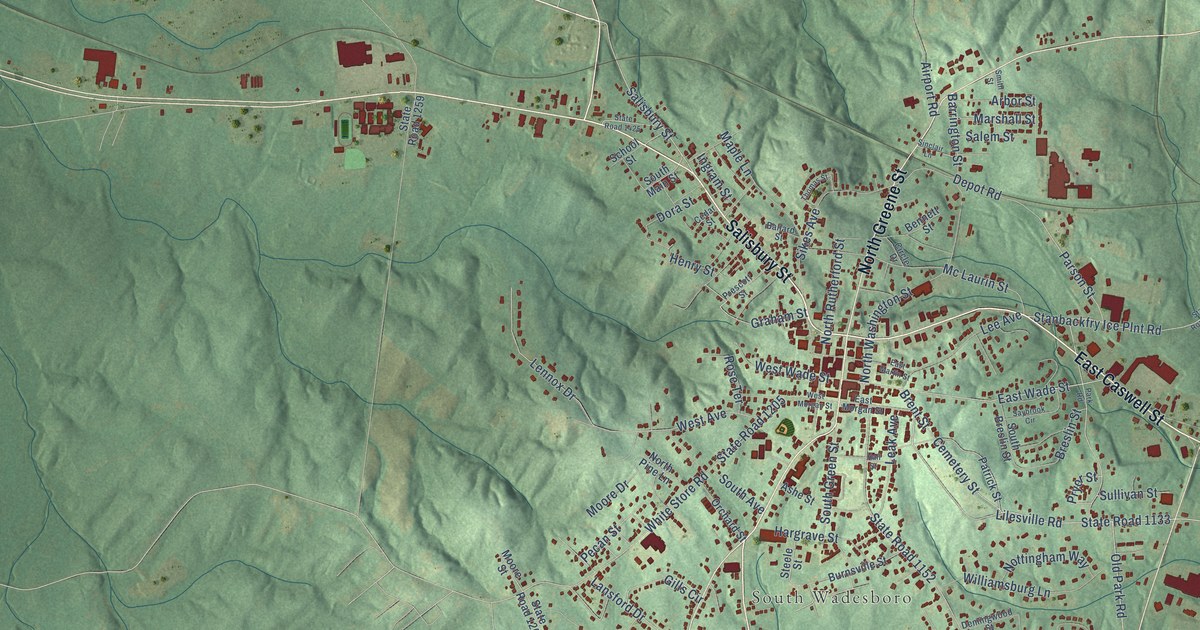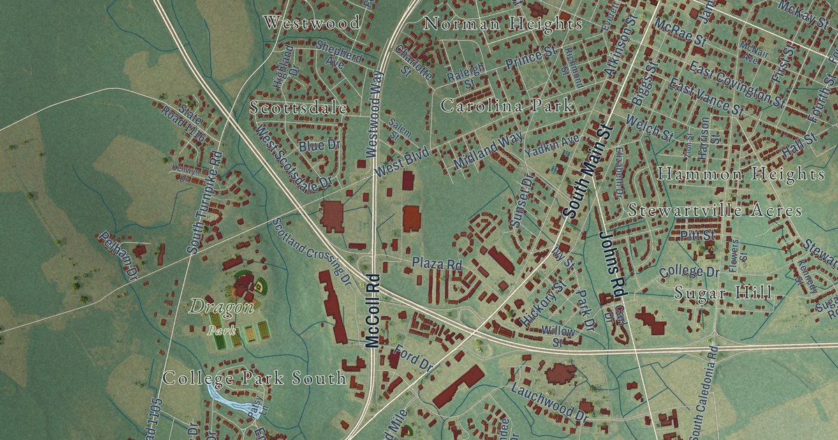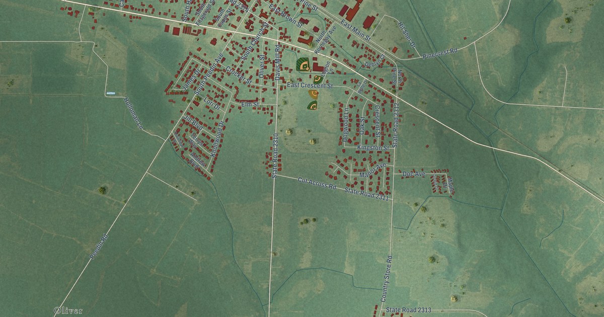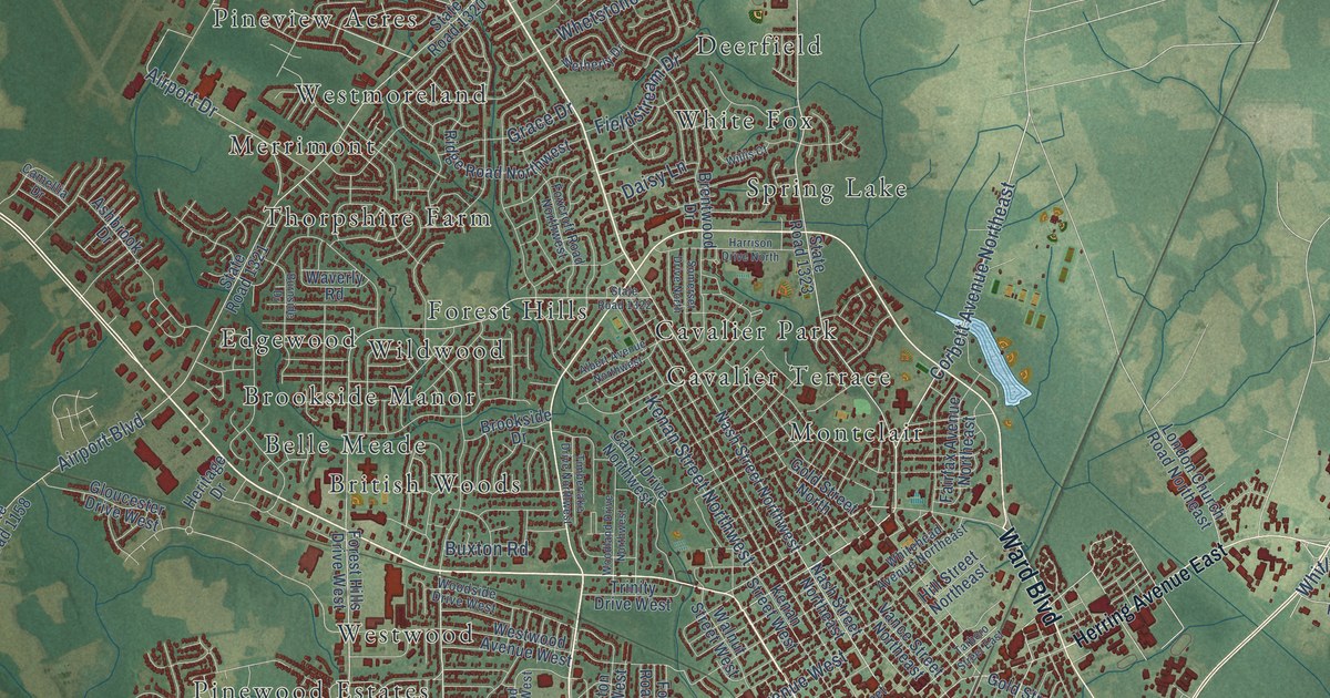
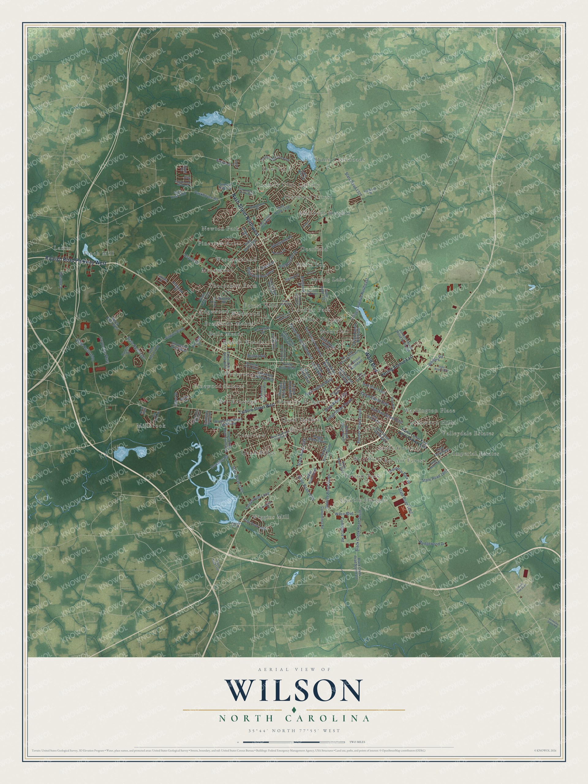
This beautifully detailed map of Wilson, North Carolina was created in 2026 using aerial imagery combined with modern topographical, census, street and landmark data. It's a modern aerial view of Wilson in Wilson County, North Carolina, that combines modern data with a vintage aesthetic. The roads feature printed names, and if you look closely you can find your exact house accurately shown in its correct location.
Explore an aerial view of Wilson, North Carolina
On this map you'll find Bel-Air Forest, Belle Meade, Breckenridge, British Woods, Brookside Manor, Cavalier Park, Cavalier Terrace, Country Club Colony, Crestview, Deerfield, Dew Field, Dunn Crossroads, and more. Each red shape is a building, so zoom in on the preview and look for yours.
Every town has a first chapter, and Wilson is no exception. The record at dncr.nc.gov puts it this way: "Atlantic Christian College (ACC) was established by the Disciples of Christ (Christian Church) in 1902 on a small campus in Wilson purchased, with local support, from the failed Kinsey Seminary."
Wilson is a city in Wilson County. The Census Bureau counted 47,851 people here in 2020.
Take a closer look at the Wilson map
Names on this map
These names are printed on this map.
Places: Bel-Air Forest, Belle Meade, Breckenridge, British Woods, Brookside Manor, Cavalier Park, Cavalier Terrace, Country Club Colony, Crestview, Deerfield, Dew Field, Dunn Crossroads, Edgewood, Elizabeth Heights, Farrior Park, Finch Mill, Five Points, Forest Hills, Glenwood Hills, Hominy Heights, Imperial Estates, Lamm, Lincoln Heights, Merrimont, Millbrook, Montclair, Newton Park, Pineview Acres, Pinewood Estates, Quail Hollow, Quail Ridge, Sandy Creek, Sherwood Forest, Spring Lake, Thorpshire Farm, Valleydale Estates, Washington Place, Westmoreland, Westwood, White Fox, Wiggins Mill, Wildwood and Woodfield.
Streets and roads: Ward Boulevard, Nash Street Northwest, Raleigh Road Parkway West, State Road 1163, Downing Road, State Road 1168, Pender Street South, Corbett Avenue Northeast, Packhouse Road, Black Creek Road South, State Road 1157, Airport Boulevard.
More street names, A to Z
Airport Drive, Albert Avenue Northwest, Ashbrook Drive, Baldree Road South, Black Creek Road Southeast, Boyette Drive Southwest, Brentwood Drive, Brewer Court, Bridgers Street, Briggs Street South, Brookside Drive, Burnside Drive, Buxton Road, Camellia Drive, Campus Drive South, Canal Drive Northwest, Carolina Street East, City, Commerce Road, Contentnea Road, Corporate Parkway, Country Club Drive North, Crabtree Street, Cranberry Ridge Drive, Daisy Lane, Dove Road, Downing Street Southwest, Durban Drive, Fairfax Avenue Northeast, Fieldstream Drive, Fitch Drive East, Forest Hills Drive West, Forest Hills Loop, Forest Hills Road Southwest, Forrest Road West, Foxcroft Road Northwest, Georgetown Drive, Gloucester Drive West, Gold Street East, Gold Street North, Grace Drive, Grimsley Store Road, Harrison Drive North, Heritage Drive, Herring Avenue East, Hill Street Northeast, Industrial Park Drive, Kenan Street Northwest, Kenan Street West, Lake Hills Drive, Lake Wilson Road North, Lamm Road, Lane Street Southeast, Lodge Street South, London Church Road Northeast, Martin Luther King Junior Parkway East, Merck Road West, Miller Road South, Nash Street East, Nash Street Northeast, Nc 42 West, Old Dam Road, Park Avenue West, Parkwood Boulevard West, Phillips Street South, Pine Street West, Purdue Drive, Railroad Street South, Rasberry Drive, Ridge Road Northwest, Saint Andrews Drive North, Somerset Drive North, State Road 1001, State Road 1100, State Road 1158, State Road 1165, State Road 1306, State Road 1320, State Road 1321, State Road 1322, State Road 1323, State Road 1327, State Road 1332, State Road 1568, State Road 1602, State Road 1607, State Road 1608, State Road 1669, State Road 1674, State Road 1685, Summit Place Drive, Tarboro Street East, Tarboro Street West, Thurston Drive West, Timberlake Drive Northwest, Trace Drive, Trappers Road Northwest, Trinity Drive West, Upchurch Road, Vance Street East, Vance Street Northeast, Walker Drive, Walnut Street West, Waverly Road, Wedgewood Drive, Westwood Avenue West, Wetherly Drive, Whetstone Place, Whitehead Avenue Northeast, Whitley Road, Wiggins Mill Road, Wilco Boulevard, Willis Court, Woodland Drive Northwest, Woodside Drive West, Wooten Boulevard Southwest.
Created by KNOWOL in 2026. The buildings are small red shapes, the roads carry their printed names, and shaded relief shows the shape of the land. The title panel reads "AERIAL VIEW OF WILSON NORTH CAROLINA" with 35°44' NORTH 77°55' WEST.
Hang it in the hallway, the office or the cabin, or give it to someone who left Wilson and still calls it home. Open the preview and look for a street you know. See sizes and frames for the Wilson map.