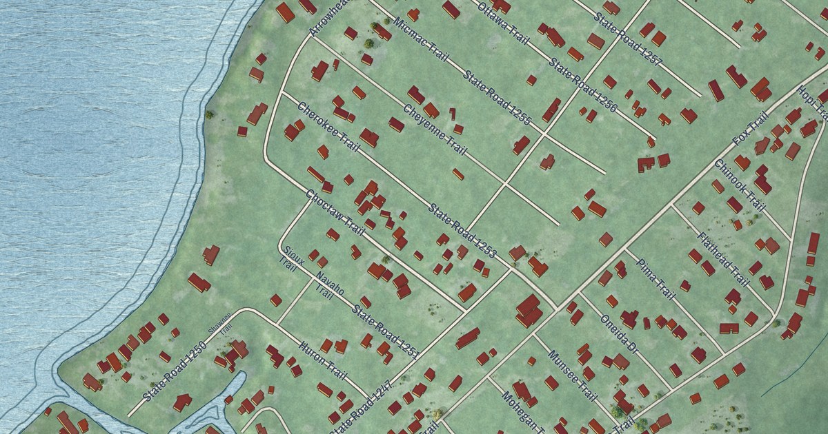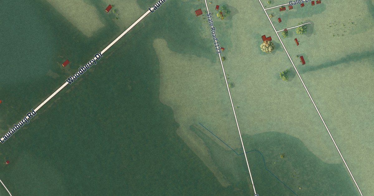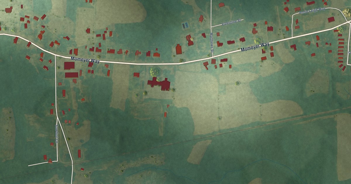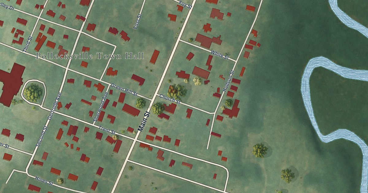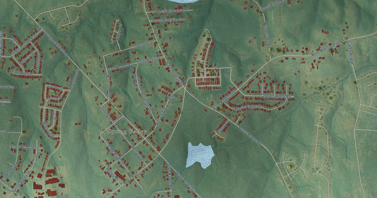
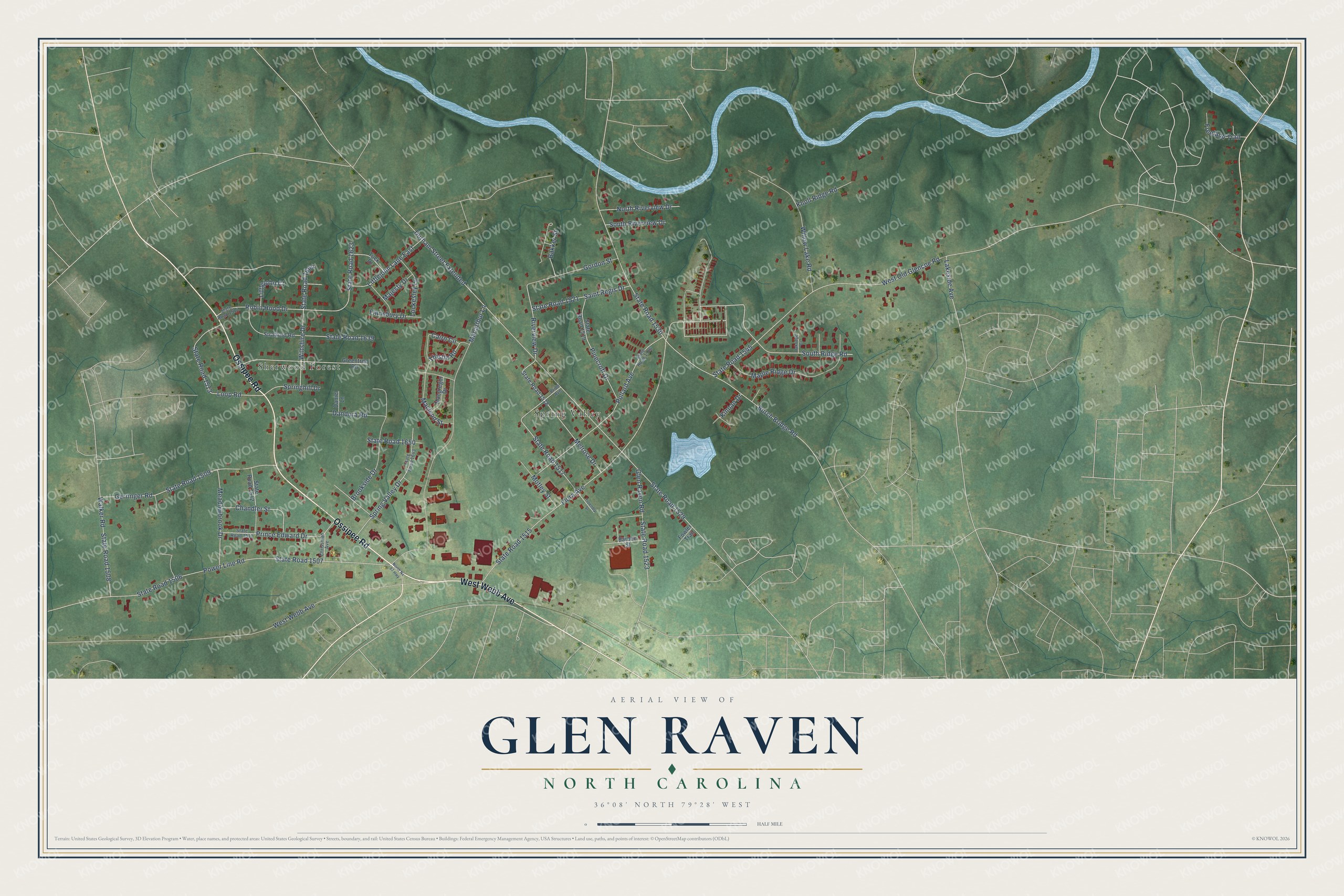
This beautifully detailed map of Glen Raven, North Carolina was created in 2026 using aerial imagery combined with modern topographical, census, street and landmark data. It's a modern aerial view of Glen Raven in Alamance County, North Carolina, that combines modern data with a vintage aesthetic. The roads feature printed names, and if you look closely you can find your exact house accurately shown in its correct location.
Explore an aerial view of Glen Raven, North Carolina
On this map you'll find Sherwood Forest, Spring Valley, Ossipee Road, West Webb Avenue, South Ridge Road, Wiltshire Drive, State Road 1664, State Road 1517, State Road 1623, Riverview Drive, Chandler Street, Robin Hood Drive, and more. Each red shape is a building, so zoom in on the preview and look for yours.
Glen Raven is a community in Alamance County. The Census Bureau counted 3,239 people here in 2020. Glen Raven sits about 3 miles northeast of Elon, 3 miles north of Burlington and 4 miles southeast of Ossipee. The map prints the town name in its title panel, with the coordinates below it.
Take a closer look at the Glen Raven map
Names on this map
These names are printed on this map.
Places: Sherwood Forest and Spring Valley.
Streets and roads: Ossipee Road, West Webb Avenue, South Ridge Road, Wiltshire Drive, State Road 1664, State Road 1517, State Road 1623, Riverview Drive, Chandler Street, Robin Hood Drive, State Road 1507, State Road 1545.
More street names, A to Z
Bakker Street, Barbee Street, Brookside Drive, Burch Bridge Road, Cairn Circle, Chrissman Avenue, Dandora Road, Daniel Lane, Durham Street Extended, Finnsbury Drive, Flora Avenue, Fowler Trail, Freeland Trail, Gerringer Road, Glen Raven Road, Gordon Street, Greentree Road, Kinnan Drive, Knoll Ridge Road, Lakeside Avenue, Littlejohn Court, Littlejohn Lane East, Lockesley Lane, Loop Road, Macarthur Lane, Macgregor Drive, Macleod Street, Majesty Drive, Maple Ridge Drive, Meadowbrook Drive, Melrose Drive, Motley Street, North Nc 87 Highway, North Riverview Drive, Oakridge Court, Pinecroft Drive, Pollard Avenue, Power Line Road, Pride Avenue, Prince Edward Drive, Saint Regis Drive, South Riverview Drive, Springhill Drive, Spring Valley Drive, State Road 1506, State Road 1508, State Road 1509, State Road 1511, State Road 1512, State Road 1513, State Road 1514, State Road 1515, State Road 1516, State Road 1518, State Road 1519, State Road 1521, State Road 1523, State Road 1529, State Road 1530, State Road 1639, State Road 1643, State Road 1650, Stratford Road, Thistle Road, Troendly Street, Tuck Drive, Walker Road, West Old Glencoe Road, Willow Lake Road.
See it on a wall
The Glen Raven map as a framed print. Swipe for more.


Created by KNOWOL in 2026. The buildings are small red shapes, the roads carry their printed names, and shaded relief shows the shape of the land. The title panel reads "AERIAL VIEW OF GLEN RAVEN, NORTH CAROLINA" with 36°08' NORTH 79°28' WEST.
It looks right in a kitchen, an office or a den, and it's a gift for anyone who grew up in Glen Raven or moved away. Open the preview and find your street. See sizes and frames for the Glen Raven map.