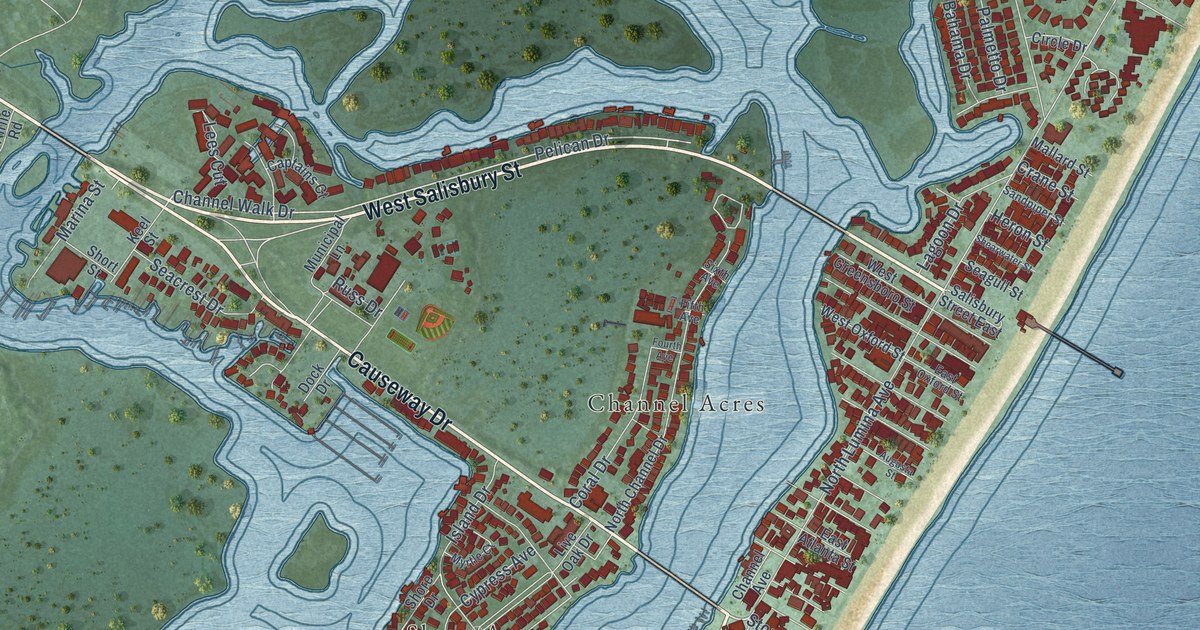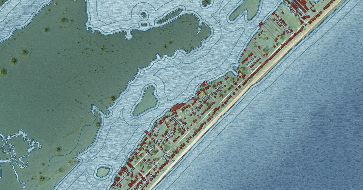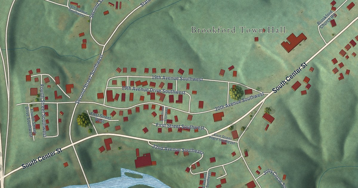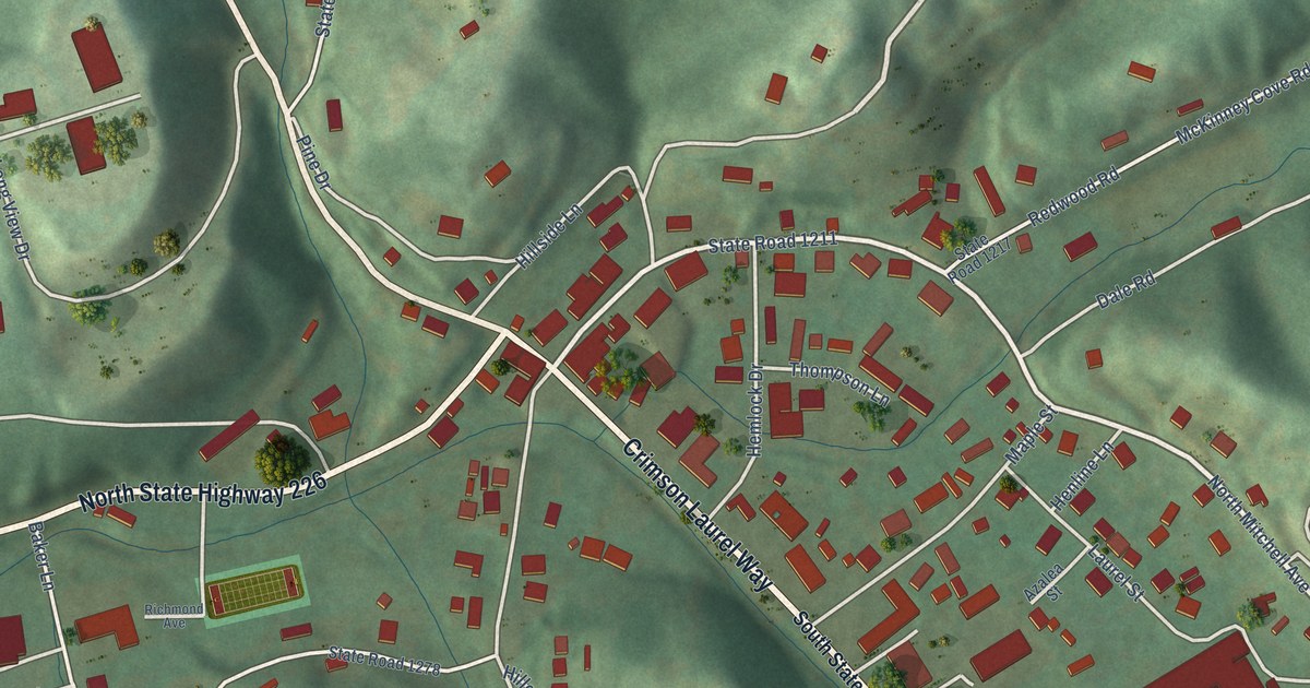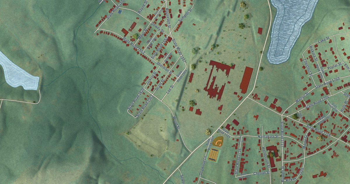
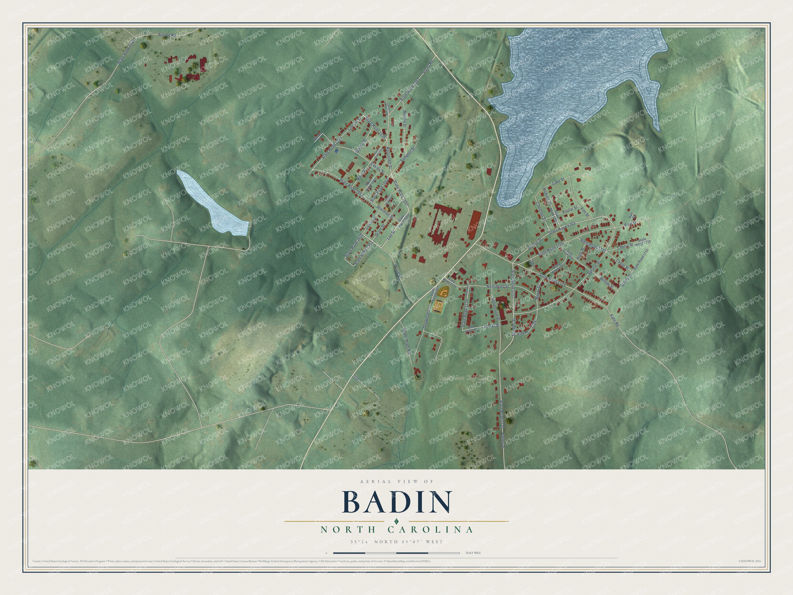
This beautifully detailed map of Badin, North Carolina was created in 2026 using aerial imagery combined with modern topographical, census, street and landmark data. It's a modern aerial view of Badin in Stanly County, North Carolina, that combines modern data with a vintage aesthetic. The roads feature printed names, and if you look closely you can find your exact house accurately shown in its correct location.
Explore an aerial view of Badin, North Carolina
On this map you'll find Badin Inn Golf Club, State Road 1557, Lee Street, State Road 1556, Boyden Street, State Road 1717, State Road 1554, State Road 1620, Walnut Street, Roosevelt Street, Valley Drive, Elm Street, and more. Each red shape is a building, so zoom in on the preview and look for yours.
Every town has a first chapter, and Badin is no exception. The record at dncr.nc.gov puts it this way: "In the spring of 1913, Southern Aluminum Company began construction of the massive dam and drew up plans for a town to be called Badin, after Adrien Badin, the company’s president."
Badin is a town in Stanly County. The Census Bureau counted 2,024 people here in 2020.
Take a closer look at the Badin map
Names on this map
These names are printed on this map.
Places: Badin Inn Golf Club.
Streets and roads: State Road 1557, Lee Street, State Road 1556, Boyden Street, State Road 1717, State Road 1554, State Road 1620, Walnut Street, Roosevelt Street, Valley Drive, Elm Street, State Road 1551.
More street names, A to Z
Airport Road, Ash Street, Cedar Street, Cheoah Street, Cherry Street, Chestnut Street, Dewey Street, Dogwood Lane, Falls Road, Grant Street, Henderson Street, Hickory Street, Holly Place, Jackson Street, Kirk Place, Lake Street, Lincoln Street, Maple Street, Marion Street, Mayo Street, Nantahala Street, Pine Street, Poplar Street, Sewer Plant Road, Sherman Street, Spruce Street, Stanly Street, State Road 1549, State Road 1552, State Road 1553, State Road 1559, State Road 1561, State Road 1562, State Road 1563, State Road 1564, State Road 1588, State Road 1703, State Road 1704, State Road 1705, State Road 1707, State Road 1708, State Road 1710, State Road 1711, State Road 1712, State Road 1714, State Road 1715, State Road 1716, State Road 1719, State Road 1720, State Road 1801, Stuart Road, Sumpter Street, Tallassee Street, Wayne Street, Willow Street, Wilson Street, Wood Street, Yadkin Court.
Created by KNOWOL in 2026. The buildings are small red shapes, the roads carry their printed names, and shaded relief shows the shape of the land. The title panel reads "AERIAL VIEW OF BADIN NORTH CAROLINA" with 35°24' NORTH 80°07' WEST.
Hang it in the hallway, the office or the cabin, or give it to someone who left Badin and still calls it home. Open the preview and look for a street you know. See sizes and frames for the Badin map.