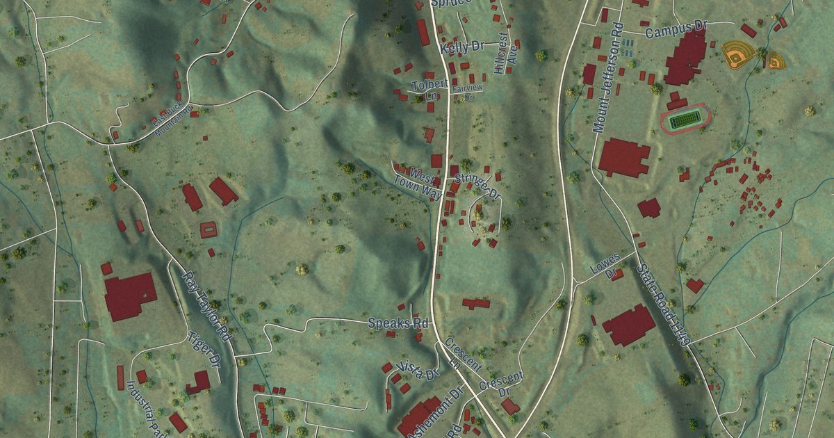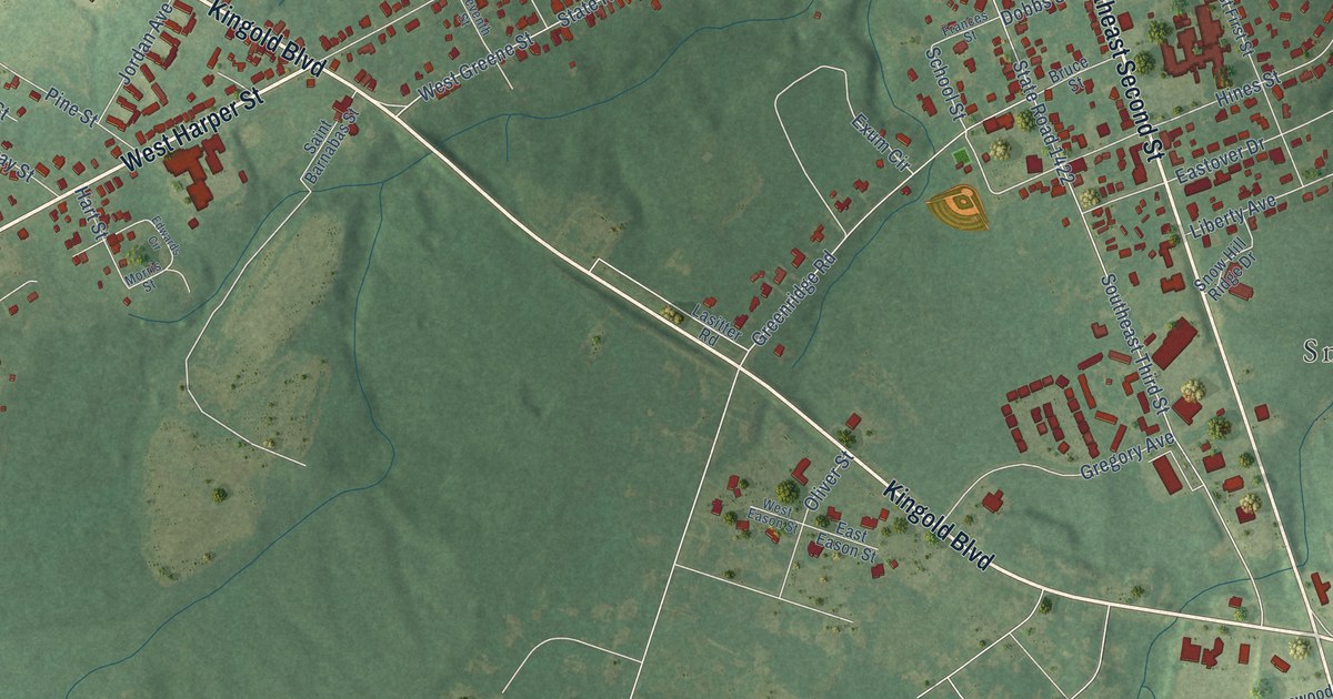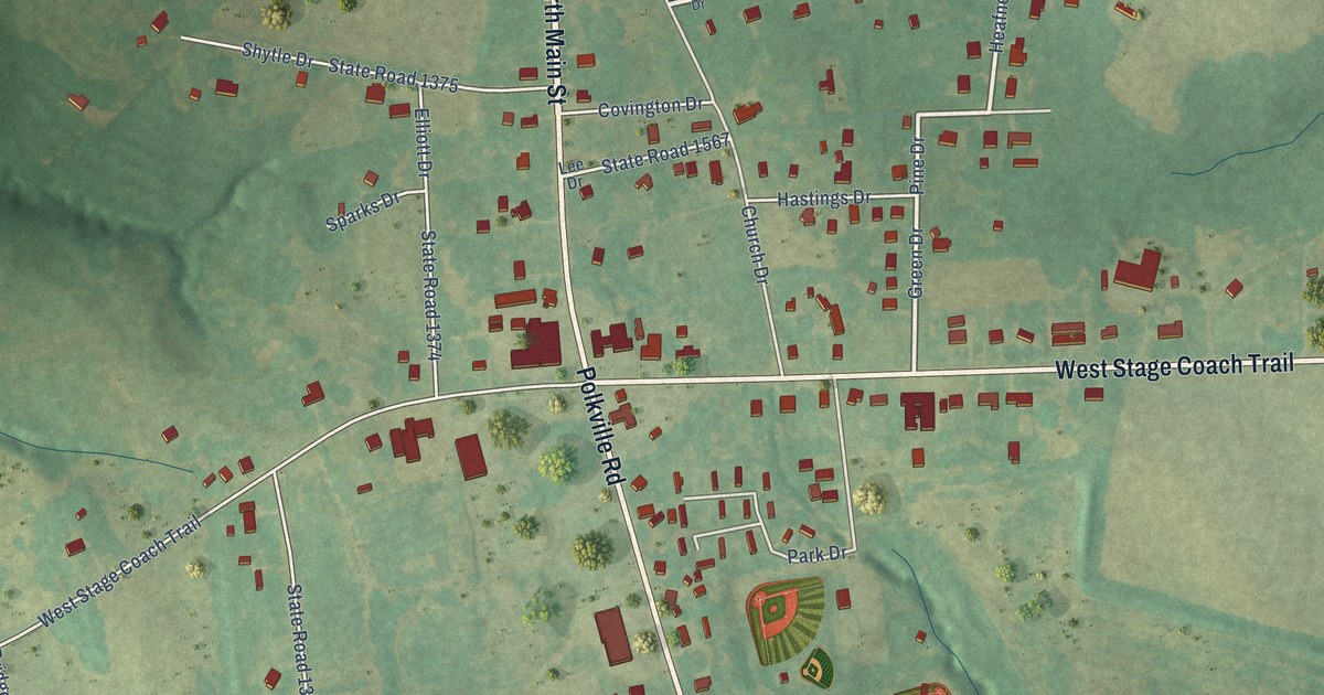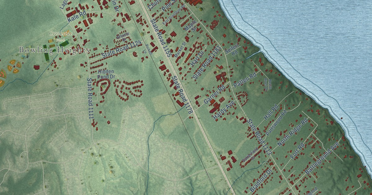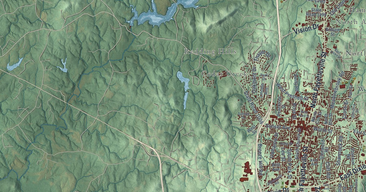
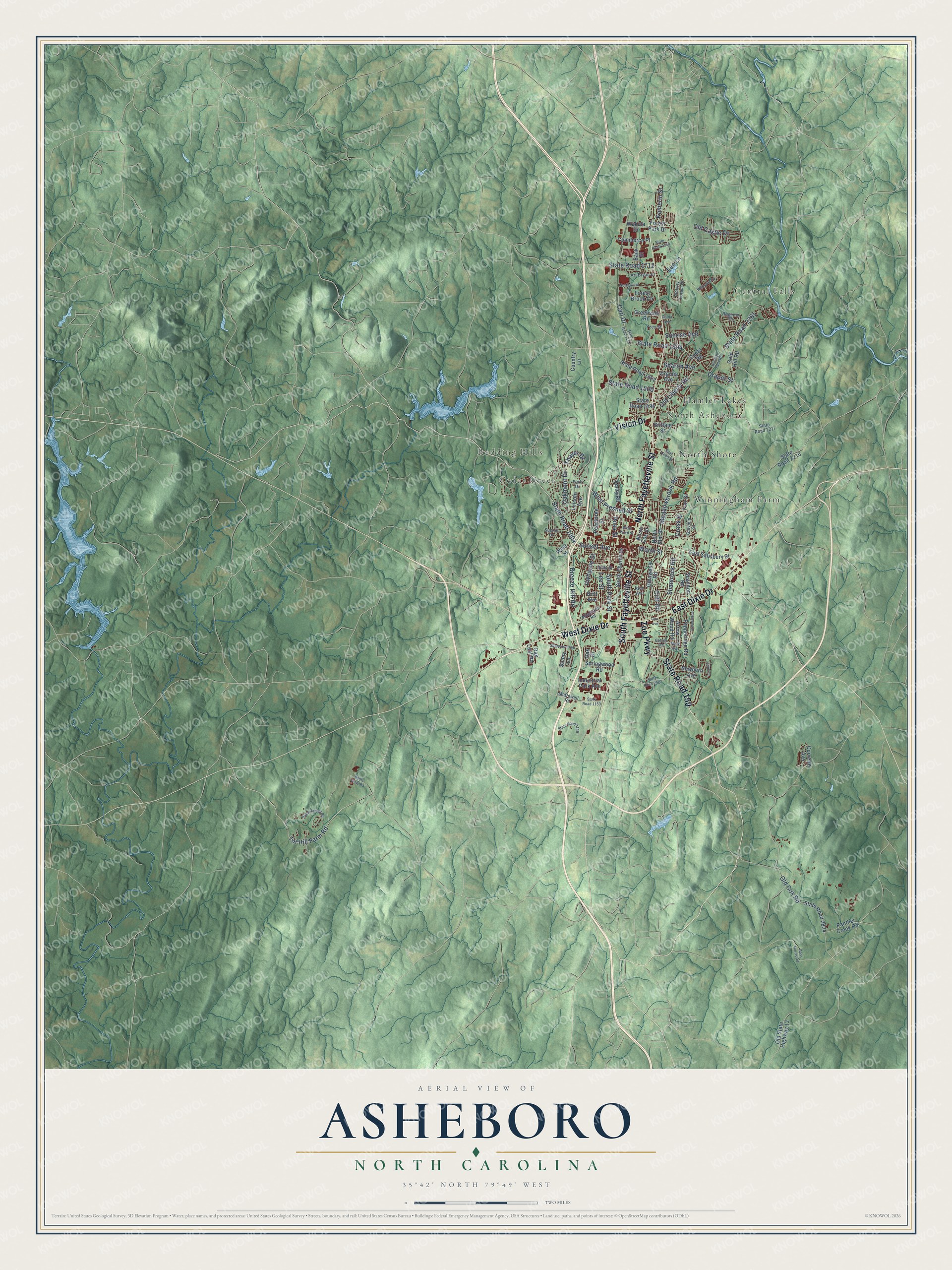
This beautifully detailed map of Asheboro, North Carolina was created in 2026 using aerial imagery combined with modern topographical, census, street and landmark data. It's a modern aerial view of Asheboro in Randolph County, North Carolina, that combines modern data with a vintage aesthetic. The roads feature printed names, and if you look closely you can find your exact house accurately shown in its correct location.
Explore an aerial view of Asheboro, North Carolina
On this map you'll find Central Falls, North Asheboro, Cedar Creek, Redding Hills, Hamlet Lakes, North Shore, Winningham Farm, West Dixie Drive, North Fayetteville Street, East Dixie Drive, State Road 159, Zoo Parkway, and more. Each red shape is a building, so zoom in on the preview and look for yours.
Asheboro has a story worth telling. The record at ncpedia.org puts it this way: "Asheboro , the county seat, was incorporated in 1796 and named for Samuel Ashe , a former governor of North Carolina."
Asheboro is a city in Randolph County. The Census Bureau counted 27,156 people here in 2020.
Take a closer look at the Asheboro map
Names on this map
These names are printed on this map.
Places: Central Falls, North Asheboro, Cedar Creek, Redding Hills, Hamlet Lakes, North Shore and Winningham Farm.
Streets and roads: West Dixie Drive, North Fayetteville Street, East Dixie Drive, State Road 159, Zoo Parkway, South Fayetteville Street, Vision Drive, State Road 1004, Tot Hill Farm Road, West Presnell Street, Old Cox Road, Old Liberty Road.
More street names, A to Z
Albemarle Road, Amity Road, Anns Court, Arrow Wood Road, Art Bryan Drive, Bank Street, Breeze Hill Road, Brittain Street, Britt Avenue, Carl Drive, Cedar Road, Central Falls Road, Cliff Road, Colony Road, Commerce Place, Corvette Avenue, Country Lane, Cox Avenue, Cross Street, Draper Street, East Allred Street, East Salisbury Street, Farr Street, Forest Brook Circle, Forest Park Drive, Glenwood Road, Glovinia Street, Golda Avenue, Gold Hill Road, Greenvale Road, Hickory Forest Drive, Holly Street, Industrial Park Avenue, Kamerin Street, Lee Street, Leo Lane, Lincoln Avenue, Mark Avenue, McDowell Road, Meadowbrook Road, Newbern Avenue, North Cox Street, North Elm Street, Northwood Drive, Oak Drive, Oak Leaf Road, Oakmont Drive, Old Castle Drive, Old State Highway 13, Panther Creek Road, Park Drive, Peachtree Street, Pepperidge Road, Pilots View Road, Regency Drive, Rich Avenue, Ross Harris Road, Ross Street, Shamrock Road, Shannon Road, Sharon Avenue, Sherwood Avenue, South Church Street, South Park Street, Springwood Road, State Road 1149, State Road 1150, State Road 1496, State Road 1500, State Road 1502, State Road 1504, State Road 1507, State Road 1712, State Road 2150, State Road 2216, State Road 2217, State Road 2261, State Road 2834, State Road 2922, Stone Bridge Road, Sunny Lane, Sunrise Avenue, Sunset Avenue, Sunset Drive, Thayer Drive, Timberlane, Uwharrie Street, Virginia Avenue, Waketa Drive, West Street, West Ward Street, Willowood Drive, Worth Street, Yzex Street.
Created by KNOWOL in 2026. The buildings are small red shapes, the roads carry their printed names, and shaded relief shows the shape of the land. The title panel reads "AERIAL VIEW OF ASHEBORO NORTH CAROLINA" with 35°42' NORTH 79°49' WEST.
It looks right in a kitchen, an office or a den, and it's a gift for anyone who grew up in Asheboro or moved away. Open the preview and find your street. See sizes and frames for the Asheboro map.