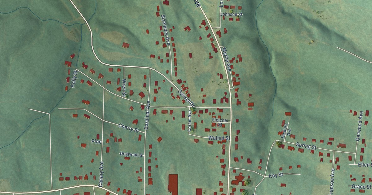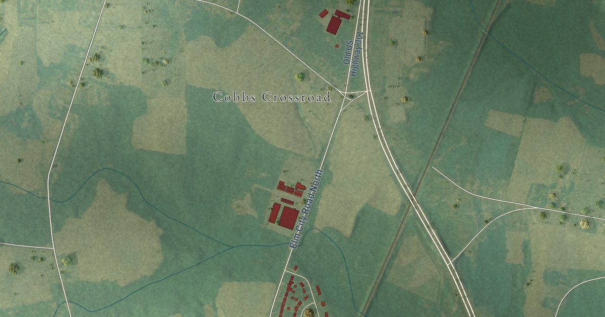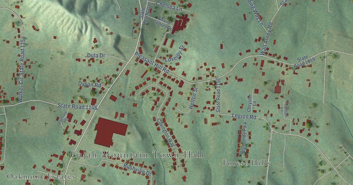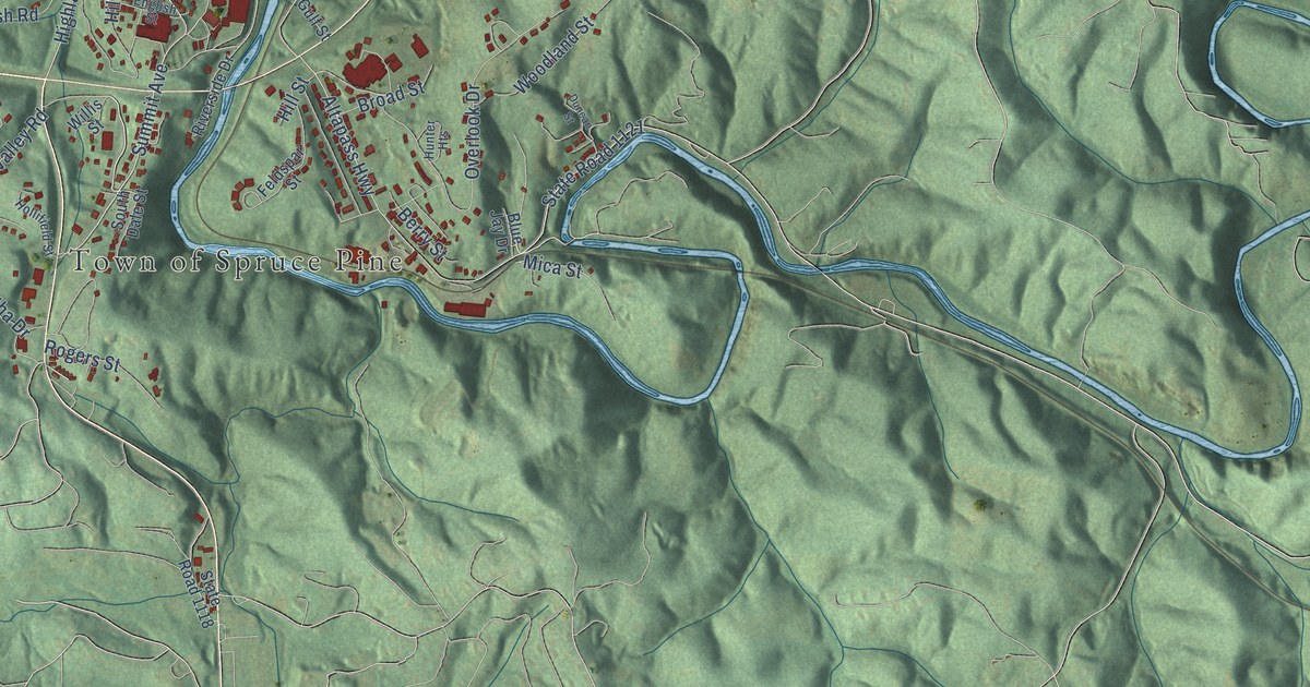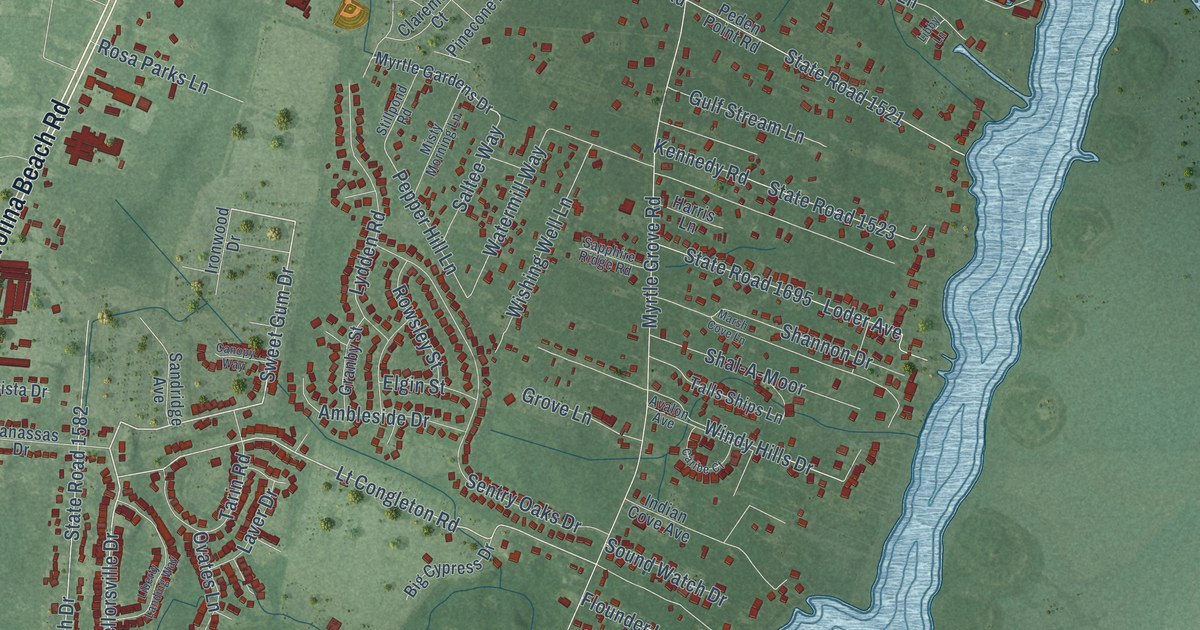
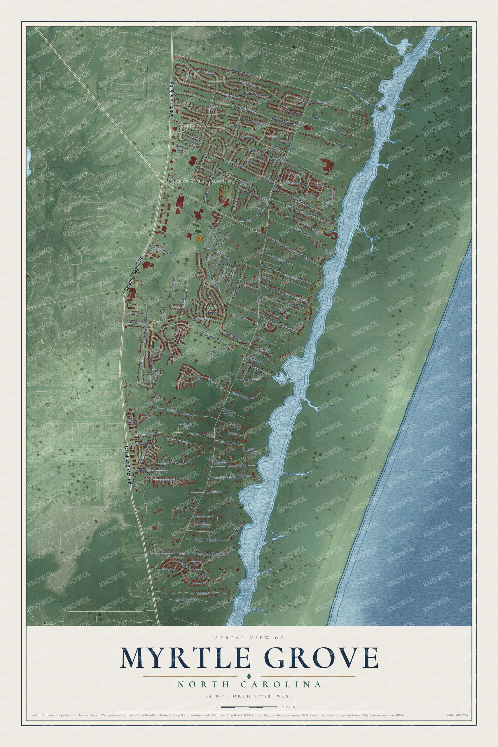
This beautifully detailed map of Myrtle Grove, North Carolina was created in 2026 using aerial imagery combined with modern topographical, census, street and landmark data. It's a modern aerial view of Myrtle Grove in New Hanover County, North Carolina, that combines modern data with a vintage aesthetic. The roads feature printed names, and if you look closely you can find your exact house accurately shown in its correct location.
Explore an aerial view of Myrtle Grove, North Carolina
On this map you'll find Greenbriar, Myrtle Grove Junction, Carolina Beach Road, South College Road, State Road 1521, Piner Road, Sweet Gum Drive, Chancellorsville Drive, Foxwood Lane, Lt Congleton Road, Helms Port Avenue, State Road 1492, and more. Each red shape is a building, so zoom in on the preview and look for yours.
Myrtle Grove is a community in New Hanover County. The Census Bureau counted 11,476 people here in 2020. The map prints the town name in its title panel, with the coordinates below it.
Take a closer look at the Myrtle Grove map
Names on this map
These names are printed on this map.
Places: Greenbriar and Myrtle Grove Junction.
Streets and roads: Carolina Beach Road, South College Road, State Road 1521, Piner Road, Sweet Gum Drive, Chancellorsville Drive, Foxwood Lane, Lt Congleton Road, Helms Port Avenue, State Road 1492, Myrtle Grove Road, Mohican Trail.
More street names, A to Z
Ambleside Drive, Antietam Drive, Appomattox Drive, Aqua Vista Drive, Avalon Avenue, Balsam Drive, Barton Oaks Drive, Big Cypress Drive, Billmark Drive, Blake Trail, Bonfire Way, Breeze Way, Brighton Road, Brown Pelican Lane, Burning Tree Road, Cameo Court, Canopy Way, Captains Lane, Caribe Court, Chimney Lane, Chissom Road, Christa Drive, Claremont Court, Contender Lane, Coronado Drive, Country Place Road, Crosswinds Drive, Cupola Drive, Deer Hill Drive, Dockside Drive, Ebb Drive, Eco Circle, Egret Point Road, Elgin Street, Faulkenberry Road, Fawn Settle Drive, Flounder Lane, Friendly Lane, Friendly Shores Road, Gatlin Way, Golden Road, Granby Street, Greenbriar Road, Grey Squirrel Drive, Grissom Road, Grove Lane, Grove Point Road, Gulf Stream Lane, Harris Lane, Heathcliff Road, Hickory Knoll Road, Hidden Valley Road, Highgrove Place, Hill Valley Walk, Hollis Lane, Holt Road, Hons Trail, Horndale Drive, Indian Cove Avenue, Ironwood Drive, Jettys Reach, Joey Court, Johns Creek Road, Junction Park Drive, Kennedy Road, Lacewood Court, Laver Drive, Leisure Circle, Libby Lane, Liberty Landing Way, Loder Avenue, Long Pointe Road, Lydden Road, Mako Drive, Mallard Crossing, Manassas Drive, Marina Club Drive, Marsh Cove Lane, Masonboro Harbour Drive, Masonboro Loop Road, Middle Oaks Drive, Misty Morning Lane, Myrtle Gardens Drive, Myrtlle Landing Place, Nautical Isle Court, Northeaster Drive, Old Myrtle Grove Road, Out Island Drive, Ovates Lane, Patalanda Road, Peden Point Road, Pepper Hill Lane, Pinecone Place, Pine Forest Road, Porches Drive, Reef Landing Way, Rosa Parks Lane, Rowsley Street, Royal Oak Drive, Rushing Drive, Saltee Way, Salty Bay Landing, Sand Bar Lane, Sandridge Avenue, Sapphire Ridge Road, Sea Gull Lane, Seaview Road East, Seaview Road West, Sentry Oaks Drive, Shal-A-Moor, Shannon Drive, Shiloh Drive, Shoemaker Lane, Skeet Road, Soaring Spirit Drive, Sound Watch Drive, Southeast Harbor Road, Southwold Drive, State Road 1519, State Road 1523, State Road 1524, State Road 1525, State Road 1526, State Road 1564, State Road 1582, State Road 1655, State Road 1695, State Road 1700, State Road 1701, State Road 1704, State Road 1711, Stillpond Road, Summer Hideaway, Sunrise Lane, Talls Ships Lane, Tarin Road, Tidalwalk Drive, Trailing Vine Lane, Tropic Court, Watermill Way, Wedgefield Drive, Welborn Road, West Grove Drive, Williams Road, Windjammer Lane, Winds Ridge Drive, Windy Hills Drive, Wishing Well Lane, Wood Duck Circle, Woods Edge Road.
Created by KNOWOL in 2026. The buildings are small red shapes, the roads carry their printed names, and shaded relief shows the shape of the land. The title panel reads "AERIAL VIEW OF MYRTLE GROVE NORTH CAROLINA" with 34°07' NORTH 77°53' WEST.
It suits a den, a classroom or a front hall, and it makes a gift for anyone with Myrtle Grove roots. Open the preview and find the block you know. See sizes and frames for the Myrtle Grove map.