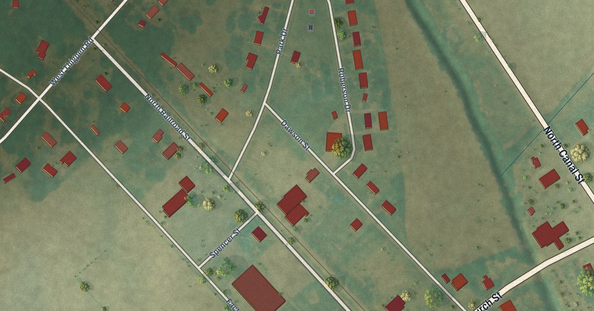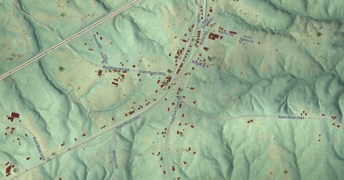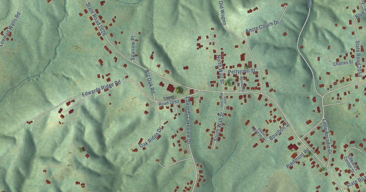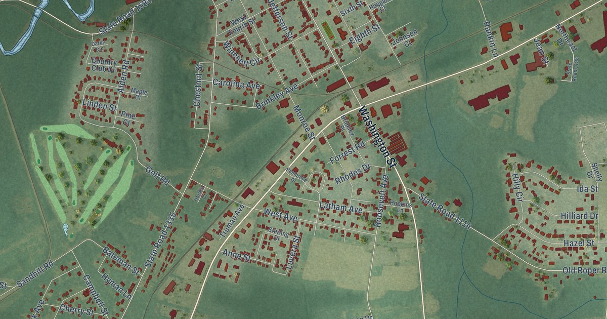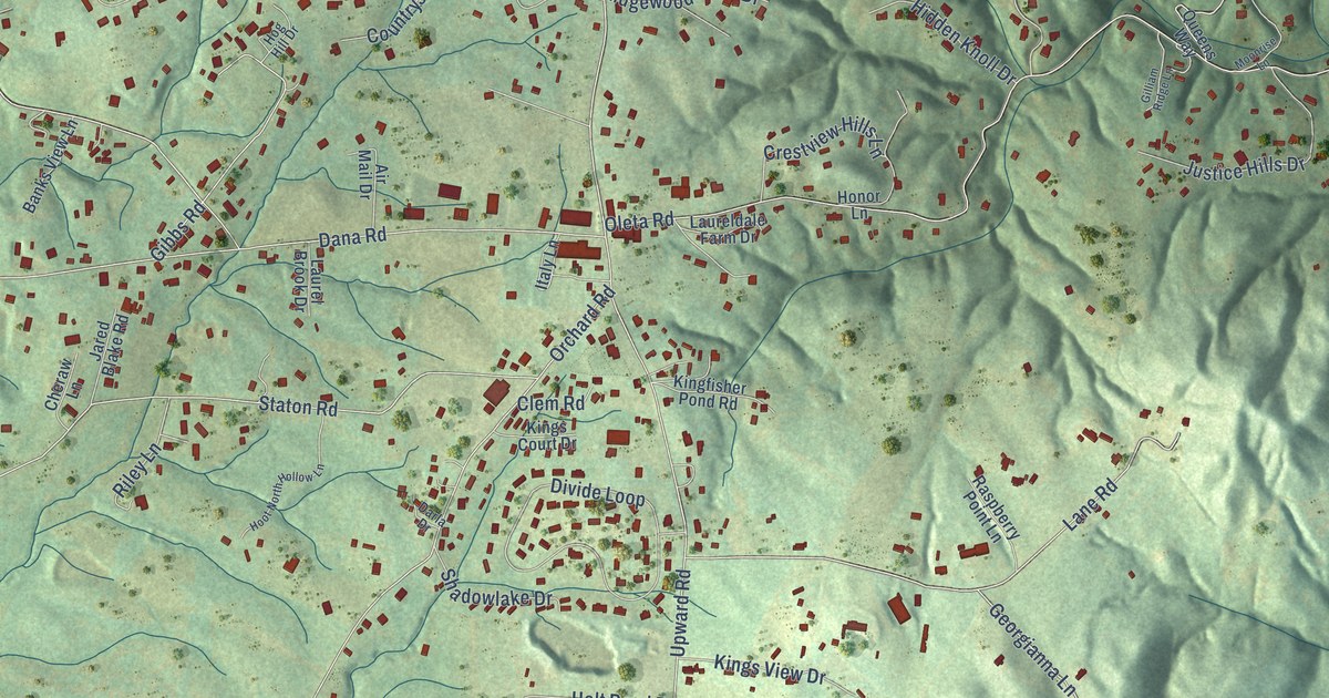
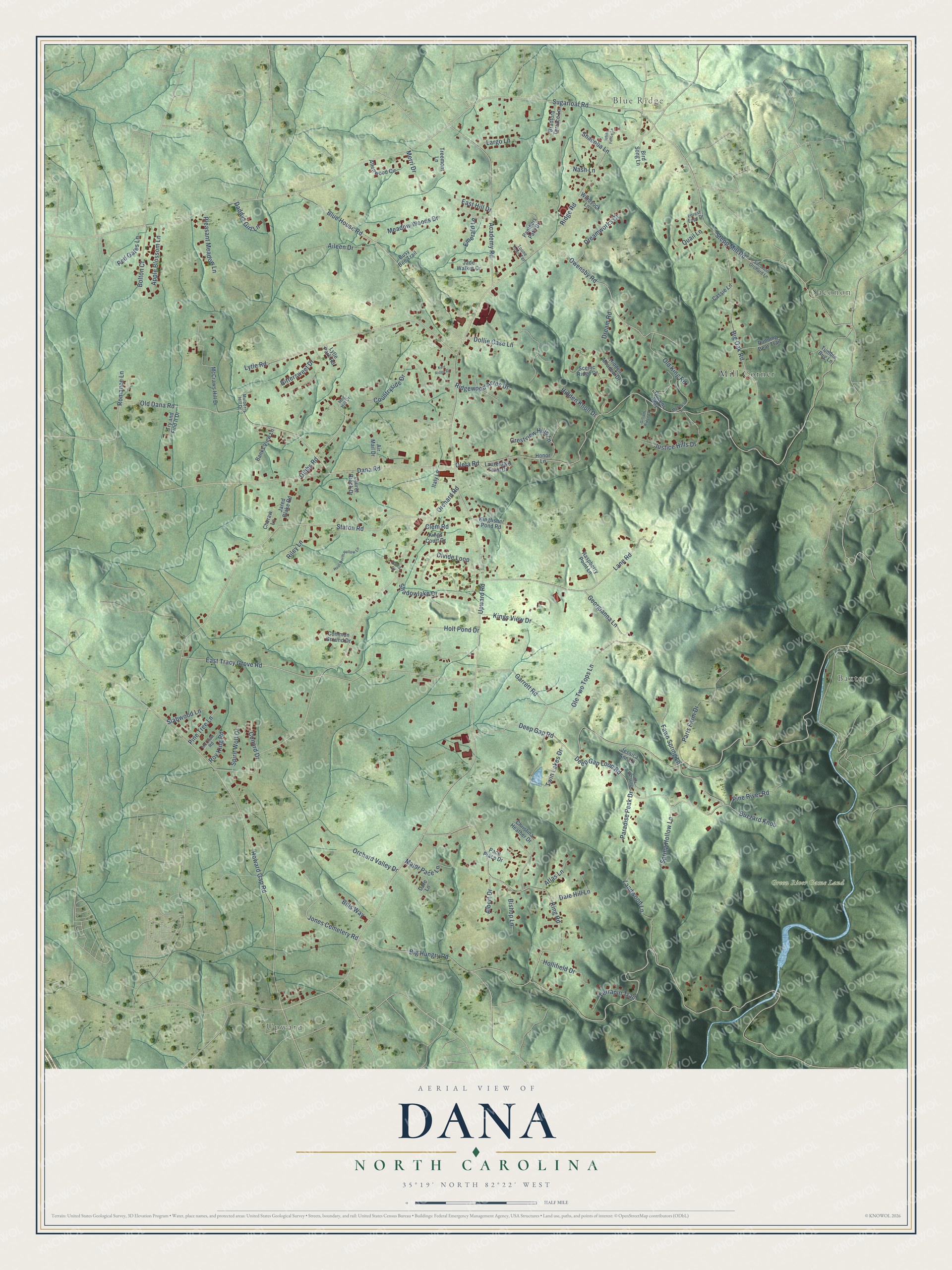
This beautifully detailed map of Dana, North Carolina was created in 2026 using aerial imagery combined with modern topographical, census, street and landmark data. It's a modern aerial view of Dana in Henderson County, North Carolina, that combines modern data with a vintage aesthetic. The roads feature printed names, and if you look closely you can find your exact house accurately shown in its correct location.
Explore an aerial view of Dana, North Carolina
On this map you'll find Upward, Blue Ridge, Saconon, Baxter, Green River Game Land, Mill Corner, Upward Road, Big Hungry Road, Oleta Road, Sugarloaf Road, Deep Gap Road, Ridge Road, and more. Each red shape is a building, so zoom in on the preview and look for yours.
Dana has a story worth telling. In 1892 hotel owner D. G. Hadley of New Hampshire opened the 20-room Summit Hotel and asked for a post office nearer to it. The public suggested naming it for his well-liked son, Dana Hadley, and the Dana Post Office opened that year in William Case's store. Dana storekeeper Jonathan Case later helped organize the Ottaray Canning Company in 1912, which for two seasons was the largest cannery in the state. That's from the North Carolina Historic Preservation Office.
Dana is a community in Henderson County. The Census Bureau counted 3,683 people here in 2020.
Take a closer look at the Dana map
Names on this map
These names are printed on this map.
Places: Upward, Blue Ridge, Saconon, Baxter, Green River Game Land and Mill Corner.
Streets and roads: Upward Road, Big Hungry Road, Oleta Road, Sugarloaf Road, Deep Gap Road, Ridge Road, Orchard Road, Staton Road, Howard Gap Road, Stepp Mill Road, East Tracy Grove Road, King Road.
More street names, A to Z
Academy Road, Aileen Drive, Air Mail Drive, Albert Drive, Allenwood Circle, Apple Blossom Lane, Atlas Lane, Banks View Lane, Big Oak Road, Bills Way, Bird Song Lane, Bishop Lane, Bittersweet Drive, Blue House Road, Bolton Court, Bradford Terrace Lane, Busy Bee Trail, Buzzard Knob, Cassie Lane, Cheraw Lane, Christina Heather Drive, Clem Road, Common Ground Drive, Conard Drive, Countryside Drive, Crestview Hills Lane, Daddys Girl Lane, Dale Hill Lane, Dana Road, Dare Lane, Darla Drive, Deep Gap Loop Road, Divide Loop, Dollie Case Lane, Dream Road, Dreamworks Court, East Hill Drive, Emerald Lane, Fawn Spring Lane, Forest Edge Drive, Garrett Road, Georgianna Lane, Gibbs Road, Gilliam Ridge Lane, Hidden Knoll Drive, Hidden Meadow Drive, Hog Hill Drive, Hollifield Drive, Holt Pond Drive, Honor Lane, Hoot North Hollow Lane, Italy Lane, Jade Walker Drive, Jared Blake Road, Jessica Ann Lane, Jones Cemetery Road, Justice Hills Drive, Kerr Ridge Drive, Kingfisher Pond Road, Kings Court Drive, Kings View Drive, Landwood Lane, Lane Road, Largo Lane, Laurel Brook Drive, Laureldale Farm Drive, Lively Crossing, Lytle Park Road, Lytle Road, Major Pace Lane, McCraw Road, McCraws Hill Drive, Meadow Woods Drive, Merri Drive, Moonrise Lane, Mulberry Hill Drive, Nash Lane, Old Dana Road, Old King Road, Ole Two Tops Lane, Orchard Valley Drive, Owensby Road, Pace Place Drive, Panthers Path Drive, Paradise Peak Drive, Paris Farm Drive, Pine River Road, Pine Tree Lane, Pleasant Meadow Lane, Quail Lane, Queens Way, Raspberry Point Lane, Red Gates Lane, Ridgewood Acres Drive, Riley Lane, Romance Lane, Roy King Road, Running Bear Trail, Saconon Orchard Lane, Scenic Ridge Drive, Shacoba Lane, Shadowlake Drive, Slabwood Lane, Spirit Wolf Drive, Spring Hollow Lane, Terrapin Trail, Toone Town Terrace, Treemont Lane, Try and Find It Drive, Tumble Bug Lane, Twin Lakes Drive, White Fence Lane, Windsock Lane.
See it on a wall
The Dana map as a framed print. Swipe for more.


Created by KNOWOL in 2026. The buildings are small red shapes, the roads carry their printed names, and shaded relief shows the shape of the land. The title panel reads "AERIAL VIEW OF DANA, NORTH CAROLINA" with 35°19' NORTH 82°22' WEST.
It looks right in a kitchen, an office or a den, and it's a gift for anyone who grew up in Dana or moved away. Open the preview and find your street. See sizes and frames for the Dana map.