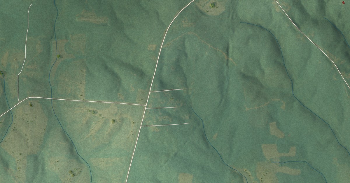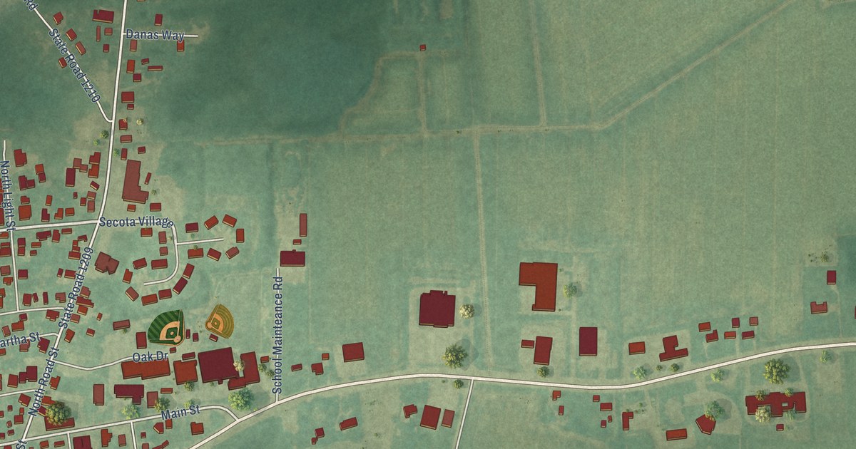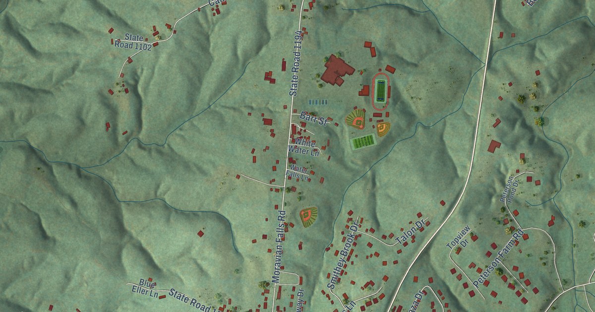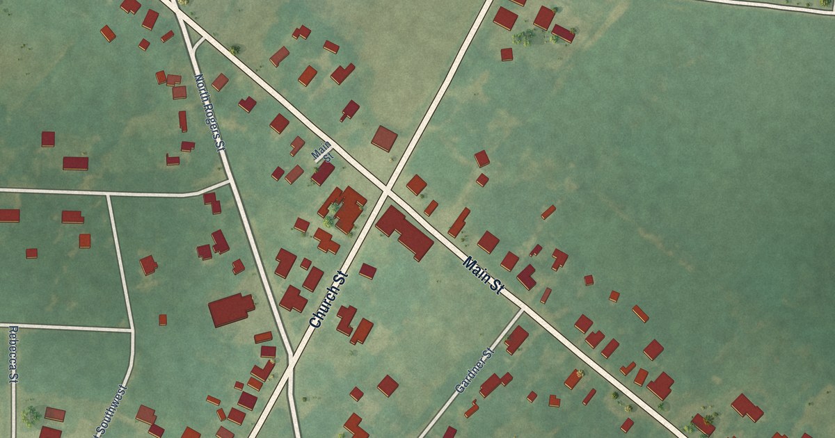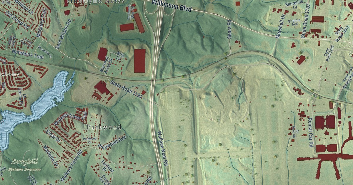
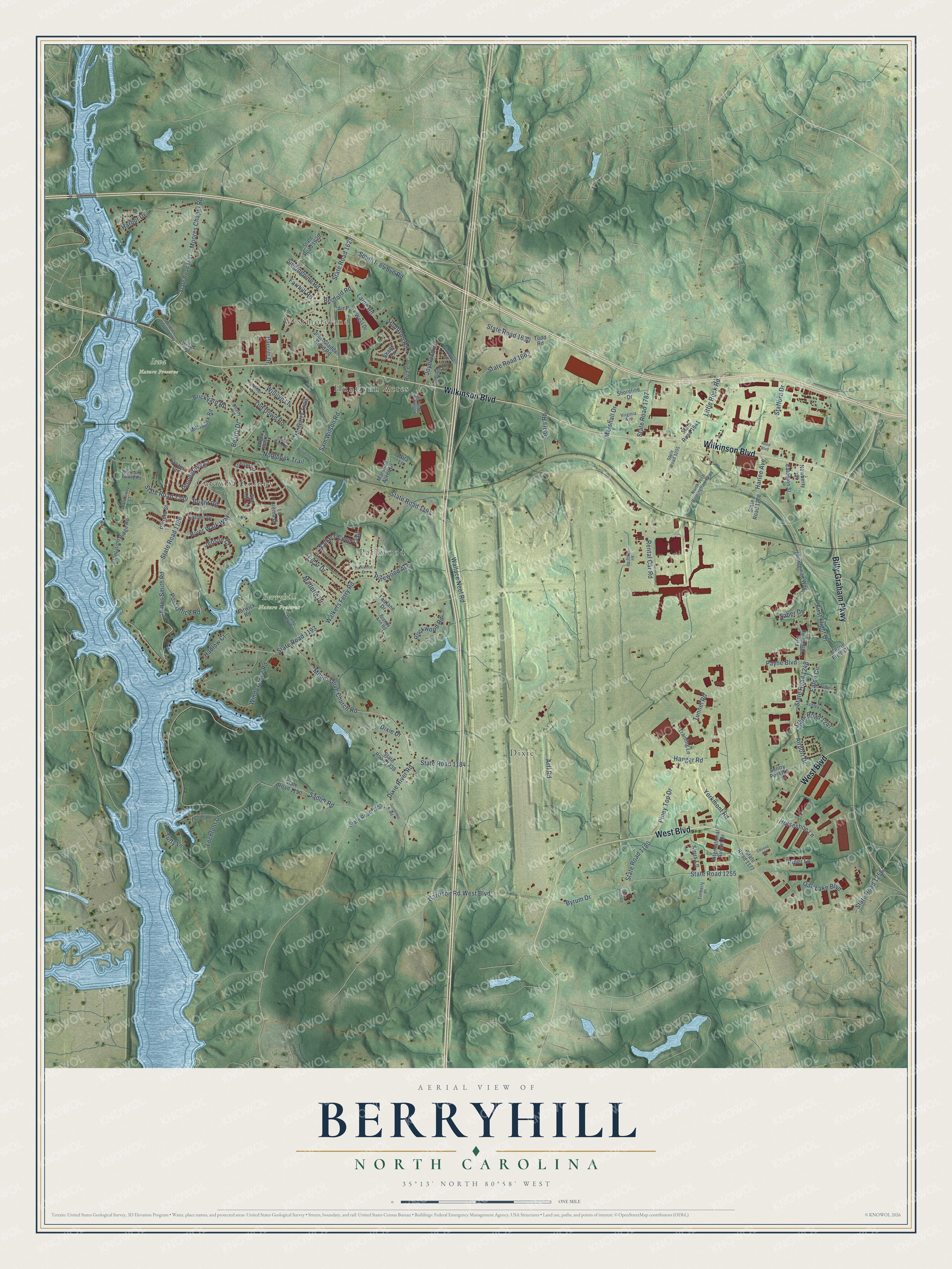
This beautifully detailed map of Berryhill, North Carolina was created in 2026 using aerial imagery combined with modern topographical, census, street and landmark data. It’s a one-of-a-kind view of Berryhill that combines accurate data with a vintage aesthetic. The map shows every building in its true location, many of the roads carry their names, and the shaded topographic relief shows the shape of the land.
Explore an aerial view of Berryhill, North Carolina
On the map you’ll find Westmoreland, Berryhill Nature Preserve, Iswa Nature Preserve, Dixie, Parkwood, Catawba Colony, and Huntlynn Acres, along with Wilkinson Boulevard, West Boulevard, Billy Graham Parkway, Walkers Ferry Road, State Road 1193, and more. If you look closely you can even find your house accurately drawn in its correct location. Zoom in on the preview to look for yours.
Take a closer look at the Berryhill map
Names on this map
These names are printed on this map.
Places: Westmoreland, Berryhill Nature Preserve, Iswa Nature Preserve, Dixie, Parkwood, Catawba Colony and Huntlynn Acres.
Streets and roads: Wilkinson Boulevard, West Boulevard, Billy Graham Parkway, Walkers Ferry Road, State Road 1193, Windy Grove Road, State Road 1349, Airport Drive, State Road 1248, Old Dowd Road, State Road 1191, Wallace Neel Road.
More street names, A to Z
Air Park West Drive, Air Ramp Road, Amos Smith Road, Angel Way Court, Arff Road, Ashley Circle, Beatty Drive, Beatty Road, Bedford Road, Brenda Ann Road, Brickyard Road, Bright Road, Brite and Earley Road, Byrum Drive, Camp Oak Road, Casper Drive, Cessna Road, Cricket Place Circle, Dixie Drive, Dixie River Road, Eaton Circle, Eatonton Street, Elcar Drive, Eleanor Drive, Fairlane Drive, Farrhill Road, Fieldridge Road, First Flight Drive, First Union Road, Fox Valley Road, Garrison Road, Goodman Road, Hadlow Court, Hangar Road, Harbor Drive, Harlee Avenue, Horseshoe Lane, Huntlynn Road, International Airport Drive, Irish Lane, Jepson Court, John Gladden Road Road, Joyeland Circle, La Crema Drive, Laine Road, Lavaux Court, Little Rock Road, Lochfoot Drive, Lowwoods Circle, Loxton Circle, Marlette Drive, Marshall Acres Drive, Marshall Drive, Marwick Road, McGarry Trail, Minuteman Way, Moores Chapel Loop, Moores Chapel Road, Morris Field Drive, Mount Olive Church Road, Mullimack Road, Newberry Street, Nita Lane, North Josh Birmingham Parkway, Notebook Trail, Oak Lake Boulevard, Parkridge Drive, Parkwood Drive, Parrott Drive, Payne Boulevard, Pennegrove Cr, Perimeter West Drive, Pinewood Avenue, Piney Top Drive, Piper Lane, Plantation Ridge Road, Porrera Street, Post Office Road, Reed Boulevard, Rental Car Road, Ridge Street, River Walk Way, Rockwood Road, Rv Lane, Saber Drive, Sadler Road, Sam Wilson Road, Sears Road, Sentry Post Road, Shane Lane, Shoreline Drive, Singingpine Road, Sirus Lane, South I- 85 Svc Road, Stafford Drive, Star Hill Lane, State 2037 Road, State Road 1150, State Road 1155, State Road 1177, State Road 1180, State Road 1184, State Road 1186, State Road 1205, State Road 1208, State Road 1247, State Road 1255, State Road 1256, State Road 1338, State Road 1601, State Road 1625, State Road 1629, State Road 1630, State Road 1641, State Road 1662, State Road 1787, Timberly Place, Todd Road, Training Lane, Tuffy Lane, Tunnel Road, Virginia Avenue, Walkers Cove Trail, Watersway Court, Willilyn Lane, Woodchip Court, Yorkmont Road.
See it on a wall
The Berryhill map as a framed print. Swipe for more.


This beautifully detailed map of Berryhill makes an attractive addition to your office, library, or den, and it can even be used to teach children the geography and history of the area. It also makes a great gift for anyone who grew up in Berryhill or moved away. When you’re done exploring, click here to get your copy of the Berryhill map.