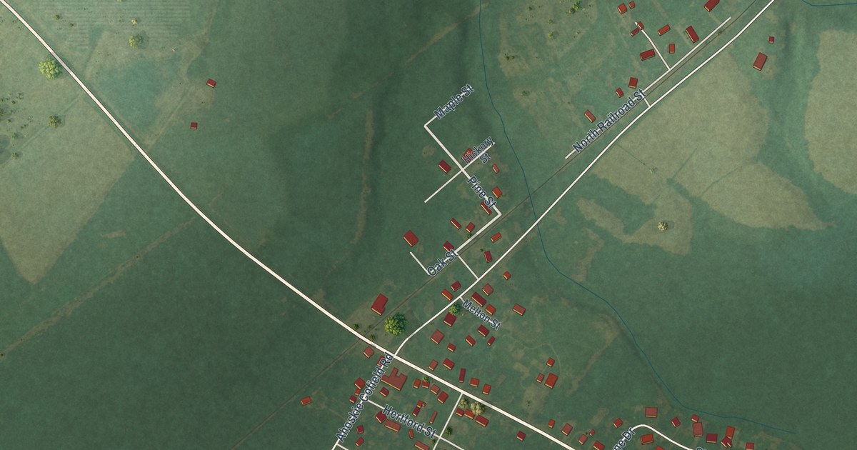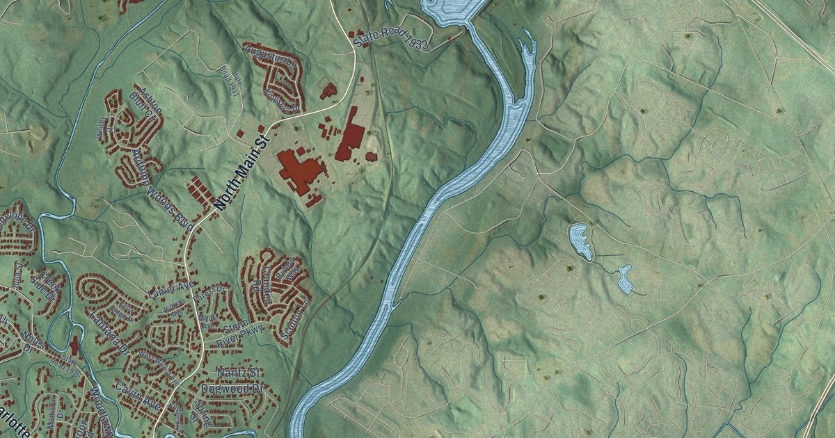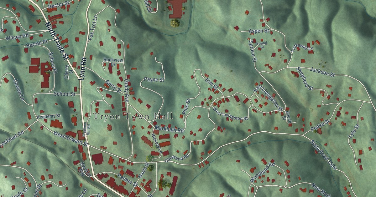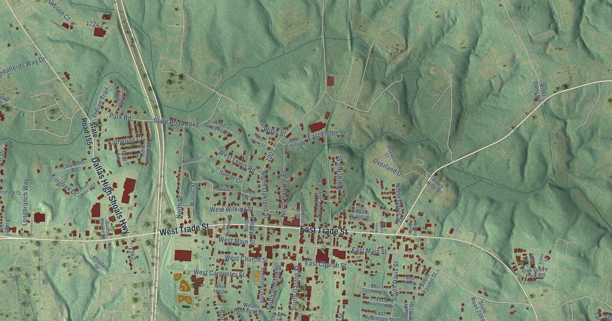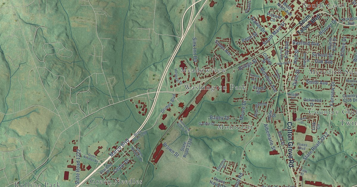
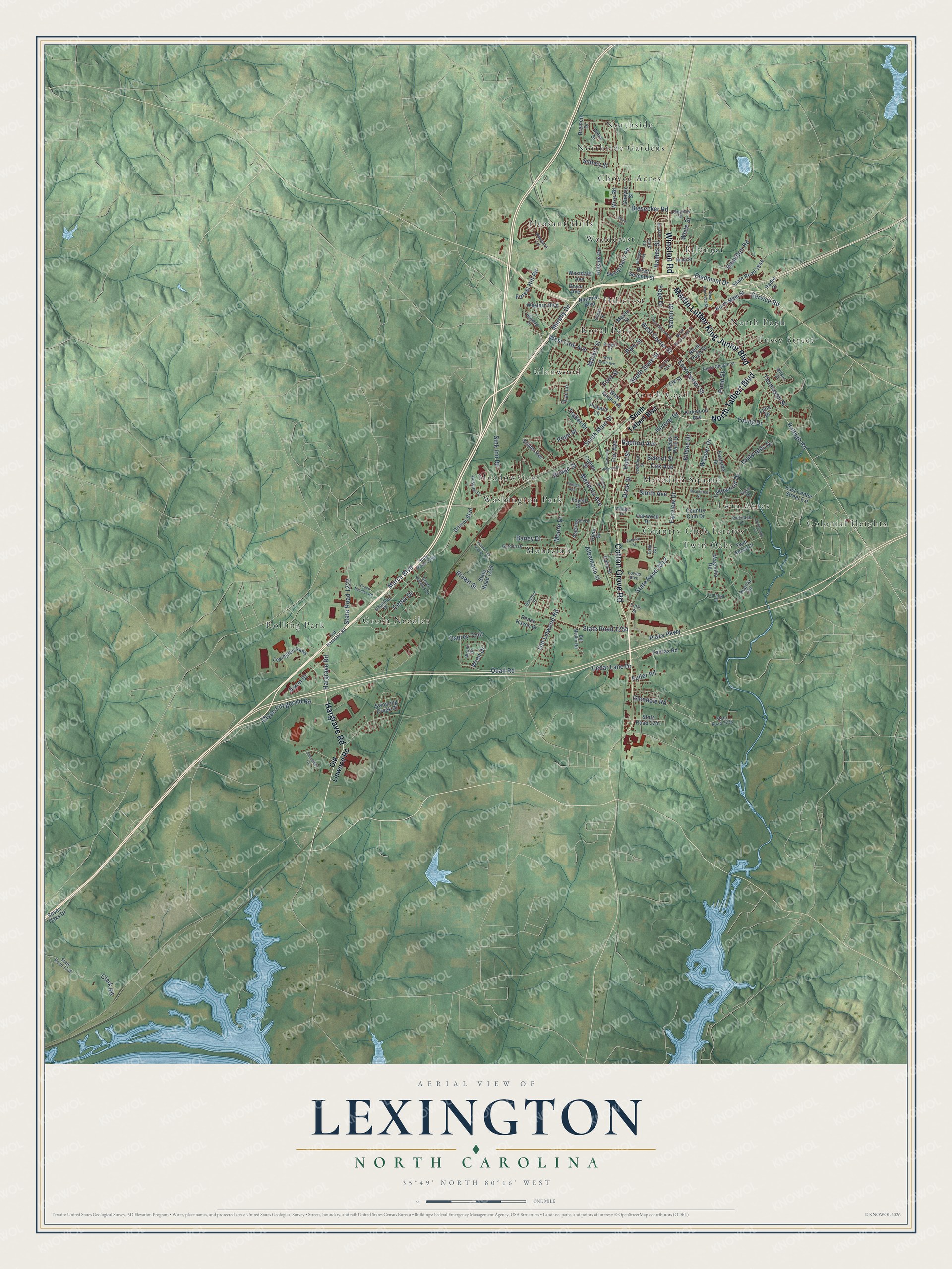
This beautifully detailed map of Lexington, North Carolina was created in 2026 using aerial imagery combined with modern topographical, census, street and landmark data. It's a modern aerial view of Lexington in Davidson County, North Carolina, that combines modern data with a vintage aesthetic. The roads feature printed names, and if you look closely you can find your exact house accurately shown in its correct location.
Explore an aerial view of Lexington, North Carolina
On this map you'll find Choyce Acres, Colonial Heights, Country Club Estates, Erlanger, Glenwood, Green Needles, Hillcrest, Meadowview, Meredith Square, Montclair, North Pugh, Northside, and more. Each red shape is a building, so zoom in on the preview and look for yours.
Every town has a first chapter, and Lexington is no exception. The record at dncr.nc.gov puts it this way: "There have been four sanctuaries for the church over the years, the first of which was a log structure built around 1759 along Leonard’s Creek (Abbott’s Creek) four miles north of Lexington."
Lexington is a city in Davidson County. The Census Bureau counted 19,632 people here in 2020.
Take a closer look at the Lexington map
Names on this map
These names are printed on this map.
Places: Choyce Acres, Colonial Heights, Country Club Estates, Erlanger, Glenwood, Green Needles, Hillcrest, Meadowview, Meredith Square, Montclair, North Pugh, Northside, Northside Gardens, Pleasant Hills, Rolling Park, Royal Park, South Cecil, Tussy Street, Twin Acres, Twin Oaks, Washington Park and Woodcrest.
Streets and roads: Cotton Grove Road, Martin Luther King Junior Boulevard, North Talbert Boulevard, Hargrave Road, Winston Road, South Main Street, Service Road, West Center Street, East Center Street, Raleigh Road, Weaver Drive, Piedmont Drive.
More street names, A to Z
Acacia Circle, Albemarle Street, Baney Drive, Biesecker Road, Bill Medlin Road, Bookington Drive, Bremen Drive, Bridge Street, Broad Street, Brown Street, Burgin Drive, Cedar Drive, Cedar Lane Drive, Charlotte Drive, Choyce Street, Clark Road, Clyde Fitzgerald Road, Copley Street, Country Club Drive, Delta Street, Dixie Street, Dixon Street, Dover Street, Druid Hills Drive, Duke Drive, East Center Street Extension, Eastside Drive, Edna Street, Elk Street, Erlanger Alley, Evergreen Circle, Fairfax Road, Fairview Drive, Farmer Avenue, Federal Street, Florence Street, Ford Street, Forest Hill Road, Foy Avenue, Foyell Street, Fritts Street, Fuller Road, Garden Drive, Glendale Road, Green Needles Drive, Green Needles Road, Grimes Boulevard, Hames Street, Hamilton Road, Hege Drive, Henry Link Access Road, Hickory Street, Hillside Drive, Holt Street, Hoover Drive, Hospital Drive, Hyde Street, Idlewild Drive, Irma Avenue, Kildee Drive, Kindley Street, Kirkwood Avenue, Lakewood Drive, Leonford Street, Lexington Parkway, Lillie Drive, Link Circle, Longview Street, Lowes Boulevard, Magnolia Road, Marble Alley, Marco Boulevard, Market Street, Martin Street, Mendota Avenue, Mize Road, Moore Drive, Murphy Drive, Myers Park Drive, National Boulevard, Ninth Street, North Church Street, North Greensboro Street, North Main Street, North Pugh Street, Oak Avenue, Oakwood Drive, Old Hargrave Road, Old Linwood Road, Osprey Trail, Overbrook Lane, Park Circle, Park Street, Partridge Lane, Peace Haven Drive, Peachtree Street, Pickard Circle, Plaza Parkway, Pond Street, Pope Street, Quail Lane, Quail Road, Radio Drive, Raeford Avenue, Royal Avenue, Salem Street, School Street, Seven Oaks Drive, Shoaf Street, Sidney Street, Sink Inn Road, Smith Avenue, Snider Avenue, South State Street, South Talbert Boulevard, State Road 1136, State Road 1222, State Road 1254, State Road 1298, State Road 1318, State Road 1844, State Road 2212, State Road 2238, State Road 2241, Swearing Creek Drive, Swing Dairy Road, Thomason Street, Trafalgar Drive, Trailer Drive, Twin Acres Drive, Village Drive, Vineyard Lane, Westdale Avenue, Western Boulevard, West Fifth Avenue, West Hemstead Street, West Ninth Avenue, West Second Street, West Seventh Street, West Sixth Avenue, White Street, Wilson Street, Wren Drive, Wrenn Drive, Young Drive.
Created by KNOWOL in 2026. The buildings are small red shapes, the roads carry their printed names, and shaded relief shows the shape of the land. The title panel reads "AERIAL VIEW OF LEXINGTON NORTH CAROLINA" with 35°49' NORTH 80°16' WEST.
Hang it in the hallway, the office or the cabin, or give it to someone who left Lexington and still calls it home. Open the preview and look for a street you know. See sizes and frames for the Lexington map.