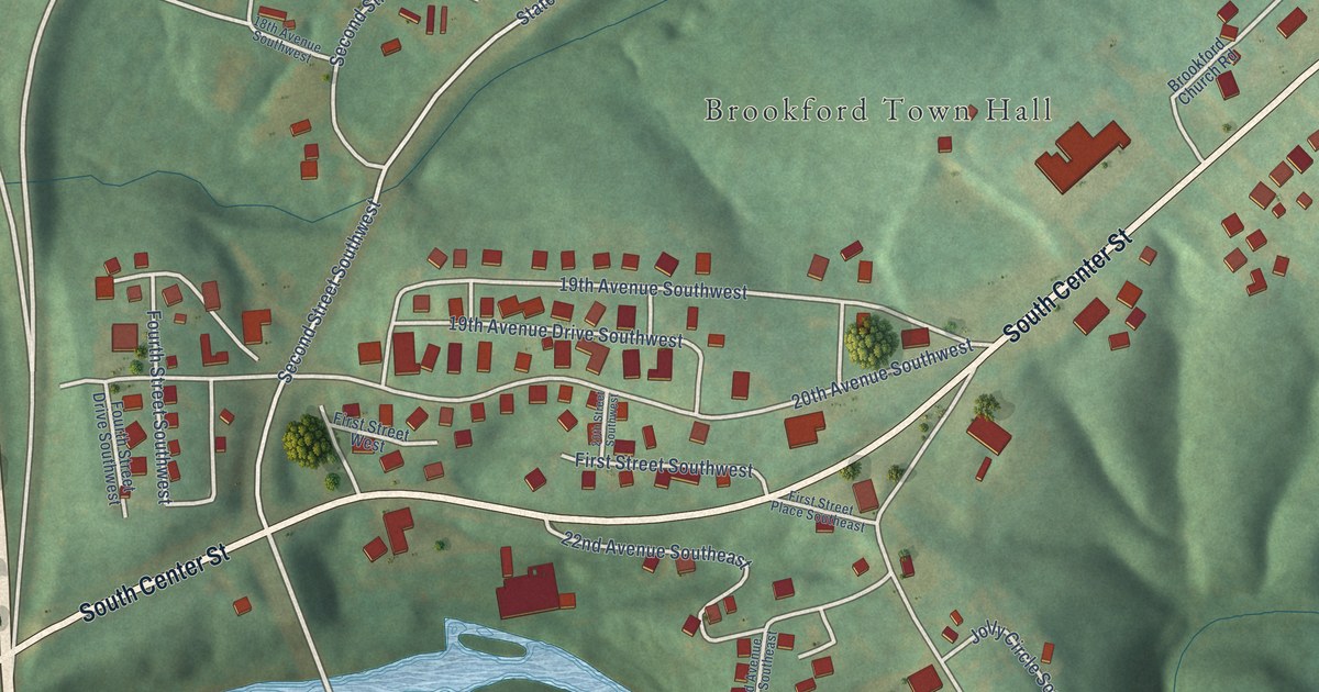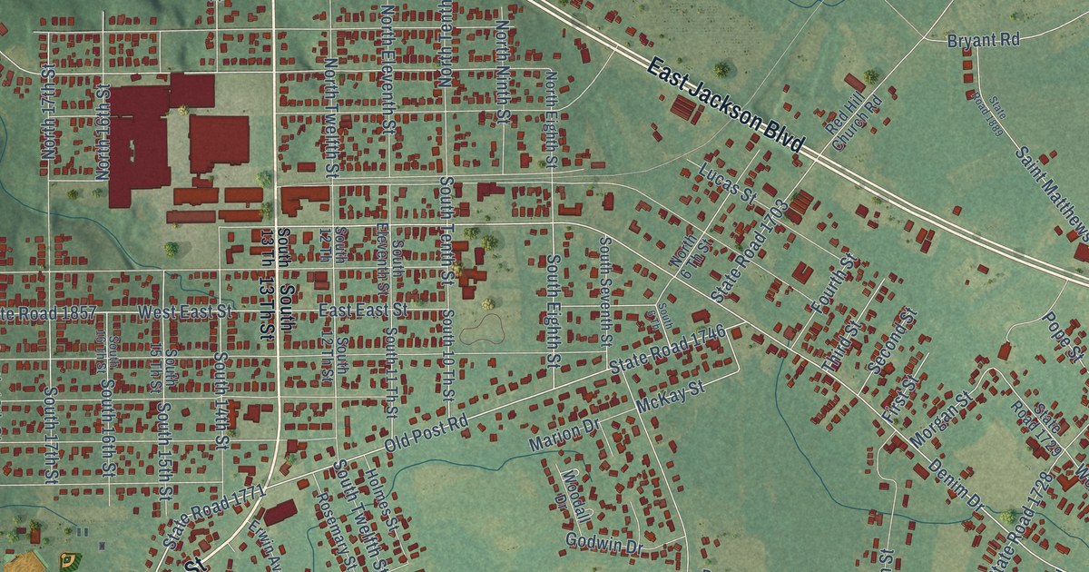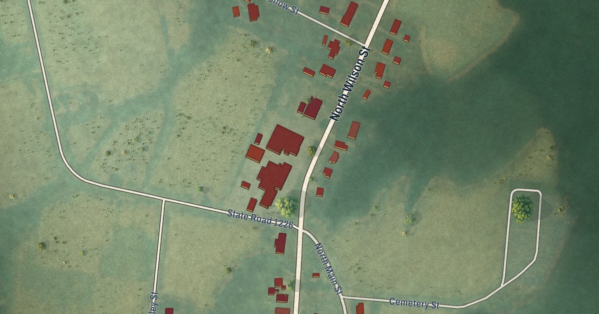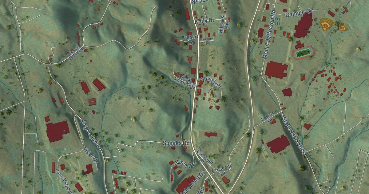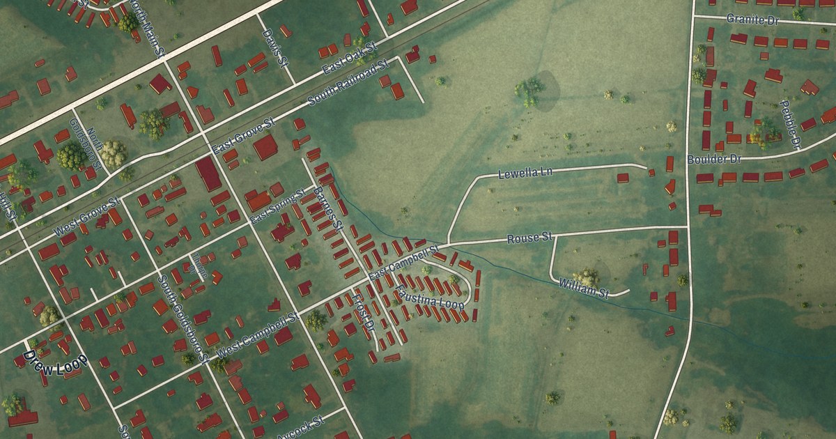
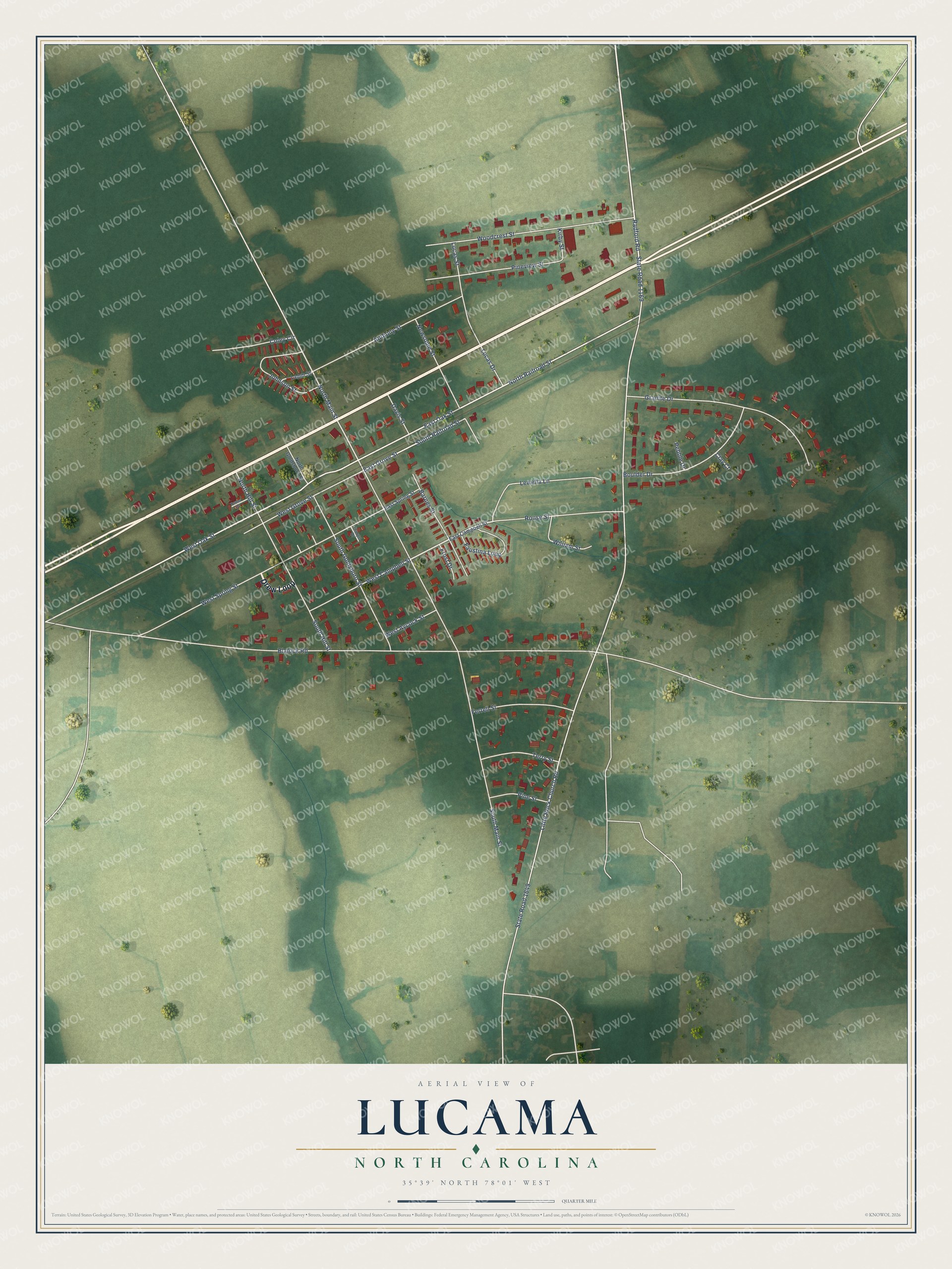
This beautifully detailed map of Lucama, North Carolina was created in 2026 using aerial imagery combined with modern topographical, census, street and landmark data. It's a modern aerial view of Lucama in Wilson County, North Carolina, that combines modern data with a vintage aesthetic. The roads feature printed names, and if you look closely you can find your exact house accurately shown in its correct location.
Explore an aerial view of Lucama, North Carolina
On this map you'll find Drew Loop, Radford Road, Rouse Street, East Oak Street, West Oak Street, North Main Street, East Grove Street, South Railroad Street, State Road 1169, Little Rock Church Road, State Road 1649, North Railroad Street, and more. Each red shape is a building, so zoom in on the preview and look for yours.
Here is a piece of Lucama history, in the words of the record. The North Carolina Gazetteer puts it this way: "Known earlier as Lucas's Crossroads. Name derived about 1883, according to tradition, by Josephus Daniels, then editor of a newspaper in Wilson, from the initial letters of the names of three friends: Lucy, Carrie, and Mary Borden."
Lucama is a town in Wilson County. The Census Bureau counted 1,036 people here in 2020.
Take a closer look at the Lucama map
Names on this map
These names are printed on this map.
Streets and roads: Drew Loop, Radford Road, Rouse Street, East Oak Street, West Oak Street, North Main Street, East Grove Street, South Railroad Street, State Road 1169, Little Rock Church Road, State Road 1649, North Railroad Street.
More street names, A to Z
Anthony Street, Barnes Street, Blalock Road, Boulder Drive, Clay Court, Coley Circle, Davis Street, East Campbell Street, East Spring Street, Faustina Loop, Ferrell Street, Frost Drive, Granite Drive, Johnson Street, Kirby Street, Lamm Street, Lewella Lane, Lucas Drive, Lucas Street, Newsome Street, North Goldsboro Street, North Hill Street, Pebble Drive, Pine Street, Pineview Street, South Goldsboro Street, South Hill Street, South Main Street, Terry Street, Thorpe Drive, Turner Drive, West Aycock Street, West Campbell Street, West Grove Street, West Spring Street, William Street, Woodcrest Street.
Created by KNOWOL in 2026. The buildings are small red shapes, the roads carry their printed names, and shaded relief shows the shape of the land. The title panel reads "AERIAL VIEW OF LUCAMA NORTH CAROLINA" with 35°39' NORTH 78°01' WEST.
It suits a den, a classroom or a front hall, and it makes a gift for anyone with Lucama roots. Open the preview and find the block you know. See sizes and frames for the Lucama map.