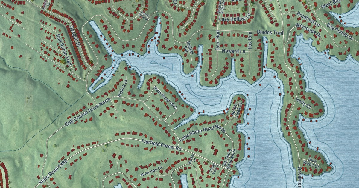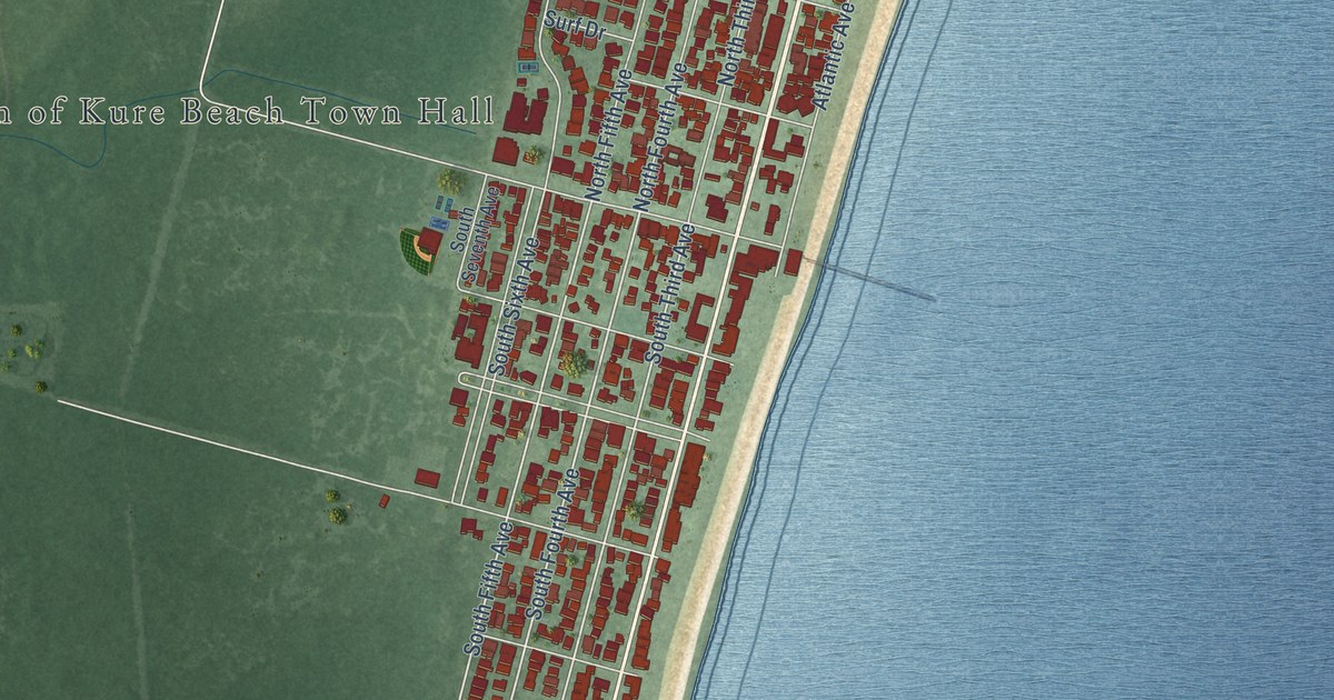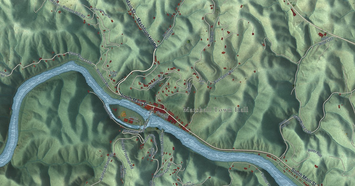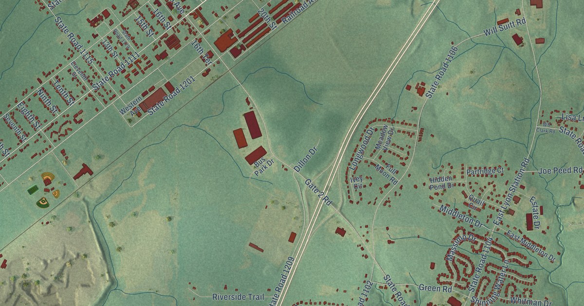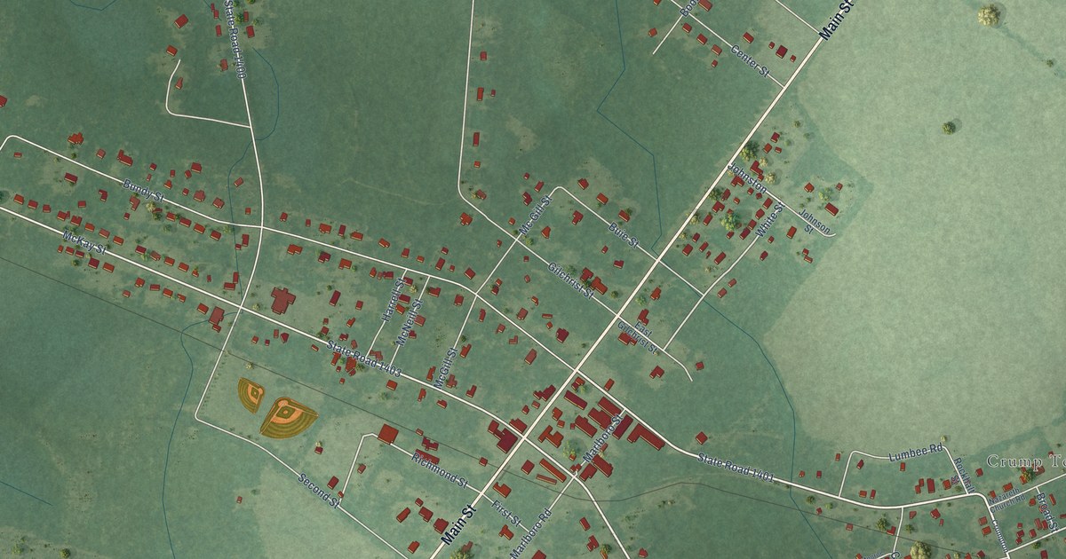
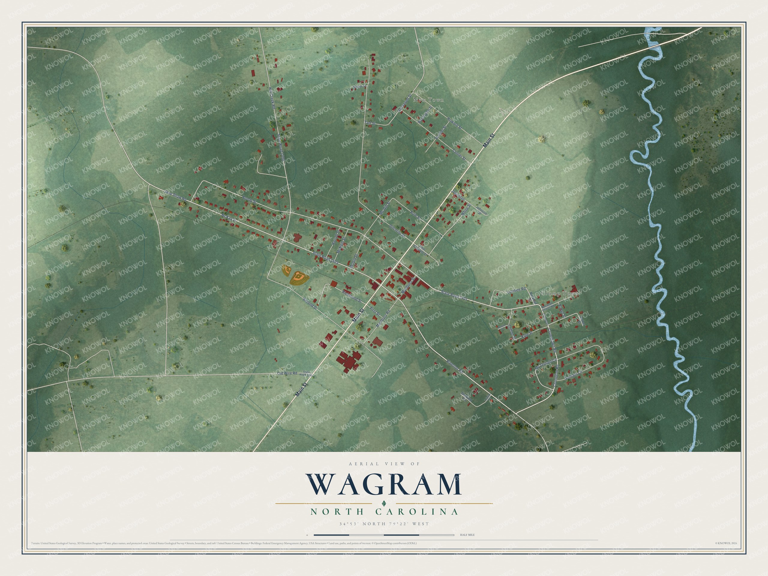
This beautifully detailed map of Wagram, North Carolina was created in 2026 using aerial imagery combined with modern topographical, census, street and landmark data. It's a modern aerial view of Wagram in Scotland County, North Carolina, that combines modern data with a vintage aesthetic. The roads feature printed names, and if you look closely you can find your exact house accurately shown in its correct location.
Explore an aerial view of Wagram, North Carolina
On this map you'll find New Town, Crump Town, Main Street, Riverton Road, Crumptown Road, State Road 1401, Bundy Street, McKay Street, White Street, Crumpton Road, Mc Donald Circle, Johnston, and more. Each red shape is a building, so zoom in on the preview and look for yours.
Every town has a first chapter, and Wagram is no exception. The record at dncr.nc.gov puts it this way: "The group’s one-room building, built in 1860 near Wagram and known still as Temperance Hall, is hexagonal with sixteen-foot sides."
Wagram is a town in Scotland County. The Census Bureau counted 615 people here in 2020.
Take a closer look at the Wagram map
Names on this map
These names are printed on this map.
Places: New Town and Crump Town.
Streets and roads: Main Street, Riverton Road, Crumptown Road, State Road 1401, Bundy Street, McKay Street, White Street, Crumpton Road, Mc Donald Circle, Johnston, Richmond Street, Kale Street.
More street names, A to Z
Amber Street, Booker Street, Broad Street, Brown Street, Buie Street, Center Street, Cotton Street, Crumpton, East Gilchrist Street, First Street, Gilchrist Street, Gorham Circle, Harrell Street, Hill Creek Road, Howard Street, Jane Shaw Road, Johnson Street, Louise Drive, Lumbee Road, Marlboro Road, Marlboro Street, Mc Gill Street, McGill Street, McNeill Street, Monroe Street, Nazareth Church Road, Old Wire Road, Rockhalt Street, Roosevelt Street, Second Street, Sheffield Circle, State Road 1400, State Road 1403, State Road 1405, Taft Street, Washington Street.
Created by KNOWOL in 2026. The buildings are small red shapes, the roads carry their printed names, and shaded relief shows the shape of the land. The title panel reads "AERIAL VIEW OF WAGRAM NORTH CAROLINA" with 34°53' NORTH 79°22' WEST.
Hang it in the hallway, the office or the cabin, or give it to someone who left Wagram and still calls it home. Open the preview and look for a street you know. See sizes and frames for the Wagram map.