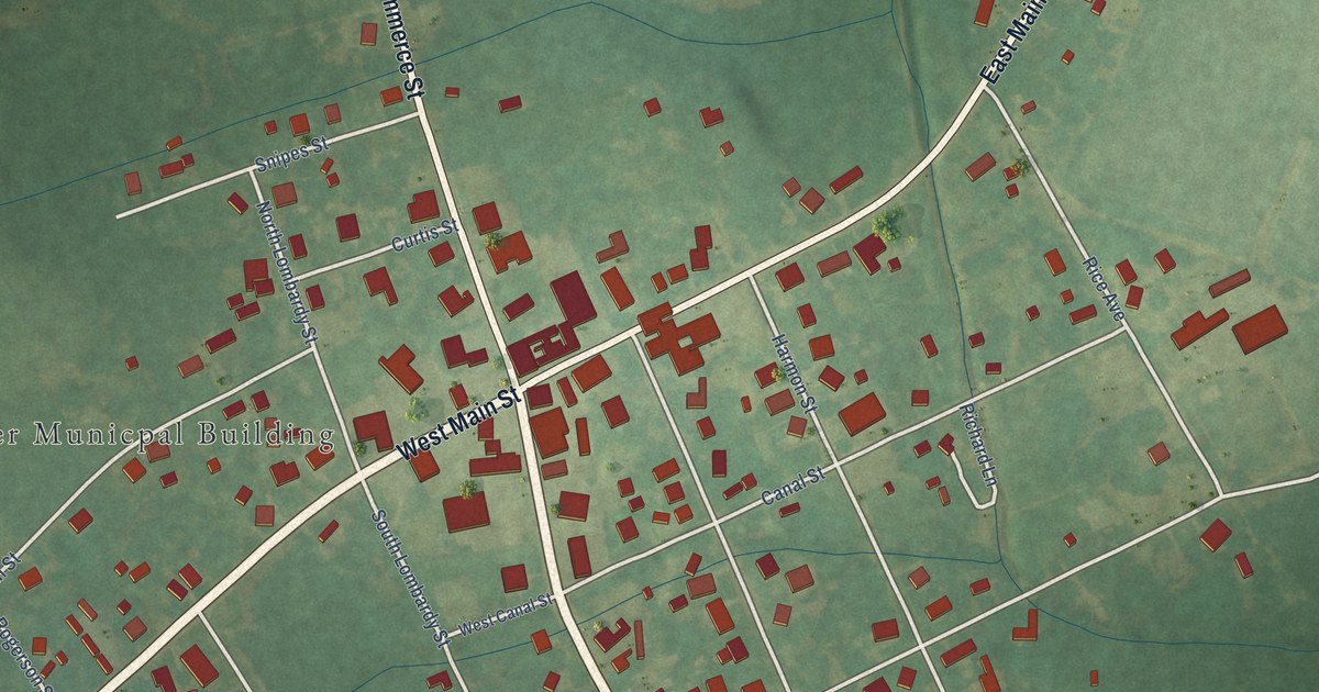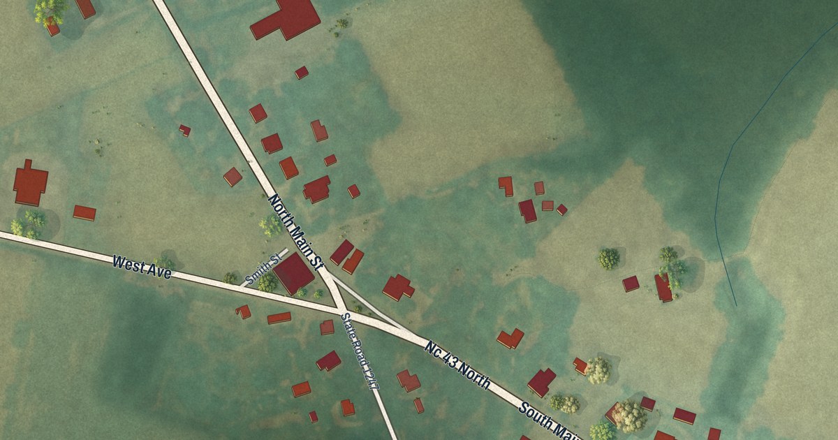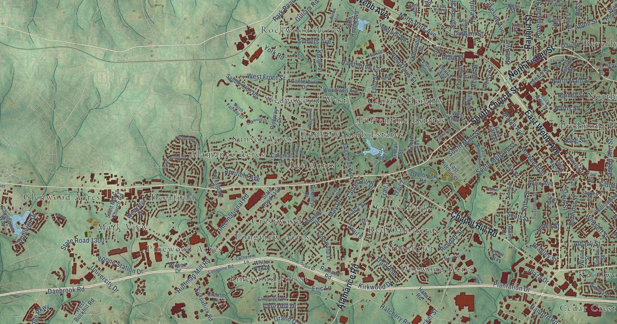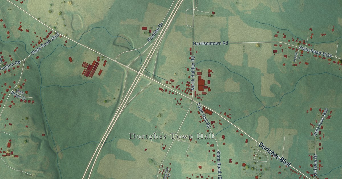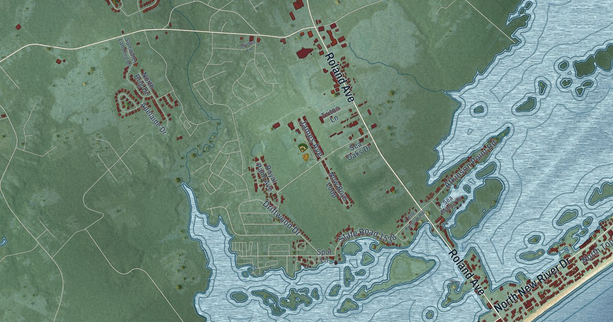
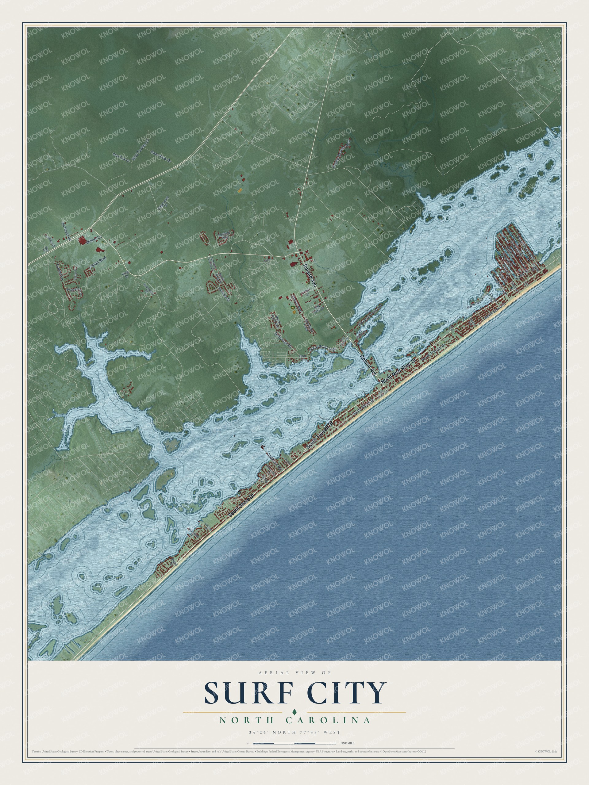
This beautifully detailed map of Surf City, North Carolina was created in 2026 using aerial imagery combined with modern topographical, census, street and landmark data. It's a modern aerial view of Surf City in Pender County, North Carolina, that combines modern data with a vintage aesthetic. The roads feature printed names, and if you look closely you can find your exact house accurately shown in its correct location.
Explore an aerial view of Surf City, North Carolina
On this map you'll find South Shore Drive, South Topsail Drive, Roland Avenue, North New River Drive, North Shore Drive, State Road 1538, North Topsail Drive, Cornel Lane, Seventh Street, Sixth Street, State Road 1605, Atkinson Point Road, and more. Each red shape is a building, so zoom in on the preview and look for yours.
Surf City is a town in Pender County. The Census Bureau counted 3,867 people here in 2020. The map prints the town name in its title panel, with the coordinates below it.
Take a closer look at the Surf City map
Names on this map
These names are printed on this map.
Streets and roads: South Shore Drive, South Topsail Drive, Roland Avenue, North New River Drive, North Shore Drive, State Road 1538, North Topsail Drive, Cornel Lane, Seventh Street, Sixth Street, State Road 1605, Atkinson Point Road.
More street names, A to Z
Adelaide Drive, Alston Boulevard, Atkinson Road, Bay Drive, Bland Drive, Blue Tick Court, Broadway Avenue, Canal Street, Craven Avenue, Cutlass Drive, Deer View Drive, Driftwood Drive, Edgecomb Drive, Eighth Street, Fairytale Lane, Fifth Street, First Street, Fourth Street, James Avenue, Jordan Lane, King Drive, Leyland Way, Little Kinston Road, Longsons Drive, Maritime Drive, McClammy Road, North Brig Drive, Now Boys Loop, Oceanaire Lane, Old House Road, Osier Drive, Pender Avenue, Poplar Branch Way, Roughleaf Trail, Royal Palm Avenue, Saltwater Landing Drive, Sandy Lane, Sea Manor Drive, Sea Oaks Drive, Second Street, South Boca Bay, Spot Lane, Stag Drive, State Road 1546, Third Street, Triton Lane, Wild Turkey Lane, Wilkes Lane.
Created by KNOWOL in 2026. The buildings are small red shapes, the roads carry their printed names, and shaded relief shows the shape of the land. The title panel reads "AERIAL VIEW OF SURF CITY NORTH CAROLINA" with 34°26' NORTH 77°33' WEST.
It looks right in a kitchen, an office or a den, and it's a gift for anyone who grew up in Surf City or moved away. Open the preview and find your street. See sizes and frames for the Surf City map.