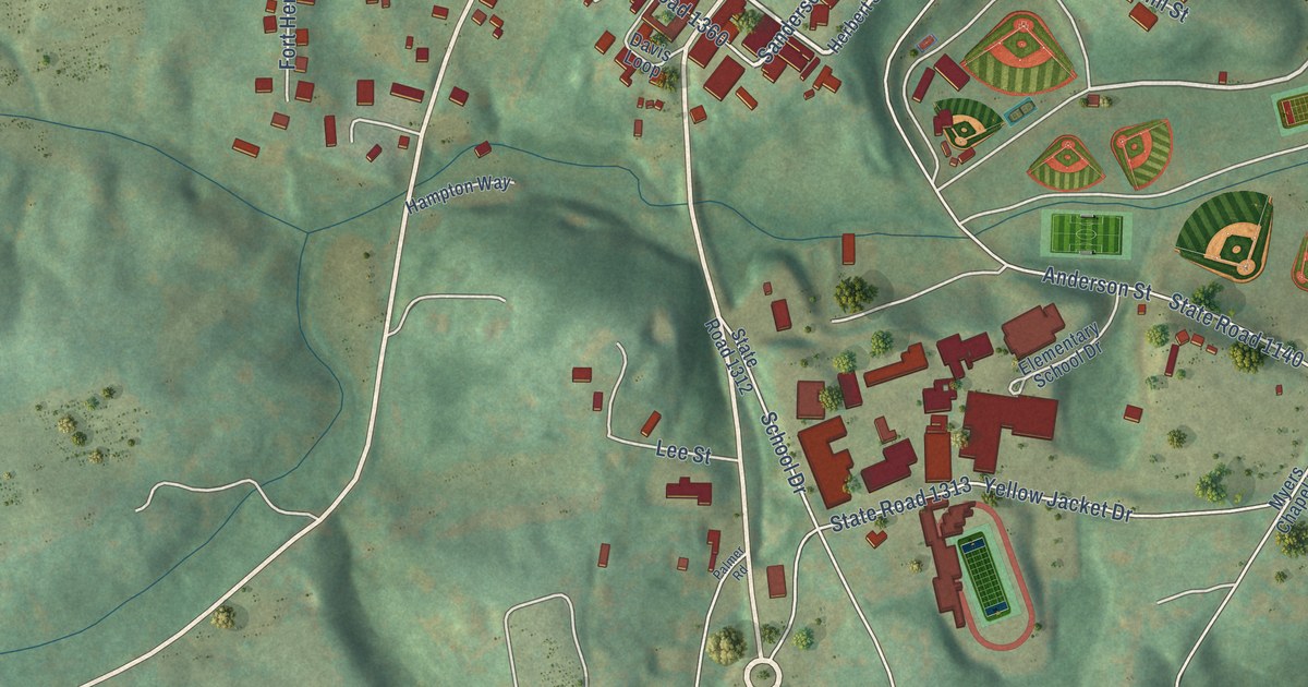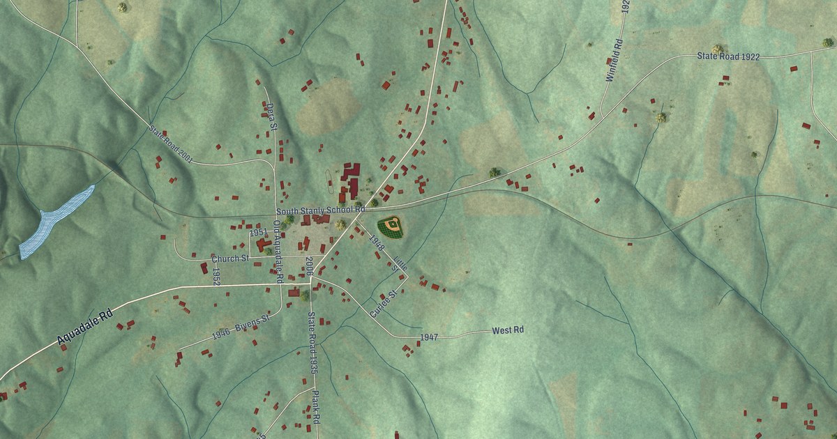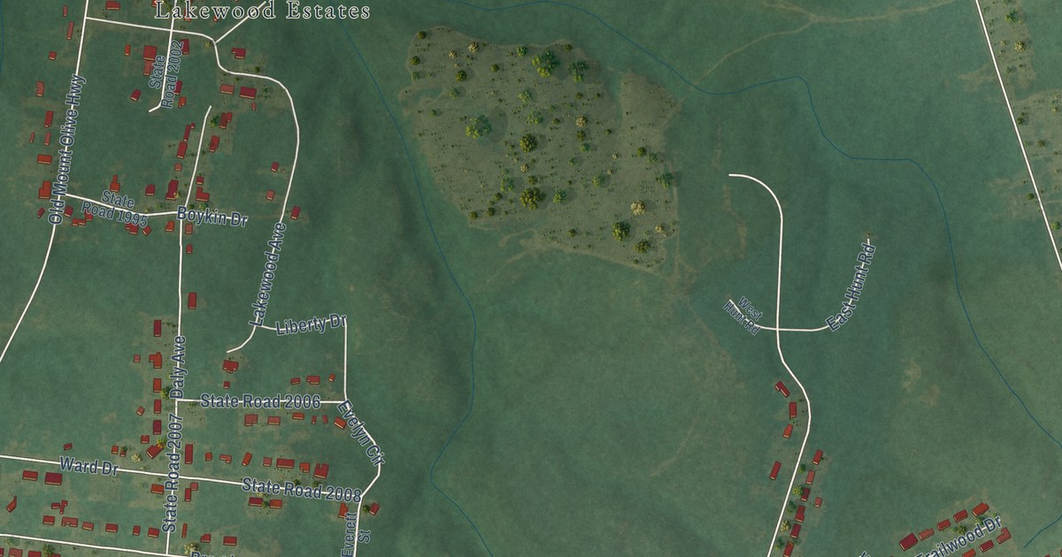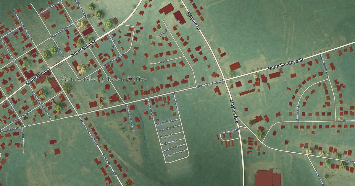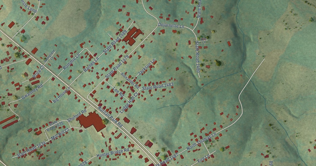
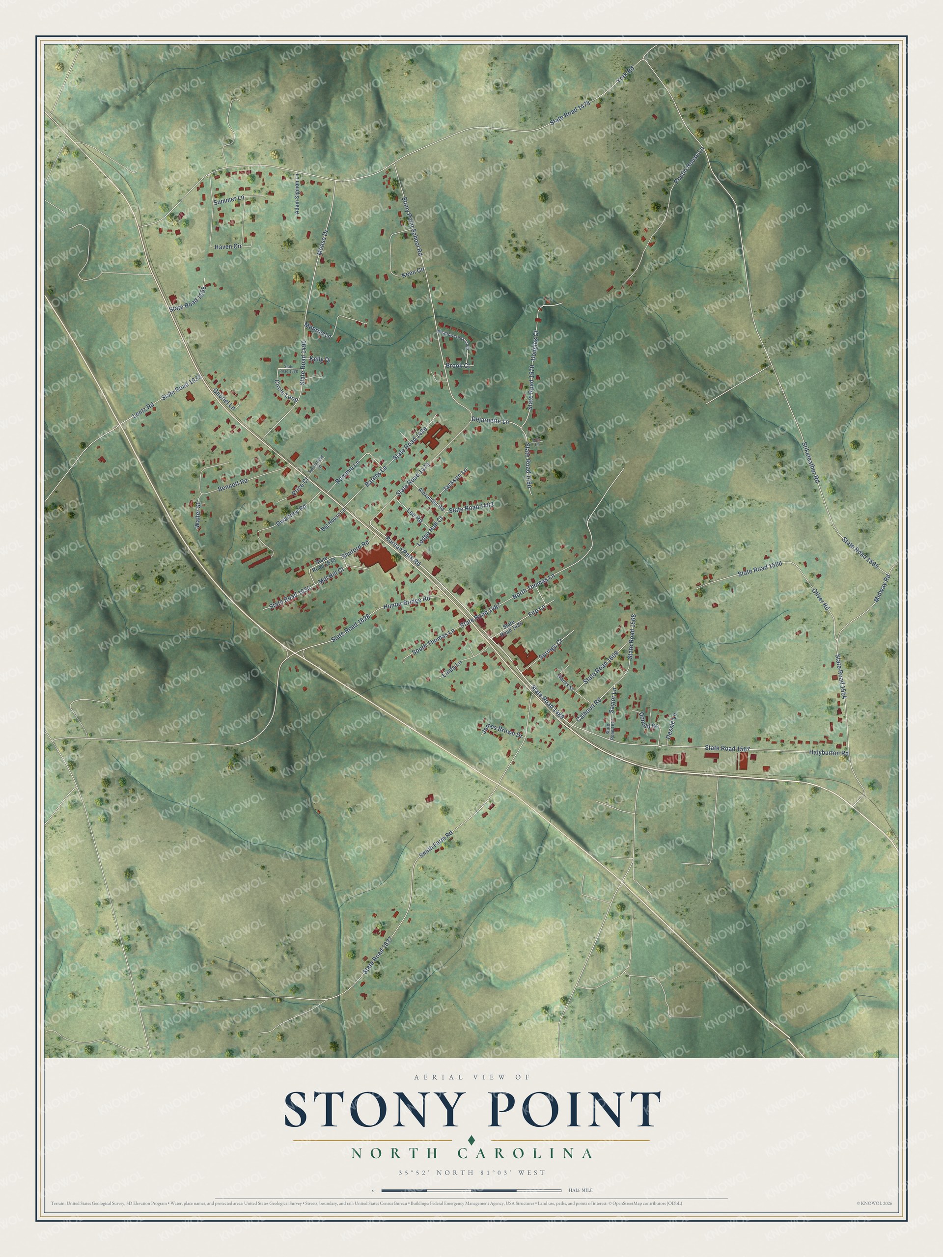
This beautifully detailed map of Stony Point, North Carolina was created in 2026 using aerial imagery combined with modern topographical, census, street and landmark data. It's a modern aerial view of Stony Point in Alexander County, North Carolina, that combines modern data with a vintage aesthetic. The roads feature printed names, and if you look closely you can find your exact house accurately shown in its correct location.
Explore an aerial view of Stony Point, North Carolina
On this map you'll find Halyburton Road, State Road 1567, Ruritan Park Road, State Road 1488, Stikeleather Road, State Road 1478, York Road, State Road 1479, Stony Point School Road, Smith Farm Road, State Road 1637, State Road 1487, and more. Each red shape is a building, so zoom in on the preview and look for yours.
Stony Point is a community in Alexander County. The Census Bureau counted 1,146 people here in 2020. Stony Point sits about 3 miles southeast of Hiddenite, 8 miles southeast of Taylorsville and 9 miles southwest of Love Valley. The map prints the town name in its title panel, with the coordinates below it.
Take a closer look at the Stony Point map
Names on this map
These names are printed on this map.
Streets and roads: Halyburton Road, State Road 1567, Ruritan Park Road, State Road 1488, Stikeleather Road, State Road 1478, York Road, State Road 1479, Stony Point School Road, Smith Farm Road, State Road 1637, State Road 1487.
More street names, A to Z
Adam Sigmon Lane, Alexander Road, Barnes Lane, Bennett Road, Big House Lane, Brook Court, Calhoun Road, Circle Loop, Dejarnette Lane, Dessie Lane, Donald Drive, Douglas Court, Fire Lane, Gabriel Lane, Gwaltney Road, Harris Street, Haven Circle, Hunter Bridge Road, Jackson Lane, James Brown Drive, Keen Circle, Kelly Drive, Kyle Lane, Lee Road, Lentz Road, Linda Lane, Lodge Hall Court, Meadowcreek Loop, Midway Road, Mill Hill Court, Monroe Lane, Moose Drive, North Thomas Lane, Oliver Road, Poutin House Lane, Price Court, Rommie Lane, Saylor Lane, Shuford Road, South Thomas Lane, Springfield Lane, Springs Court, State Road 1480, State Road 1483, State Road 1486, State Road 1489, State Road 1490, State Road 1528, State Road 1554, State Road 1558, State Road 1565, State Road 1566, State Road 1568, State Road 1570, State Road 1609, State Road 1628, State Road 1633, State Road 1634, State Road 1635, State Road 1647, Summer Lane, Walter Street.
See it on a wall
The Stony Point map as a framed print. Swipe for more.


Created by KNOWOL in 2026. The buildings are small red shapes, the roads carry their printed names, and shaded relief shows the shape of the land. The title panel reads "AERIAL VIEW OF STONY POINT, NORTH CAROLINA" with 35°52' NORTH 81°03' WEST.
Hang it in the hallway, the office or the cabin, or give it to someone who left Stony Point and still calls it home. Open the preview and look for a street you know. See sizes and frames for the Stony Point map.