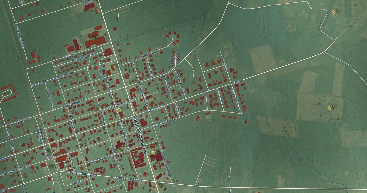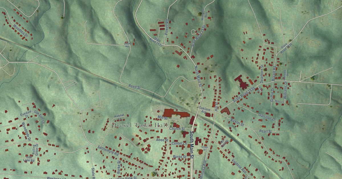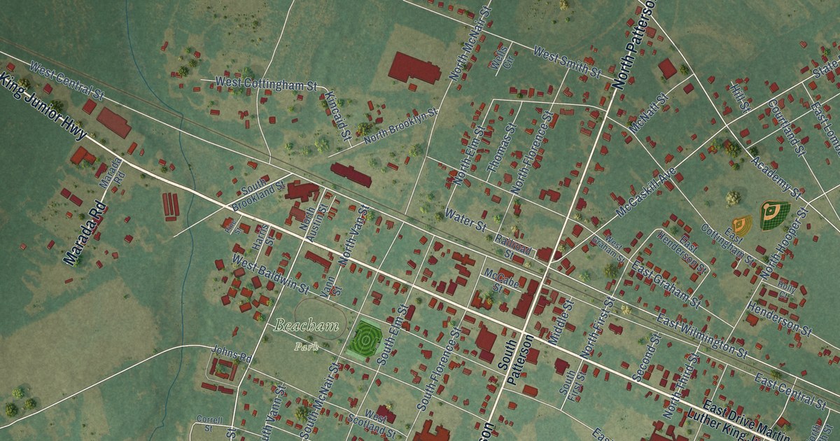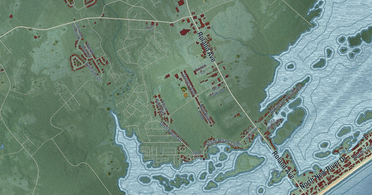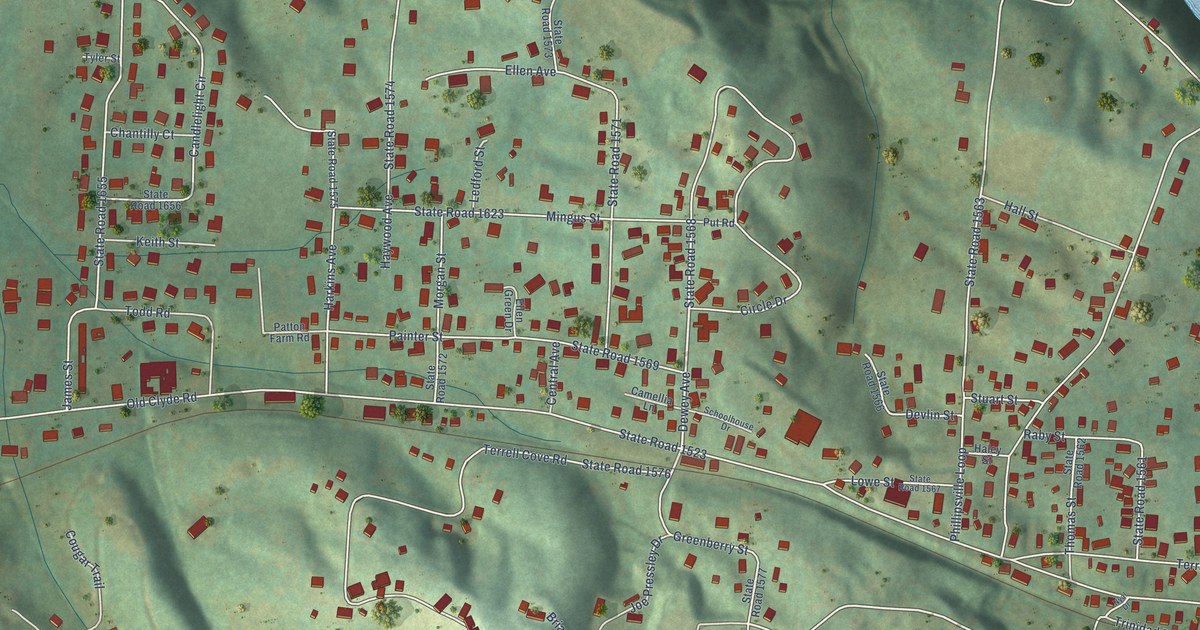
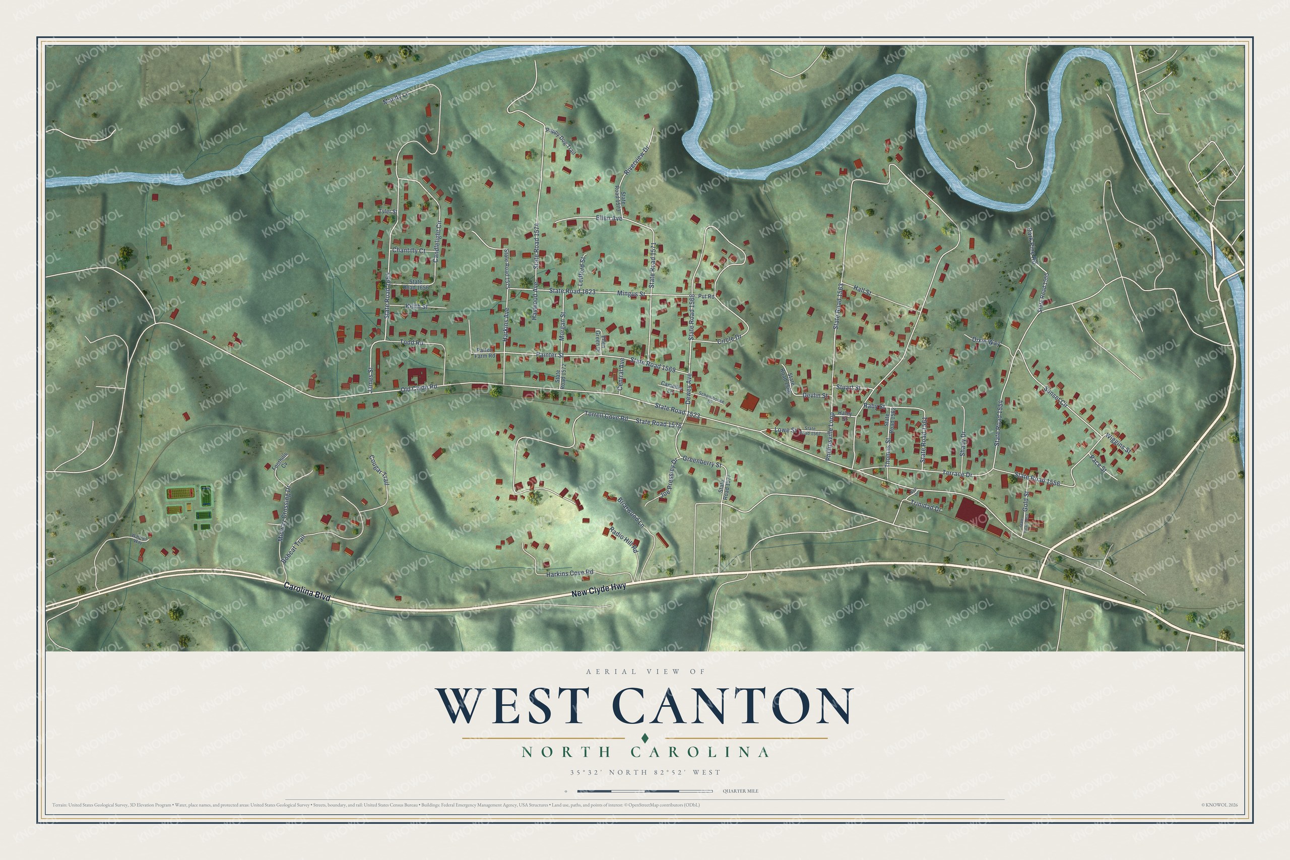
This beautifully detailed map of West Canton, North Carolina was created in 2026 using aerial imagery combined with modern topographical, census, street and landmark data. It's a modern aerial view of West Canton in Haywood County, North Carolina, that combines modern data with a vintage aesthetic. The roads feature printed names, and if you look closely you can find your exact house accurately shown in its correct location.
Explore an aerial view of West Canton, North Carolina
On this map you'll find Carolina Boulevard, New Clyde Highway, Dewey Avenue, Old Clyde Road, State Road 1523, Phillipsville Loop, State Road 1563, State Road 1568, State Road 1576, Terrell Cove Road, State Road 1554, Terrace Drive, and more. Each red shape is a building, so zoom in on the preview and look for yours.
West Canton is a community in Haywood County. The Census Bureau counted 1,265 people here in 2020. The map prints the town name in its title panel, with the coordinates below it.
Take a closer look at the West Canton map
Names on this map
These names are printed on this map.
Streets and roads: Carolina Boulevard, New Clyde Highway, Dewey Avenue, Old Clyde Road, State Road 1523, Phillipsville Loop, State Road 1563, State Road 1568, State Road 1576, Terrell Cove Road, State Road 1554, Terrace Drive.
More street names, A to Z
Bobcat Trail, Briarwood Lane, Camellia Lane, Candlelight Circle, Central Avenue, Chantilly Court, Circle Drive, Cougar Trail, Dark Pine Road, Devlin Street, Dixie Way, Ellen Avenue, Ellen Green Drive, Foothills Cv, Gold Street, Greenberry Street, Haley Street, Hall Street, Harkins Avenue, Harkins Cove Road, Haywood Avenue, James Street, Joe Pressley Drive, Keith Street, Ledford Street, Lowe Street, Mandy Lane, Midway Crossing Drive, Mingus Street, Morgan Street, Nyal Drive, Pace Street, Painter Street, Patton Farm Road, Puppy Dog Trail, Put Road, Raby Street, Radio Hill Road, Riverview Drive, Schoolhouse Drive, Shady Drive, State Road 1555, State Road 1556, State Road 1560, State Road 1561, State Road 1562, State Road 1566, State Road 1567, State Road 1569, State Road 1571, State Road 1572, State Road 1573, State Road 1574, State Road 1575, State Road 1577, State Road 1623, State Road 1655, State Road 1656, Stuart Street, Sunset Circle, Thomas Street, Todd Road, Trinidad Drive, Tyler Street, Waitsel Way, Wiggins Street.
See it on a wall
The West Canton map as a framed print. Swipe for more.


Created by KNOWOL in 2026. The buildings are small red shapes, the roads carry their printed names, and shaded relief shows the shape of the land. The title panel reads "AERIAL VIEW OF WEST CANTON, NORTH CAROLINA" with 35°32' NORTH 82°52' WEST.
It looks right in a kitchen, an office or a den, and it's a gift for anyone who grew up in West Canton or moved away. Open the preview and find your street. See sizes and frames for the West Canton map.