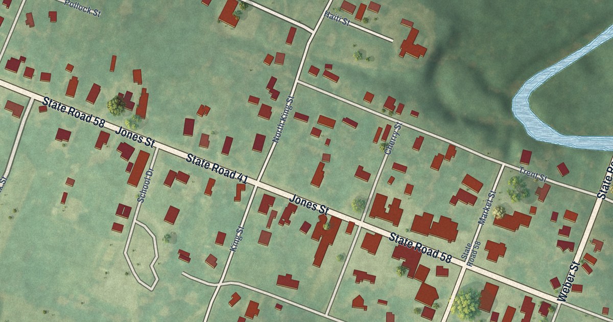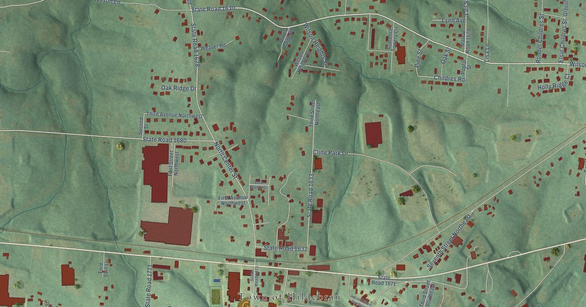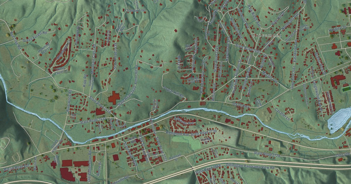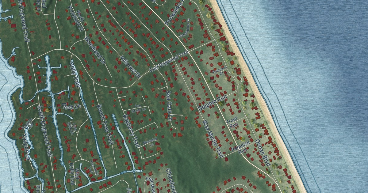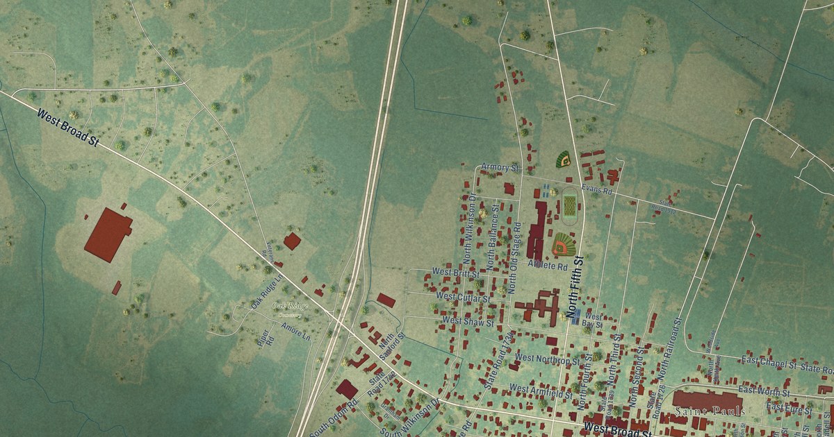
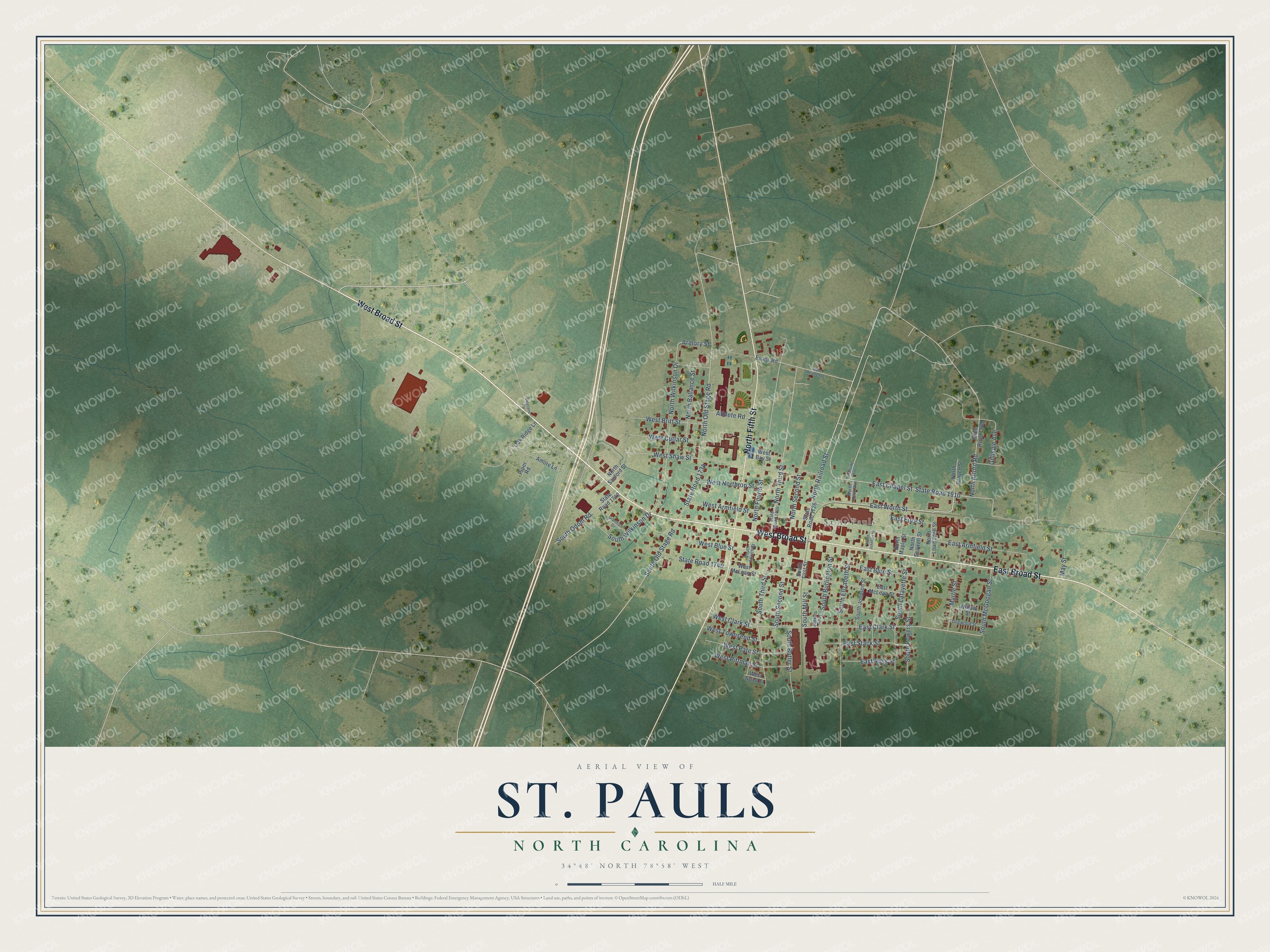
This beautifully detailed map of St. Pauls, North Carolina was created in 2026 using aerial imagery combined with modern topographical, census, street and landmark data. It's a modern aerial view of St. Pauls in Robeson County, North Carolina, that combines modern data with a vintage aesthetic. The roads feature printed names, and if you look closely you can find your exact house accurately shown in its correct location.
Explore an aerial view of St. Pauls, North Carolina
On this map you'll find Saint Pauls, Oak Ridge Cemetery, West Broad Street, East Broad Street, North Fifth Street, East Worth Street, North Railroad Street, West Clark Street, East Clark Street, South Third Street, South Burlington Street, North Fourth Street, and more. Each red shape is a building, so zoom in on the preview and look for yours.
Every town has a first chapter, and St. Pauls is no exception. The North Carolina Gazetteer puts it this way: "Post office est. there in 1832 was named Tutons for first postmaster Oliver Tuton; changed to St. Pauls about 4 years later. Originally the settlement centered on a stage depot on the Fayetteville-Lumberton road about 3 mi. from present site. When the railroad came through about 1900, the settlement drifted S to center around the depot."
St. Pauls is a town in Robeson County. The Census Bureau counted 2,045 people here in 2020.
Take a closer look at the St. Pauls map
Names on this map
These names are printed on this map.
Places: Saint Pauls and Oak Ridge Cemetery.
Streets and roads: West Broad Street, East Broad Street, North Fifth Street, East Worth Street, North Railroad Street, West Clark Street, East Clark Street, South Third Street, South Burlington Street, North Fourth Street, South Old Stage Road, North Wilkinson Drive.
More street names, A to Z
Amore Lane, Armory Street, Athlete Road, Dogwood Street, East Armfield Street, East Blue Street, East Chapel Street, East Eure Street, East McLean Street, East Ross Street, East Stack Street, Evans Road, Gillispie Avenue, Grantham Drive, Jenkins Alley, May Street, Myrtle Street, North Alford Road, North Ballance Street, North Grayce Street, North Johnson Street, North Keith Avenue, North Louisadell Street, North Maple Street, North Old Stage Road, North Sanford Street, North Seawell Street, North Second Street, North Third Street, Oak Ridge Lane, Piper Road, South Butler Street, South Elizabeth Street, South First Street, South Fourth Street, South Johnson Street, South Lafayette Street, South McGoogan Street, South Mill Street, South Odom Road, South Powers Street, South Second Street, South Wilkinson Drive, State Road 1726, State Road 1734, State Road 1739, State Road 1740, State Road 1742, State Road 1909, State Road 1910, State Road 1912, Veterans Road, West Armfield Street, West Bay Street, West Blue Street, West Britt Street, West Cutlar Street, West McLean Street, West Northrop Street, West Pate Street, West Pittman Street, West Shaw Street, West Sylva Street, West Townsend Street, Willow Street, Woodside Avenue.
Created by KNOWOL in 2026. The buildings are small red shapes, the roads carry their printed names, and shaded relief shows the shape of the land. The title panel reads "AERIAL VIEW OF ST. PAULS NORTH CAROLINA" with 34°48' NORTH 78°58' WEST.
Hang it in the hallway, the office or the cabin, or give it to someone who left St. Pauls and still calls it home. Open the preview and look for a street you know. See sizes and frames for the St. Pauls map.