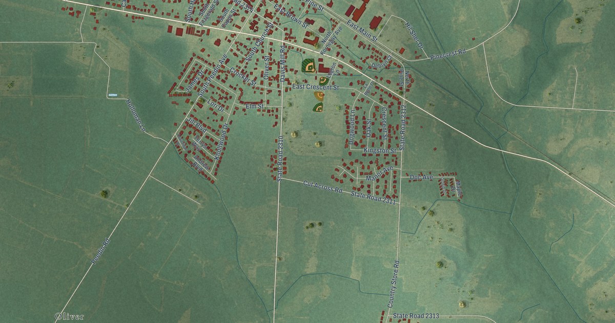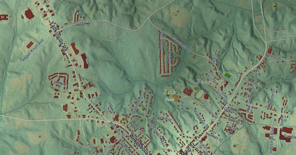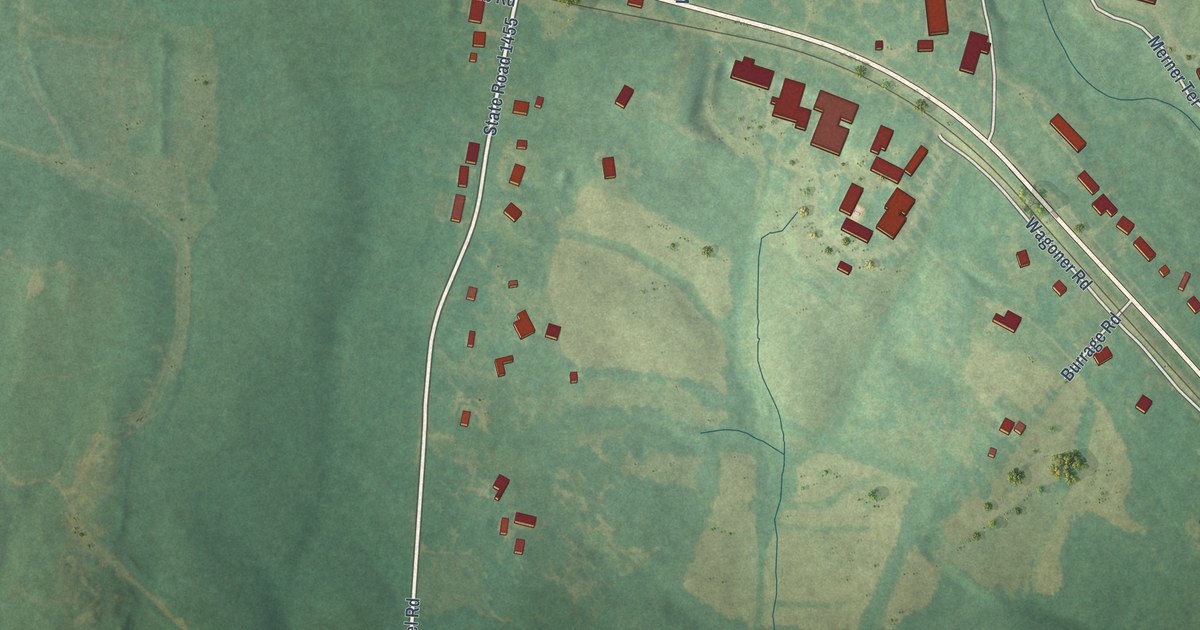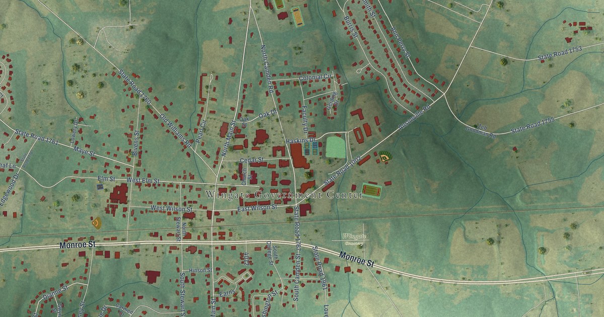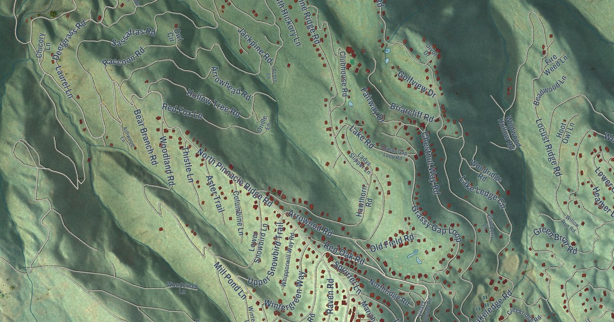
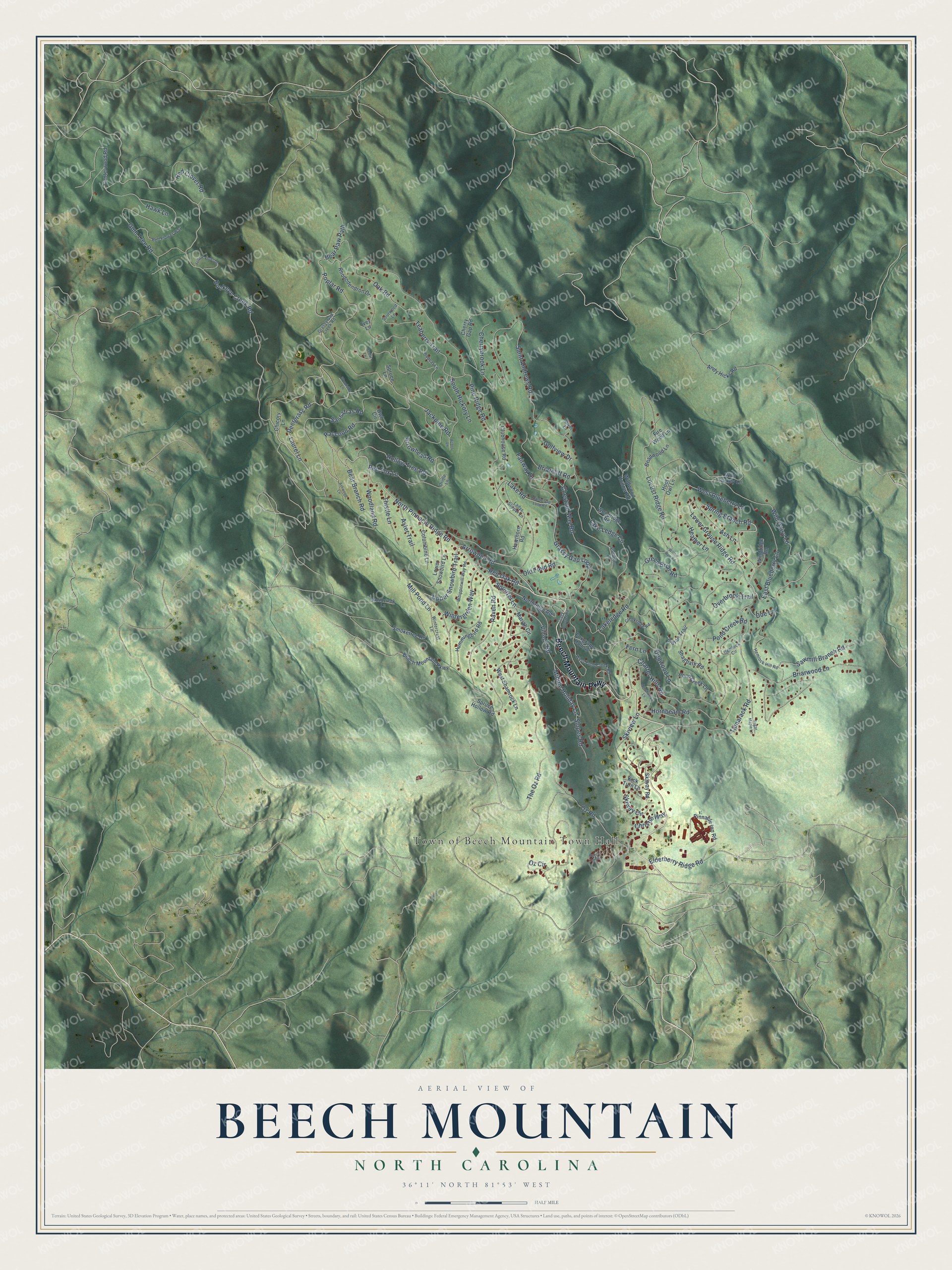
This beautifully detailed map of Beech Mountain, North Carolina was created in 2026 using aerial imagery combined with modern topographical, census, street and landmark data. It's a modern aerial view of Beech Mountain in Watauga County, North Carolina, that combines modern data with a vintage aesthetic. The roads feature printed names, and if you look closely you can find your exact house accurately shown in its correct location.
Explore an aerial view of Beech Mountain, North Carolina
On this map you'll find Town of Beech Mountain Town Hall, Beech Mountain Parkway, North Pinnacle Ridge Road, Arrowood Road, Upper Snowbird Trail, Wild Daisy Lane, Mill Pond Lane, Squirrel Lane, Buckeye Creek Road, Oz Road, Spring Branch Road, The Oz Road, and more. Each red shape is a building, so zoom in on the preview and look for yours.
Beech Mountain has a story worth telling. The Town of Beech Mountain puts it this way: "The Town of Beech Mountain began as a private resort development in the mid 1960's. Grover Robbins, of Blowing Rock, NC, started the resort along with 40 other investors."
Beech Mountain is a town in Watauga County. The Census Bureau counted 675 people here in 2020.
Take a closer look at the Beech Mountain map
Names on this map
These names are printed on this map.
Places: Town of Beech Mountain Town Hall.
Streets and roads: Beech Mountain Parkway, North Pinnacle Ridge Road, Arrowood Road, Upper Snowbird Trail, Wild Daisy Lane, Mill Pond Lane, Squirrel Lane, Buckeye Creek Road, Oz Road, Spring Branch Road, The Oz Road, Pine Ridge Road.
More street names, A to Z
Acorn Lane, Andy Hicks Road, Arrowhead Road, Ash Lane, Ashwood Lane, Aster Trail, Beadwood Lane, Bear Branch Road, Bear Paw Path, Beech Top Road, Bell Flower Way, Birchwood Lane, Bobcat Lane, Briarcliff Road, Briarwood Lane, Canterwood Road, Cedar Lane, Charter Hills Road, Cherrybrook Lane, Cherry Gap Road, Chestnut Way Road, Chicory Lane, Christie Way, Clubhouse Road, Columbine Lane, Creekridge Road, Deergrass Road, Divot Drive, Doe Lane, Dogwood Lane, East Blueberry Lane, Elderberry Ridge Road, Fairway Drive, Fern Lane, Fire Weed Lane, Foxgrape Hollow, Golfview Drive, Grassy Gap Creek Road, Grassy Gap Loop, Grassy Gap Loop Road, Green Briar Road, Gum Tree Road, Hawk Lane, Hawthorn Road, Heather Lane, Hemlock Circle, Hemlock Hill Road, Hollow Tree Road, Hoot Owl Lane, Hornbeam Road, Hummingbird Road, Indian Trail, Ivey Lane, Jackpine Road, Kick Turn Lane, Ladys Slipper Lane, Lake Ledge Circle, Lakeledge Road, Lake Road, Laurel Lane, Locust Ridge Road, Lower Grouse Ridge Road, Lower Snowbird Lane, Mariah Circle, Middle Holiday Lane, Northridge Road, Oak Road, Old Field Road, Oriole Lane, Overbrook Trail, Owl Circle, Oz Circle, Pinnacle Inn Road, Pond Creek Lane, Pond Creek Road, Poplar Road, Raccoon Road, Raven Road, Red Clover Road, Red Fox Lane, Red Oak Road, Rhododendron Drive, Saint Andrews Road, Sassafras Road, Sawmill Branch Road, Shagbark Road, Skiview Lane, Skiway Circle, Skiway Road, Slopes Road, Smoketree Road, Sourwood Lane, South Hickory Lane, Spruce Hollow Road, Spruce Lane, Strawberry Lane, Sugar Maple Lane, Tamarack Road, Teaberry Trail, Thistle Lane, Village Cluster Road, Village Road, West Blueberry Lane, West Pond Creek Road, West Shamrock Lane, Whipporwill Way Road, Wild Turkey Lane, Wildwood Hollow Road, Willow Run Road, Windridge Road, Wintercrest Lane, Wintergreen Way, Woodcreek Lane, Woodland Road, Woodridge Road, Woodside Lane, Yellow Violet Drive.
Created by KNOWOL in 2026. The buildings are small red shapes, the roads carry their printed names, and shaded relief shows the shape of the land. The title panel reads "AERIAL VIEW OF BEECH MOUNTAIN NORTH CAROLINA" with 36°11' NORTH 81°53' WEST.
It looks right in a kitchen, an office or a den, and it's a gift for anyone who grew up in Beech Mountain or moved away. Open the preview and find your street. See sizes and frames for the Beech Mountain map.