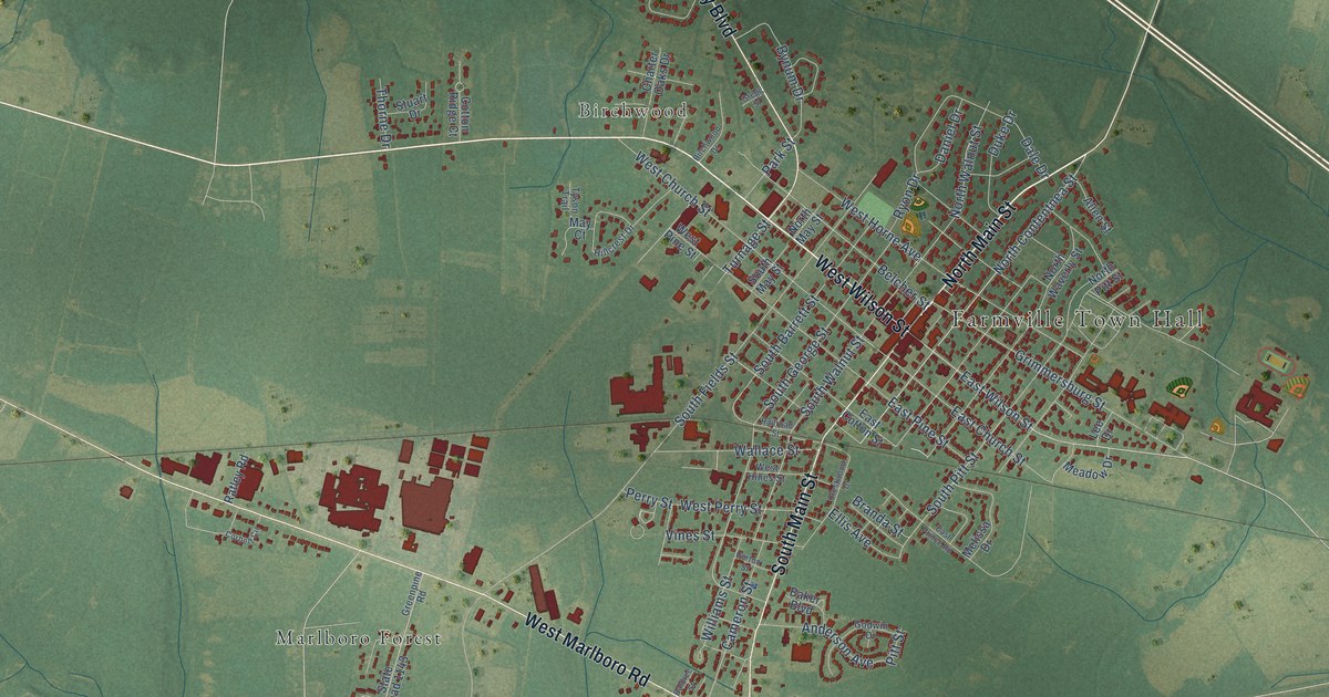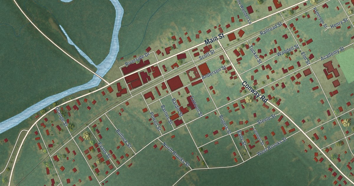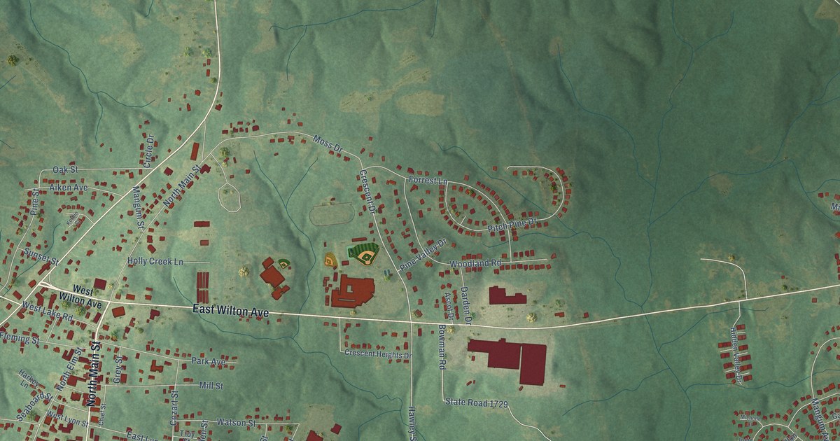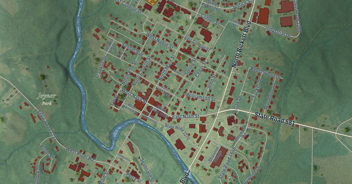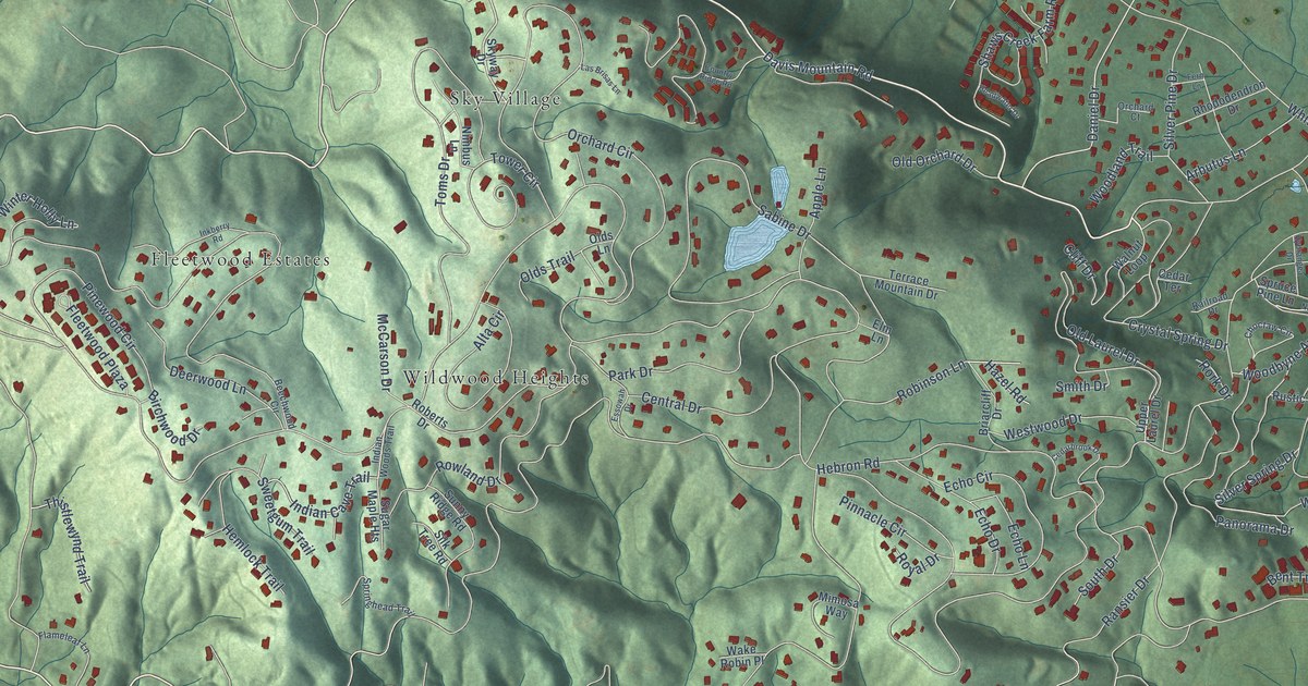
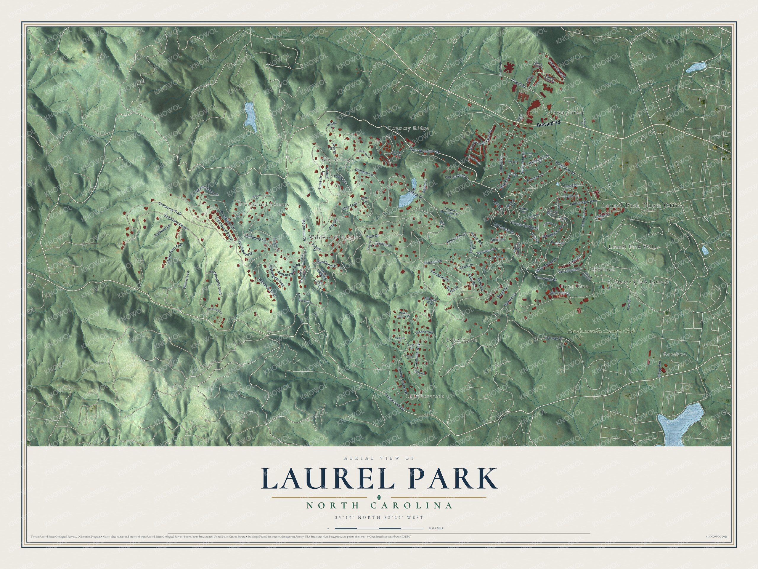
This beautifully detailed map of Laurel Park, North Carolina was created in 2026 using aerial imagery combined with modern topographical, census, street and landmark data. It's a modern aerial view of Laurel Park in Henderson County, North Carolina, that combines modern data with a vintage aesthetic. The roads feature printed names, and if you look closely you can find your exact house accurately shown in its correct location.
Explore an aerial view of Laurel Park, North Carolina
On this map you'll find Laurel Park Town Office, Bent Tree, Country Club Estates, Country Ridge, Echo Acres, Fleetwood Estates, Laurel Park Villas, Overlook, Rosebud, Sky Village, Timbercreek, Town Forest, and more. Each red shape is a building, so zoom in on the preview and look for yours.
Here is a piece of Laurel Park history, in the words of the record. The North Carolina Historic Preservation Office puts it this way: "On August 25, 1924 Laurel Park Estates was chartered as a North Carolina Corporation, and re-platted in 1927 as an exclusive residential area much larger than the initial development."
Laurel Park is a town in Henderson County. The Census Bureau counted 2,250 people here in 2020.
Take a closer look at the Laurel Park map
Names on this map
These names are printed on this map.
Places: Laurel Park Town Office, Bent Tree, Country Club Estates, Country Ridge, Echo Acres, Fleetwood Estates, Laurel Park Villas, Overlook, Rosebud, Sky Village, Timbercreek, Town Forest, Wildwood Heights and Hendersonville Country Club.
Streets and roads: Brevard Road, Finley Cove Road, Laurel Park Highway, Hebron Road, Davis Mountain Road, White Pine Drive, Orchard Circle, Somersby Parkway, Sabine Drive, Timber Creek Road, Ransier Drive, Lake Drive.
More street names, A to Z
Alta Circle, Apple Lane, Arbutus Lane, Beechwood Circle, Bent Tree Drive, Birchwood Drive, Briarcliff Drive, Camellia Way, Canal Drive, Cedarbrook Drive, Cedar Terrace, Central Drive, Choctaw Circle, Cliff Drive, Country Ridge Road, Crossvine Trail, Crystal Spring Drive, Daniel Drive, Davis Circle, Deerwood Lane, Dellwood Terrace, East Park Place, Echo Circle, Echo Drive, Echo Lane, Elm Lane, Essowah Drive, Fairway Drive, Fern Lane, Flameleaf Lane, Fleetwood Plaza, Foxglove Road, Hazel Road, Headwater Drive, Hemlock Trail, Howell Lane, Hyacinth Lane, Hydrangea Drive, Indian Cave Trail, Indian Woods Trail, Indigo Way, Inkberry Road, Ives Street, Ivywood Lane, Jasmine Place, Kermit Edney Drive, Ladys Fern Trail, Lakemoor Lane, Las Brisas Lane, Laurel Park Place, McCarson Drive, Mimosa Way, Mulberry Court, Nimbus Lane, Norfolk Lane, North Park Place, Old Laurel Drive, Old Orchard Drive, Olds Lane, Olds Trail, Orchard Court, Panorama Drive, Park Drive, Pinewood Circle, Pinnacle Circle, Pisgah Drive, Primrose Lane, Railroad Drive, Reisha Lane, Rhododendron Drive, Roberts Drive, Robinson Lane, Rork Drive, Rowland Drive, Royal Drive, Rustic Drive, Shaws Creek Farm Road, Silk Tree Road, Silver Pine Drive, Silver Spring Drive, Skyway Drive, Smith Drive, South Drive, South Park Place, Springhead Trail, Spruce Pine Lane, Stepp Avenue, Sugar Maple Heights, Sunny Ridge Road, Sweetgum Trail, Terrace Mountain Drive, Thistlewynd Trail, Toms Drive, Tower Circle, Trellis Lane, Upper Laurel Drive, Wake Robin Place, Walnut Loop, Westwood Drive, Wild Iris Lane, Winter Holly Lane, Woodbyne Avenue, Woodbyne Lane, Woodland Trail.
Created by KNOWOL in 2026. The buildings are small red shapes, the roads carry their printed names, and shaded relief shows the shape of the land. The title panel reads "AERIAL VIEW OF LAUREL PARK NORTH CAROLINA" with 35°19' NORTH 82°29' WEST.
It suits a den, a classroom or a front hall, and it makes a gift for anyone with Laurel Park roots. Open the preview and find the block you know. See sizes and frames for the Laurel Park map.