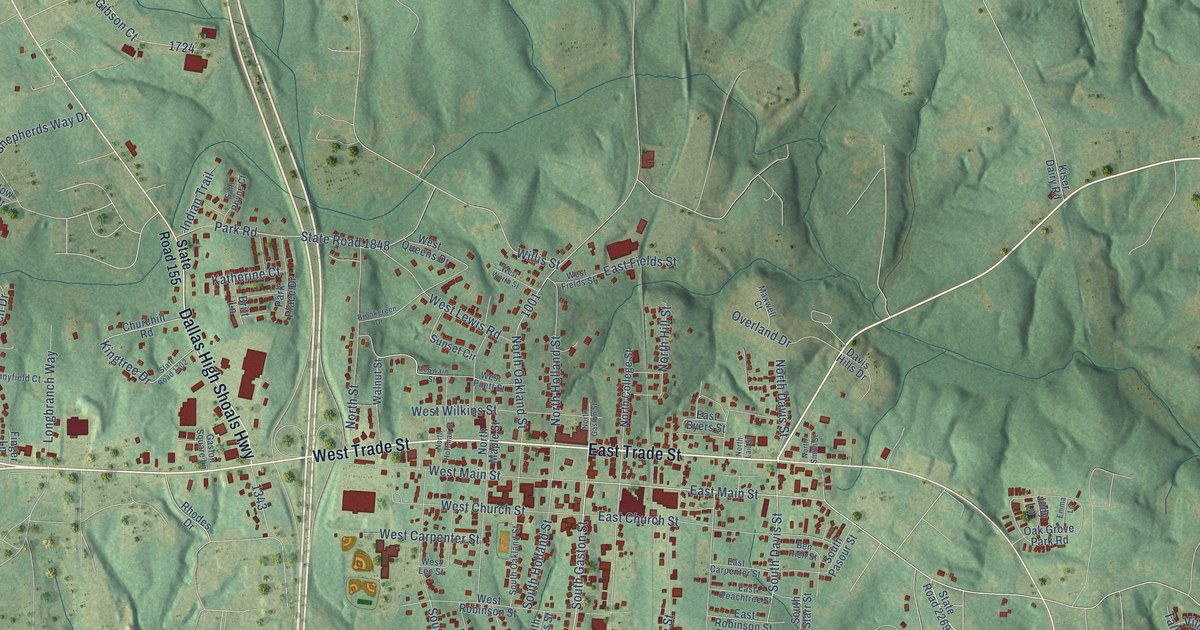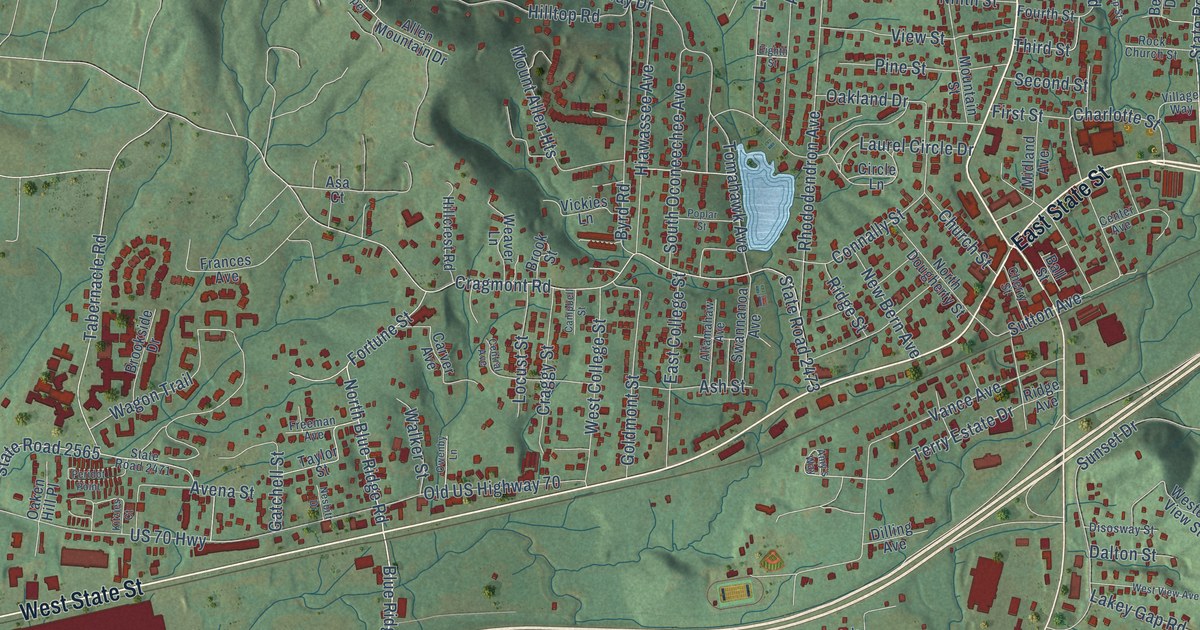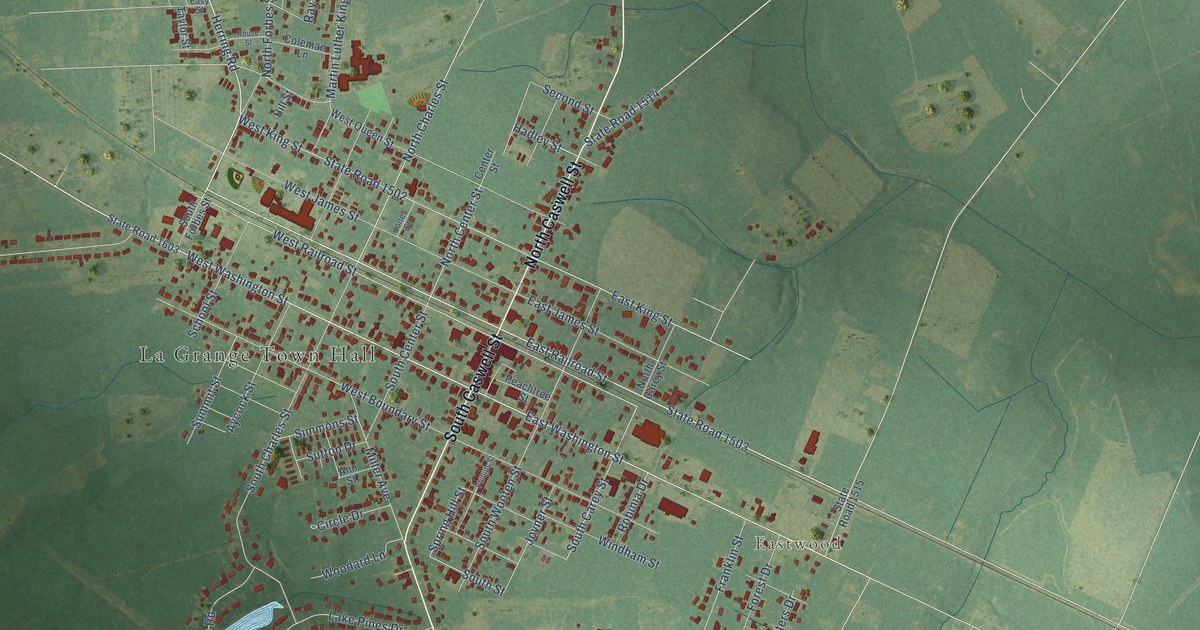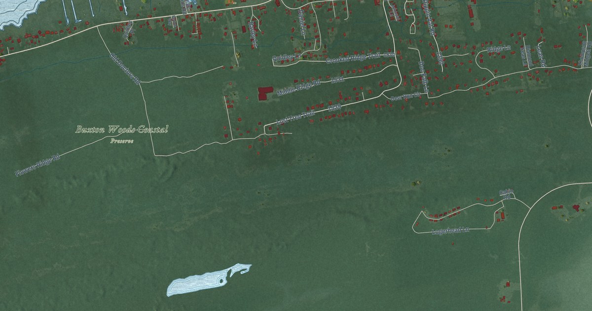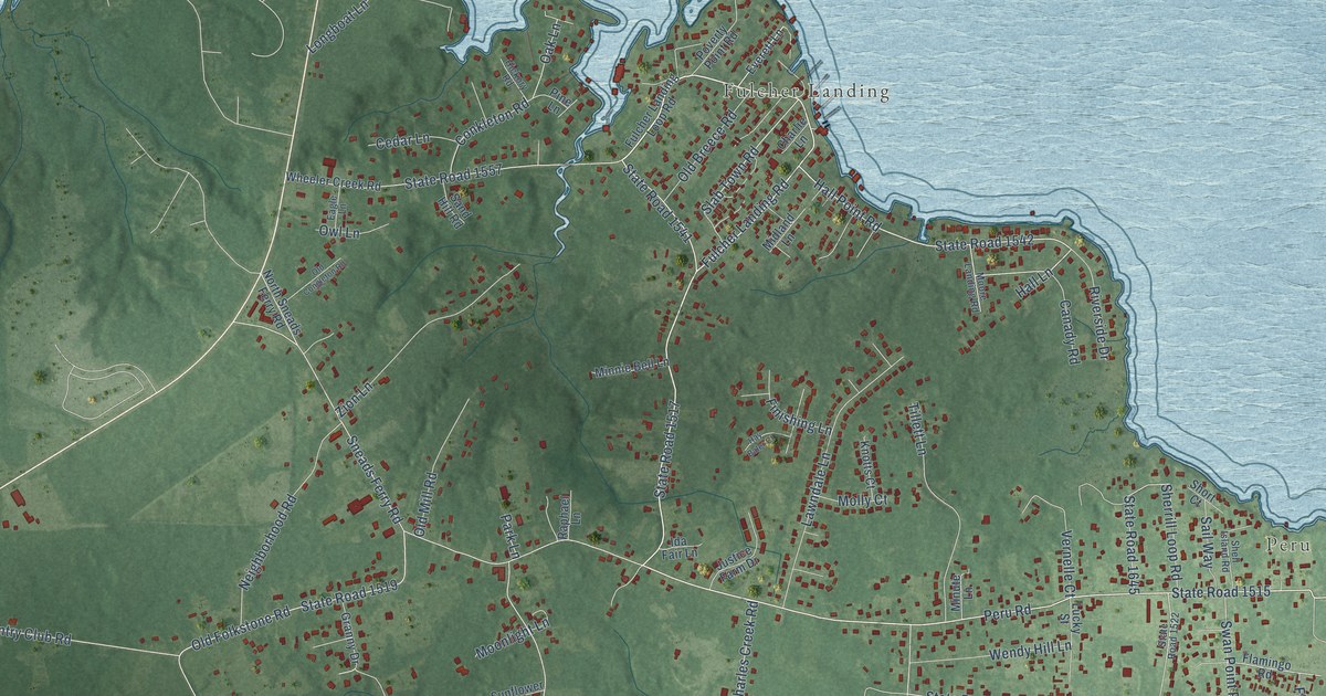
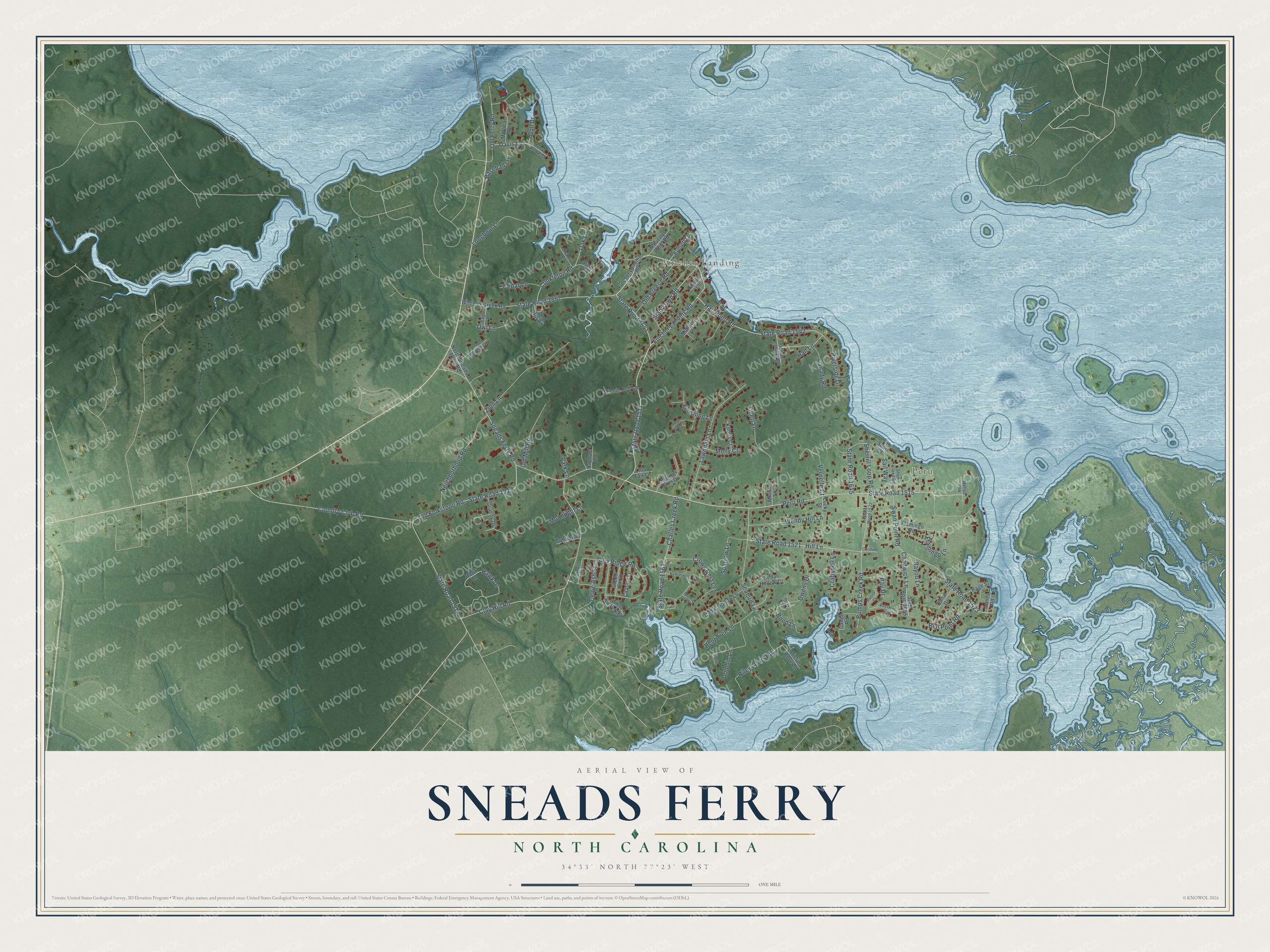
This beautifully detailed map of Sneads Ferry, North Carolina was created in 2026 using aerial imagery combined with modern topographical, census, street and landmark data. It's a modern aerial view of Sneads Ferry in Onslow County, North Carolina, that combines modern data with a vintage aesthetic. The roads feature printed names, and if you look closely you can find your exact house accurately shown in its correct location.
Explore an aerial view of Sneads Ferry, North Carolina
On this map you'll find Peru, Fulcher Landing, Fulcher Landing Road, Peru Road, State Road 1517, State Road 1542, Hall Point Road, State Road 1541, Old Folkstone Road, State Road 1515, Bumps Creek Road, Slab Town Road, and more. Each red shape is a building, so zoom in on the preview and look for yours.
Here is a piece of Sneads Ferry history. Sneads Ferry began as the Lower Ferry on New River, first licensed to Edmund Ennett in 1725. Robert W. Snead settled here about 1760 and ran the ferry and a tavern, and the community took his name. The ferry kept running until 1939, when a bridge opened a short way up the river. That's from the North Carolina Gazetteer.
Sneads Ferry is a community in Onslow County. The Census Bureau counted 2,548 people here in 2020.
Take a closer look at the Sneads Ferry map
Names on this map
These names are printed on this map.
Places: Peru and Fulcher Landing.
Streets and roads: Fulcher Landing Road, Peru Road, State Road 1517, State Road 1542, Hall Point Road, State Road 1541, Old Folkstone Road, State Road 1515, Bumps Creek Road, Slab Town Road, Seabird Lane, State Road 1518.
More street names, A to Z
Baseball Lane, Bay Drive, Bay Drive East, Bayou Lane, Bell Point Road, Bent Tree Lane, Bond Lane, Canady Road, Canal Drive, Cando Road, Cedar Hollow Court, Cedar Hollow Lane, Cedar Lane, Celtic Ash Street, Chadwick Lane, Charles Creek Road, Charlie Lane, Citation Lane, Clay Hill Road, Conkleton Road, Country Club Road, Crabshell Lane, Crestline Lane, Crows Nest Lane, Dapper Dan Drive, Davis Lane, Dolphin Lane, Eagle Lane, Everett Lane, Finishing Lane, Flamingo Lane, Flamingo Road, Frye Lane, Fulcher Landing Loop Road, Granny Drive, Gull Drive, Guthrie Lane, Hall Lane, Hawk Drive, Hawk Lane, Hay Baler Court, Hickory Road, Hill Lane, Ida Fair Lane, James Road, Justice Farm Drive, Knotts Court, Lawndale Lane, Longboat Lane, Lucky Street, Marina Court, Martin Lane, McVicar Road, Melton Row, Midland Lane, Minnie Bell Lane, Minute Lane, Missie Cove Lane, Molly Court, Moonlight Lane, Moore Landing Road, Neighborhood Road, New Grants Circle, North Sneads Ferry Road, Oak Lane, Old Breece Road, Old Congleton Road, Old Ferry Road, Old Mill Road, Owens Drive, Owl Lane, Page Street, Park Lane, Pine Lane, Poverty Point Road, Preakness Lane, Raphael Lane, Riley Lewis Road, Riva Ridge Road, Riverside Drive, Sail Way, Sand Hill Road, Shell Island Road, Sherrill Loop Road, Short Court, Sneads Ferry Road, Sparrow Lane, State Road 1519, State Road 1521, State Road 1522, State Road 1523, State Road 1557, State Road 1558, State Road 1561, State Road 1645, State Road 1655, Sunflower Lane, Swan Point Road, Tillett Lane, Vernelle Court, Wendy Hill Lane, Wheeler Creek Road, Whirl Away Boulevard, Zion Lane.
See it on a wall
The Sneads Ferry map as a framed print. Swipe for more.


Created by KNOWOL in 2026. The buildings are small red shapes, the roads carry their printed names, and shaded relief shows the shape of the land. The title panel reads "AERIAL VIEW OF SNEADS FERRY, NORTH CAROLINA" with 34°33' NORTH 77°23' WEST.
It suits a den, a classroom or a front hall, and it makes a gift for anyone with Sneads Ferry roots. Open the preview and find the block you know. See sizes and frames for the Sneads Ferry map.