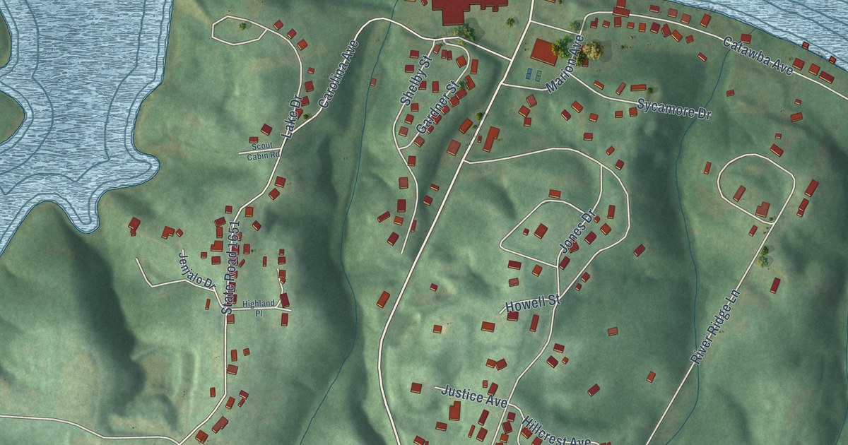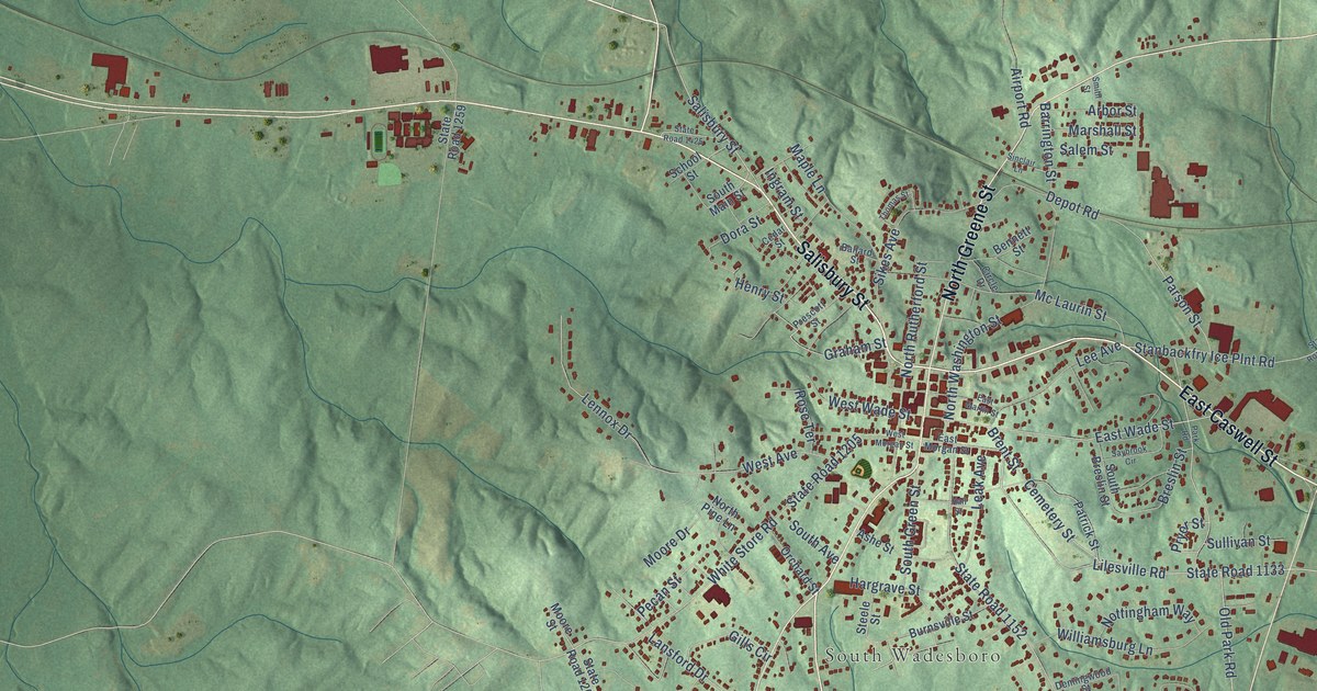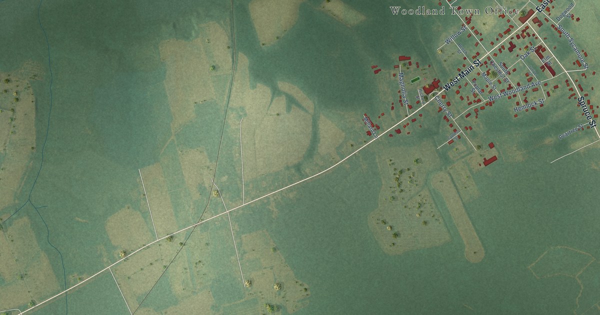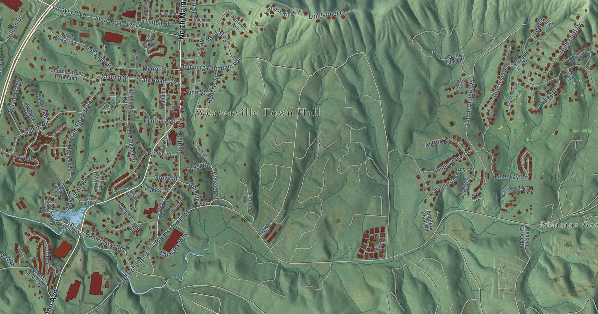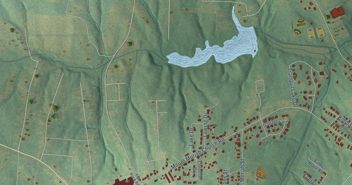
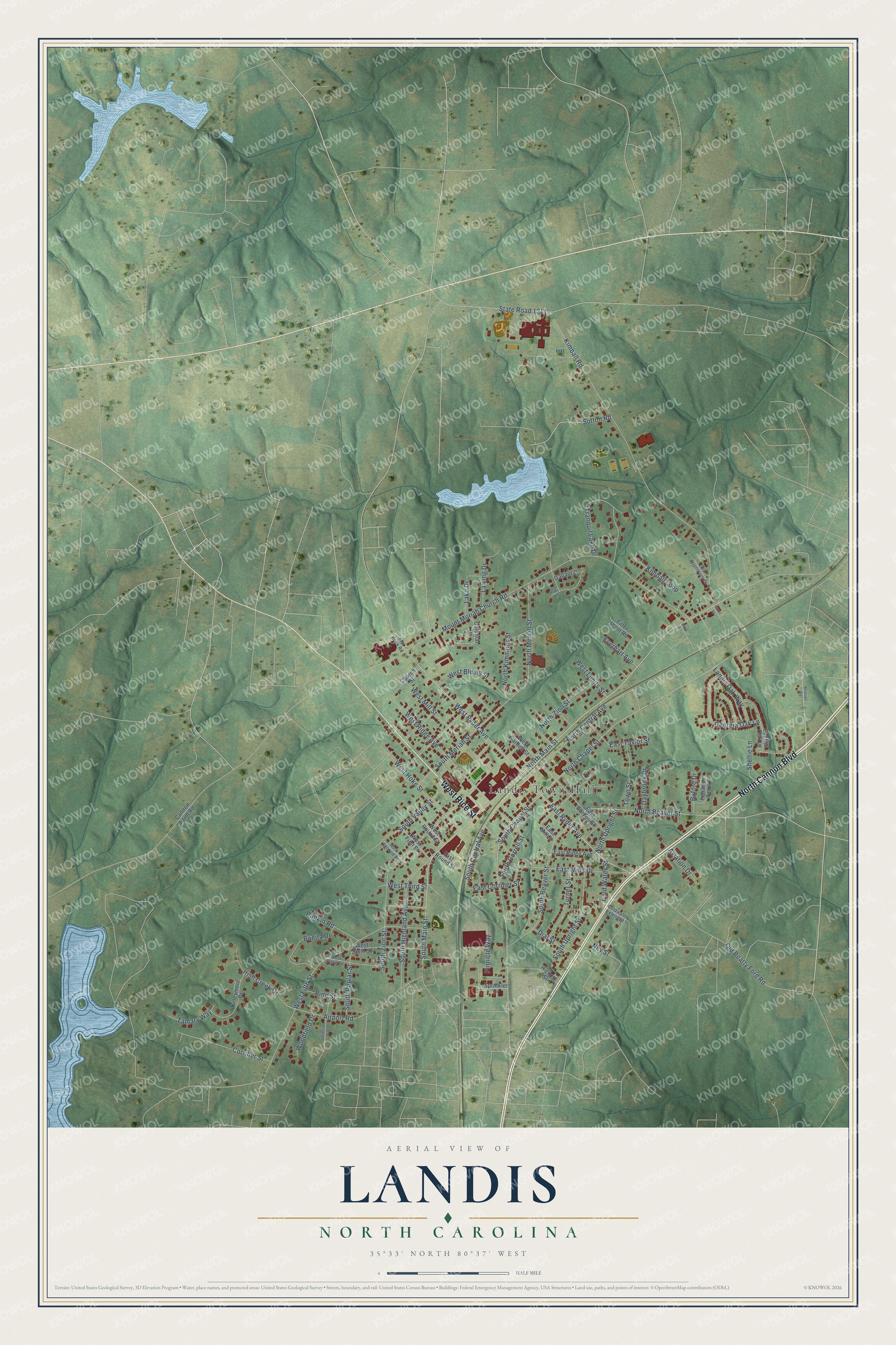
This beautifully detailed map of Landis, North Carolina was created in 2026 using aerial imagery combined with modern topographical, census, street and landmark data. It's a modern aerial view of Landis in Rowan County, North Carolina, that combines modern data with a vintage aesthetic. The roads feature printed names, and if you look closely you can find your exact house accurately shown in its correct location.
Explore an aerial view of Landis, North Carolina
On this map you'll find Landis Town Hall, North Cannon Boulevard, West Rice Street, South Main Street, North Main Street, West Ryder Avenue, East Ryder Avenue, South Chapel Street, Cold Water Street, North Chapel Street, North Beaver Street, South Central Avenue, and more. Each red shape is a building, so zoom in on the preview and look for yours.
Every town has a first chapter, and Landis is no exception. The Town of Landis puts it this way: "The Town of Landis was incorporated on March 7, 1901. Primarily a farming community, local farmers and invested community members, including the Linn, Corriher, Deal, and Coltrane families, worked together to establish the town."
Landis is a town in Rowan County. The Census Bureau counted 3,690 people here in 2020.
Take a closer look at the Landis map
Names on this map
These names are printed on this map.
Places: Landis Town Hall.
Streets and roads: North Cannon Boulevard, West Rice Street, South Main Street, North Main Street, West Ryder Avenue, East Ryder Avenue, South Chapel Street, Cold Water Street, North Chapel Street, North Beaver Street, South Central Avenue, North Kimmons Street.
More street names, A to Z
Airport Road, Aviation Drive, Bonita Drive, Bostian Road, Buford Drive, Cannon Farm Road, Church Street, Coldwater Extended, Colonial Drive, Corriher Street, Daybrook Drive, Dial Street, East Corriher Street, East Garden Street, East Mills Drive, East Mill Street, East Ridge Avenue, East Round Street, East Taylor Street, Edgewood Park Court, English Oak Lane, Everhart Avenue, Filter Plant Road, Flat Rock Road, Gallant Circle, Georgia Oak Lane, Hazel Street, Hickory Street, Irish Creek Drive, Jefferson Avenue, Kimball Loop, Kimball Road, Lady Lane, Lake Drive, Landis Oak Way, Lawing Drive, Linn Street, Mount Moriah Church Road, Ney Street, North Central Avenue, North Meriah Street, North Upright Street, North Zion Street, Old Beatty Ford Road, Old Stagecoach Road, Pine Street, Pinnicle Way, Rankin Road, Sheltie Lane, South Beaver Street, South Correll Street, South Highland Avenue, South Meriah Street, South Poplar Street, South Upright Street, South Valley Street, South Zion Street, Sprinkler Drive, State Road 1211, Sutton Road, Tamary Way, Town Street, Tranquil Lake Drive, Tulleymore Drive, Turner Street, West Blume Street, West Davis Street, West Fifth Street, West First Street, West Garden Street, West Hoke Street, West Limits Street, West Mill Street, West Ridge Avenue, West Round Street, West Second Street, West Sixth Street, West Third Street, Woodfield Drive.
Created by KNOWOL in 2026. The buildings are small red shapes, the roads carry their printed names, and shaded relief shows the shape of the land. The title panel reads "AERIAL VIEW OF LANDIS NORTH CAROLINA" with 35°33' NORTH 80°37' WEST.
Hang it in the hallway, the office or the cabin, or give it to someone who left Landis and still calls it home. Open the preview and look for a street you know. See sizes and frames for the Landis map.