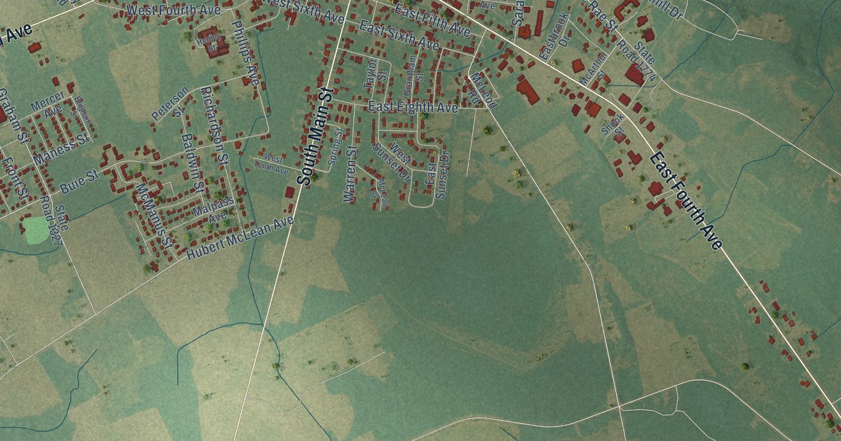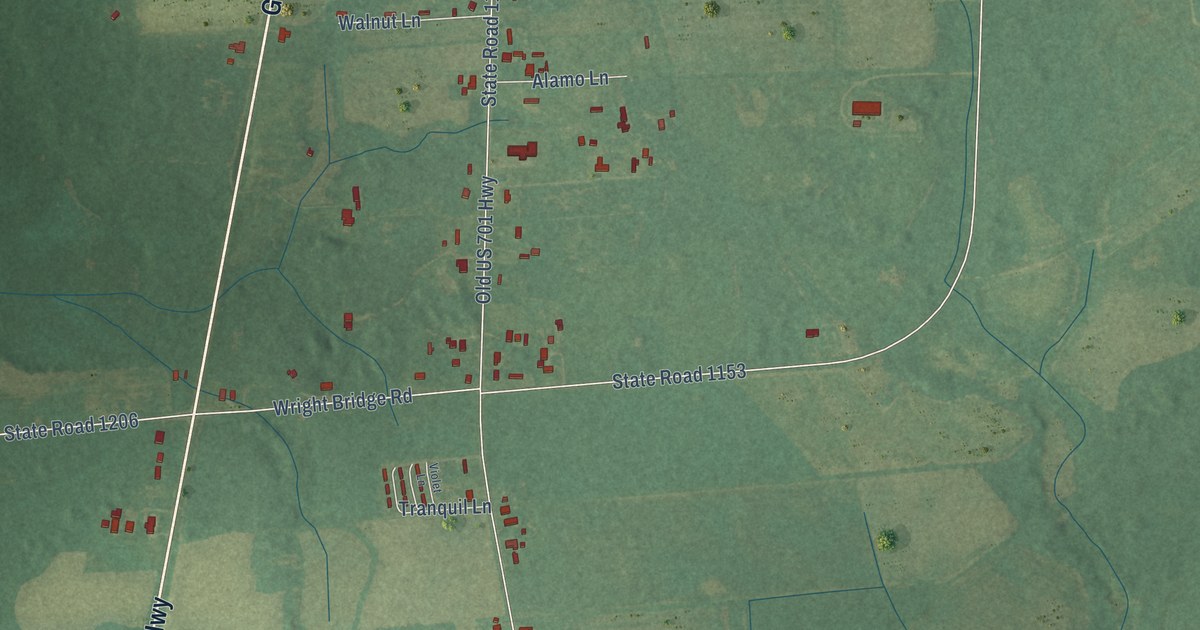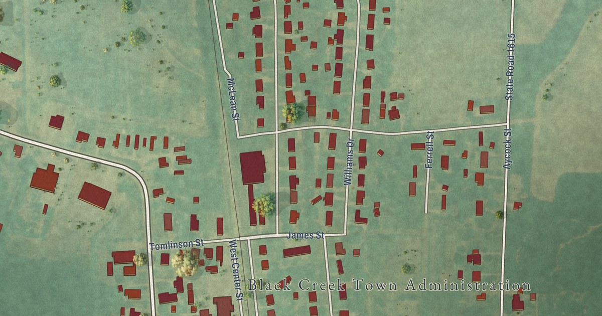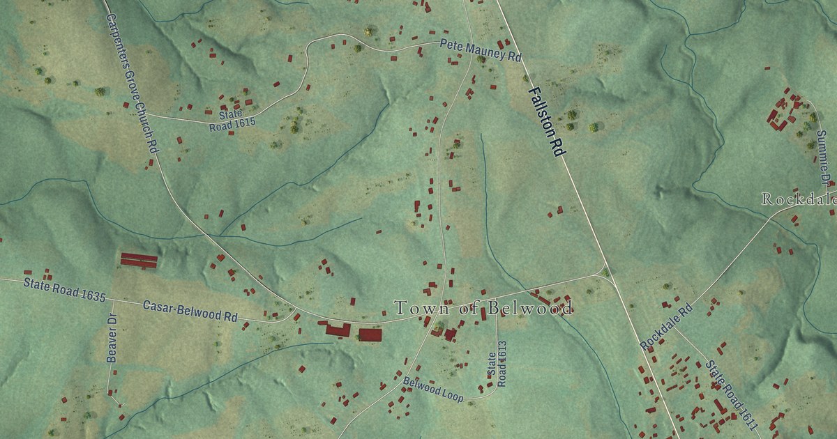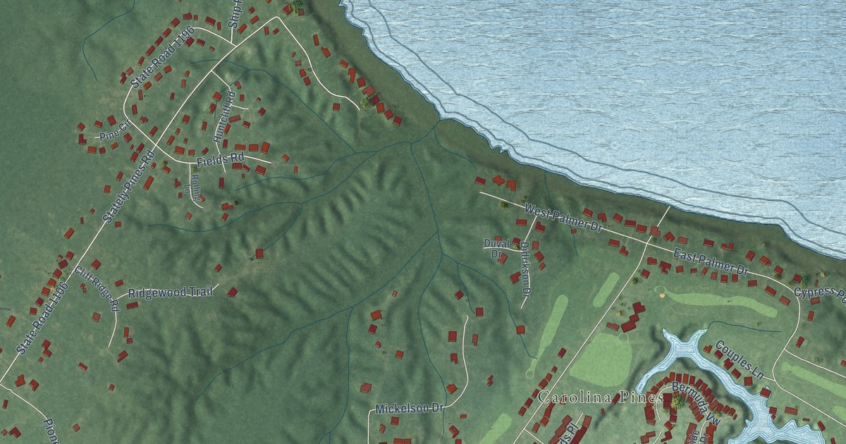
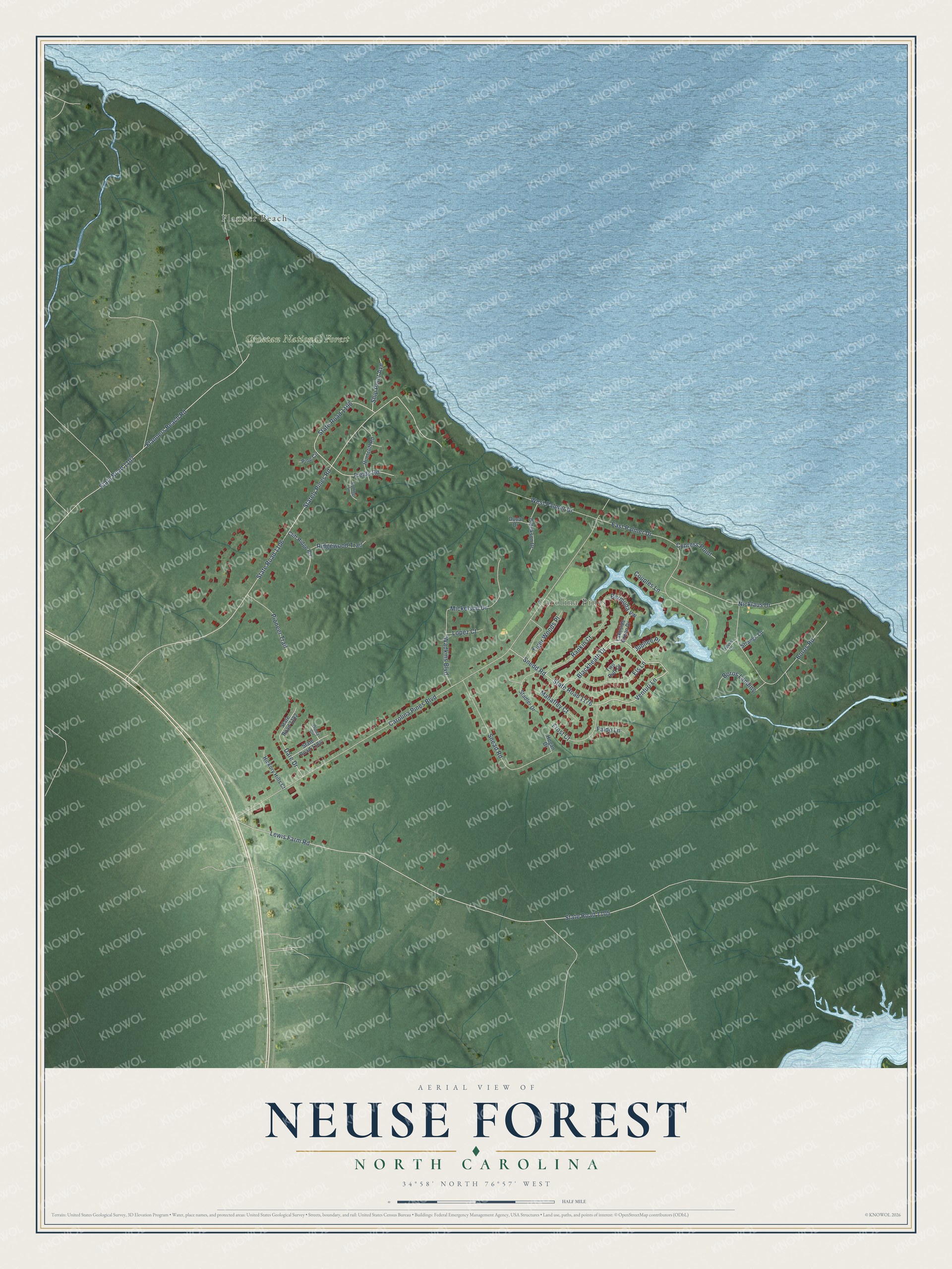
This beautifully detailed map of Neuse Forest, North Carolina was created in 2026 using aerial imagery combined with modern topographical, census, street and landmark data. It's a modern aerial view of Neuse Forest in Craven County, North Carolina, that combines modern data with a vintage aesthetic. The roads feature printed names, and if you look closely you can find your exact house accurately shown in its correct location.
Explore an aerial view of Neuse Forest, North Carolina
On this map you'll find Flanner Beach, Carolina Pines, Croatan National Forest, Blackheath Drive, Venturi Lane, Carolina Pines Boulevard, State Road 1106, Stately Pines Road, Lewis Farm Road, State Road 1105, Flanners Beach Road, State Road 1107, and more. Each red shape is a building, so zoom in on the preview and look for yours.
Neuse Forest is a community in Craven County. The Census Bureau counted 2,110 people here in 2020. Neuse Forest sits about 5 miles northwest of Havelock, 6 miles southeast of James City and 7 miles west of Minnesott Beach. The map prints the town name in its title panel, with the coordinates below it.
Take a closer look at the Neuse Forest map
Names on this map
These names are printed on this map.
Places: Flanner Beach, Carolina Pines and Croatan National Forest.
Streets and roads: Blackheath Drive, Venturi Lane, Carolina Pines Boulevard, State Road 1106, Stately Pines Road, Lewis Farm Road, State Road 1105, Flanners Beach Road, State Road 1107, Boros Road, East Palmer Drive, Fields Road.
More street names, A to Z
Bermuda Vw, Boros Landing, Cliff Ridge Road, Couples Lane, Cypress Point, Dare Drive, Didrikson Drive, Duval Drive, Els Lane, Faldo Lane, Frost Court, Hickory Hills Court, Hogan Drive, Huntcliff Road, Jubilee Place, Lakeside Green Drive, Lopez Court, Mahaffey Court, Mickelson Drive, Nicklaus Drive, Olney Circle, Pine Circle, Pioneer Trail, Rankin Court, Ridgewood Trail, Rolling Lane, Ship Point Avenue, Snead Road, Snedd Road, Stadler Drive, State Road 1176, State Road 1182, State Road 1184, State Road 1196, Strange Lane, Tiger Woods Place, Trevino Lane, Two Putt Court, Wadkins Boulevard, West Palmer Drive.
See it on a wall
The Neuse Forest map as a framed print. Swipe for more.


Created by KNOWOL in 2026. The buildings are small red shapes, the roads carry their printed names, and shaded relief shows the shape of the land. The title panel reads "AERIAL VIEW OF NEUSE FOREST, NORTH CAROLINA" with 34°58' NORTH 76°57' WEST.
It looks right in a kitchen, an office or a den, and it's a gift for anyone who grew up in Neuse Forest or moved away. Open the preview and find your street. See sizes and frames for the Neuse Forest map.