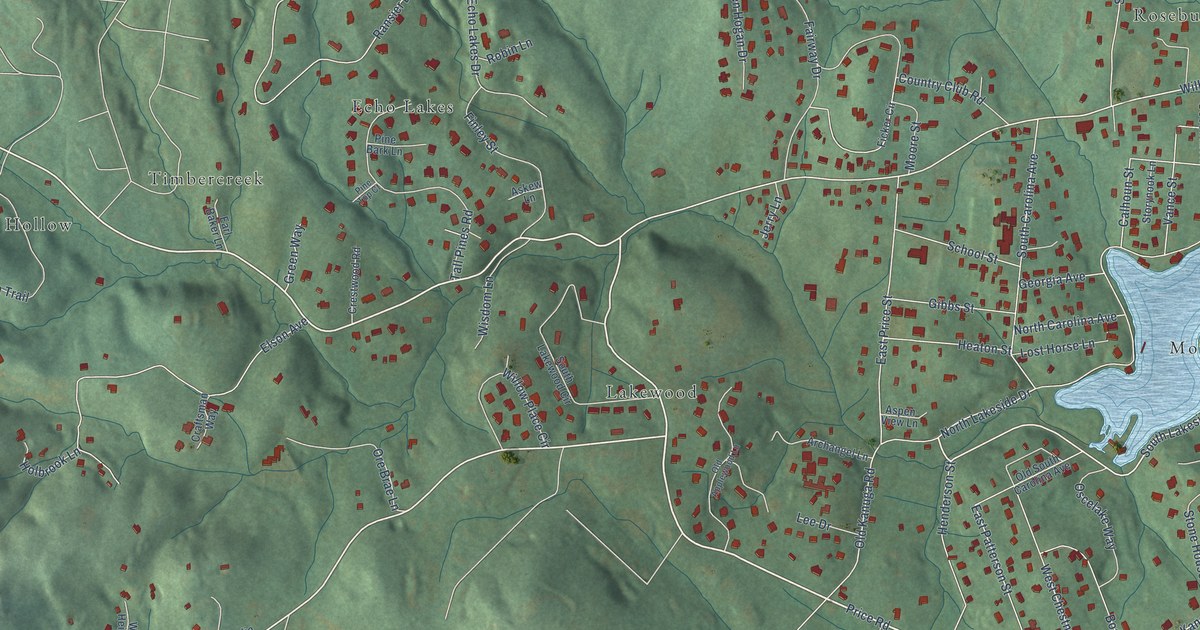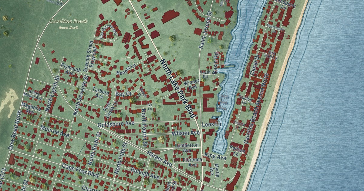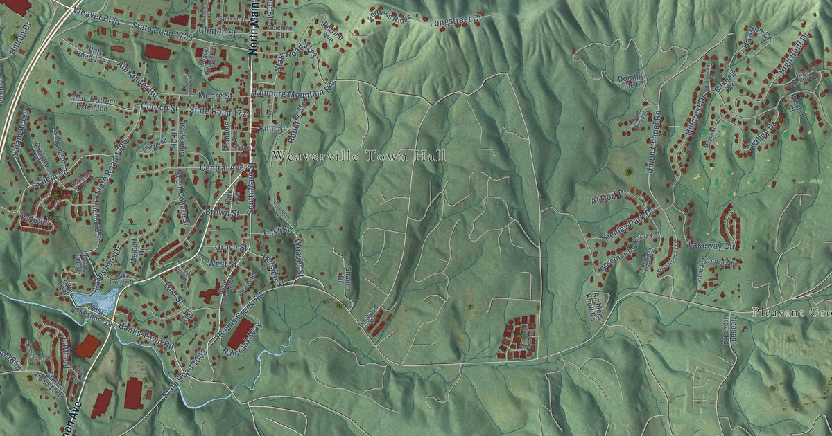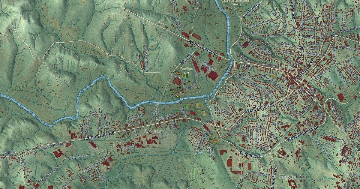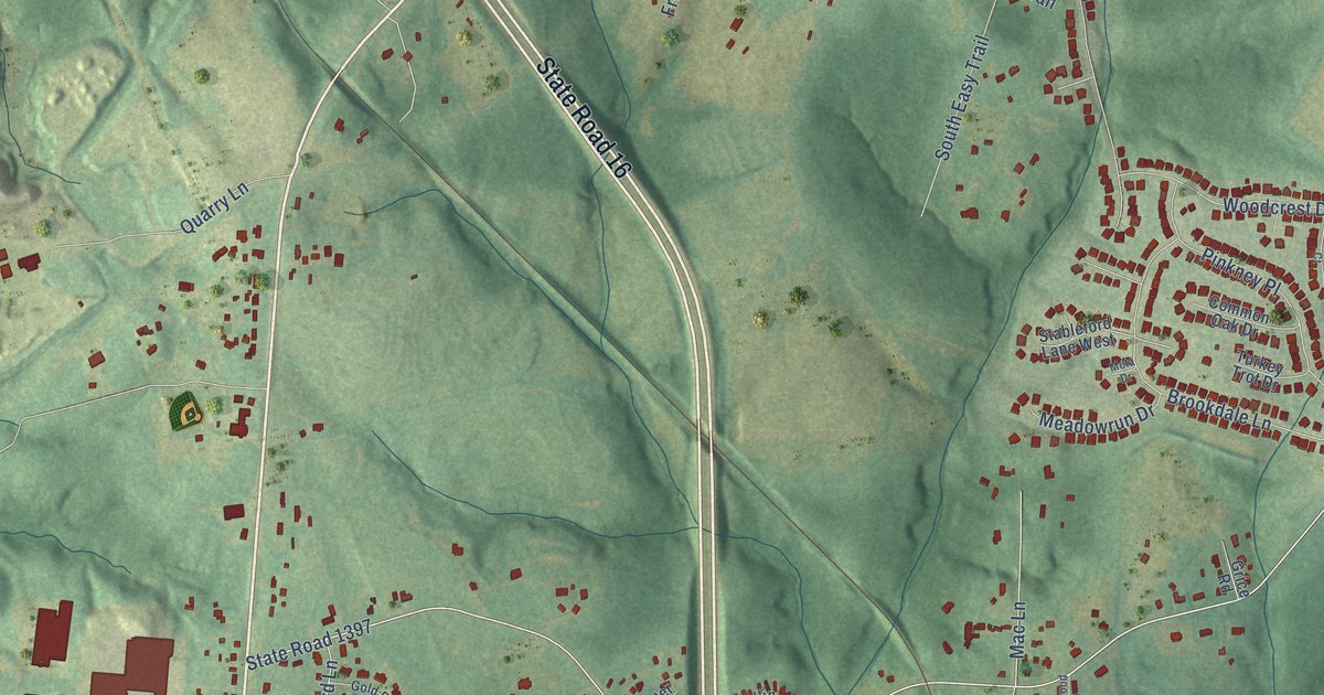
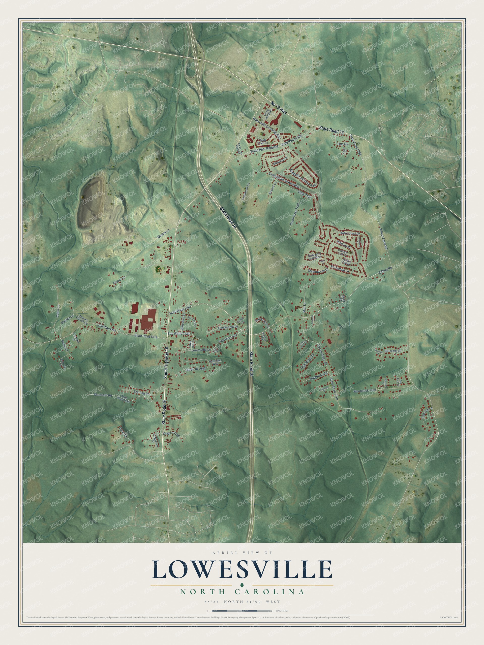
This beautifully detailed map of Lowesville, North Carolina was created in 2026 using aerial imagery combined with modern topographical, census, street and landmark data. It's a modern aerial view of Lowesville in Lincoln County, North Carolina, that combines modern data with a vintage aesthetic. The roads feature printed names, and if you look closely you can find your exact house accurately shown in its correct location.
Explore an aerial view of Lowesville, North Carolina
On this map you'll find State Road 16, South Highway 16, Nc 73 Highway, State Road 73, Sifford Road, State Road 1397, Killian Farm Road, State Road 1396, State Road 1710, Forest Ridge Drive, Old Plank Road, State Road 1511, and more. Each red shape is a building, so zoom in on the preview and look for yours.
Every town has a first chapter, and Lowesville is no exception. Dr. James Elmer Dellinger was born at Lowesville in 1862, the son of a farm cropper. He worked on the farm and saved thirty dollars from wages of ten dollars a month to start school, then finished Shaw University's four year medical course in three years. In the Spanish American War he was commissioned chief surgeon, with the rank of major, of the state regiment of Black soldiers raised under Governor Russell. That's from the Caldwell biographical history of 1917.
Lowesville is a community in Lincoln County. The Census Bureau counted 3,281 people here in 2020.
Take a closer look at the Lowesville map
Names on this map
These names are printed on this map.
Streets and roads: State Road 16, South Highway 16, Nc 73 Highway, State Road 73, Sifford Road, State Road 1397, Killian Farm Road, State Road 1396, State Road 1710, Forest Ridge Drive, Sedgebrook Drive West, Old Plank Road.
More street names, A to Z
Austin Lane, Avenel Lane, Basin Lane, Bedrock Lane, Blue Bird Lane, Bluff Point Lane, Bob White Trail, Brookdale Lane, Buckhorn Trail, Cabin Lane, Cardinal Loop, Carol Drive, Cedarwood Court, Common Oak Drive, Cross Center Road, Dartwood Lane, Dayton Lane, Del Paul Court, Easy Trail, Exeter Lane, Fountain Lane, Freemont Lane, Glencrest Drive, Glover Lane, Gold Finch Lane, Gold Hill Church Road, Grice Road, Hawksnest Lane, High Ridge Drive, Killarney Drive, Lark Lane, Lowesville Lane, Mac Lane, Marchele Court, McIntosh Road, Meadowrun Drive, Meta Drive, Monahan Court, Oregon Trail, Otts Circle, Partridge Way, Pinkney Place, Quailwood Drive, Quarry Lane, Red Bird Lane, Red Fox Lane, Ridgecrest Drive, Ridgeway Road, Rolling Hills Lane, Sedgebrook Drive East, South Easy Trail, South Little Egypt Road, South Pilot Knob Road, Stableford Lane West, State Road 1394, State Road 1450, State Road 1511, State Road 1655, State Road 1930, Sterling Court, Turkey Trot Drive, Waterside Crossing Boulevard, Woodcock Trail, Woodcrest Drive.
See it on a wall
The Lowesville map as a framed print. Swipe for more.


Created by KNOWOL in 2026. The buildings are small red shapes, the roads carry their printed names, and shaded relief shows the shape of the land. The title panel reads "AERIAL VIEW OF LOWESVILLE, NORTH CAROLINA" with 35°25' NORTH 81°00' WEST.
Hang it in the hallway, the office or the cabin, or give it to someone who left Lowesville and still calls it home. Open the preview and look for a street you know. See sizes and frames for the Lowesville map.