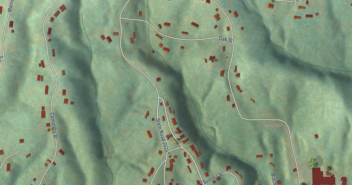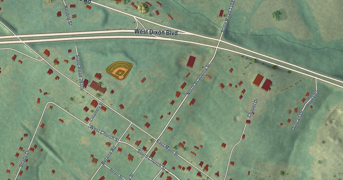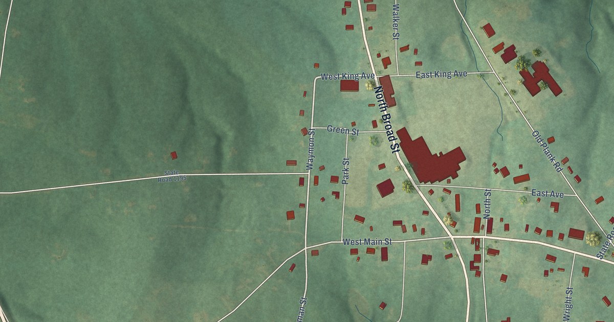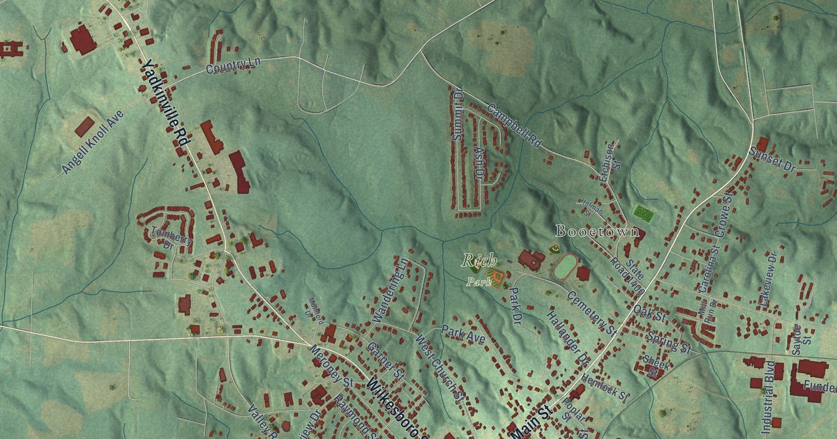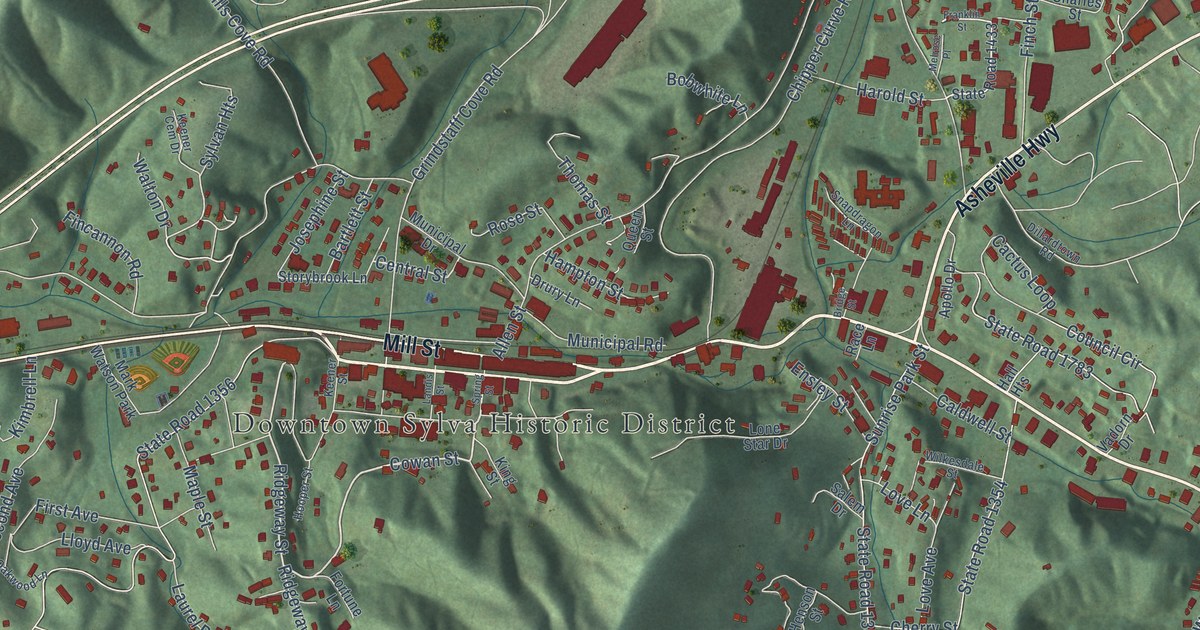
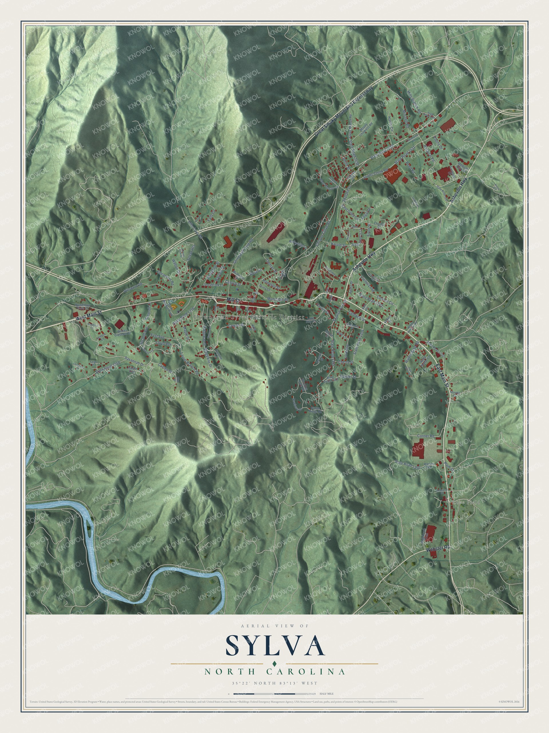
This beautifully detailed map of Sylva, North Carolina was created in 2026 using aerial imagery combined with modern topographical, census, street and landmark data. It's a modern aerial view of Sylva in Jackson County, North Carolina, that combines modern data with a vintage aesthetic. The roads feature printed names, and if you look closely you can find your exact house accurately shown in its correct location.
Explore an aerial view of Sylva, North Carolina
On this map you'll find Downtown Sylva Historic District, Love Field, West Main Street, East Main Street, Mill Street, Asheville Highway, Great Smoky Mountains Expressway, Webster Road, Skyland Drive, Cowan Street, State Road 1432, Ridgeway Street, and more. Each red shape is a building, so zoom in on the preview and look for yours.
Here is a piece of Sylva history, in the words of the record. The record at dncr.nc.gov puts it this way: "First woman elected to N.C. Senate, 1930. Civic leader and clubwoman. Home was 50 yds. west."
Sylva is a town in Jackson County. The Census Bureau counted 2,578 people here in 2020.
Take a closer look at the Sylva map
Names on this map
These names are printed on this map.
Places: Downtown Sylva Historic District, Love Field and Mark Watson Park.
Streets and roads: West Main Street, East Main Street, Mill Street, Asheville Highway, Great Smoky Mountains Expressway, Webster Road, Skyland Drive, Cowan Street, State Road 1432, Ridgeway Street, Central Street, State Road 1439.
More street names, A to Z
Allen Henson Circle, Allens Branch Road, Allen Street, Apollo Drive, Arnold Hill, Barnes Road, Bartlett Street, Bobwhite Lane, Bradford Lane, Bridge Street, Brown Ridge Road, Cactus Loop, Caldwell Street, Cameo Street, Chaparral Drive, Charles Street, Cherry Street, Chipper Curve Road, Christopher Lane, Clayton Street, Conner Road, Council Circle, Dillardtown Road, Dillsboro Road, Dills Cove Road, Drury Lane, Eastgate Drive, East Sylva Circle, Ebony Drive, Elm Street, Ensley Street, Falls Circle, Fargo Lane, Fincannon Road, Finch Street, First Avenue, Fortune Lane, Franklin Street, Grindstaff Cove Road, Hall Heights, Hallie Manor Court, Hampton Street, Harold Street, Harris Circle, Henson Street, Hometown Place Road, Hominy Lane, Hooper Street, Hospital Road, Josephine Street, Keener Cem Drive, Keener Street, Kimbrell Lane, King Street, Landis Street, Laurel Branch Road, Lenora Lane, Lloyd Avenue, Lone Star Drive, Love Avenue, Love Lane, Maple Street, Medical Park Drive, Melrose Place, Mills Branch Road, Mitchell Road, Moody Childress Road, Municipal Drive, Municipal Road, Nowhere Drive, Oakwood Lane, Painter Street, Plum Street, Queen Street, Race Lane, Reed Road, Regal Drive, Rhoades Cove Road, Ridgeway Drive, Ripple Run, Rose Street, Sagebrush Trail, Salem Drive, Savannah Drive, Scotts Creek Road, Second Avenue, Smith Street, Snapdragon Lane, Spring Street, State Road 352, State Road 1350, State Road 1353, State Road 1354, State Road 1355, State Road 1356, State Road 1358, State Road 1431, State Road 1433, State Road 1437, State Road 1441, State Road 1720, State Road 1783, Stormy Cv, Storybrook Lane, Sunrise Park Street, Sylvan Heights, Teakwood Lane, Tequila Heights, Thomas Street, Trailerville Lane, Vadorn Drive, Walter Ashe Road, Walton Drive, Wilkes Crescent Drive, Wilkesdale Street, Woody Hampton Road.
Created by KNOWOL in 2026. The buildings are small red shapes, the roads carry their printed names, and shaded relief shows the shape of the land. The title panel reads "AERIAL VIEW OF SYLVA NORTH CAROLINA" with 35°22' NORTH 83°13' WEST.
It suits a den, a classroom or a front hall, and it makes a gift for anyone with Sylva roots. Open the preview and find the block you know. See sizes and frames for the Sylva map.