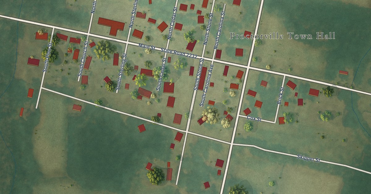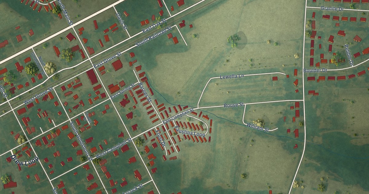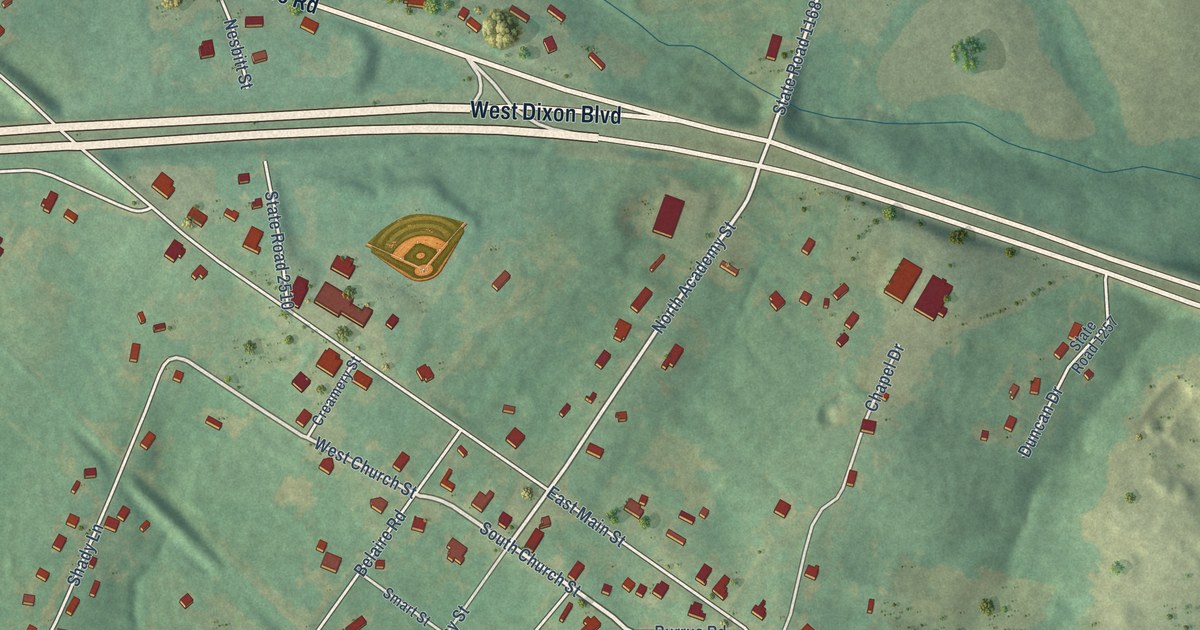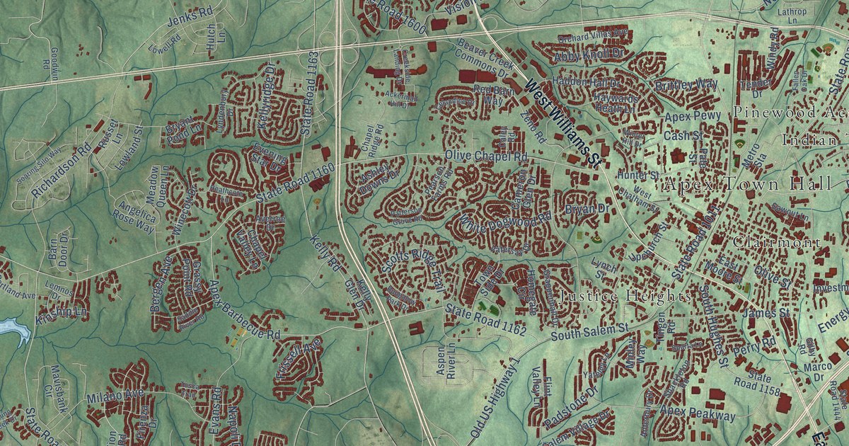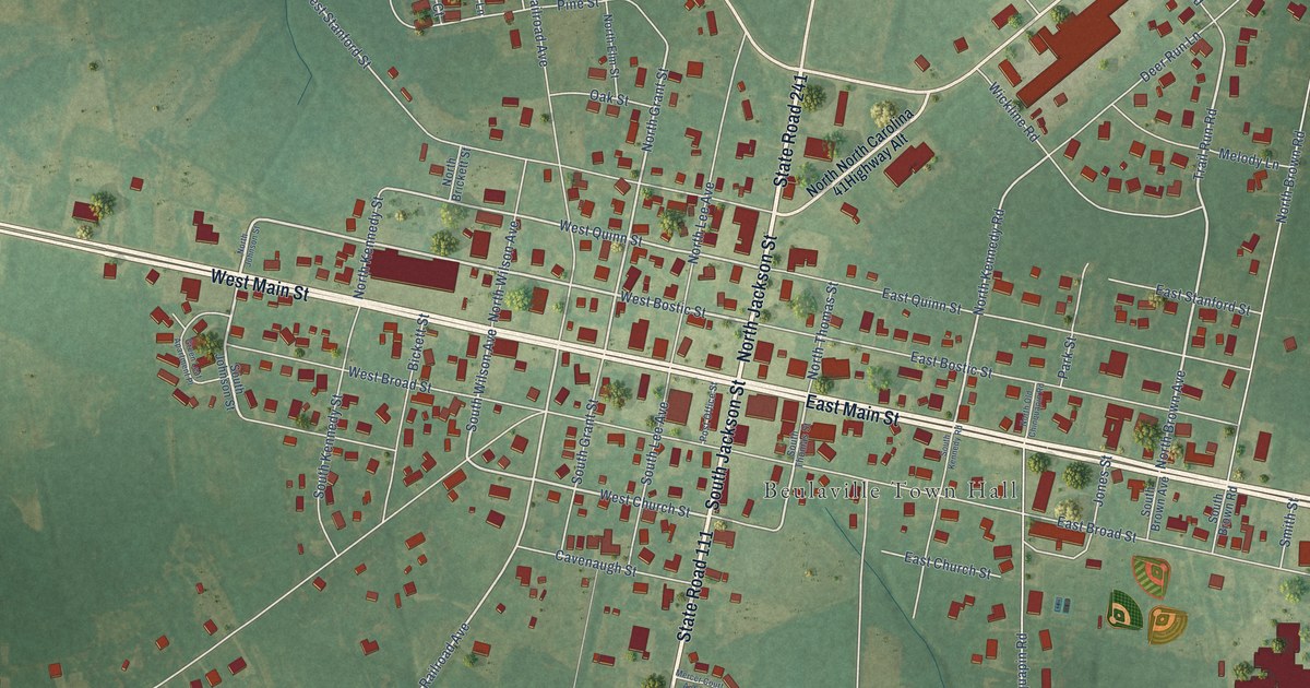
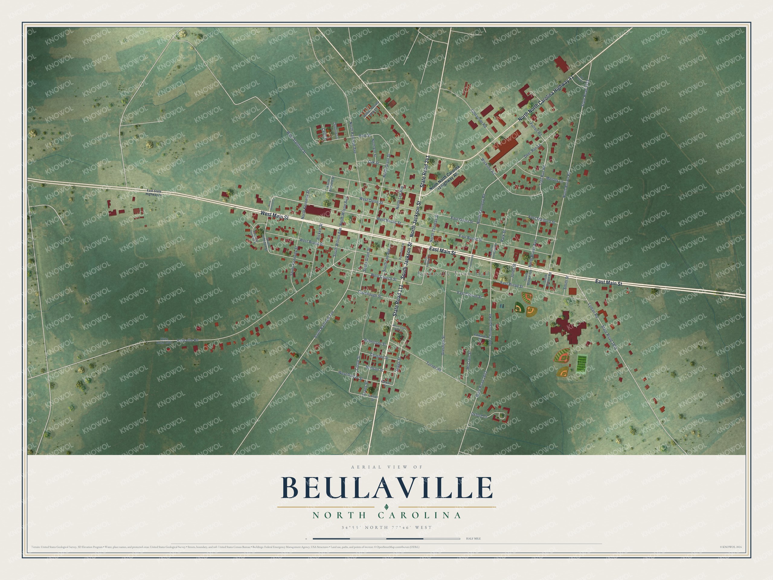
This beautifully detailed map of Beulaville, North Carolina was created in 2026 using aerial imagery combined with modern topographical, census, street and landmark data. It's a modern aerial view of Beulaville in Duplin County, North Carolina, that combines modern data with a vintage aesthetic. The roads feature printed names, and if you look closely you can find your exact house accurately shown in its correct location.
Explore an aerial view of Beulaville, North Carolina
On this map you'll find Beulaville Town Hall, East Main Street, West Main Street, North Jackson Street, State Road 111, South Jackson Street, State Road 241, West Bostic Street, North Brown Avenue, Trail Run Road, West Church Street, Cottle Street, and more. Each red shape is a building, so zoom in on the preview and look for yours.
Beulaville has a story worth telling. The Town of Beulaville puts it this way: "Ida Sandlin, who later became the town's Postmistress, disapproved of the name Snatchette. She changed the name of the town in 1874 to Beulaville, naming it after the Beulah Baptist Church."
Beulaville is a town in Duplin County. The Census Bureau counted 1,116 people here in 2020.
Take a closer look at the Beulaville map
Names on this map
These names are printed on this map.
Places: Beulaville Town Hall.
Streets and roads: East Main Street, West Main Street, North Jackson Street, State Road 111, North North Carolina Highway 41, South Jackson Street, State Road 241, West Bostic Street, North Brown Avenue, Trail Run Road, West Church Street, Cottle Street.
More street names, A to Z
Bickett Street, Brinson Street, Cavenaugh Street, Ceil Court, Chasten Street, Crossover Road, Deer Run Lane, East Bostic Street, East Broad Street, East Church Street, East Quinn Street, East Stanford Street, East State Highway 24, Edwards Street, Evans Street, Futrell Road, Green Leaf Apartment Place, Gresham Street, Hallsville Road, Hot Dog Lane, Jones Street, Lanier Street, Lyman Road, McClain Street, Melody Lane, Mercer Court Apts Lane, North Brickett Street, North Brown Road, North Elm Street, North Grant Street, North Johnson Street, North Kennedy Road, North Kennedy Street, North Lee Avenue, North Old Chinquapin Road, North Railroad Avenue, North Thomas Street, North Wilson Avenue, Oak Street, Old Chinquapin Road, Osborne Lane, Oxford Court, Parker Street, Park Street, Pine Street, Post Office Street, Robertson Street, Smith Street, South Brown Avenue, South Brown Road, South Grant Street, South Johnson Street, South Kennedy Road, South Kennedy Street, South Lee Avenue, South Railroad Avenue, South Thomas Street, South Wilson Avenue, State Road 1722, State Road 1801, State Road 1802, State Road 1961, Suggs Street, Turner Road, West Broad Street, West Parker Street, West Quinn Street, West Stanford Street, Wickline Road, Wilbur Hussey Mhp Lane.
Created by KNOWOL in 2026. The buildings are small red shapes, the roads carry their printed names, and shaded relief shows the shape of the land. The title panel reads "AERIAL VIEW OF BEULAVILLE NORTH CAROLINA" with 34°55' NORTH 77°46' WEST.
It looks right in a kitchen, an office or a den, and it's a gift for anyone who grew up in Beulaville or moved away. Open the preview and find your street. See sizes and frames for the Beulaville map.