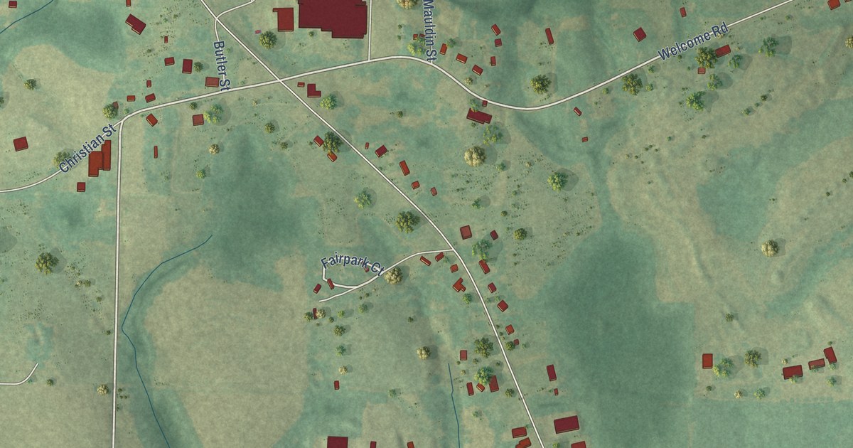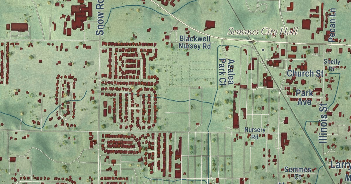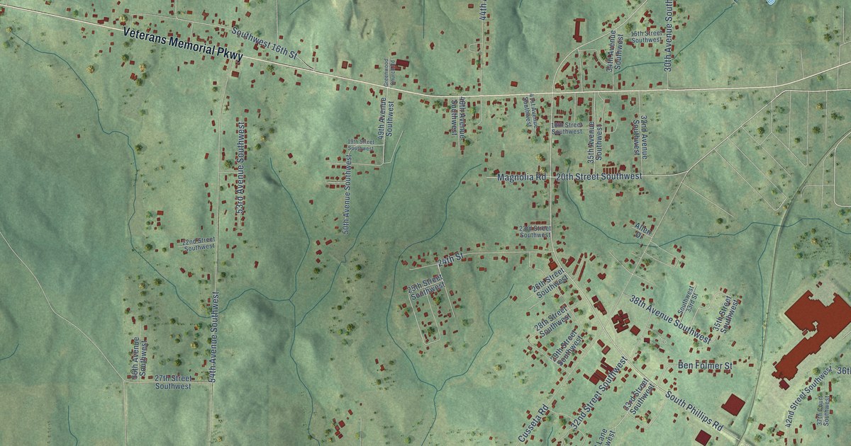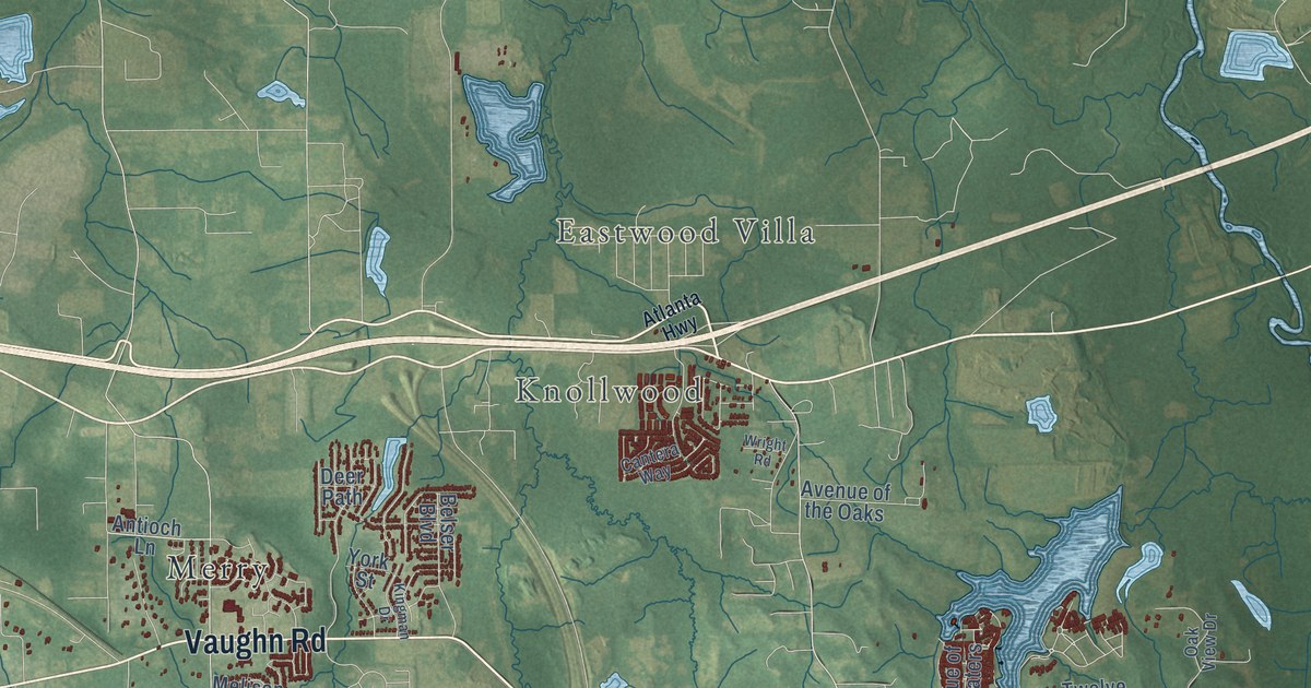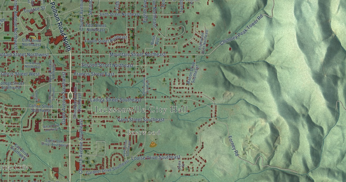
This beautifully detailed map of Jacksonville, Alabama was created in 2026 using aerial imagery combined with modern topographical, census, street and landmark data. It’s a one-of-a-kind view of Jacksonville that combines accurate data with a vintage aesthetic. The map shows every building in its true location, many of the roads carry their names, and the shaded topographic relief shows the shape of the land.
Explore an aerial view of Jacksonville, Alabama
On the map you’ll find Jacksonville City Hall, Bonny Brook, Betta-Life, and Eastwood, along with Pelham Road South, Pelham Road North, Nisbet Street Northwest, Eighth Avenue Northeast, Alexandria Road Southwest, Jacksonville Street, Mountain Street Northeast, Church Avenue Northeast, and more. If you look closely you can even find your house accurately drawn in its correct location. Zoom in on the preview to look for yours.
Did you know this piece of Jacksonville, Alabama history?
From Encyclopediaofalabama.org: "Worker's-rights pioneer Lilly McDaniel Ledbetter was born in Jacksonville, and journalist Rick Bragg was raised in the Possum Trot community just outside the city."
Take a closer look at the Jacksonville map
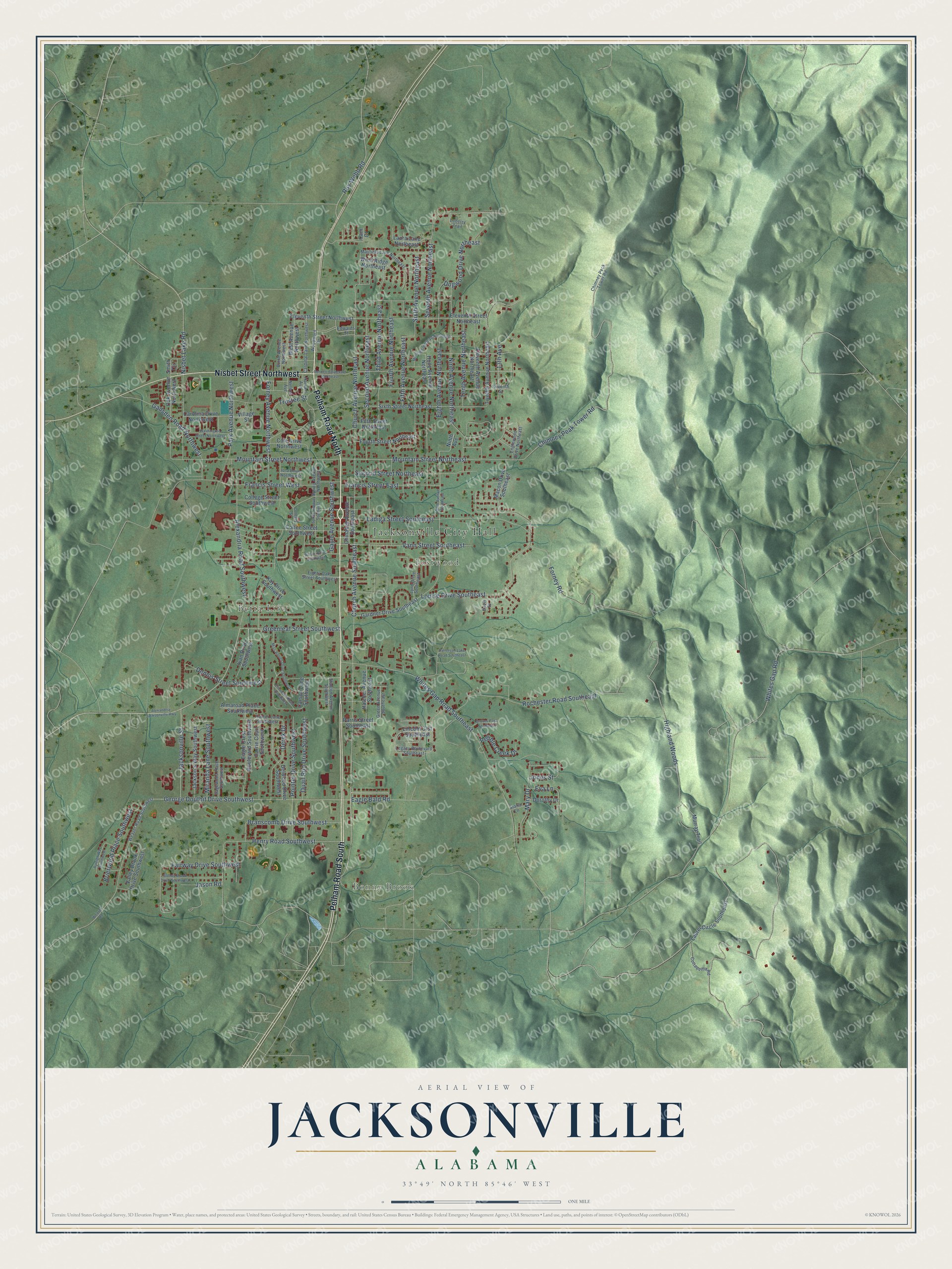
Street and place names on the Jacksonville, Alabama map
These names are printed on the map of Jacksonville, Alabama.
Places: Jacksonville City Hall, Bonny Brook, Betta-Life and Eastwood.
Streets and roads: Pelham Road South, Pelham Road North, Nisbet Street Northwest, Eighth Avenue Northeast, Alexandria Road Southwest, Jacksonville Street, Mountain Street Northeast, Church Avenue Northeast, Chimney Peak Tower Road, Church Avenue Southeast, George Douthit Drive Southwest, Forney Road.
More street names, A to Z
13th Avenue, Alexandria Jacksonville Highway, Almaroad Place Southwest, Bennett Boulevard Northeast, Branscomb Drive Southwest, Brierwood Place Southwest, Burke Avenue Northwest, Cam Court, Cardinal Lane Northwest, Carolina Drive Northwest, Carrie Court Southwest, Carson Lane Southwest, Chimney Peck Tower Road, Chinabee Avenue Southeast, Coffee Street Southwest, Cole Drive Northwest, College Street, College Street Southwest, Cottaquilla Road, Davis Street, Delwood Drive Southwest, Dennis Street Southwest, Derek Drive, Dogwood Drive Northeast, Dorothy Drive, Eagle Bald Road, Eagle Crest Boulevard Southwest, Edwards Street, Eighth Avenue Southeast, Eighty Oaks Street Southwest, Eleventh Avenue Northeast, Eleventh Street Northeast, Eleventh Street Northwest, Elizabeth Road Southwest, Englewood Drive Northeast, Eva Lane, Fairway Drive Southwest, Fifth Avenue Northeast, Fifth Street Northeast, Forney Avenue Northwest, Fourth Avenue Northeast, Fourth Street Northeast, Francis Street East, Francis Street West, Gadsden Road Northwest, Gardner Drive Southeast, Gayle Avenue Southwest, Green Avenue Southeast, Greenleaf Street Southwest, Groves Pass Southeast, Harwell Avenue, Hatcher Avenue Southeast, Henry Road Southwest, Highland Woods, Holly Avenue Northeast, Hunter Lane Southwest, Iola Drive Northwest, Ivan Drive Southwest, Jackson's Way Southwest, Jason Road, Jones Street, Kay Drive Southwest, Ladiga Street Southeast, Laura Lane Northeast, Laurel Circle Southeast, Legacy Boulevard Southeast, Lincoln Crst Southeast, Loberry Trail, Louise Drive Southeast, Lynn Drive Southeast, Macon Drive Southeast, Mary Drive, Mayfield Lane Northeast, Miranda Lane Southwest, Miss Annies Drive Southwest, Morningside Drive Northeast, Mountain Street Northwest, Murray Trail, Nelson Avenue, Ninth Avenue, Ninth Avenue Northeast, Nisbet Lake Road, Oak Avenue Northwest, Park Avenue Northwest, Parris Street Southeast, Patterson Lake Road Southeast, Pebble Creek Drive, Pointer Drive Southwest, Quail Run Drive Southwest, Rochester Road Southeast, Roy Webb Road, Ryleigh Way Southwest, Sagewood Place Southwest, Second Avenue Northeast, Second Street Northeast, Seventh Avenue Northeast, Seventh Street, Sixth Avenue Northeast, Sixth Street Northeast, Smith Circle, Spring Avenue Northwest, Spring Avenue Southwest, Stanton Avenue Southwest, Starla Lane, Stoney Brook Drive Southwest, Tenth Avenue Northeast, Third Avenue Northeast, Trustee Street, Twelfth Avenue Northeast, Valley Brook Drive Southwest, Vann Street Southeast, Village Street, Washington Street Northwest, Weaver Road, Weaver Road Southwest, West Avenue Northwest, Whites Gap Road, Whites Gap Road Southeast, Wilson Drive Southwest, Wind Ridge Northeast, Woodward Drive.
See the Jacksonville, Alabama map on a wall
The Jacksonville map as an 18 x 24 inch print in a black frame.

This beautifully detailed map of Jacksonville makes an attractive addition to your office, library, or den, and it can even be used to teach children the geography and history of the area. It also makes a great gift for someone who left Jacksonville and still calls it home. When you’re done exploring, click here to get your copy of the Jacksonville map.