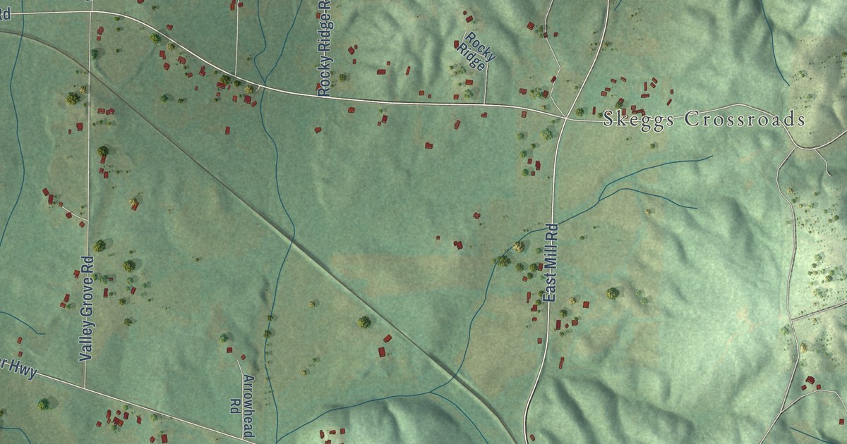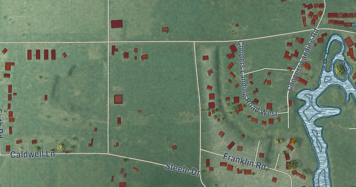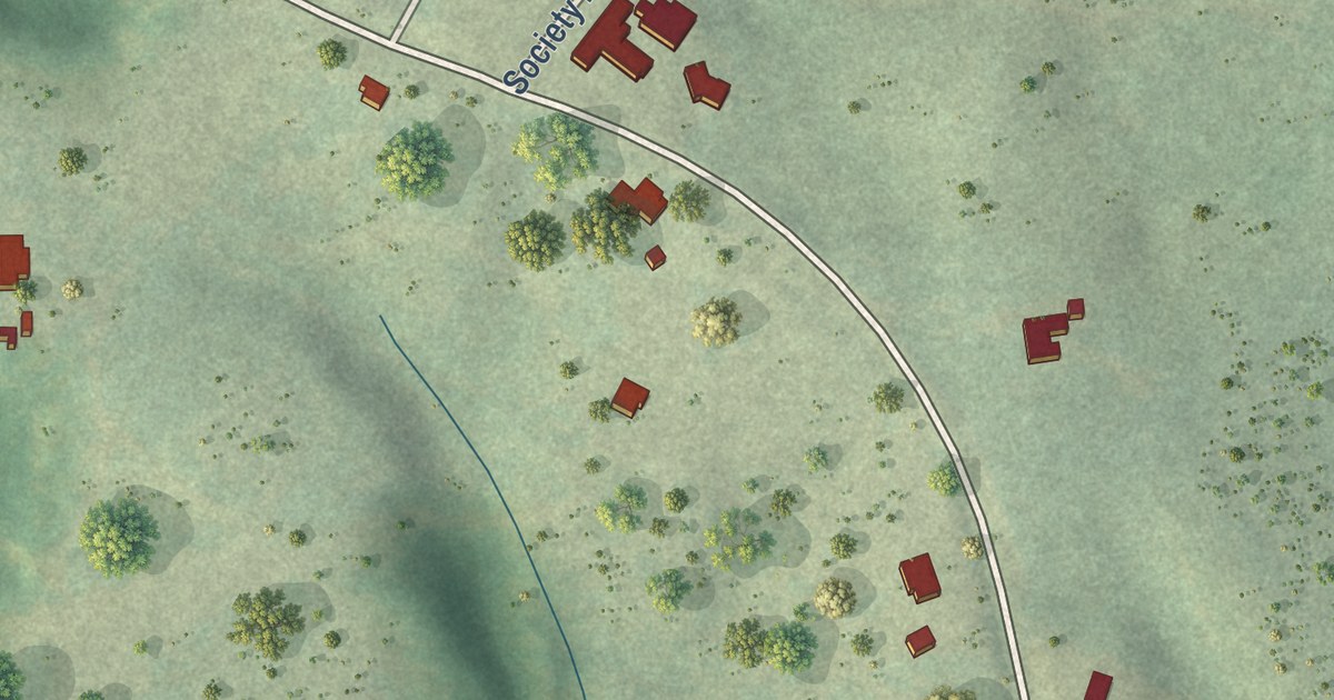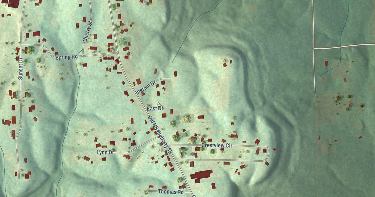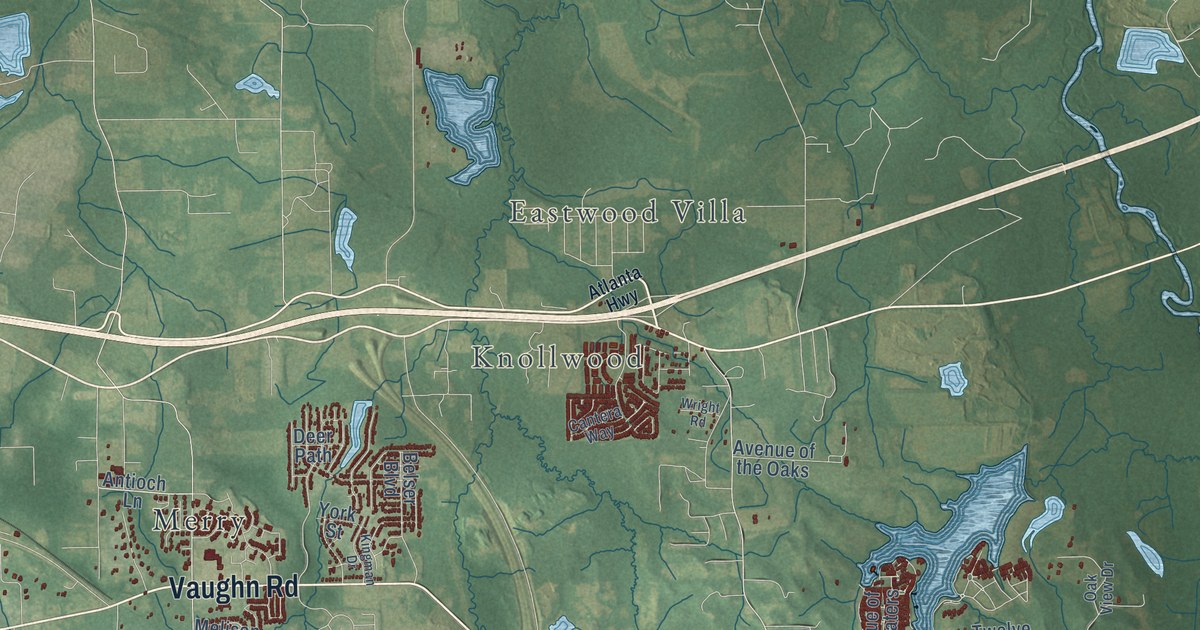
This beautifully detailed map of Pike Road, Alabama was created in 2026 using aerial imagery combined with modern topographical, census, street and landmark data. It’s a one-of-a-kind view of Pike Road that combines accurate data with a vintage aesthetic. The map shows every building in its true location, many of the roads carry their names, and the shaded topographic relief shows the shape of the land.
Explore an aerial view of Pike Road, Alabama
On the map you’ll find Eastwood Villa, Knollwood, Cecil, Foxchase, Foxwood, Foxwood Trace, McDade, Merry, Ranchette Estates, and Rolling Hills, along with Vaughn Road, Troy Highway, and more. If you look closely you can even find your house accurately drawn in its correct location. Zoom in on the preview to look for yours.
Did you know this piece of Pike Road, Alabama history?
From Encyclopediaofalabama.org: "The Pike Road Arts and Crafts Fair has been held on the first Saturday in November since 1966 on the grounds of the historic Marks House (c. mid-1820s), which is on the Alabama Register of Landmarks and Heritage."
Take a closer look at the Pike Road map
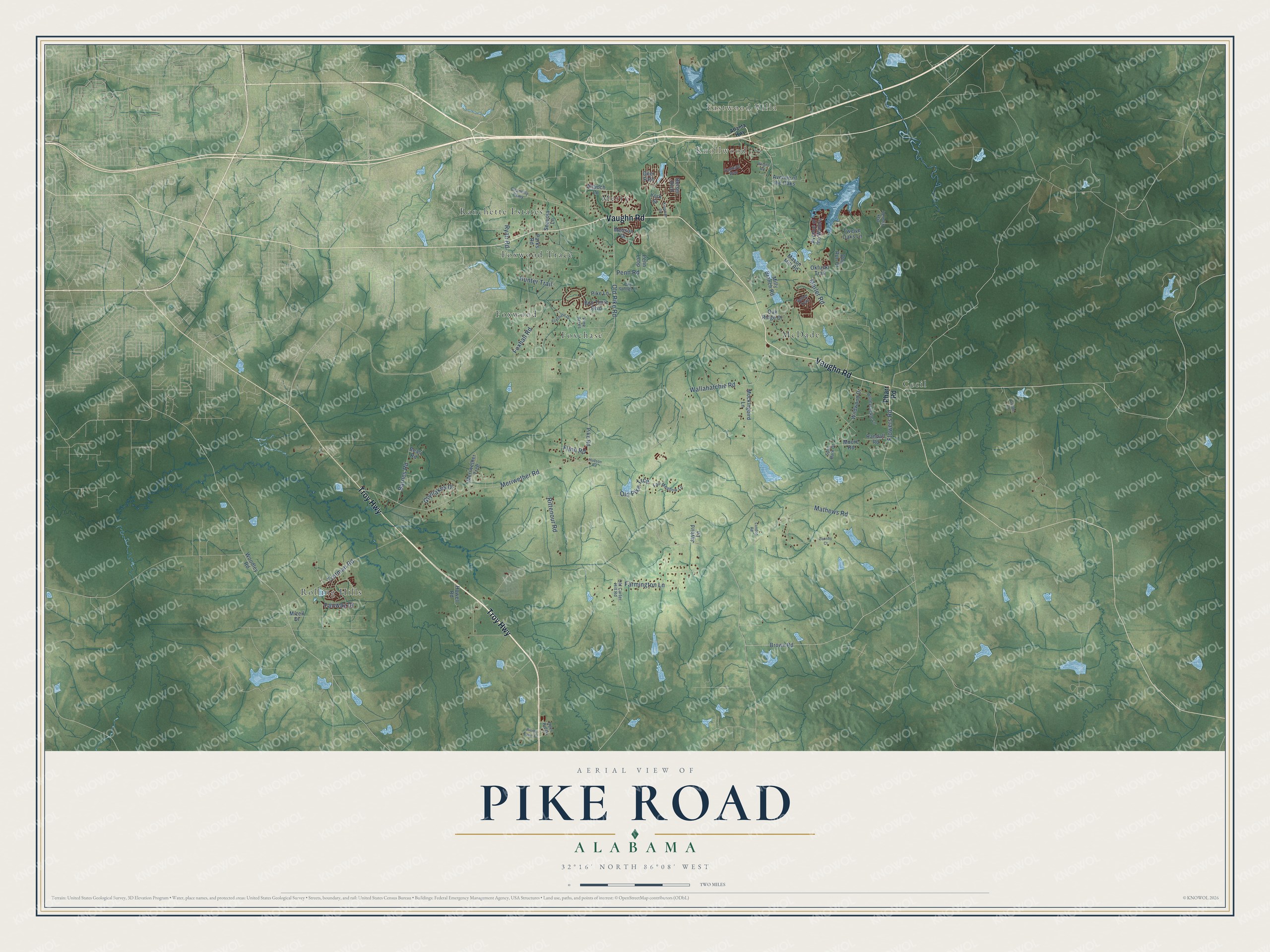
Street and place names on the Pike Road, Alabama map
These names are printed on the map of Pike Road, Alabama.
Places: Eastwood Villa, Knollwood, Cecil, Foxchase, Foxwood, Foxwood Trace, McDade, Merry, Ranchette Estates and Rolling Hills.
Streets and roads: Vaughn Road, Troy Highway, Meriwether Road, Marler Road, Old Pike Road, Wallahatchie Road, Mathews Road, Foxhall Road, Trotman Road, Rittenour Road, Farmington Lane, Flowers Road.
More street names, A to Z
Antioch Lane, Atlanta Highway, Avenue of the Oaks, Avenue of the Waters, Barnes Road, Bean Road, Belser Boulevard, Bon Terre Boulevard, Brown Road, Cantera Way, Chantilly Parkway, Dansby Court, Deer Path, Deer Ridge, Doe Run Court, Fair Meadow Lane, Fairway Drive, Flinn Road, Foxchase Drive, Glynlakes Drive, Goude Lane, Honeysuckle Lane, Howell Road, Hudson Road, Hunter Trail, Jaybird Lane, Kingman Drive, London Road, Mason Mill Road, Melison Drive, Meriwether Trce, Milly Branch Road, Mizell Drive, Mockingbird Lane, Moore Road, Oak Ridge Drive, Oak View Drive, Okfuski Trail, Old Carter Hill Road, Old Pike Trce, Parks Road, Penn Loop, Penn Road, Pharr Road, Pike Lane, Pike Road, Pike Springs Lane, Pine Acres, Randall Road, Rising Fawn Drive, Ryan Road, Sequoia Lane, Setter Trail, Split Bark Drive, Twelve Oaks Lane, Wildwood Drive, Woodley Road, Wright Road, York Street.
See the Pike Road, Alabama map on a wall
The Pike Road map as an 18 x 24 inch print in a black frame.

This beautifully detailed map of Pike Road makes an attractive addition to your office, library, or den, and it can even be used to teach children the geography and history of the area. It also makes a great gift for someone who left Pike Road and still calls it home. When you’re done exploring, click here to get your copy of the Pike Road map.