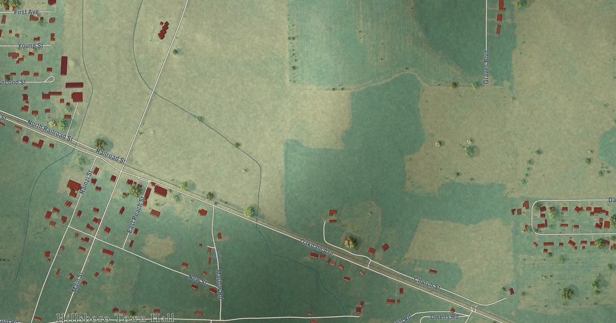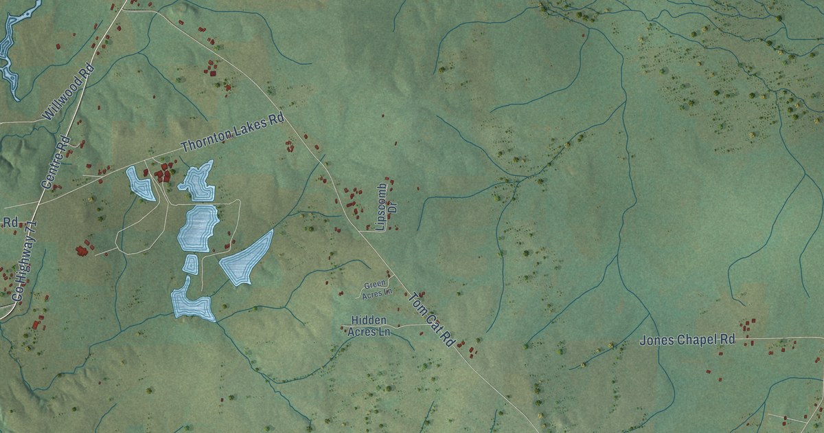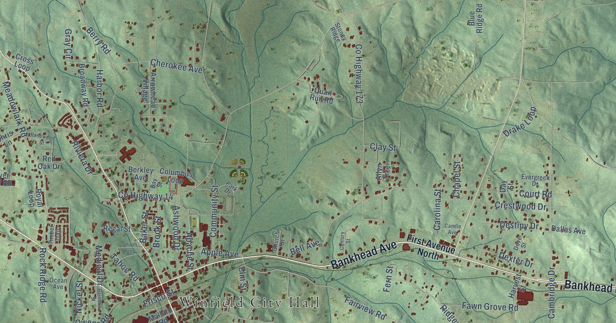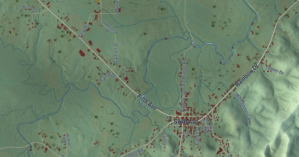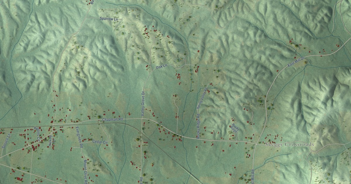
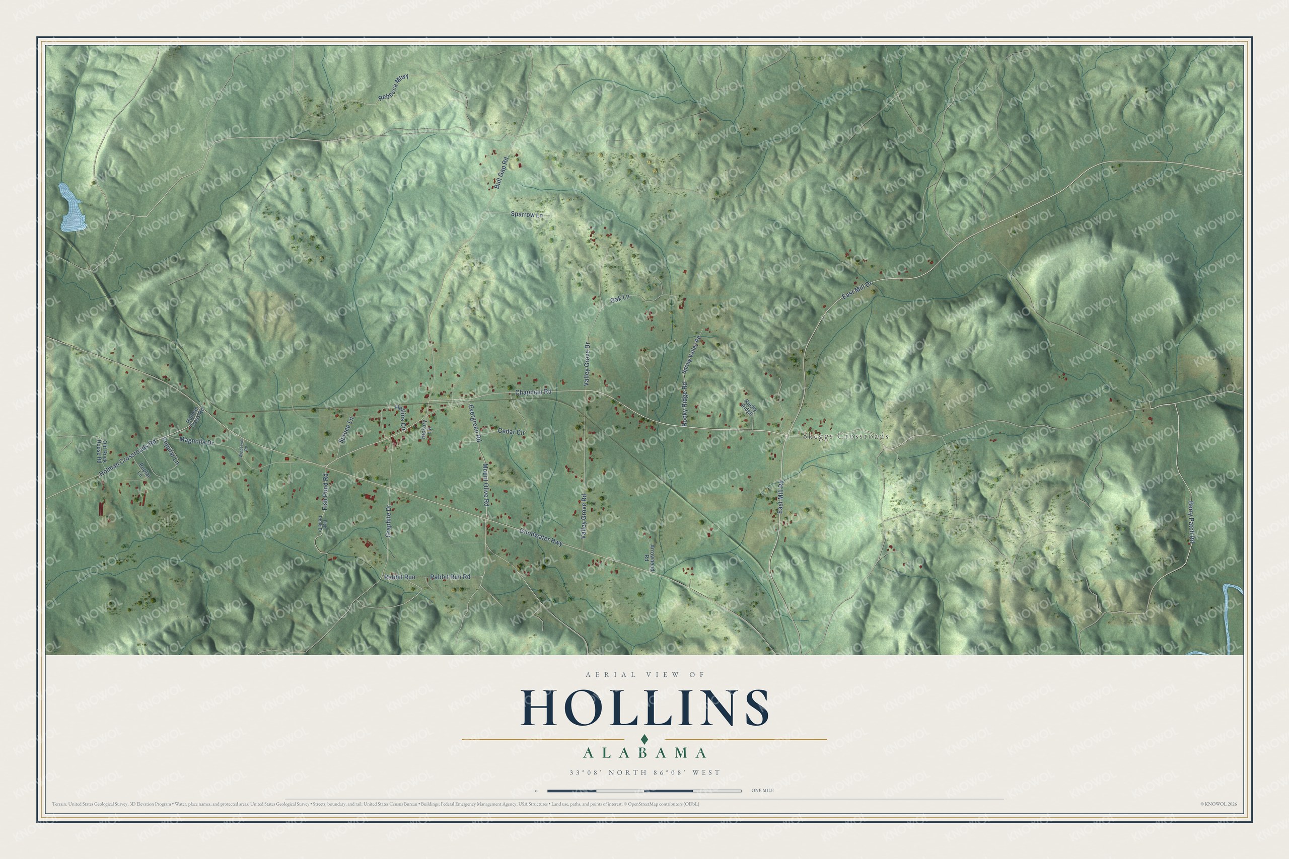
This beautifully detailed map of Hollins, Alabama was created in 2026 using aerial imagery combined with modern topographical, census, street and landmark data. It's a modern aerial view of Hollins in Clay County, Alabama, that combines modern data with a vintage aesthetic. The roads feature printed names, and if you look closely you can find your exact house accurately shown in its correct location.
Explore an aerial view of Hollins, Alabama
On this map you'll find Skeggs Crossroads, Chapman Road, East Mill Road, Berry Patch Road, Rebecca Mtwy, Fish Pond Road, Mount Olive Road, Goodwater Highway, Holman Crossroads Road, Hollins Circle, East Mill Drive, Bull Gap Road, and more. Each red shape is a building, so zoom in on the preview and look for yours.
Here is a piece of Hollins history. In 1889 a tour of the South led Pennsylvania lumberman John L. Kaul to buy an interest in a lumber company at Hollins, where he learned to manage yellow pine. He later bought out the other owners, tripled the capacity of the mills, and headed the Kaul Lumber Company. Kaul served two terms as president of the state's yellow pine manufacturers association and sat on the State board of forestry. That's from the Dictionary of Alabama Biography.
Hollins is a community in Clay County. The Census Bureau counted 517 people here in 2020.
Take a closer look at the Hollins map
Names on this map
These names are printed on this map.
Places: Skeggs Crossroads.
Streets and roads: Chapman Road, East Mill Road, Berry Patch Road, Rebecca Mtwy, Fish Pond Road, Mount Olive Road, Goodwater Highway, Holman Crossroads Road, Hollins Circle, East Mill Drive, Bull Gap Road, Evergreen Road.
More street names, A to Z
Arrowhead Road, Cedar Circle, Fish Pond Drive, Graphite Drive, Hickory Lane, Holman Cross Road, Magnolia Drive, Oak Lane, Old Rock House Road, Poplar Lane, Popular Lane, Rabbit Run, Rabbit Run Road, Rocky Ridge, Rocky Ridge Road, Sparrow Lane, Spring Valley Road, Spruce Lane, Valley Grove Drive, Valley Grove Road, Wipperwill Road.
See it on a wall
The Hollins map as a framed print. Swipe for more.


Created by KNOWOL in 2026. The buildings are small red shapes, the roads carry their printed names, and shaded relief shows the shape of the land. The title panel reads "AERIAL VIEW OF HOLLINS, ALABAMA" with 33°08' NORTH 86°08' WEST.
It suits a den, a classroom or a front hall, and it makes a gift for anyone with Hollins roots. Open the preview and find the block you know. See sizes and frames for the Hollins map.