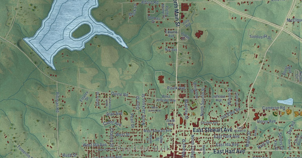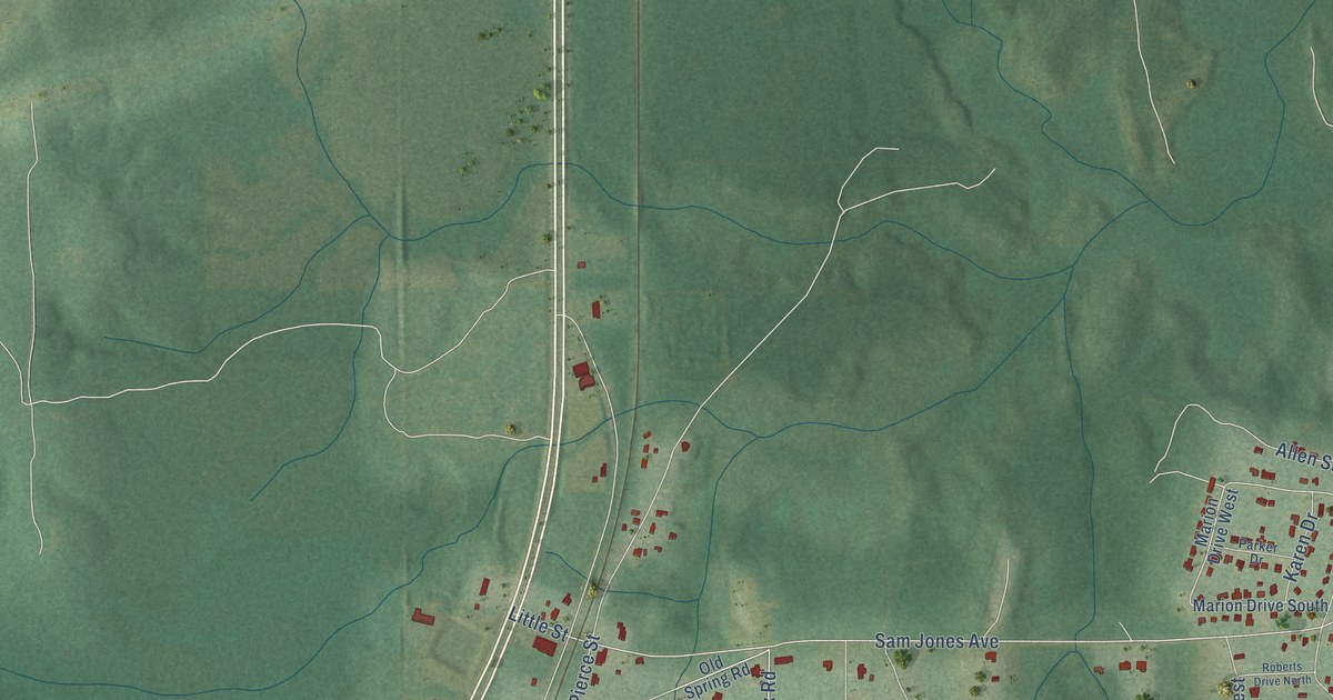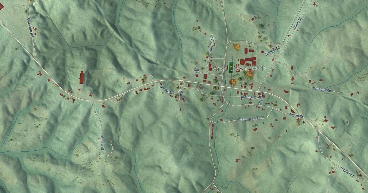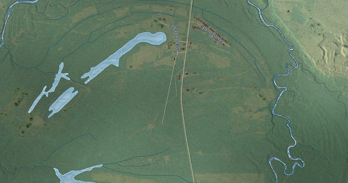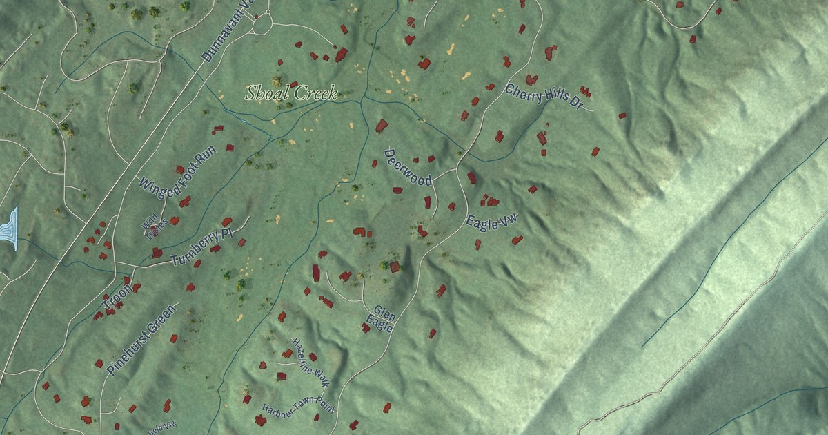
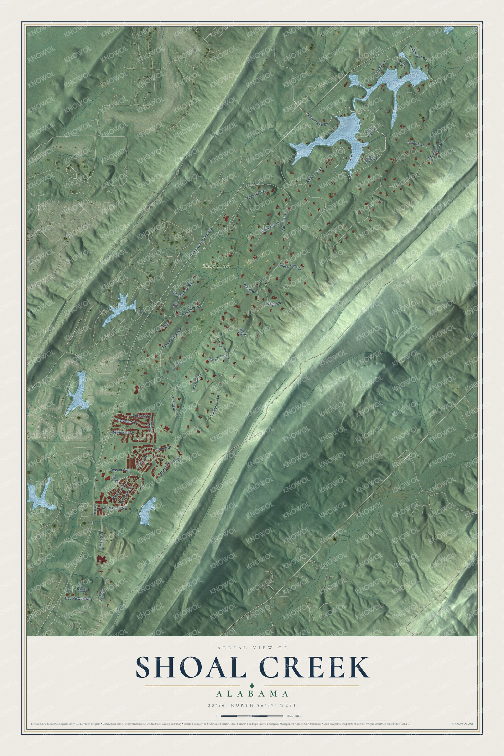
This beautifully detailed map of Shoal Creek, Alabama was created in 2026 using aerial imagery combined with modern topographical, census, street and landmark data. It's a modern aerial view of Shoal Creek in Shelby County, Alabama, that combines modern data with a vintage aesthetic. The roads feature printed names, and if you look closely you can find your exact house accurately shown in its correct location.
Explore an aerial view of Shoal Creek, Alabama
On this map you'll find Shoal Creek, Smyer Lake Road, Dunnavant Valley Road, Carnoustie, Stonegate Drive, Hollybrook Road, Olmsted Street, Hawthorn Street, Burnham Street, Double Oak Way, Nolen Street, Belvedere Cv, and more. Each red shape is a building, so zoom in on the preview and look for yours.
Shoal Creek has a story worth telling. As the story goes, Hall Thompson talked so much about the golf course he wanted to build that his wife, Lucy, told him to stop talking and start digging. In 1975 he hired a 35-year-old Jack Nicklaus, who had yet to design a course by himself in the United States, and Shoal Creek opened in 1977. It hosted the PGA Championship in 1984 and 1990 and the U.S. Amateur in 1986. That's from the LINKS golf magazine.
Shoal Creek is a community in Shelby County. The Census Bureau counted 1,668 people here in 2020.
Take a closer look at the Shoal Creek map
Names on this map
These names are printed on this map.
Places: Shoal Creek.
Streets and roads: Smyer Lake Road, Dunnavant Valley Road, Carnoustie, Stonegate Drive, Hollybrook Road, Olmsted Street, Hawthorn Street, Burnham Street, Double Oak Way, Nolen Street, Belvedere Cv, Innisbrook Lane.
More street names, A to Z
Abbott Square, Augusta Way, Baltusrol Court, Belvedere Drive, Brook Lane, Chateau Way, Cherry Hills Drive, Deerwood, Double Oak Court, Double Oak Crst, Downing Drive, Eagle Vw, Elyton Drive, Galway Trail, Glen Eagle, Harbour Town Point, Hazeltine Walk, Holly Way, Kessler Avenue, Lancaster Circle, Manning Place, Montagel, Mount Laurel Avenue, Muirfield Vig, Perry Place, Pinehurst Green, Saintfield Lane, Smyer Lake Lane, Smyer Lake Way, Troon, Turnberry Place, Vineyard Lane, Wild Dunes, Winged Foot Run.
See it on a wall
The Shoal Creek map as a framed print. Swipe for more.


Created by KNOWOL in 2026. The buildings are small red shapes, the roads carry their printed names, and shaded relief shows the shape of the land. The title panel reads "AERIAL VIEW OF SHOAL CREEK, ALABAMA" with 33°26' NORTH 86°37' WEST.
It looks right in a kitchen, an office or a den, and it's a gift for anyone who grew up in Shoal Creek or moved away. Open the preview and find your street. See sizes and frames for the Shoal Creek map.