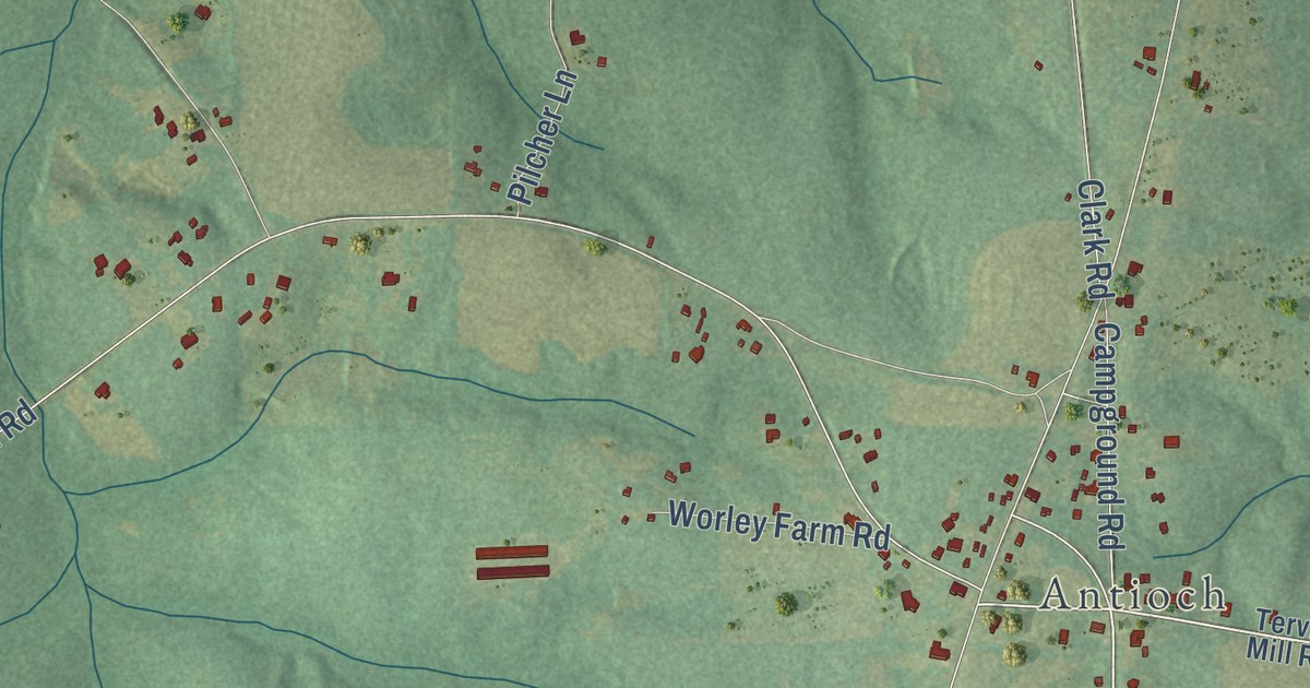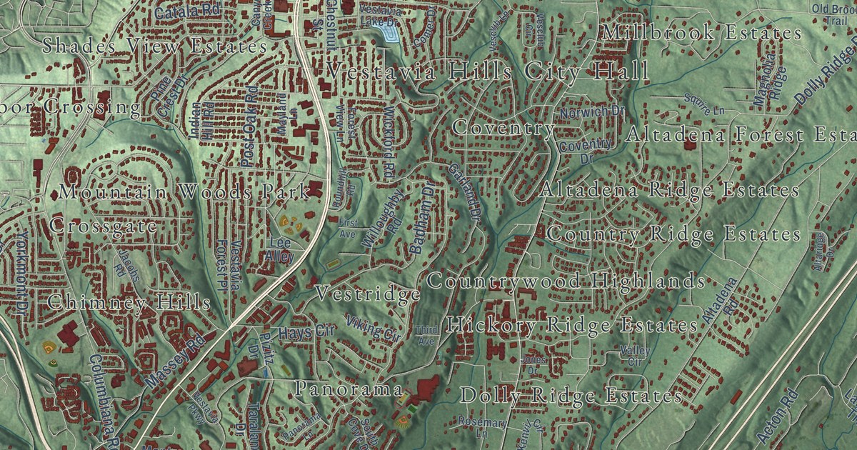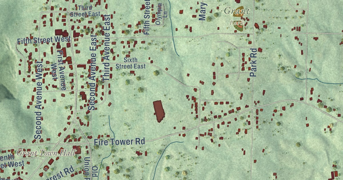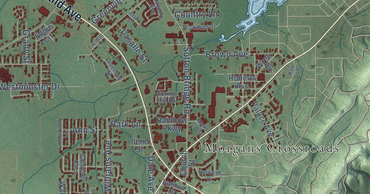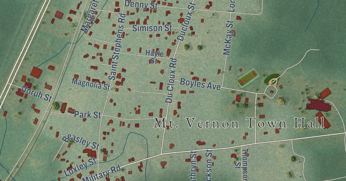
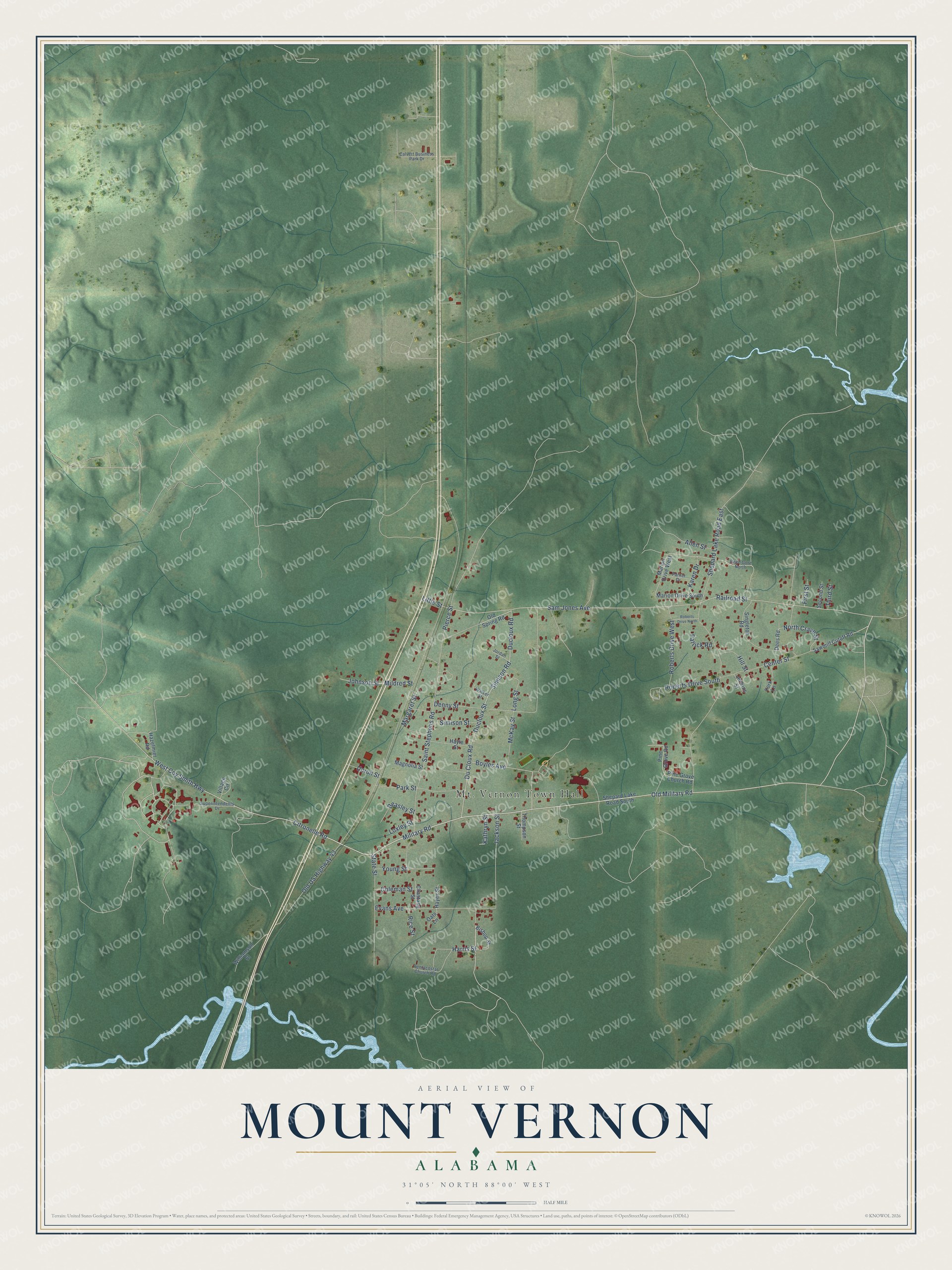
This beautifully detailed map of Mount Vernon, Alabama was created in 2026 using aerial imagery combined with modern topographical, census, street and landmark data. It’s a one-of-a-kind view of Mount Vernon that combines accurate data with a vintage aesthetic. The map shows every building in its true location, many of the roads carry their names, and the shaded topographic relief shows the shape of the land.
Explore an aerial view of Mount Vernon, Alabama
On the map you’ll find Old Military Road, Military Road, Boyles Avenue, Sam Jones Avenue, Harris Street, Ducloux Road, Simison Road, Citronelle Road, Ducloux Street, Long Street, North Crave Street, and more. If you look closely you can even find your house accurately drawn in its correct location. Zoom in on the preview to look for yours.
Did you know this piece of Mount Vernon, Alabama history?
Colonel Thomas H. Cushing set up an Army cantonment at Mount Vernon Springs in December 1811. During the Creek War it was headquarters for General Claiborne and his forces. Congress approved an arsenal here in 1828. A small garrison held it until the war broke out in 1861. That’s from the 1921 History of Alabama.
Take a closer look at the Mount Vernon map
Street and place names on the Mount Vernon, Alabama map
These names are printed on the map of Mount Vernon, Alabama.
Places: Mt. Vernon Town Hall.
Streets and roads: Old Military Road, Military Road, Boyles Avenue, Sam Jones Avenue, Harris Street, Ducloux Road, Du Cloux Road, Simison Road, Citronelle Road, Ducloux Street, Long Street, North Crave Street.
More street names, A to Z
Allen Street, Beasley Street, Bishop Street, Calvert Business Park Drive, Center Street, Chastang Street, Coleman Street, Dees Road, Denny Street, Evans Avenue, First Street, Hayes Street, Hayle Street, Hazelmier Road, Hill Street, Jackson Street, Jenkins Street, Johnson Street, Jordan Street, Karen Drive, Kathryn Street, Little Street, Loxley Street, Magnolia Street, Margaret Street, Marion Drive South, Marion Drive West, McKay Street, Mildred Street, Oats Lane, Old Spring Road, Old US Highway 43, Parker Drive, Park Street, Patrick Road, Pentacostal Church Road, Pierce Street, Pine Grove Church Road, Pine Grove Road, Railroad Street, Reed Gore North, Rice Street, Roberts Drive North, Roberts Drive South, Roberts Drive West, Saint Stephens Road, Sawmill Cutoff Road, Second Street, Shepard Lake Road East, Shepard Lake Road South, Simison Street, Singleton Road, State Street, Superintendents Drive, Third Street, Thompson Street, Unruh Street, Village Circle, Walker Street, West Coy Smith Highway, Williamson Street, York Lane, Young Street.
See the Mount Vernon, Alabama map on a wall
The Mount Vernon map as an 18 x 24 inch print in a black frame.

This beautifully detailed map of Mount Vernon makes an attractive addition to your office, library, or den, and it can even be used to teach children the geography and history of the area. It also makes a great gift for anyone with Mount Vernon roots. When you’re done exploring, click here to get your copy of the Mount Vernon map.