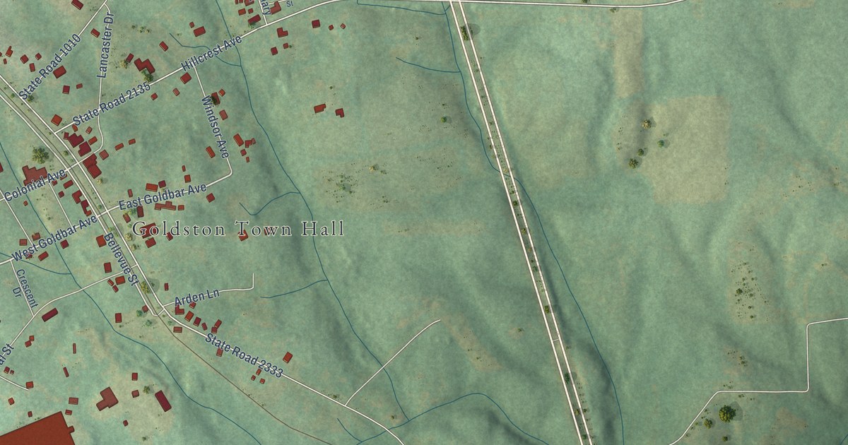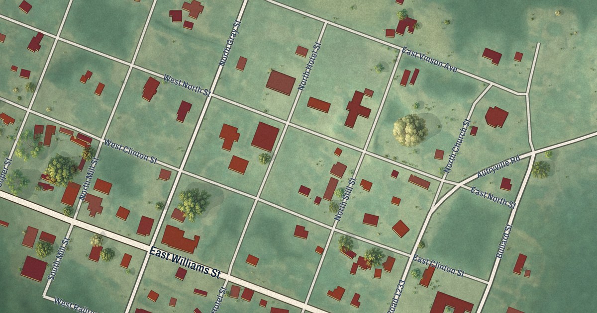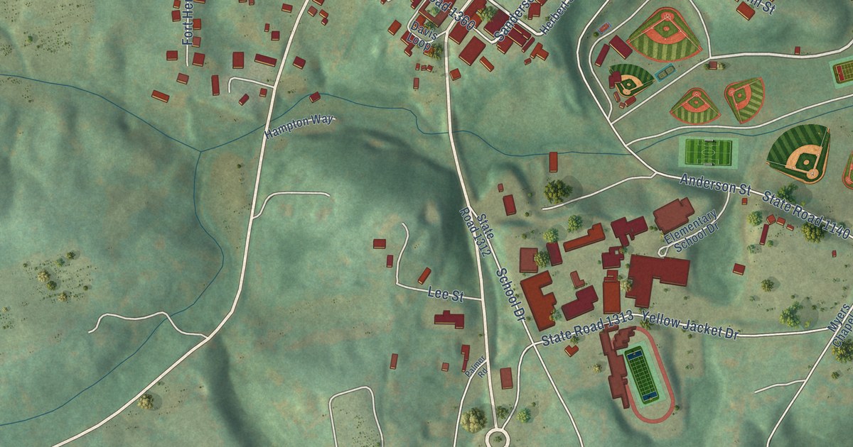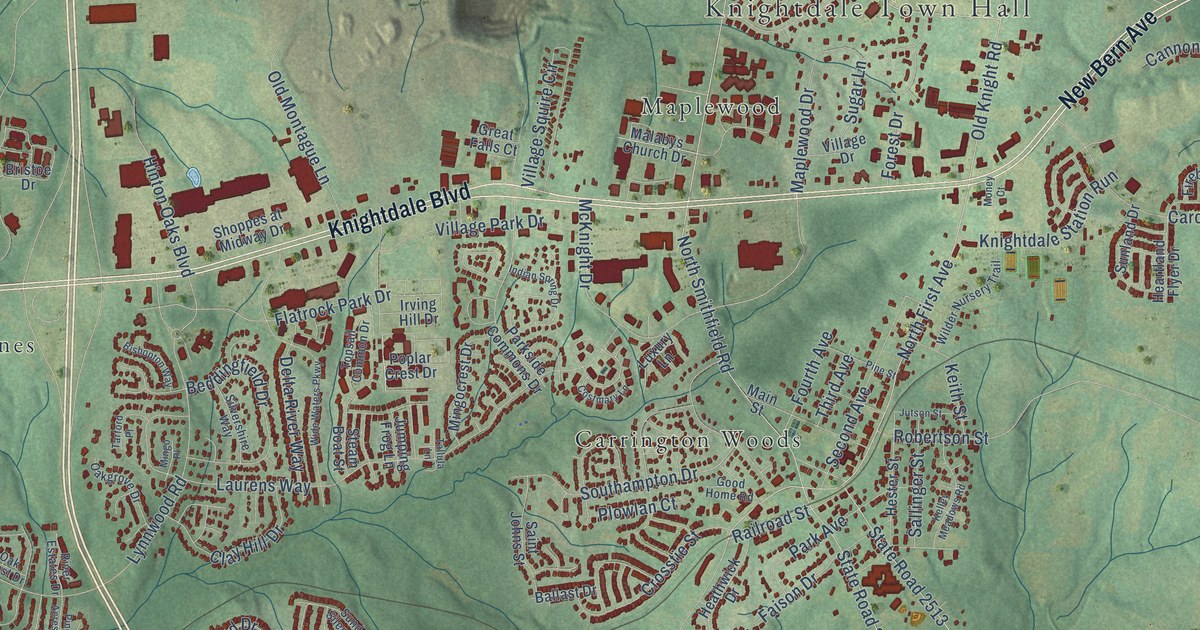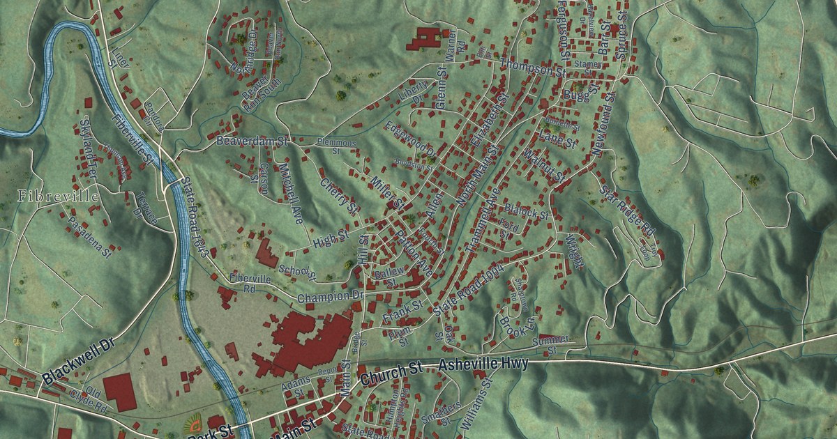
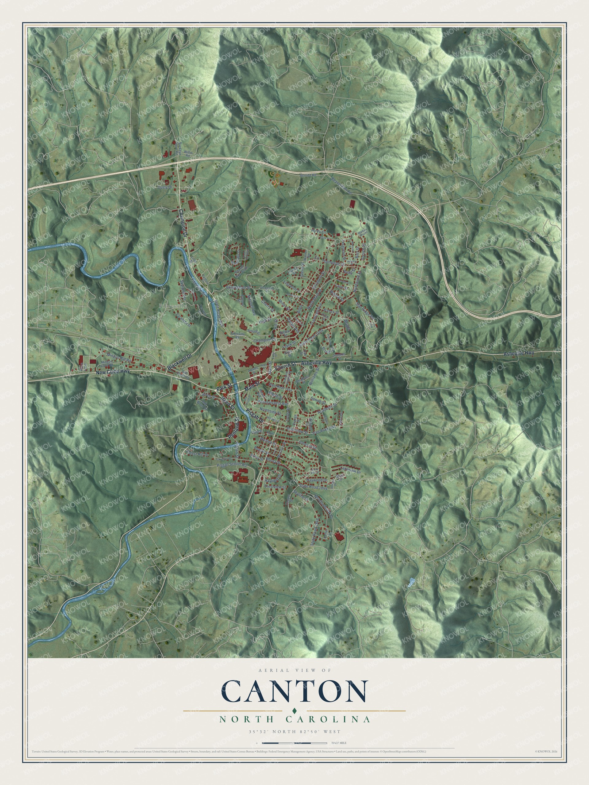
This beautifully detailed map of Canton, North Carolina was created in 2026 using aerial imagery combined with modern topographical, census, street and landmark data. It's a modern aerial view of Canton in Haywood County, North Carolina, that combines modern data with a vintage aesthetic. The roads feature printed names, and if you look closely you can find your exact house accurately shown in its correct location.
Explore an aerial view of Canton, North Carolina
On this map you'll find Fibreville, Blackwell Drive, Main Street, Reed Street, Penland Street, Church Street, Champion Drive, Asheville Highway, Pisgah Drive, New Clyde Highway, Park Street, State Road 1643, and more. Each red shape is a building, so zoom in on the preview and look for yours.
Canton has a story worth telling. The record at dncr.nc.gov puts it this way: "The Reverend Nehemiah Bonham founded Morning Star Church in 1825 near present-day Canton in Haywood County."
Canton is a town in Haywood County. The Census Bureau counted 4,422 people here in 2020.
Take a closer look at the Canton map
Names on this map
These names are printed on this map.
Places: Fibreville.
Streets and roads: Blackwell Drive, Main Street, Reed Street, Penland Street, Church Street, Champion Drive, Asheville Highway, Pisgah Drive, New Clyde Highway, Park Street, State Road 1643, North Main Street.
More street names, A to Z
Academy Street, Adams Street, Allen, Axley Street, Ballew Street, Barr Street, Beaverdam Road, Beaverdam Street, Beaver Run North, Beaver Run South, Birch Street, Blalock Street, Bob Wood Drive, Boydston Street, Bridge Street, Brook Lane, Buckeye Cove Road, Buena Vista Street, Bugg Street, Burnette Street, Carson Street, Cherry Street, Cooper Street, Crestview Street, Depot Street, Dotson Drive, Dusty Drive, East Street, Edgewood Drive, Elaine Drive, Elizabeth Street, Elm Street, Ferguson Street, Fiberville Road, Fiberville Street, Ford Street, Forest Hill Drive, Fourth Street, Frank Street, Glenn Street, Hampton Heights Road, Hayfield Drive, Haywood Drive, Hazelview Drive, High Street, Hillcrest Street, Hillside Street, Hill Street, Holtzclaw Street, Hy Vu Drive, Johnson Drive, Lakeview Drive, Lane Street, Laura Drive, Liberty Drive, Liner Street, Locust Street, Mama's Mount, Maple Street, Mc Clure Street, Meadowbrook Drive, Mears Avenue, Miller Street, Mingus Cove Road, Mingus Hill Road, Mitchell Avenue, Newfound Street, Northridge Drive, Northside Street, North Street, Oak Street, Old Clyde Road, Old Pisgah Drive, Orange Street, Pandora Circle, Pasadena Street, Patton Avenue, Pennsylvania Avenue, Pigeon Street, Pisgah School Road, Plaza Loop, Plemmons Street, Plum Street, Poplar Street, Potter Street, Rhoda Street, School Street, Service Road, Sharptown Road, Shull Circle, Skyland Terrace, Skyline Drive, Smathers Street, Spring Street, Spruce Street, Stamey Street, Star Ridge Road, State Road 1004, State Road 1840, State Road 1844, State Road 1848, State Road 1854, Substation Road, Summer Street, Terrace Drive, Thompson Street, Thomson Avenue, Trammell Avenue, Troy Loop, Vance, Walnut Street, Warner Road, Wesley Street, Williams Street, Willis Road, Winfield Street, Wright.
Created by KNOWOL in 2026. The buildings are small red shapes, the roads carry their printed names, and shaded relief shows the shape of the land. The title panel reads "AERIAL VIEW OF CANTON NORTH CAROLINA" with 35°32' NORTH 82°50' WEST.
It looks right in a kitchen, an office or a den, and it's a gift for anyone who grew up in Canton or moved away. Open the preview and find your street. See sizes and frames for the Canton map.