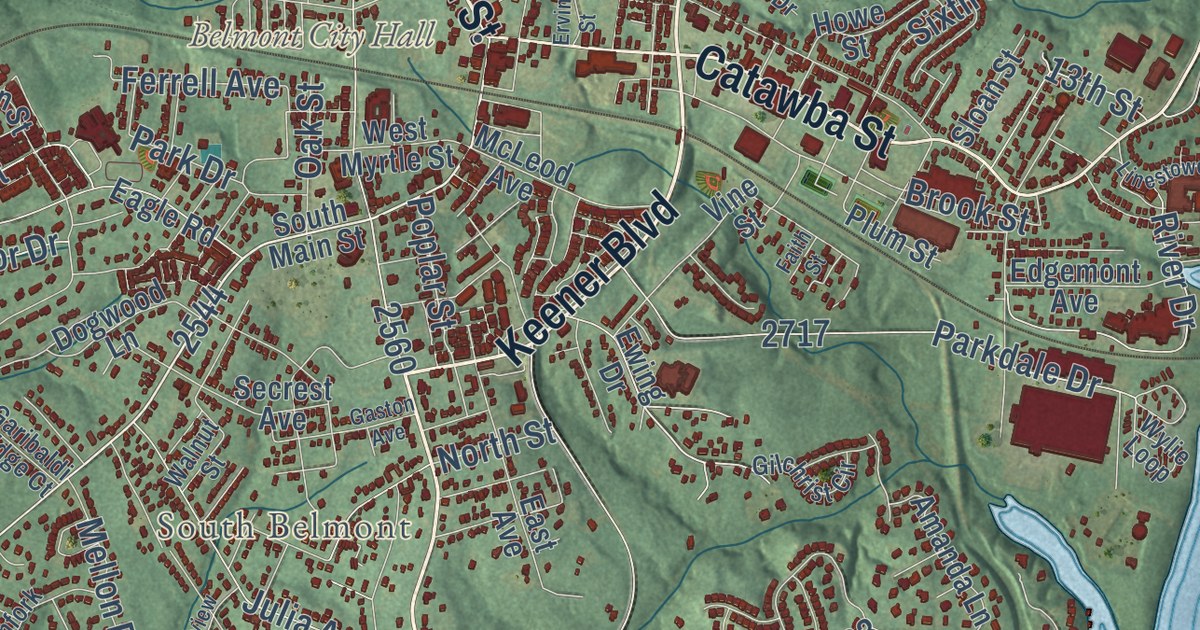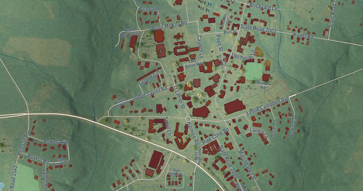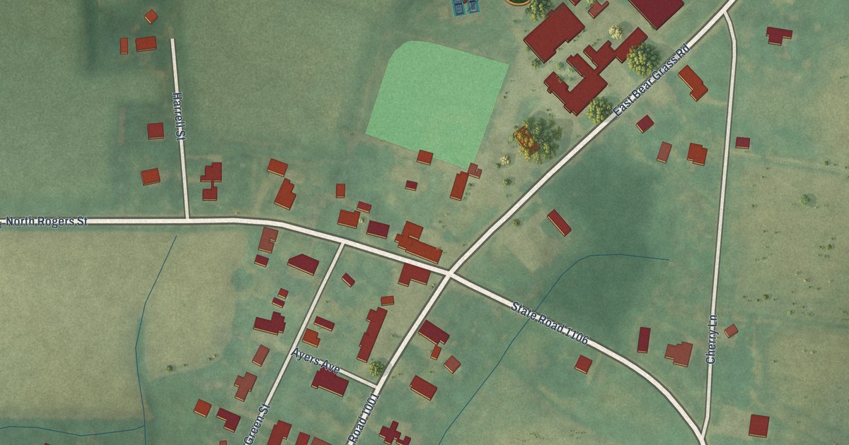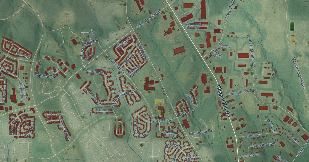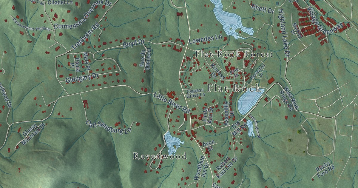
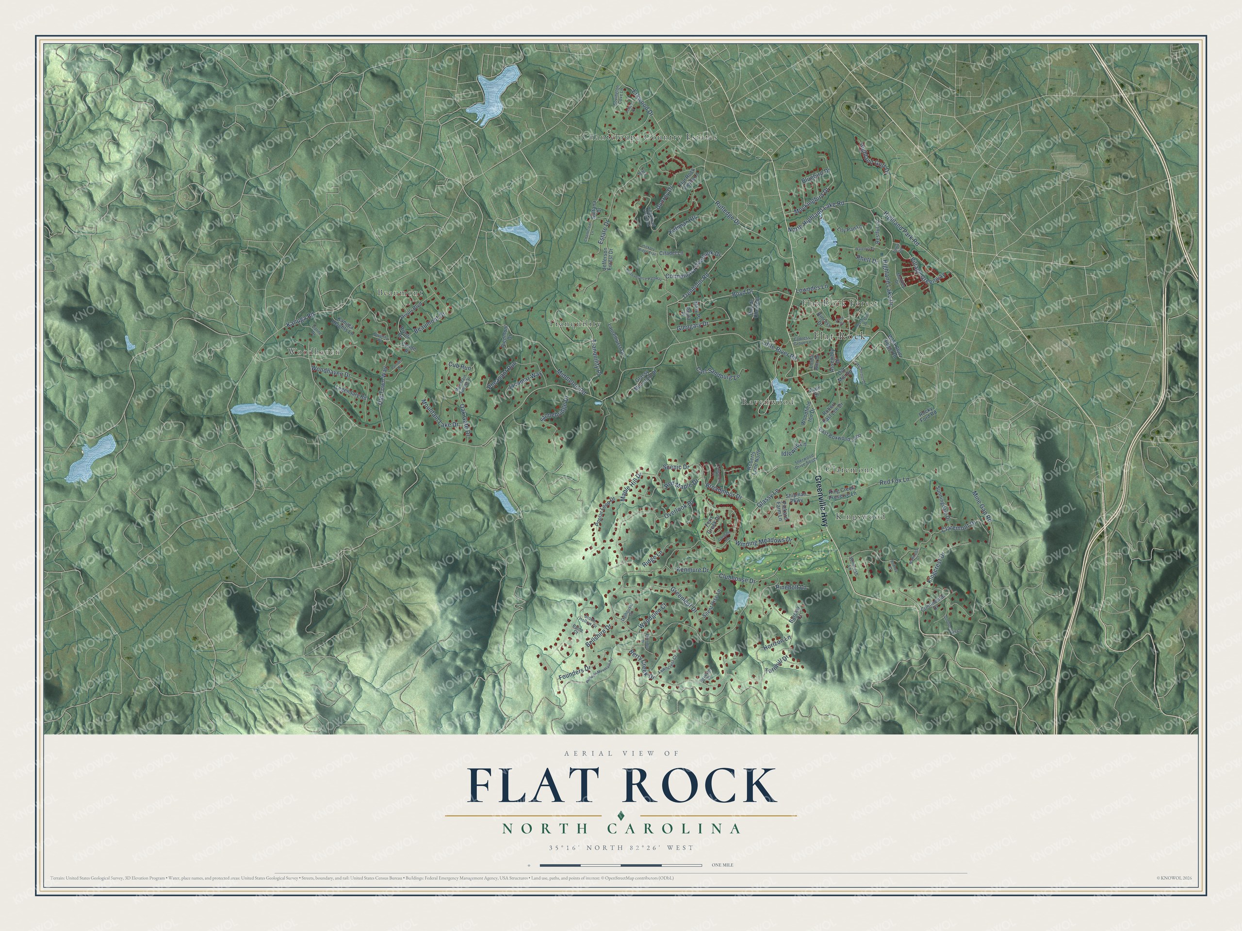
This beautifully detailed map of Flat Rock, North Carolina was created in 2026 using aerial imagery combined with modern topographical, census, street and landmark data. It’s a one-of-a-kind view of Flat Rock that combines accurate data with a vintage aesthetic. The map shows every building in its true location, many of the roads carry their names, and the shaded topographic relief shows the shape of the land.
Explore an aerial view of Flat Rock, North Carolina
On the map you’ll find Beaumont, Chanteloupe Country Estates, Claremont, Flat Rock Forest, Kingswood, Ravenwood, Tranquility, and Woodhaven, along with Greenville Highway, Winding Meadows Drive, Little River Road, and more. If you look closely you can even find your house accurately drawn in its correct location. Zoom in on the preview to look for yours.
Did you know this piece of Flat Rock, North Carolina history?
Flat Rock took its name from a massive granite outcrop that Cherokee people used as a ceremonial ground and summer campsite before later settlement began there. That’s from the North Carolina historical marker program.
Take a closer look at the Flat Rock map
Street and place names on the Flat Rock, North Carolina map
These names are printed on the map of Flat Rock, North Carolina.
Places: Flat Rock, Beaumont, Chanteloupe Country Estates, Claremont, Flat Rock Forest, Kingswood, Ravenwood, Tranquility and Woodhaven.
Streets and roads: Greenville Highway, Winding Meadows Drive, Little River Road, Kenmure Drive, Overlook Drive, Berry Creek Drive, Middleton Road, Claremont Drive, Beaumont Drive, Tranquility Place, Dunroy Drive, Mine Gap Road.
More street names, A to Z
Ashley Place, Assembly Drive, Avon Street, Barclay Court, Bellshire Drive, Bluebird Drive, Boyd Drive, Broadmoor Drive, Brook Hollow Drive, Carl Sandburg Lane, Chanticleer Lane, Citadel Lane, Clubhouse Drive, Conde Place, Connemara Overlook Drive, Continental Drive, Covington Cove Lane, Cub Run, Cypress Grove Lane, Dalhousie Court, Divinity Place, Dorne Drive, Doublecreek Lane, East Boxwood Loop, Elmridge Drive, Erkwood Drive, Estate Drive, Fawncrest Court, Fern Creek Drive, Flat Rock Fields Lane, Founders Drive, Glassy Lane, Glassy Mountain Drive, Glengary Drive, Golfside Drive, Greenleaf Drive, Hickory Ridge Trail, Highland Golf Drive, Highland Lake Drive, Highland Park Road, High Road Overlook, Horizon Lane, Idlewild Lane, Jacamar Way, Jefferson Forest Drive, Kalimar Heights, Kanuga Heights Lane, Kanuga Road, King Creek Preserve Lane, Kingcrest Drive, Kinross Drive, Lake Jordan Drive, Laurelhurst Drive, Ledgemont Court, Legendary Road, Lily Pad Lane, Linda Ann Drive, Lowndes Lane, Maple Hill Drive, Markley Drive, Mary Place, Mockingbird Drive, Mountain Lake Drive, Mountain Spring Drive, North Highland Lake Road, Oak Gate Drive, Old Mill Road, Old Town Way, Paine Court, Patriots Drive, Paula Place, Perseverance Pathway, Pheasant Run, Pickard Farm Lane, Piedmont Drive, Pine Drive, Pineholt Lane, Pinnacle Mountain Road, Poplar Loop Drive, Recreation Drive, Red Fox Lane, Red Maple Drive, Restful Lane, Rhett Drive, Ridge Lane, Rivoli Boulevard, Rivoli Drive, Robert East Lee Drive, Roberts Lane North, Rocky Ford Road, Rodney Court, Roxworth Court, Rue de Choiseul, Rutledge Drive, Scenic Drive, Sherwood Drive South, Shipman Parkway, Silent Rise Lane, Stonebridge Drive, Sultana Drive, Sunningdale Drive, Tara Place, Tarnhill Drive, Town Circle, Trenholm Road, Village Greenway, Wallington Court, Waterlily Drive, West Blue Ridge Road, Windrush Lane, Woodfield Inn Drive, Woodglen Court, Woodhaven Drive.
See the Flat Rock, North Carolina map on a wall
The Flat Rock map as an 18 x 24 inch print in a black frame.

This beautifully detailed map of Flat Rock makes an attractive addition to your office, library, or den, and it can even be used to teach children the geography and history of the area. It also makes a great gift for anyone with Flat Rock roots. When you’re done exploring, click here to get your copy of the Flat Rock map.