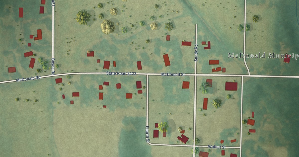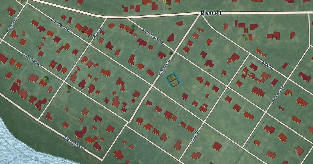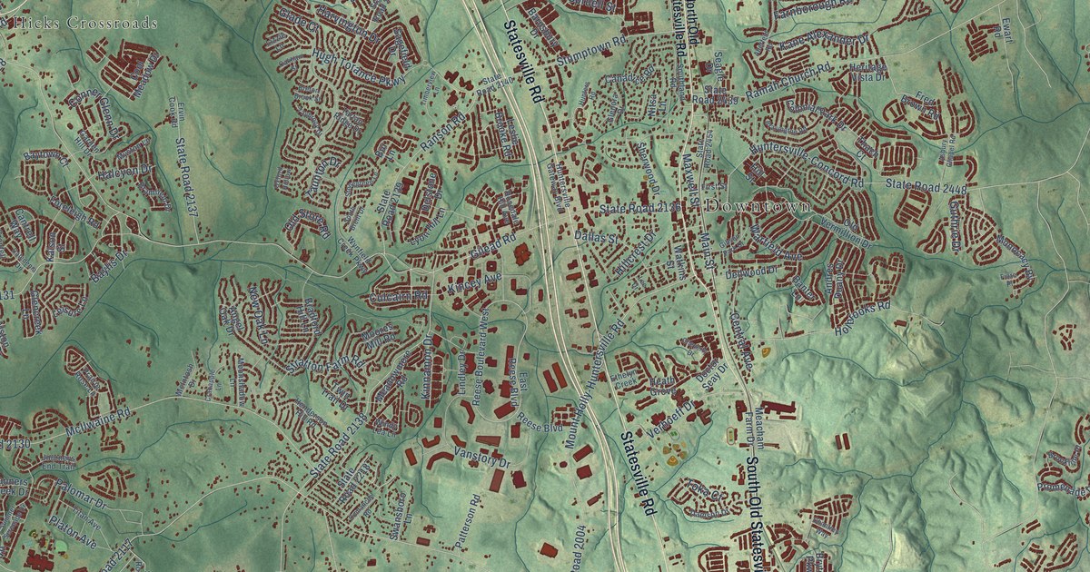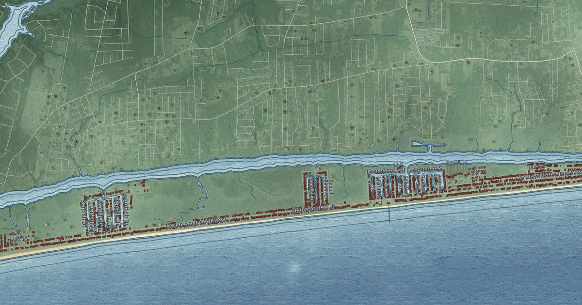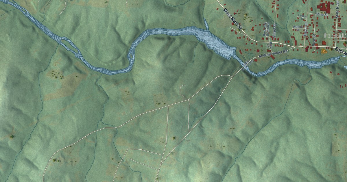
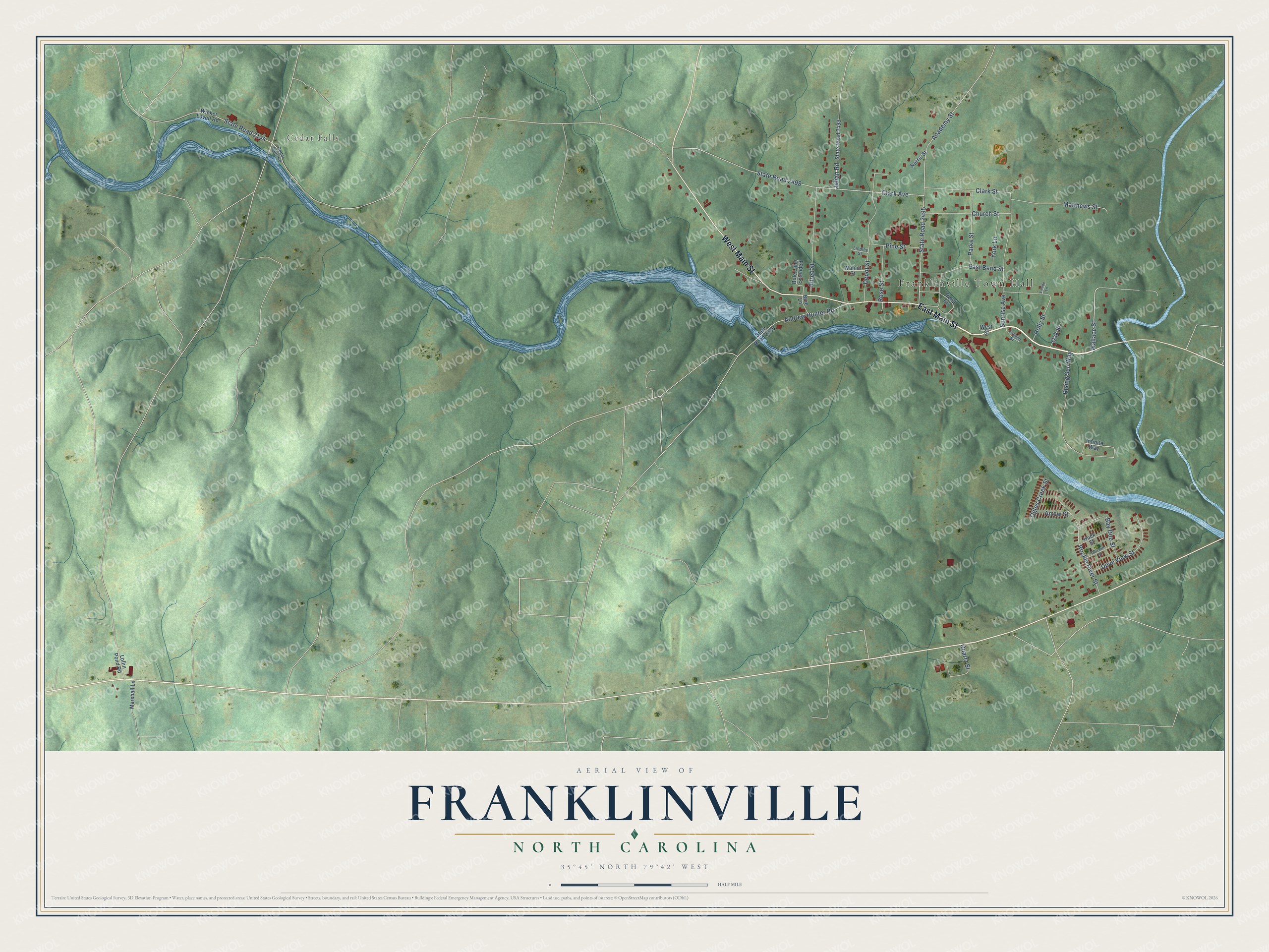
This beautifully detailed map of Franklinville, North Carolina was created in 2026 using aerial imagery combined with modern topographical, census, street and landmark data. It's a modern aerial view of Franklinville in Randolph County, North Carolina, that combines modern data with a vintage aesthetic. The roads feature printed names, and if you look closely you can find your exact house accurately shown in its correct location.
Explore an aerial view of Franklinville, North Carolina
On this map you'll find Franklinville Town Hall, Cedar Falls, East Main Street, West Main Street, Wallace Street, Academy Street, State Road 2495, Clark Avenue, State Road 2498, Rising Sun Way, Sunrise Avenue, Rockie River Street, and more. Each red shape is a building, so zoom in on the preview and look for yours.
Franklinville has a story worth telling. The North Carolina Gazetteer puts it this way: "Franklinville town in E Randolph County on Deep River. Inc. 1847 as Franklinsville. Named in honor of Jesse Franklin (1760-1832), governor of North Carolina, 1820-21. Site acquired in 1801 by Christian Morris, who built a gristmill there; purchased in 1820 by Elisha Coffin, who, with others, built a cotton mill there in 1838."
Franklinville is a town in Randolph County. The Census Bureau counted 1,197 people here in 2020.
Take a closer look at the Franklinville map
Names on this map
These names are printed on this map.
Places: Franklinville Town Hall and Cedar Falls.
Streets and roads: East Main Street, West Main Street, Wallace Street, Academy Street, State Road 2495, Clark Avenue, State Road 2498, Rising Sun Way, Sunrise Avenue, Rockie River Street, Depot Street, Allred Street.
More street names, A to Z
Andrew Hunter Road, Arrow Street, Bay Doe Street, Buie Lane, Buie Lane Extended, Cedar Falls Road, Church Street, Clark Street, Craven Street, Dawson Street, Dove View Street, East Bend Street, Holly Street, Huck Street, Infinite Way, Julian Road, Lambe Lane, Lindley Street, Loflin Pond Road, Marshall Lane, Matthews Street, Norris Street, Oak Street, Ogles Creek Street, Parks Street, Pine Street, Pond Circle, Quartz Street, Rose Street, State Road 2144, State Road 2235, State Road 2499, Walnut Street, West Street, Wicker Lovell Road, York Lane.
Created by KNOWOL in 2026. The buildings are small red shapes, the roads carry their printed names, and shaded relief shows the shape of the land. The title panel reads "AERIAL VIEW OF FRANKLINVILLE NORTH CAROLINA" with 35°45' NORTH 79°42' WEST.
It looks right in a kitchen, an office or a den, and it's a gift for anyone who grew up in Franklinville or moved away. Open the preview and find your street. See sizes and frames for the Franklinville map.