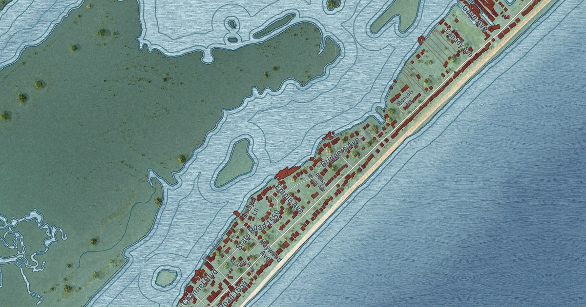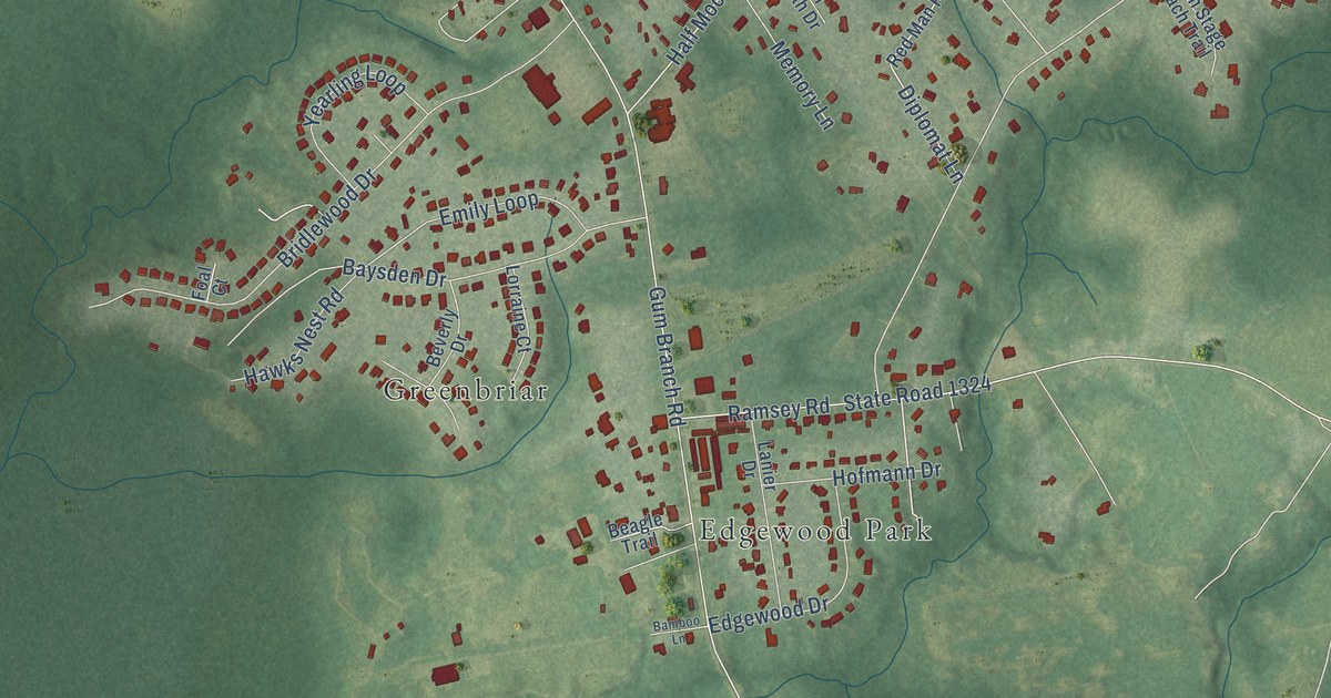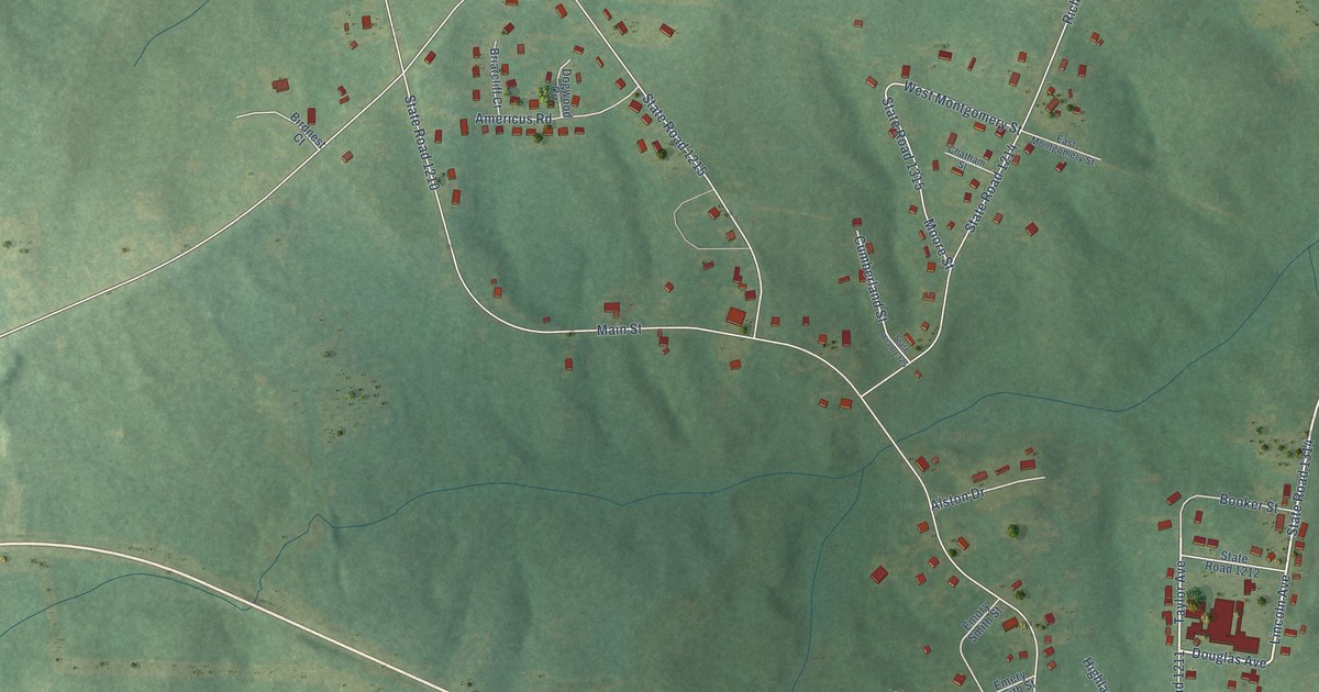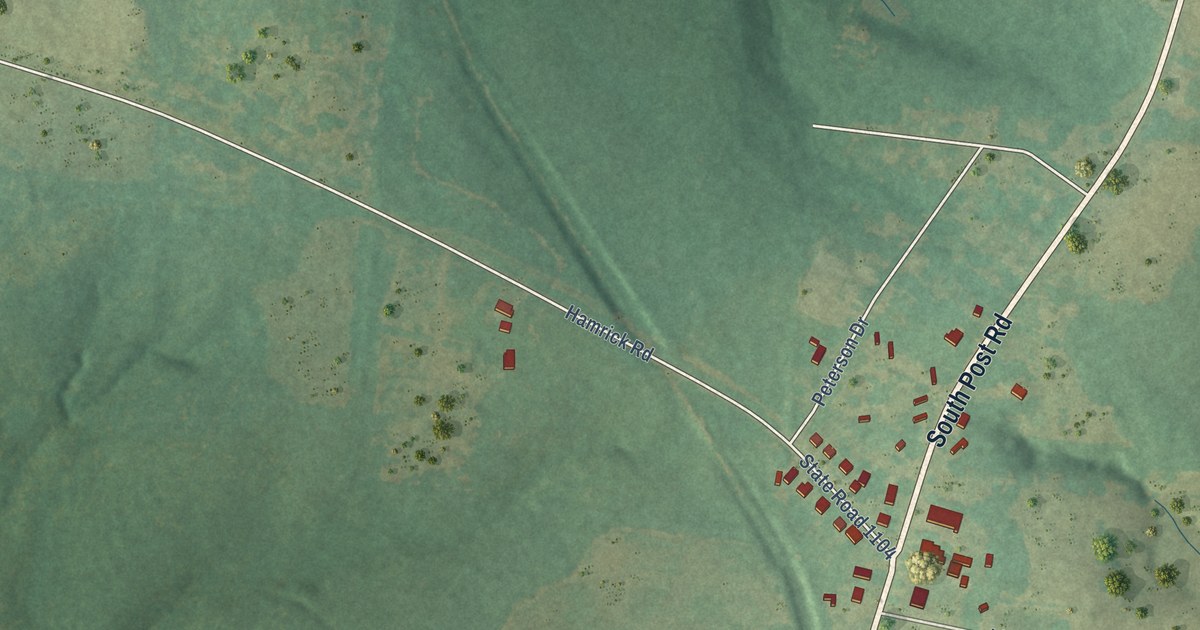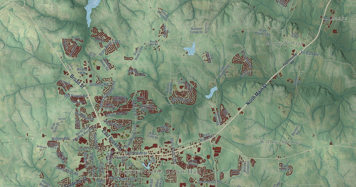
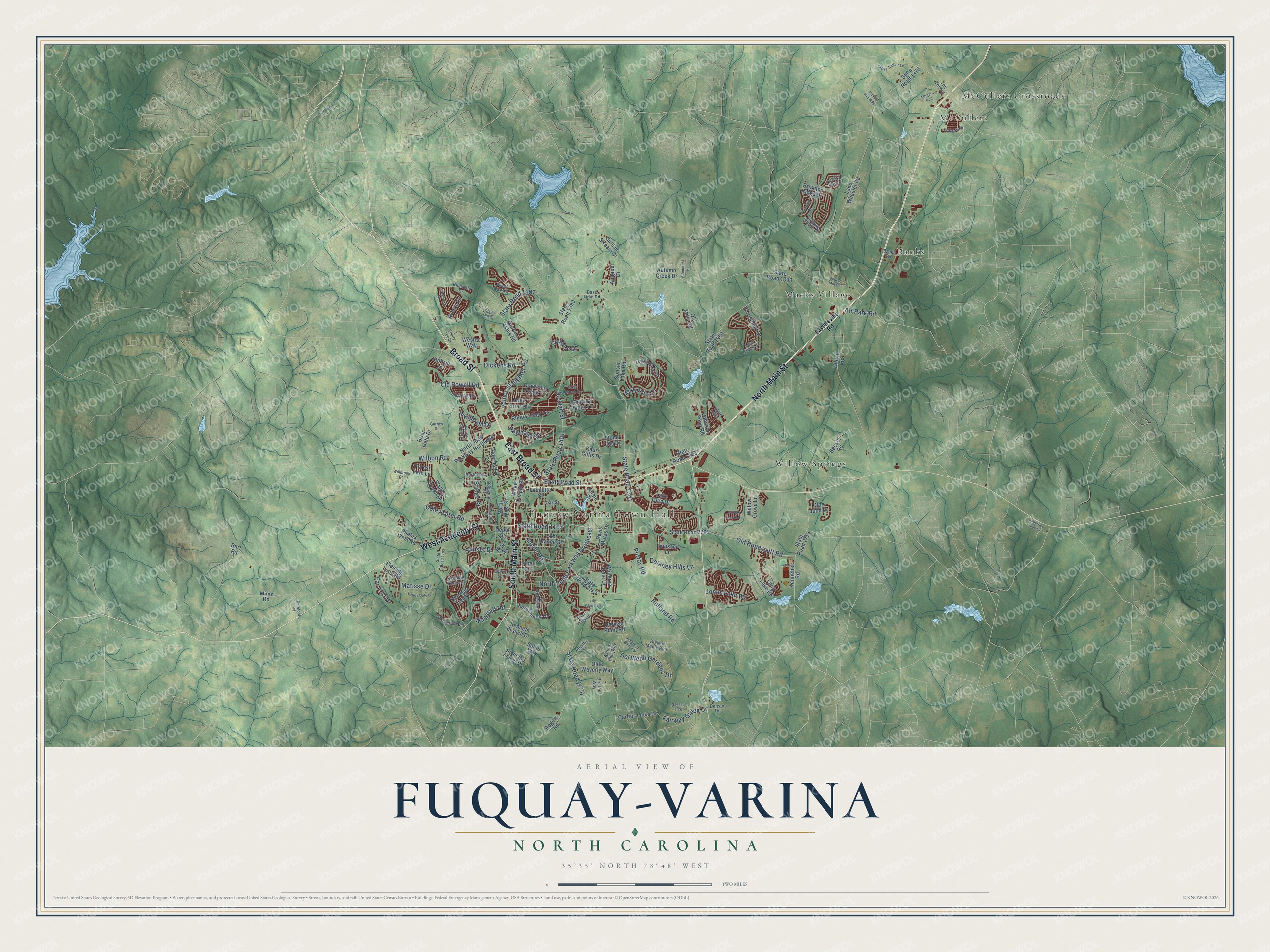
This beautifully detailed map of Fuquay-Varina, North Carolina was created in 2026 using aerial imagery combined with modern topographical, census, street and landmark data. It's a modern aerial view of Fuquay-Varina in Wake County, North Carolina, that combines modern data with a vintage aesthetic. The roads feature printed names, and if you look closely you can find your exact house accurately shown in its correct location.
Explore an aerial view of Fuquay-Varina, North Carolina
On this map you'll find Fuquay-Varina Town Hall, Banks, Macks Village, McCullers, McCullers Crossroads, Willow Springs, North Main Street, Broad Street, South Main Street, West Academy Street, East Broad Street, State Road 1301, and more. Each red shape is a building, so zoom in on the preview and look for yours.
Fuquay-Varina has a story worth telling. The North Carolina Gazetteer puts it this way: "Fuquay-Varina town in SW Wake County N of Harnett County line. Settled prior to 1860. Inc. 1909 as Fuquay Springs, taking its name from David and Stephen Fuquay, early settlers. In 1963 merged with nearby town of Varina, which see, and assumed its present name."
Fuquay-Varina is a town in Wake County. The Census Bureau counted 34,152 people here in 2020.
Take a closer look at the Fuquay-Varina map
Names on this map
These names are printed on this map.
Places: Fuquay-Varina Town Hall, Banks, Macks Village, McCullers, McCullers Crossroads and Willow Springs.
Streets and roads: North Main Street, Broad Street, South Main Street, West Academy Street, East Broad Street, State Road 1301, North Judd Parkway Northeast, Purfoy Road, Old Honeycutt Road, Angier Road, State Road 2770, Holland Road.
More street names, A to Z
Adencrest Place, Adonis Blue Way, Air Park Road, Alderleaf Drive, Amber Forest Drive, American Beech Street, Annabel Drive, Ashdale Drive, Atlantis Street, Attain Court, Autumn Creek Drive, Averon Drive, Banks Road, Barefoot Road, Bass Lake Road, Beckel Road, Benton Mill Drive, Bevis Marks Drive, Bigleaf Maple Run, Briar Gate Drive, Bridge Street, Brighton Ridge Drive, Bristen Way, Burton Street, Burt Road, Cabernet Franc Drive, Cabin Branch Drive, Cairo Way, Canopy Woods Drive, Carlton Links Drive, Chase Hill Way, Cherry Top Drive, Coley Farm Road, Cross Timber Lane, Culmore Drive, Dairy Glen Drive, Delaney Hills Lane, Del Webb Gardens Drive, Denson Road, Depot Street, Dickens Road, Dogwood Creek Place, Dogwood Street, East Ivy Valley Drive, East Vance Street, Fairway Green Drive, Far Post Drive, Faucette Street, Fayetteville Road, Fleming Loop Road, Forestbluff Drive, Forest Fern Lane, Garrow Drive, Glade Mill Court, Harvest Point Road, Heisser Lane, Herbert Akins Road, Highland Forest Drive, Hilltop Road, Holly Briar Drive, James Slaughter Road, Johnson Pond Road, Joneshaven Drive, Jones Lake Road, Jones Lane, Kauri Cliffs Drive, Kennebec Road, Kenneth Branch Drive, Kilmartin Drive, Kite Street, Ladybank Lane, Lake Glen Drive, Lake Wheeler Road, Lawrence Street, Leatherstone Lane, Lily Claire Lane, Long Lake Road, Matisse Drive, McLaurin Lane, Megara Run, Mims Road, Minerva Dale Drive, Nassau Trce, Needle Pine Drive, North Judd Parkway Northwest, North West Street, Oak Street, Olde Judd Drive, Olde Waverly Way, Old Mills Road, Old Powell Road, Phelps West Road, Philwood Court, Pine Street, Poplar Ridge Road, Powhatan Drive, Red Oak Tree Drive, Rhoda Lilley Drive, Rogers Road, Sailor Way, Sequoia Ridge Drive, State Road 1103, State Road 1107, State Road 1375, State Road 1393, State Road 1397, State Road 1399, State Road 1401, State Road 1403, State Road 1404, State Road 2754, State Road 2765, State Road 2767, Stewart Street, Stobhill Lane, Stone Lion Drive, Sunset Bluffs Drive, Sunset Drive, Sunset Lake Road, Sunset Stream Drive, Ten Ten Road, Terri Creek Drive, Thurrock Drive, Travern Drive, Valley Dale Drive, Wagstaff Road, Wake Chapel Road, Walker Ranch Drive, Westec Way, Wilbon Road, Willbrook Drive, Willow Grove Lane, Willow Ranch Drive, Wyndham Drive.
Created by KNOWOL in 2026. The buildings are small red shapes, the roads carry their printed names, and shaded relief shows the shape of the land. The title panel reads "AERIAL VIEW OF FUQUAY-VARINA NORTH CAROLINA" with 35°35' NORTH 78°48' WEST.
It looks right in a kitchen, an office or a den, and it's a gift for anyone who grew up in Fuquay-Varina or moved away. Open the preview and find your street. See sizes and frames for the Fuquay-Varina map.