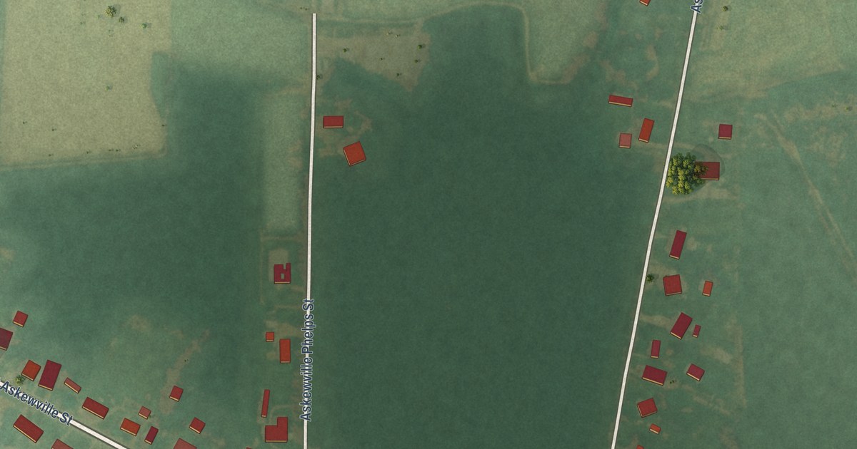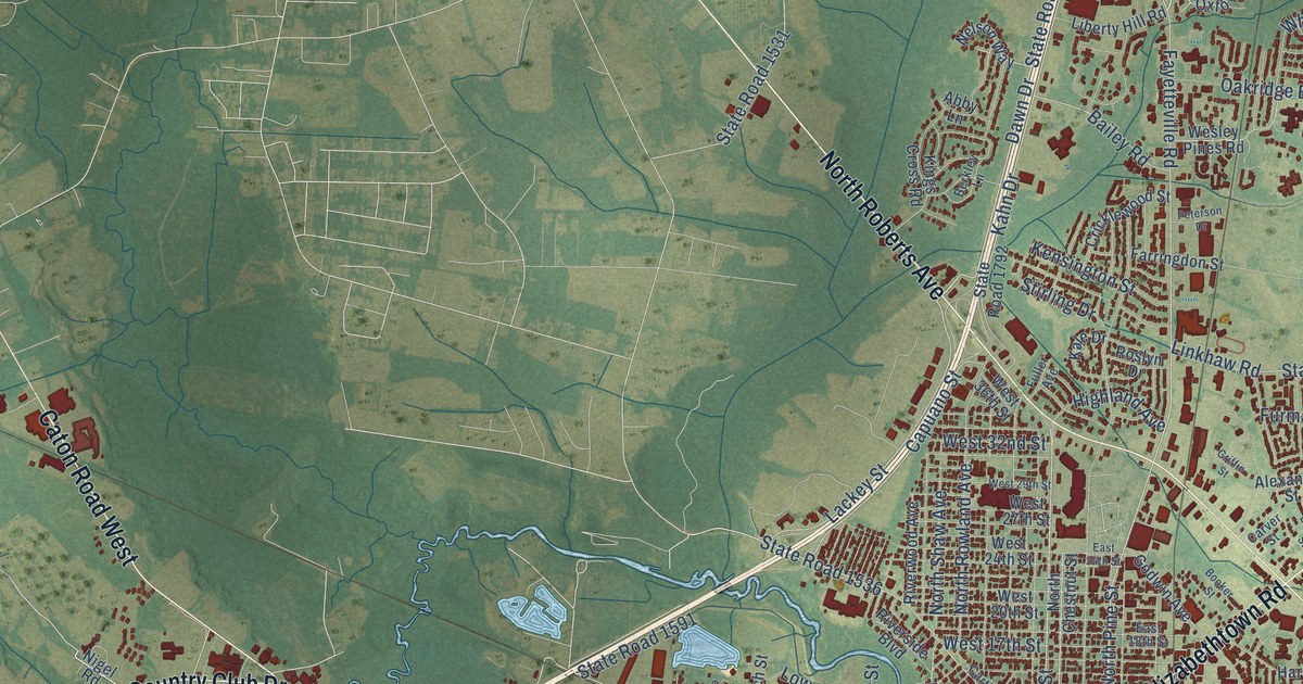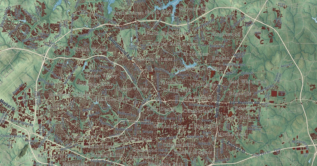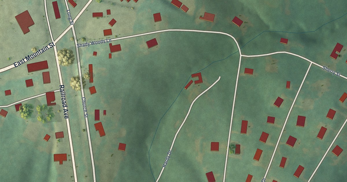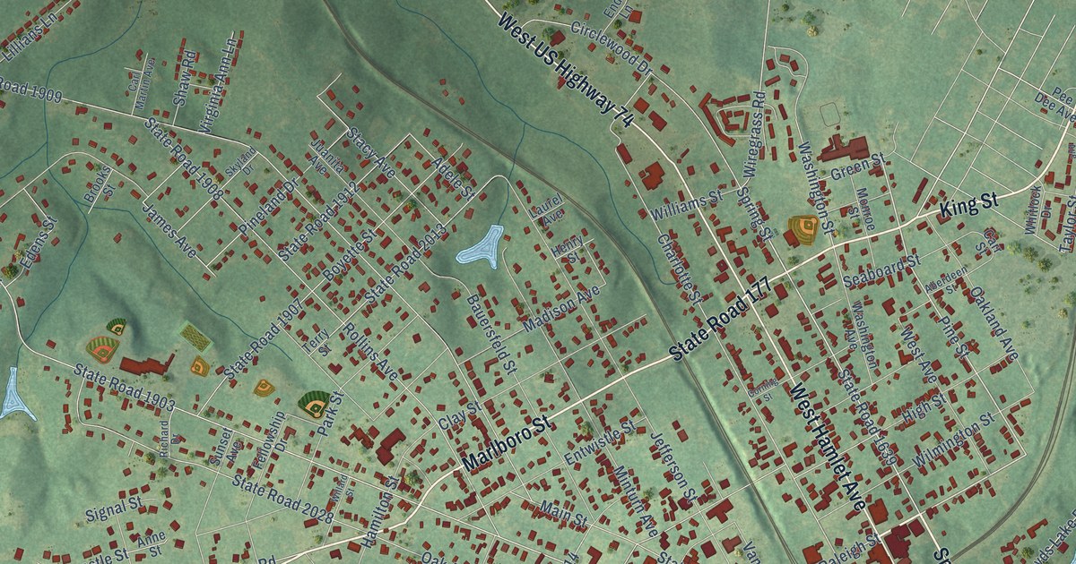
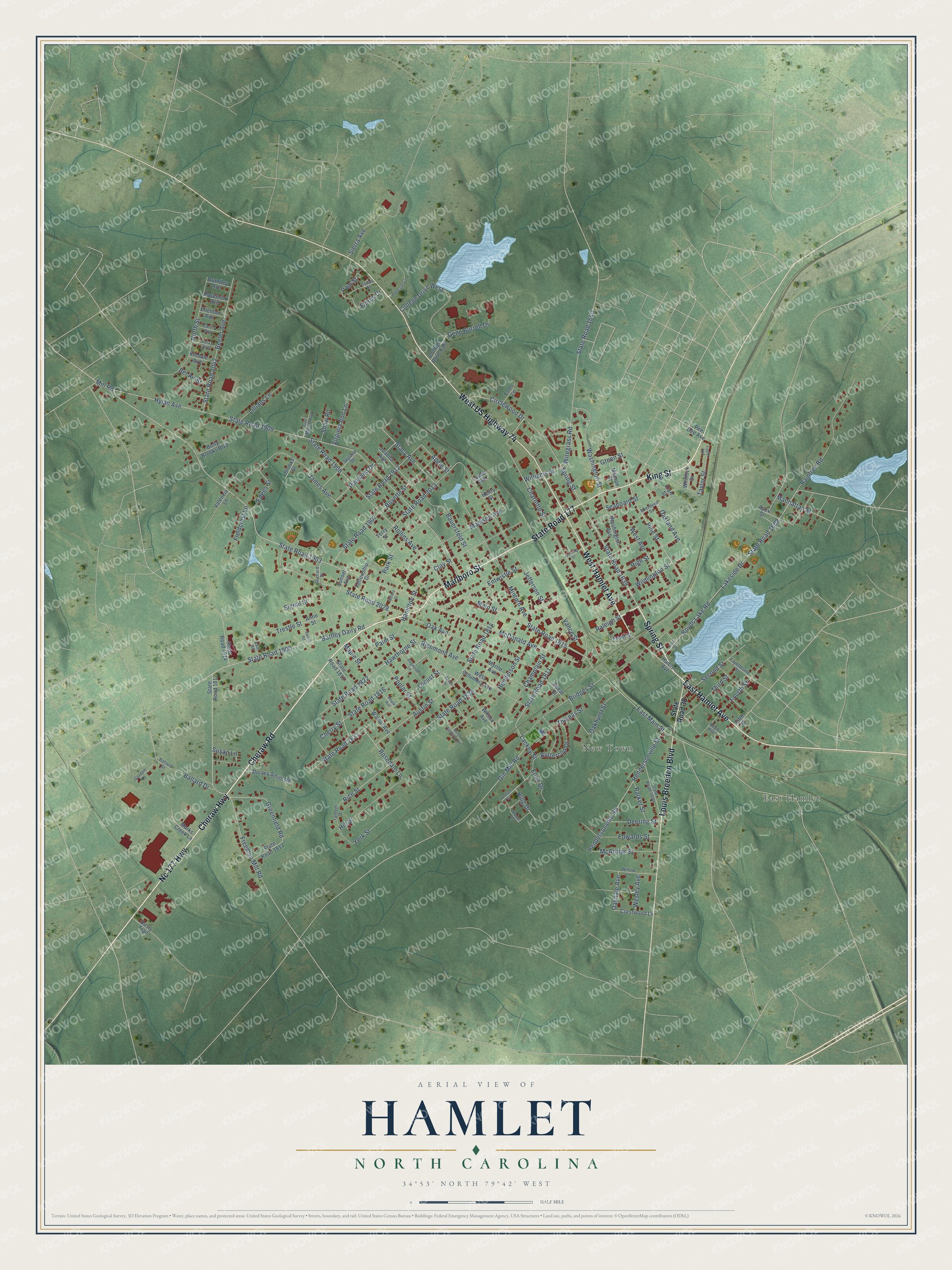
This beautifully detailed map of Hamlet, North Carolina was created in 2026 using aerial imagery combined with modern topographical, census, street and landmark data. It's a modern aerial view of Hamlet in Richmond County, North Carolina, that combines modern data with a vintage aesthetic. The roads feature printed names, and if you look closely you can find your exact house accurately shown in its correct location.
Explore an aerial view of Hamlet, North Carolina
On this map you'll find East Hamlet, New Town, Cheraw Road, Marlboro Street, King Street, Spring Street, Cheraw Highway, Nc 177 Highway, East Hamlet Avenue, West Hamlet Avenue, State Road 177, West US Highway 74, and more. Each red shape is a building, so zoom in on the preview and look for yours.
Hamlet is a city in Richmond County. The Census Bureau counted 6,025 people here in 2020. The map prints the town name in its title panel, with the coordinates below it.
Take a closer look at the Hamlet map
Names on this map
These names are printed on this map.
Places: East Hamlet and New Town.
Streets and roads: Cheraw Road, Marlboro Street, King Street, Spring Street, Cheraw Highway, Nc 177 Highway, East Hamlet Avenue, West Hamlet Avenue, State Road 177, West US Highway 74, Louis Breeden Boulevard, Pine Street.
More street names, A to Z
Aberdeen Street, Adele Street, Anderson Court, Anne Street, Apex Street, Austin Street, Axle Road, Ballard Drive, Ballard Street, Battley Dairy Road, Bauersfeld Street, Beech Street, Beeler Avenue, Bel Air Street, Betty Brooks Boulevard, Boyd Avenue, Boyds Lake Road, Boyette Street, Brantley Avenue, Bridges Street, Brooks Drive, Brooks Street, Buttercup Drive, Carl Martin Avenue, Carr Street, Champlain Street, Charlotte Street, Cherry Street, Circlewood Drive, Clay Street, College Drive East, College Drive West, Corning Street, Crestwood Lane, Curtis Avenue, Deering Street, Dogwood Lane, Dorsey Smith Road, Dusty Trail, East Main Street, Edens Street, Edwards Street, Ellen Drive, Ellenton Avenue, Endo Lane, Entwistle Street, Faires Drive, Fayetteville Street, Fellowship Drive, Fieldcrest Lane, Fifth Street, First Street, Fourth Street, Freeman Mill Road, Front Street, Gene Burrell Drive, Gin Mill Road, Gordon Lane, Greenfield Road, Green Street, Hamilton Street, Hamlet Avenue, Hawthorne Street, Henderson Street, Hendersonville Road, Hendersonville Street, Henry Street, Herman Street, High Street, Hill Street, Hylan Avenue, James Avenue, Jefferson Street, Jones Street, Juanita Avenue, Kindale Avenue, King Drive, Lackey Street, Lakeside Drive, Laray Avenue, Laurel Avenue, Lillians Lane, Locust Street, Madison Avenue, Main Street, Manhattan Street, Maple Avenue, Maple Street, Marks Creek Lane, McArthur Street, McDonald Avenue, Mill Road, Minturn Avenue, Monroe Street, Myrtle Avenue, North Carolina Avenue, North Street, Oak Avenue, Oakdale Avenue, Oakhurst Street, Oakland Avenue, Palm Street, Pam Street, Parker Street, Park Street, Pee Dee Avenue, Pineland Drive, Poplar Street, Raintree Road, Raleigh Street, Rice Street, Richard Drive, Richmond Avenue, Rollins Avenue, Rosedale Lane, Rosemont Avenue, Seaboard Street, Second Street, Shaw Road, Sierra Avenue, Signal Street, Skyland Drive, Spear Street, Stacy Avenue, State Road 38, State Road 1608, State Road 1615, State Road 1639, State Road 1640, State Road 1809, State Road 1811, State Road 1812, State Road 1813, State Road 1814, State Road 1815, State Road 1816, State Road 1822, State Road 1831, State Road 1834, State Road 1900, State Road 1903, State Road 1907, State Road 1908, State Road 1909, State Road 1912, State Road 1914, State Road 2013, State Road 2028, State Road 2042, Sunset Avenue, Susan Lane, Switch Road, Tarheel Drive, Taylor Avenue, Taylor Street, Terry Street, Third Street, Thomas Street, Trestle Street, Valencia Lane, Vance Street, Virginia Ann Lane, Walnut Avenue, Washington Avenue, Washington Street, Wesley Avenue, West Avenue, West Columbia Avenue, Whitlock Drive, Willard Street, Williams Street, Willow Lane, Wilmington Street, Wilson Avenue, Wiregrass Road, York Street.
Created by KNOWOL in 2026. The buildings are small red shapes, the roads carry their printed names, and shaded relief shows the shape of the land. The title panel reads "AERIAL VIEW OF HAMLET NORTH CAROLINA" with 34°53' NORTH 79°42' WEST.
It looks right in a kitchen, an office or a den, and it's a gift for anyone who grew up in Hamlet or moved away. Open the preview and find your street. See sizes and frames for the Hamlet map.