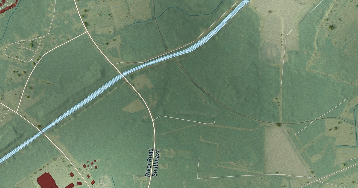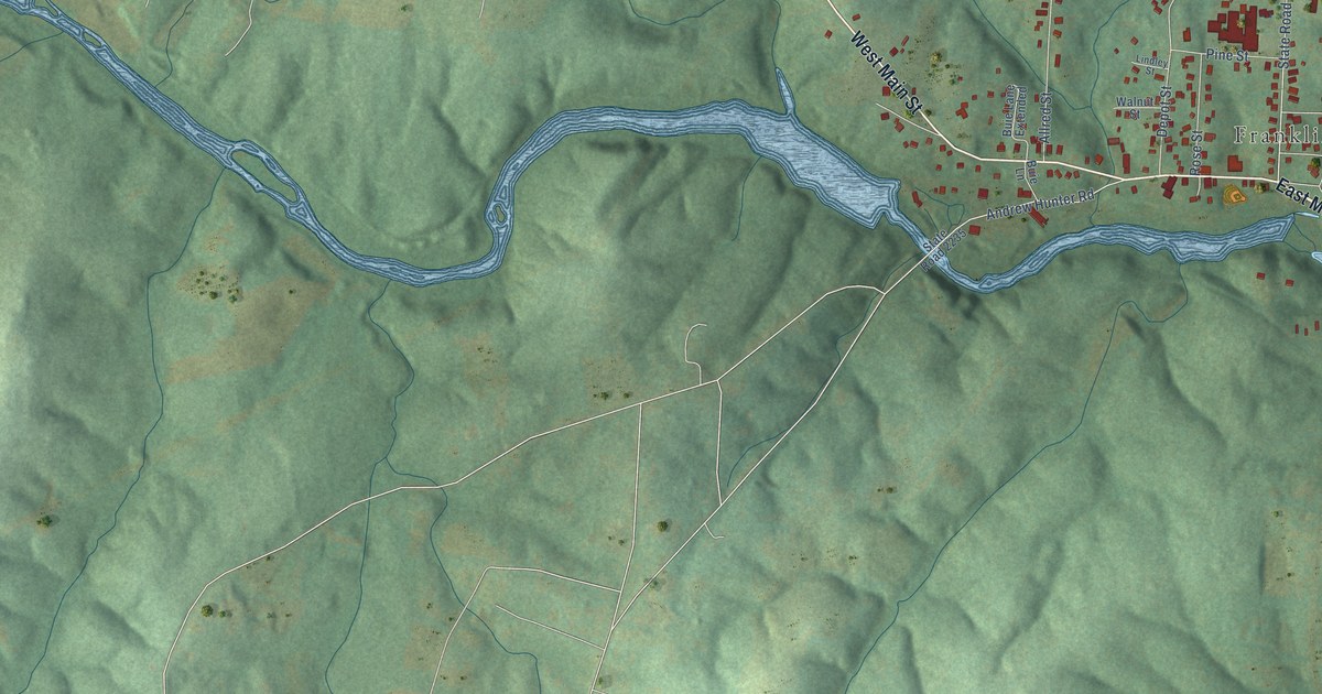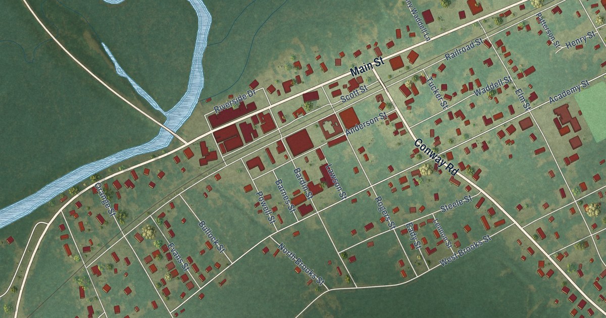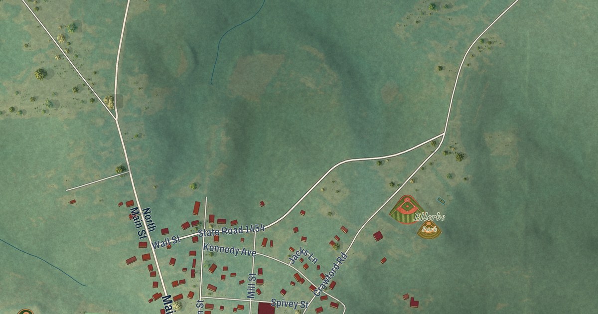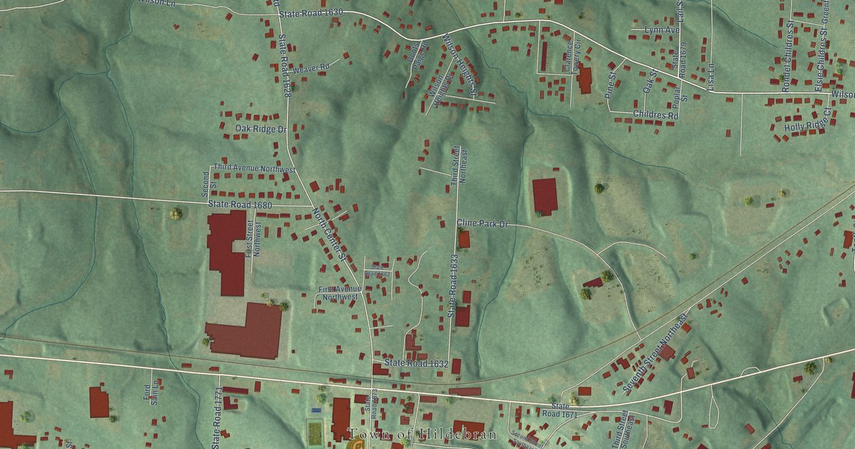
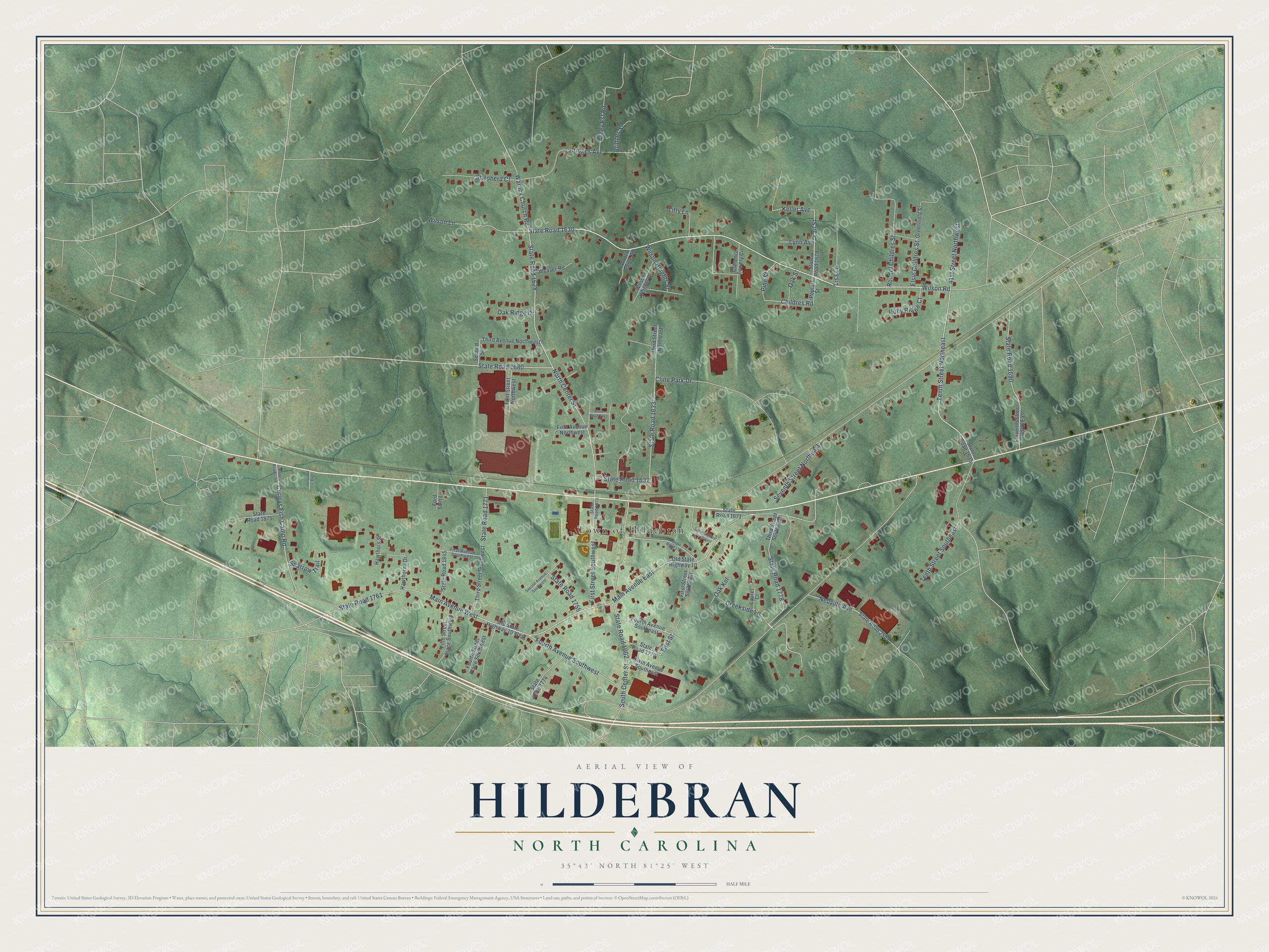
This beautifully detailed map of Hildebran, North Carolina was created in 2026 using aerial imagery combined with modern topographical, census, street and landmark data. It's a modern aerial view of Hildebran in Burke County, North Carolina, that combines modern data with a vintage aesthetic. The roads feature printed names, and if you look closely you can find your exact house accurately shown in its correct location.
Explore an aerial view of Hildebran, North Carolina
On this map you'll find Town of Hildebran, State Road 1630, Wilson Road, Tenth Street Northeast, Lail Street, Main Avenue West, Curleys Fish Camp Road, Keller Avenue, North Center Street, Main Avenue East, Childres Road, First Street, and more. Each red shape is a building, so zoom in on the preview and look for yours.
Hildebran has a story worth telling. The Town of Hildebran puts it this way: "In the 1800s, Jake Hildebrand, son of one of the first descendants, put the first switch off the railroad into his sawmill so he could saw timber from his farmland."
Hildebran is a town in Burke County. The Census Bureau counted 1,679 people here in 2020.
Take a closer look at the Hildebran map
Names on this map
These names are printed on this map.
Places: Town of Hildebran.
Streets and roads: State Road 1630, Wilson Road, Tenth Street Northeast, Lail Street, Main Avenue West, Curleys Fish Camp Road, Keller Avenue, North Center Street, Main Avenue East, Childres Road, First Street, State Road 1761.
More street names, A to Z
41st Street Northwest, Arney Est Road, Bridges Avenue, Bridges Street, Clarence Towery Circle, Cline Park Drive, Creekside Lane, Doots Paige Road, Eleventh Street North East, Elsie Childres Street, Fifth Street Place Southwest, First Avenue Northwest, First Avenue Southwest, First Street Northwest, First Street Southeast, First Street Southwest, Ford Sain Lane, Fourth Avenue Southeast, Fourth Avenue Southwest, Fourth Street Place Southwest, Greenfield Street, Hawthorne Drive, Hawthorn Street, Holly Ridge Court, Jacquard Drive, Laurel Court, Lisa Lane, Litty Lane, Lynn Avenue, Neuville Avenue, Oak Knl, Oak Ridge Drive, Oak Street, Old State Highway 10, Old State Highway 10 West, Pine Street, Poplar Street, Rondel Childres Street, Second Avenue Southwest, Second Street, Second Street Southeast, Seventh Street Northeast, Shepherd Court, Sixth Avenue Southeast, South Center Street, Sparrow Trail, State Road 1002, State Road 1628, State Road 1632, State Road 1633, State Road 1635, State Road 1662, State Road 1671, State Road 1679, State Road 1680, State Road 1690, State Road 1755, State Road 1768, State Road 1771, State Road 1774, State Road 1776, State Road 1778, State Road 1779, State Road 1845, State Road 1873, State Road 1875, State Road 2503, Tenth Street Southeast, Third Avenue Northwest, Third Street Northeast, Third Street Southeast, Third Street Southwest, Warlick Church Road, Weaver Road, Wilson Heights Drive, Wilson Heights Street, Wilson Lane.
Created by KNOWOL in 2026. The buildings are small red shapes, the roads carry their printed names, and shaded relief shows the shape of the land. The title panel reads "AERIAL VIEW OF HILDEBRAN NORTH CAROLINA" with 35°43' NORTH 81°25' WEST.
It looks right in a kitchen, an office or a den, and it's a gift for anyone who grew up in Hildebran or moved away. Open the preview and find your street. See sizes and frames for the Hildebran map.