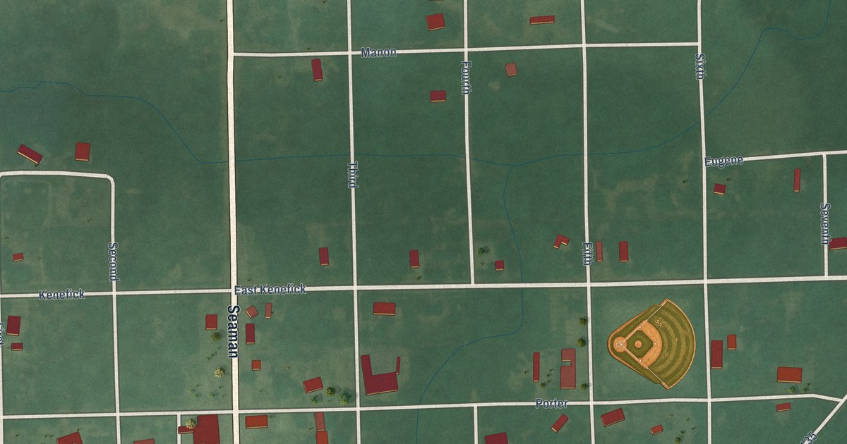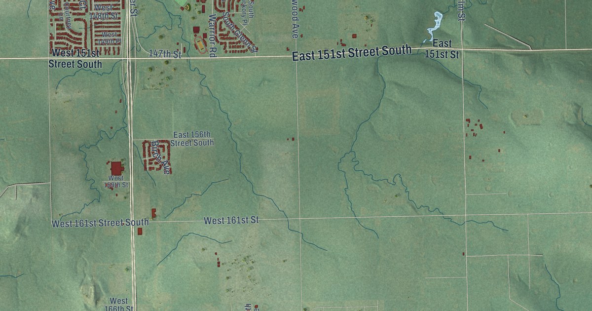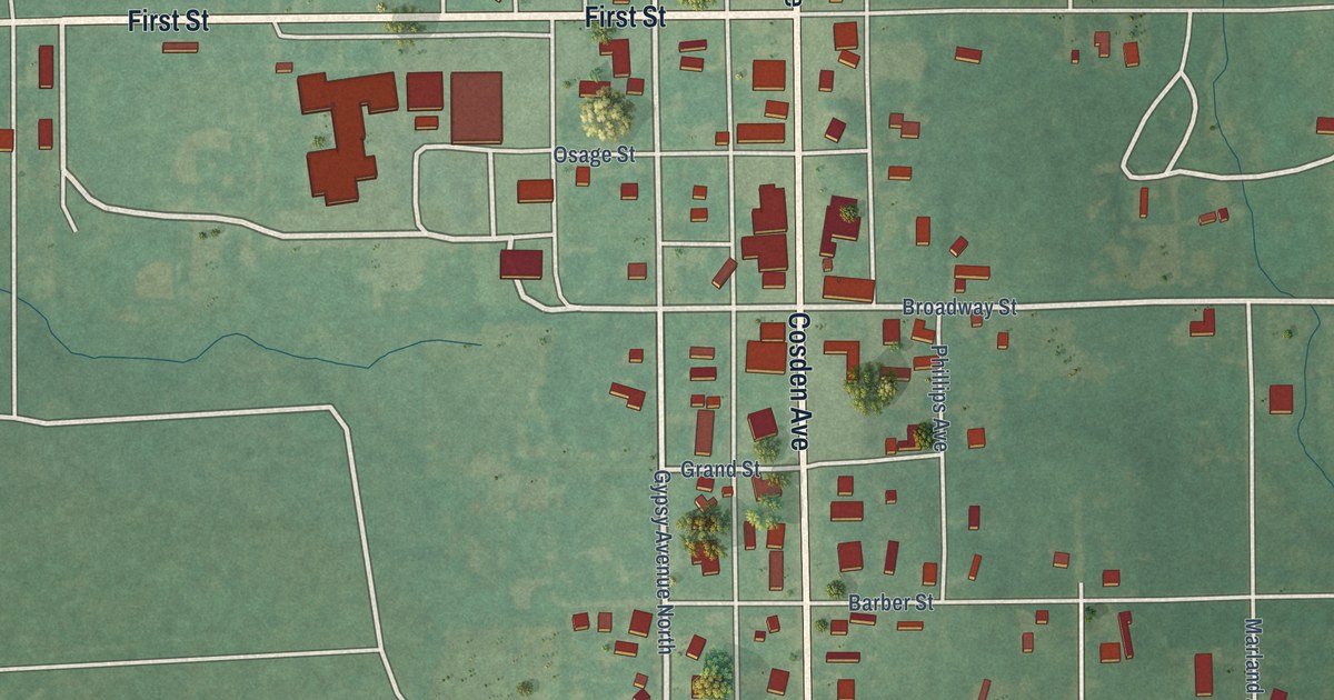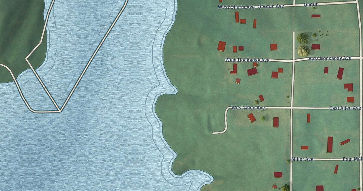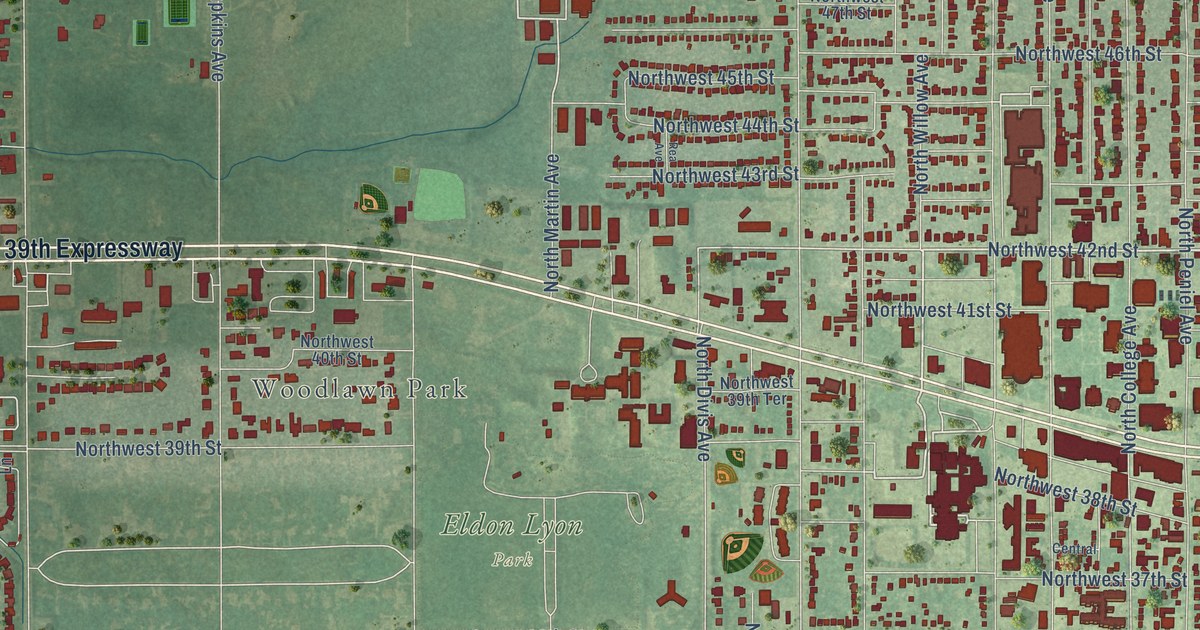
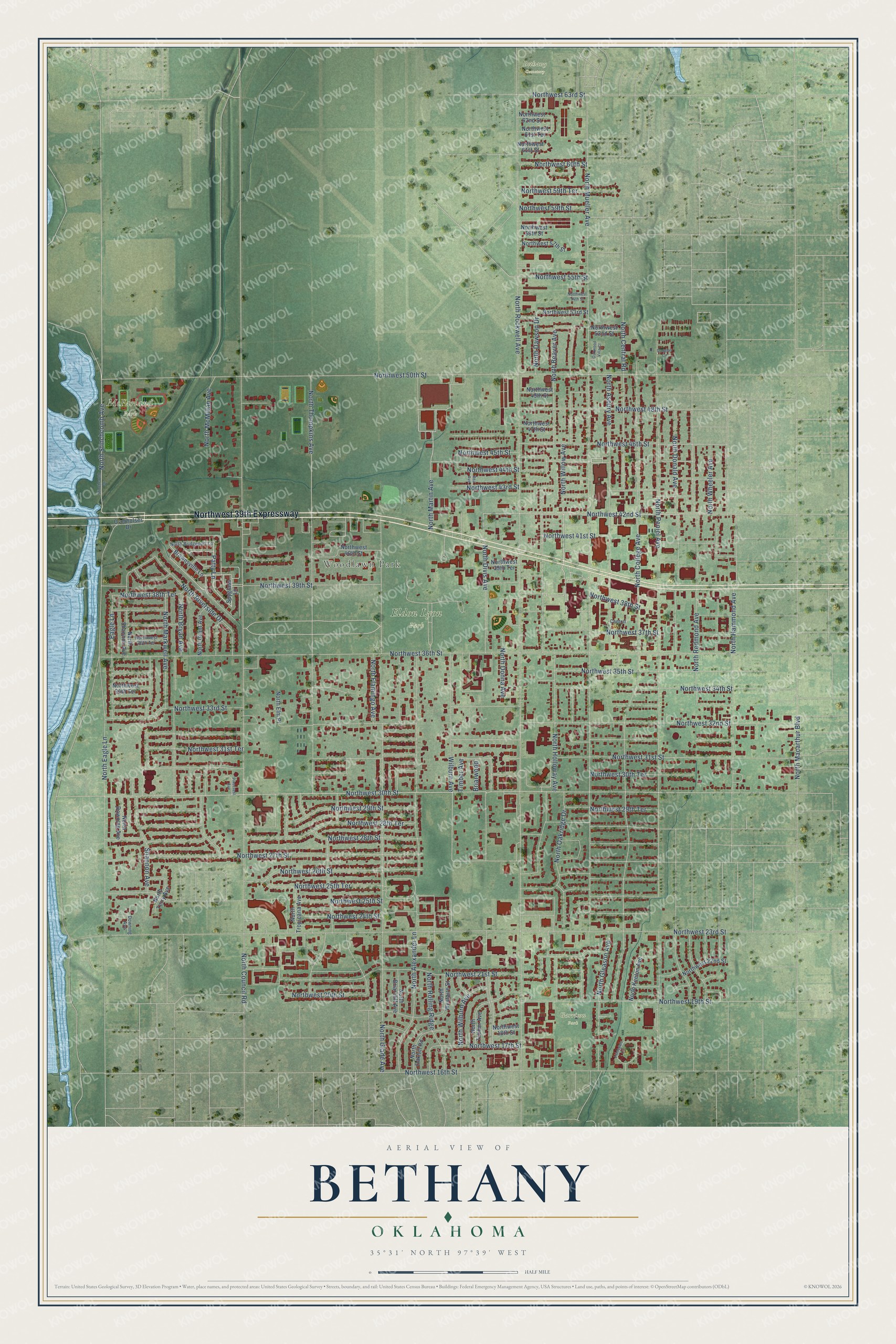
This beautifully detailed map of Bethany, Oklahoma was created in 2026 using aerial imagery combined with modern topographical, census, street and landmark data. It's a modern aerial view of Bethany in Oklahoma County, Oklahoma, that combines modern data with a vintage aesthetic. The roads feature printed names, and if you look closely you can find your exact house accurately shown in its correct location.
Explore an aerial view of Bethany, Oklahoma
On this map you'll find Woodlawn Park, Eldon Lyon Park, McFarland Park, Bethany Cemetery, Garrison Park, Northwest 39th Expressway, North Willow Avenue, Northwest 19th Street, Northwest 42nd Street, Patty Lane, Northwest 30th Street, North Divis Avenue, and more. Each red shape is a building, so zoom in on the preview and look for yours.
Bethany has a story worth telling. The record at okhistory.org puts it this way: "Pentecostal Church of the Nazarene members moved from Beulah Heights in northwest Oklahoma City to Bethany by following the El Reno interurban."
Bethany is a city in Oklahoma County.
Take a closer look at the Bethany map
Names on this map
These names are printed on this map.
Places: Woodlawn Park, Eldon Lyon Park, McFarland Park, Bethany Cemetery and Garrison Park.
Streets and roads: Northwest 39th Expressway, North Willow Avenue, Northwest 19th Street, Northwest 42nd Street, Patty Lane, Northwest 30th Street, North Divis Avenue, North Gleason Avenue, Northwest 31st Street, Wilburn Avenue, Eagle Lane, North Rockwell Avenue.
More street names, A to Z
Briarwood, Brownsville Lane, Central, Douglas Circle, Downing Avenue, Lionsgate Circle, North Alexander Lane, North Asbury Avenue, North Beaver Avenue, North Briarcliff Avenue, North Bridgeport Lane, North Bryan Avenue, North Central Road, North College Avenue, North Council Road, North Dawson Drive, North Donald Avenue, North Donna Avenue, North Downing Avenue, North Eagle Lane, North Elm Place, North Flamingo Avenue, North Glade Avenue, North Grant Avenue, North Hammond Avenue, North Holloway Avenue, North Keeton Avenue, North Macarthur Boulevard, North Markwell Avenue, North Martin Avenue, North McMillan Avenue, North Mueller Avenue, North Oakhill Road, North Oakridge Drive, North Peniel Avenue, North Redmond Avenue, North Riverside Drive, North Rolling Ridge, North Shannon Avenue, North Stinchcomb Avenue, North Terry Avenue, North Thompkins Avenue, North Timber Avenue, North Tropicana Avenue, Northwest 16th Street, Northwest 17th Street, Northwest 18th Street, Northwest 20th Street, Northwest 21st Street, Northwest 22nd Street, Northwest 23rd Street, Northwest 24th Street, Northwest 25th Street, Northwest 25th Terrace, Northwest 26th Street, Northwest 27th Street, Northwest 28th Street, Northwest 28th Terrace, Northwest 29th Street, Northwest 29th Terrace, Northwest 30th Terrace, Northwest 31st Terrace, Northwest 32nd Street, Northwest 33rd Street, Northwest 34th Street, Northwest 34th Terrace, Northwest 35th Street, Northwest 36th Street, Northwest 36th Terrace, Northwest 37th Street, Northwest 38th Street, Northwest 38th Terrace, Northwest 39th Street, Northwest 39th Terrace, Northwest 40th Street, Northwest 41st Street, Northwest 43rd Street, Northwest 44th Street, Northwest 45th Street, Northwest 46th Street, Northwest 47th Street, Northwest 48th Street, Northwest 49th Street, Northwest 50th Street, Northwest 52nd Street, Northwest 53rd Street, Northwest 54th Street, Northwest 55th Street, Northwest 57th Street, Northwest 58th Street, Northwest 59th Street, Northwest 59th Terrace, Northwest 60th Street, Northwest 61st Street, Northwest 61st Terrace, Northwest 62nd Street, Northwest 63rd Street, North Westaire Street, North Wheeler Avenue, North Wilburn Avenue, Oakwood Villa Court, Overholser Drive, Pinecrest Avenue, Rea Avenue, Shannon Avenue, Spyglass Lane, Stinchcomb Drive, Timber Avenue.
Created by KNOWOL in 2026. The buildings are small red shapes, the roads carry their printed names, and shaded relief shows the shape of the land. The title panel reads "AERIAL VIEW OF BETHANY OKLAHOMA" with 35°31' NORTH 97°39' WEST.
It looks right in a kitchen, an office or a den, and it's a gift for anyone who grew up in Bethany or moved away. Open the preview and find your street. See sizes and frames for the Bethany map.