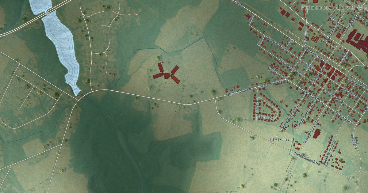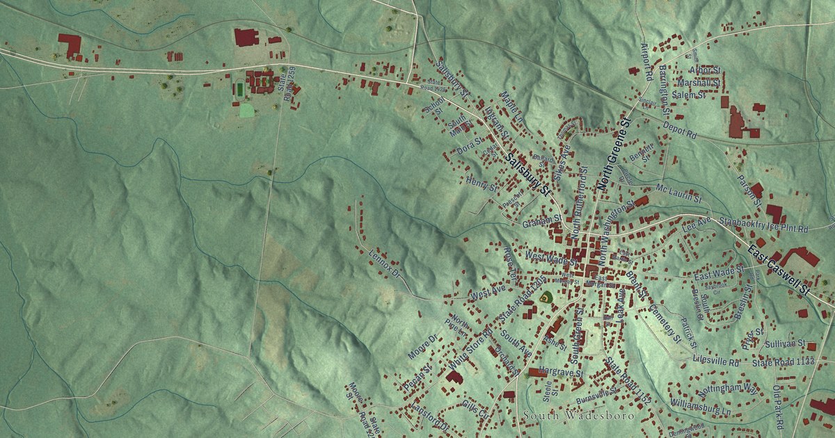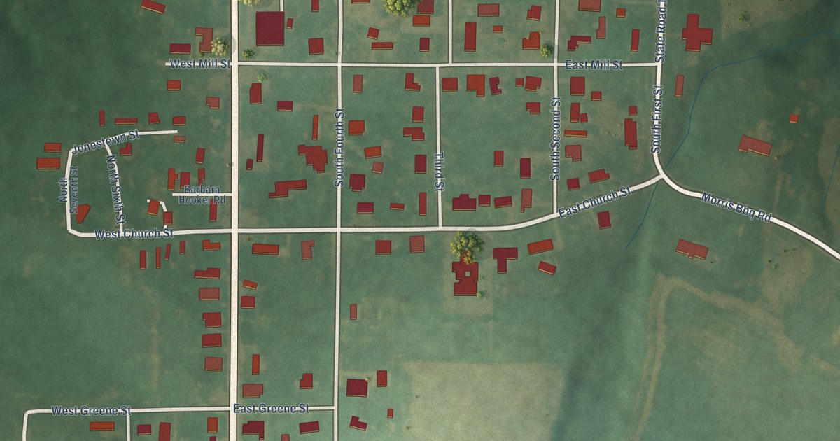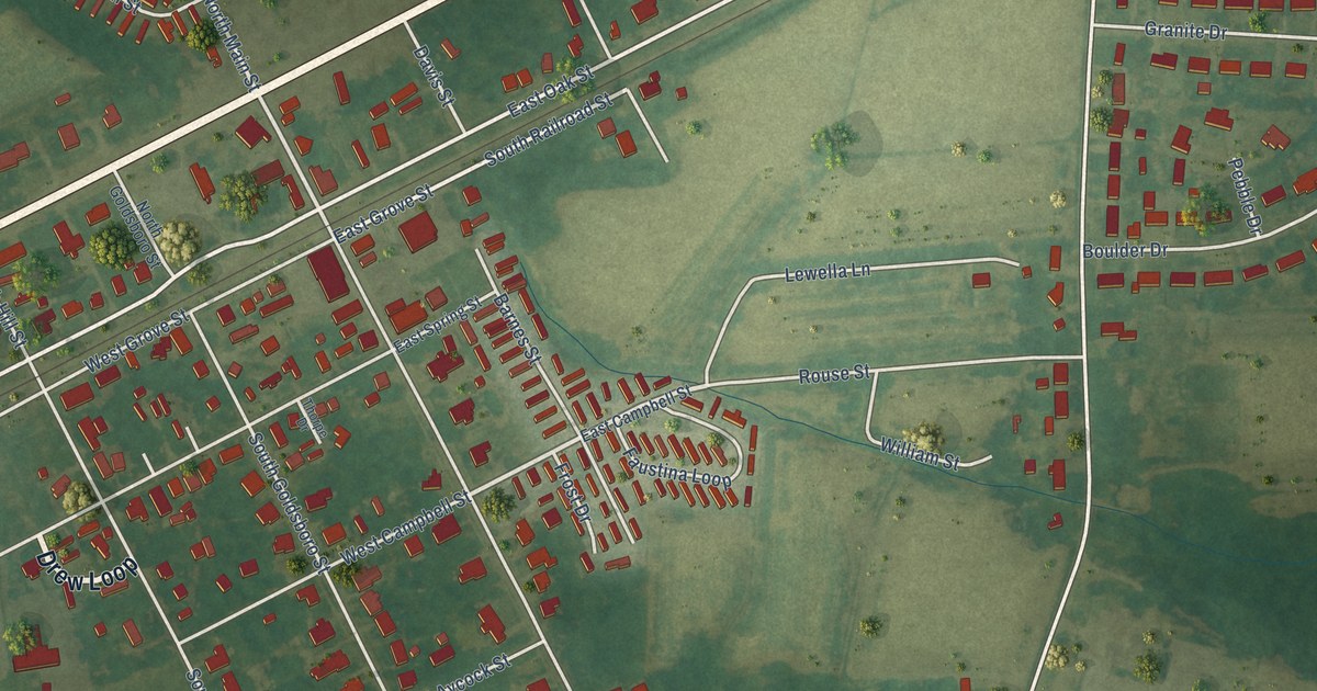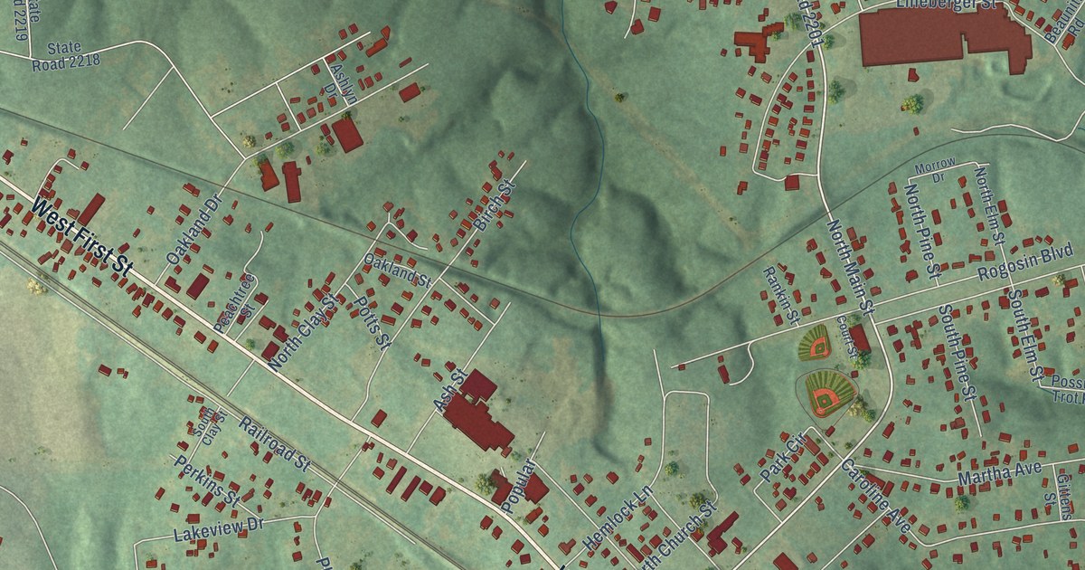
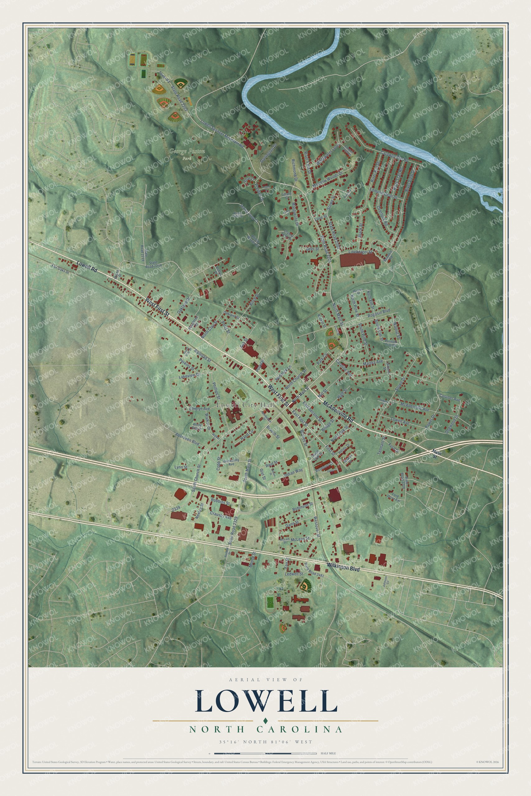
This beautifully detailed map of Lowell, North Carolina was created in 2026 using aerial imagery combined with modern topographical, census, street and landmark data. It's a modern aerial view of Lowell in Gaston County, North Carolina, that combines modern data with a vintage aesthetic. The roads feature printed names, and if you look closely you can find your exact house accurately shown in its correct location.
Explore an aerial view of Lowell, North Carolina
On this map you'll find Lowell City Hall, George Poston Park, McAdenville Road, West First Street, Lowell Road, Wilkinson Boulevard, South Main Street, East First Street, North Main Street, Cobb Street, State Road 2201, State Road 2329, and more. Each red shape is a building, so zoom in on the preview and look for yours.
Here is a piece of Lowell history, in the words of the record. The North Carolina Gazetteer puts it this way: "First known as Wrights Station for William Wright, nearest resident. Inc. 1879 as Lowell because the construction of several textile mills there suggested the name of the textile center in Massachusetts."
Lowell is a city in Gaston County. The Census Bureau counted 3,654 people here in 2020.
Take a closer look at the Lowell map
Names on this map
These names are printed on this map.
Places: Lowell City Hall and George Poston Park.
Streets and roads: McAdenville Road, West First Street, Lowell Road, Wilkinson Boulevard, South Main Street, East First Street, North Main Street, Cobb Street, State Road 2201, State Road 2329, South Church Street, Groves Street.
More street names, A to Z
Aberdeen Boulevard, Allison Woods Court, Alton Court, Alyssa Oaks Drive, Ashley Court, Ashlyn Drive, Ash Street, Beaunitt Road, Birch Street, Black Street, Bowen Drive, Branch Street, Bridge Street, Camden Crossing, Caroline Avenue, Catawba Run Road, Costner Avenue, Court Street, Crausby Avenue, Crystal Lynn Drive, Darlington Drive, Dogwood Drive, East Second Street, Edmund Dean Drive, Ethelyn Avenue, Fair Oaks Drive, Fair Street, First Street, Ford Drive, Ford Drive Extension, Gann Street, Geer Street, Gist Street, Gittens Street, Hand Circle, Helms Drive, Hemlock Lane, Henderson Street, High Street, Indian Way, Jenna Lynn Court, Johnson Circle, Kenworthy Avenue, Lakeview Drive, Ledwell Street, Lineberger Street, Love Street, Lowell Avenue, Lowell Spencer Mountain Road, Lowery Lane, Lynn Street, Main Street, Marguerite Drive, Martha Avenue, McAdenville Avenue, McLain Street, McLean Street, Meadow Woods Drive, Mill Street, Moose Street, Morrow Drive, Neeley Street, North Church Street, North Clay Street, North Elm Street, North Oak Street, North Pine Street, Oakland Drive, Oakland Street, Overlook Road, Owens Court, Park Circle, Peachtree Street, Perkins Street, Phillips Street, Popular, Possum Trot Road, Potts Street, Power Drive, Preston Drive, Railroad Street, Rankin Street, Redbud Drive, Reid Street, Rhyne Street, Richmond Drive, River Falls Drive, River Run Drive, Riverside Street, River Trail Road, River View Drive, Robbins Street, Robinson Street, Rogosin Boulevard, Roseboro Court, South Clay Street, South Elm Street, South Oak Street, South Pine Street, State Road 2203, State Road 2204, State Road 2208, State Road 2218, State Road 2219, State Road 2481, Stowe Drive, Stowe Street, Tennant Street, Tiffany Court, Tolbert Court, Tower Road, Walker Drive, Walker Street, Walnut Street, Westover Street, White Oak Drive, Whitewater Loop, Wilson Street.
Created by KNOWOL in 2026. The buildings are small red shapes, the roads carry their printed names, and shaded relief shows the shape of the land. The title panel reads "AERIAL VIEW OF LOWELL NORTH CAROLINA" with 35°16' NORTH 81°06' WEST.
It suits a den, a classroom or a front hall, and it makes a gift for anyone with Lowell roots. Open the preview and find the block you know. See sizes and frames for the Lowell map.