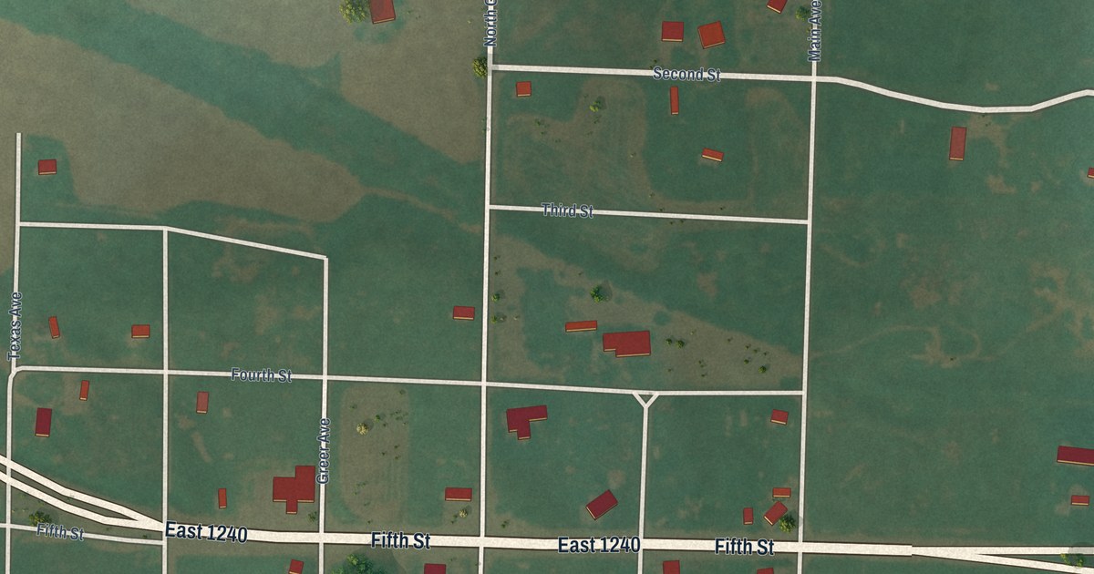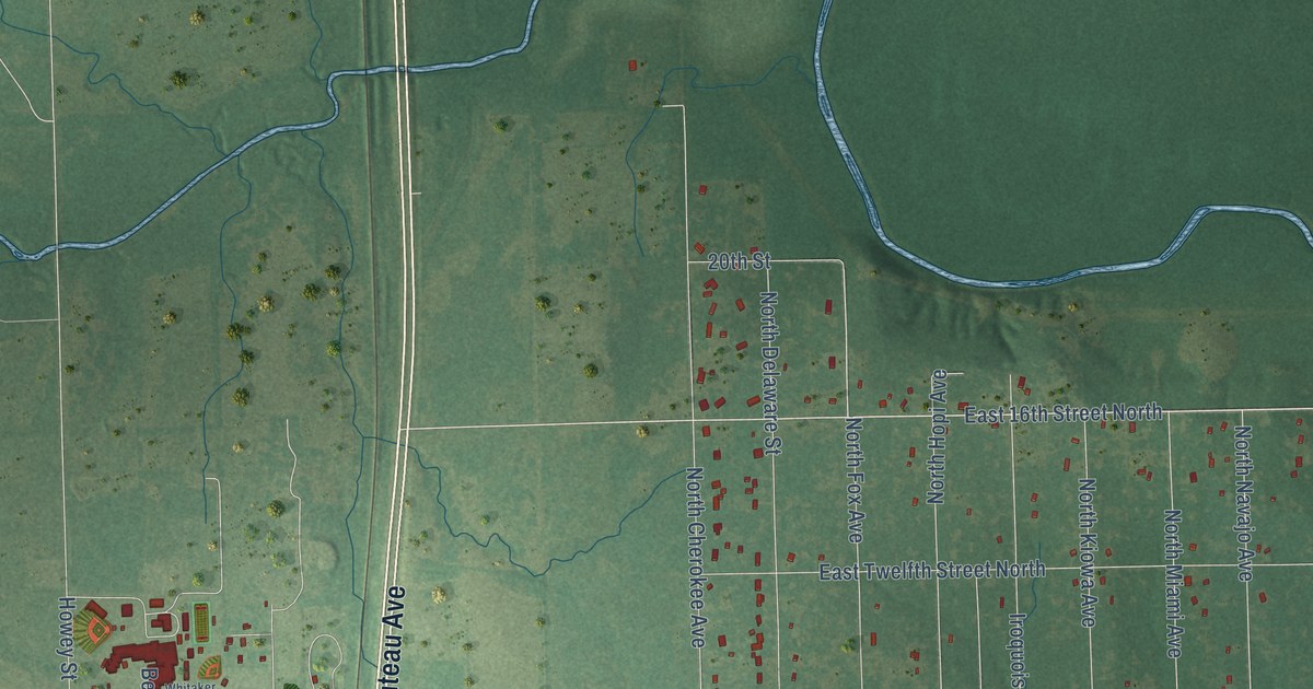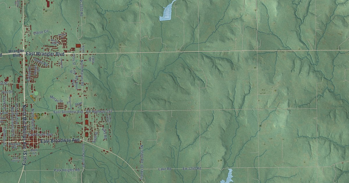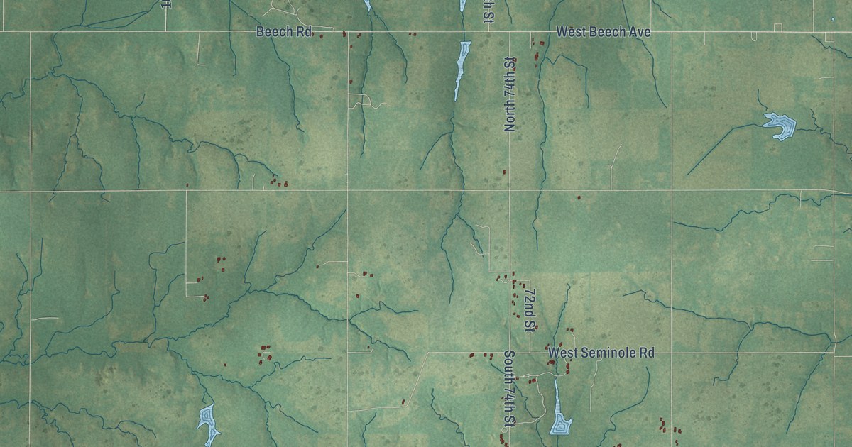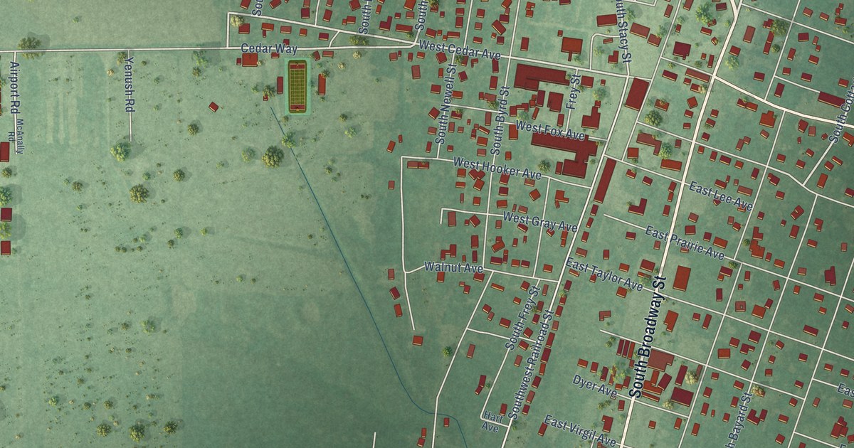
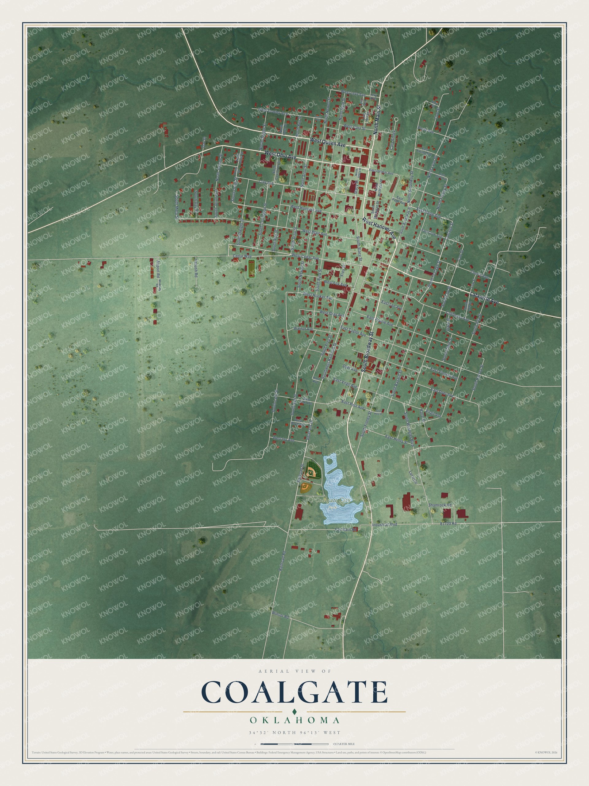
This beautifully detailed map of Coalgate, Oklahoma was created in 2026 using aerial imagery combined with modern topographical, census, street and landmark data. It's a modern aerial view of Coalgate in Coal County, Oklahoma, that combines modern data with a vintage aesthetic. The roads feature printed names, and if you look closely you can find your exact house accurately shown in its correct location.
Explore an aerial view of Coalgate, Oklahoma
On this map you'll find Coalgate City Park, West Hanover Avenue, South Broadway Street, North Main Street, West Ohio Avenue, West Queen Avenue, Lafayette Avenue, East Paige Avenue, Cottage Street, South Cottage Street, West Cedar Avenue, Cedar Way, and more. Each red shape is a building, so zoom in on the preview and look for yours.
Every town has a first chapter, and Coalgate is no exception. The record at okhistory.org puts it this way: "He placed a pile of stones to mark Number One slope mine, approximately where the county courthouse stood at the turn of twenty-first century."
Coalgate is a city in Coal County.
Take a closer look at the Coalgate map
Names on this map
These names are printed on this map.
Places: Coalgate City Park.
Streets and roads: West Hanover Avenue, South Broadway Street, North Main Street, West Ohio Avenue, West Queen Avenue, Lafayette Avenue, East Paige Avenue, Cottage Street, South Cottage Street, West Cedar Avenue, Cedar Way, Railroad Street.
More street names, A to Z
Airport Road, Amy Street, Boyle Avenue, California Avenue, Cary Annex, Cherry Avenue, Clark Street, Clay Avenue, Cloe Street, Coe Street, Cowley Avenue, Day Street, Dyer Avenue, East Crow Avenue, East Delmar Avenue, East Dyer Avenue, East Ewing Avenue, East Henry Street, East Lee Avenue, East Olive Avenue, East Page Avenue, East Post Avenue, East Post Street, East Prairie Avenue, East Taylor Avenue, East Vincent Avenue, East Virgil Avenue, Fair Barn Road, Frey Street, Hart Avenue, Industrial Boulevard, Levy Annex, Levy Anx, Levy Avenue, Low Street, Lursi Circle, McAnally Road, North Arno Street, North Broadway Street, North Byrd Street, North Covington Street, North Dwight Street, North Finney Street, North Jerome Street, North Lyon Street, North Michigan Street, North Newell Street, North Oden Street, North Orray Street, North Roy Street, North Stacy Street, Orray Street, Race Street, Railroad Road, Shamrock Road, South Ada Street, South Arno Street, South Ash Street, South Bayard Street, South Byrd Street, South Clark Street, South Coe Street, South Covington Street, South Day Street, South Dwight Street, South Finney Street, South Frey Street, South Harvey Street, South Jerome Street, South Lark Street, South Low Street, South Meta Street, South Michigan Street, South Newell Street, South Orray Street, South Roy Street, South Stacy Street, Southwest Railroad Street, South Wrangler Boulevard, Stacy Street, Veterans Drive, Virgil Avenue, Walnut Avenue, West Blair Avenue, West Boyd Avenue, West Cary Street, West Cowley Avenue, West Fox Avenue, West Gray Avenue, West Hooker Avenue, West Ivy Avenue, West Levy Avenue, West Oak Avenue, Winsor Road, Yenush Road.
Created by KNOWOL in 2026. The buildings are small red shapes, the roads carry their printed names, and shaded relief shows the shape of the land. The title panel reads "AERIAL VIEW OF COALGATE OKLAHOMA" with 34°32' NORTH 96°13' WEST.
Hang it in the hallway, the office or the cabin, or give it to someone who left Coalgate and still calls it home. Open the preview and look for a street you know. See sizes and frames for the Coalgate map.